Nombre:
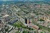
Puerto de Ámsterdam
Otro:
Localización:
View Larger Map
Tipo: Puertos
Categoría:
Foto:
Voto:
Continente: Europa
País: Países Bajos
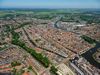
Localización: Ámsterdam
Año:
Estado: Terminado
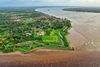
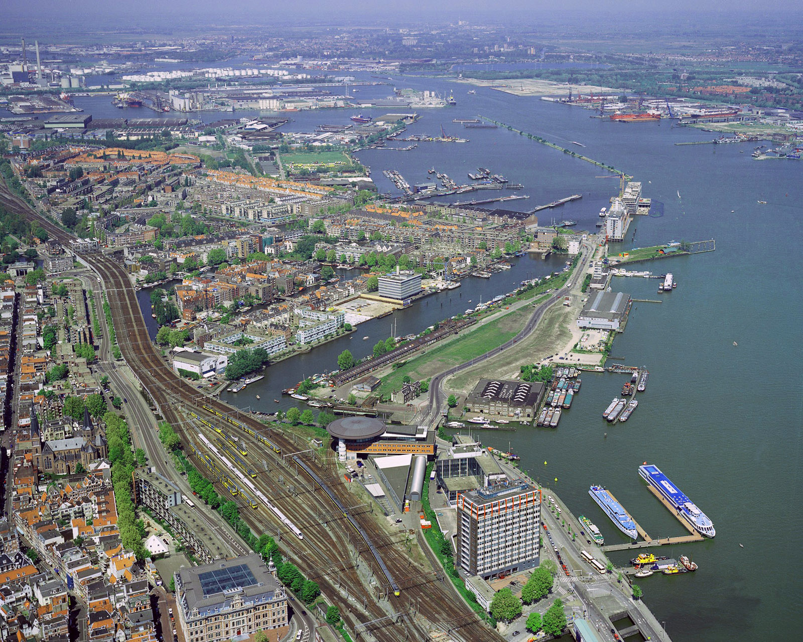
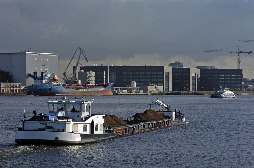
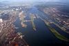
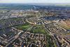
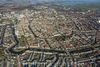
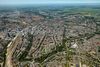
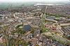
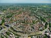
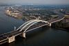
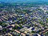
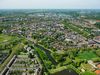
Descripción:Port of Amsterdam, Netherlands
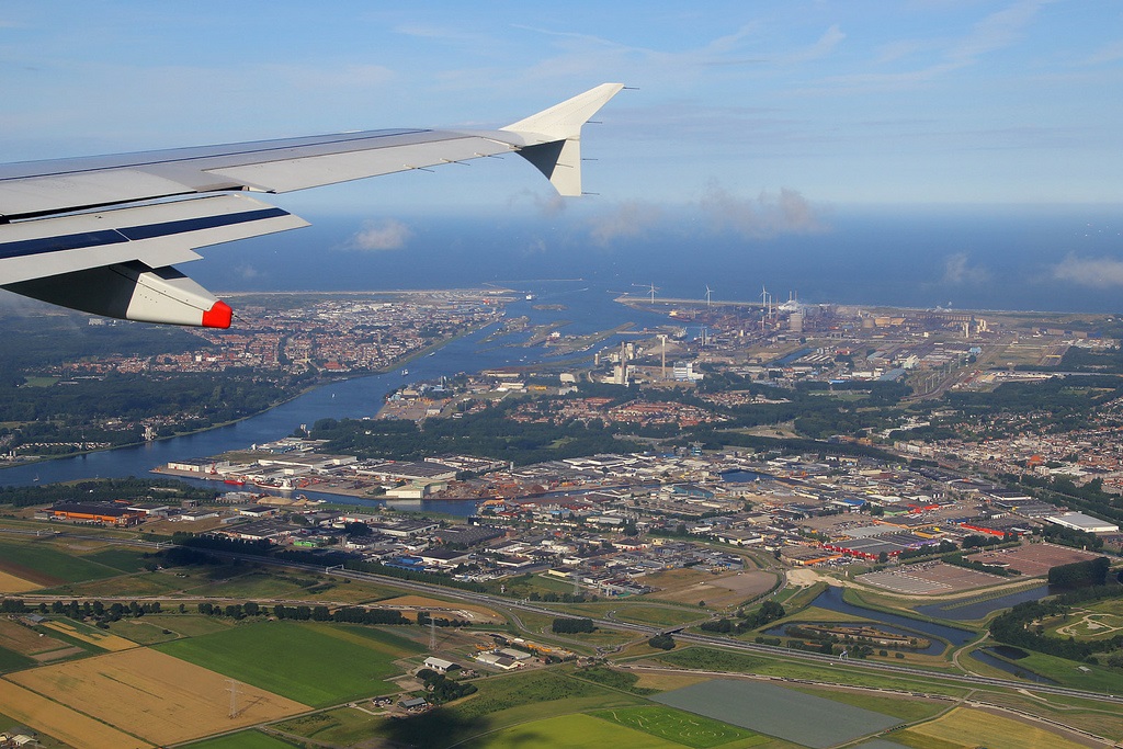
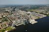
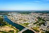
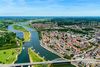
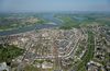
The Port of Amsterdam is a tideless port located on the banks of the North Sea Canal and IJsselmeer, a shallow artificial lake located in the northwest part of the Netherlands.
"The port has also initiated the Port of Amsterdam Sustainability and Innovation Fund."
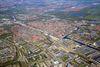
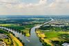
The port is connected to major international transport flows such as the North Sea, Den Helder, Markermeer, IJsselmeer and the River Rhine.

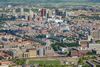
The port is the second largest in the Netherlands in terms of transshipment. It is ranked fourth among European ports. In the first half of 2011, the port handled 37.5 million tons of cargo, an increase of 5.7% compared to the first half of 2010.
The total amount of transshipment in 2010 was 72.7 million tons. A total of 198,530 sea cruise ship passengers and 264,540 river cruise ship passengers visited the Amsterdam port in 2010.
The Amsterdam port authority, as part of the local government, is responsible for operation, management and development of the whole port area.
Design of Port of Amsterdam
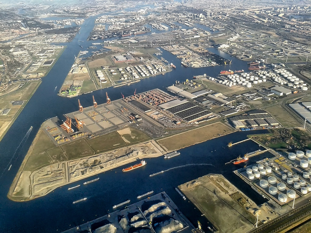
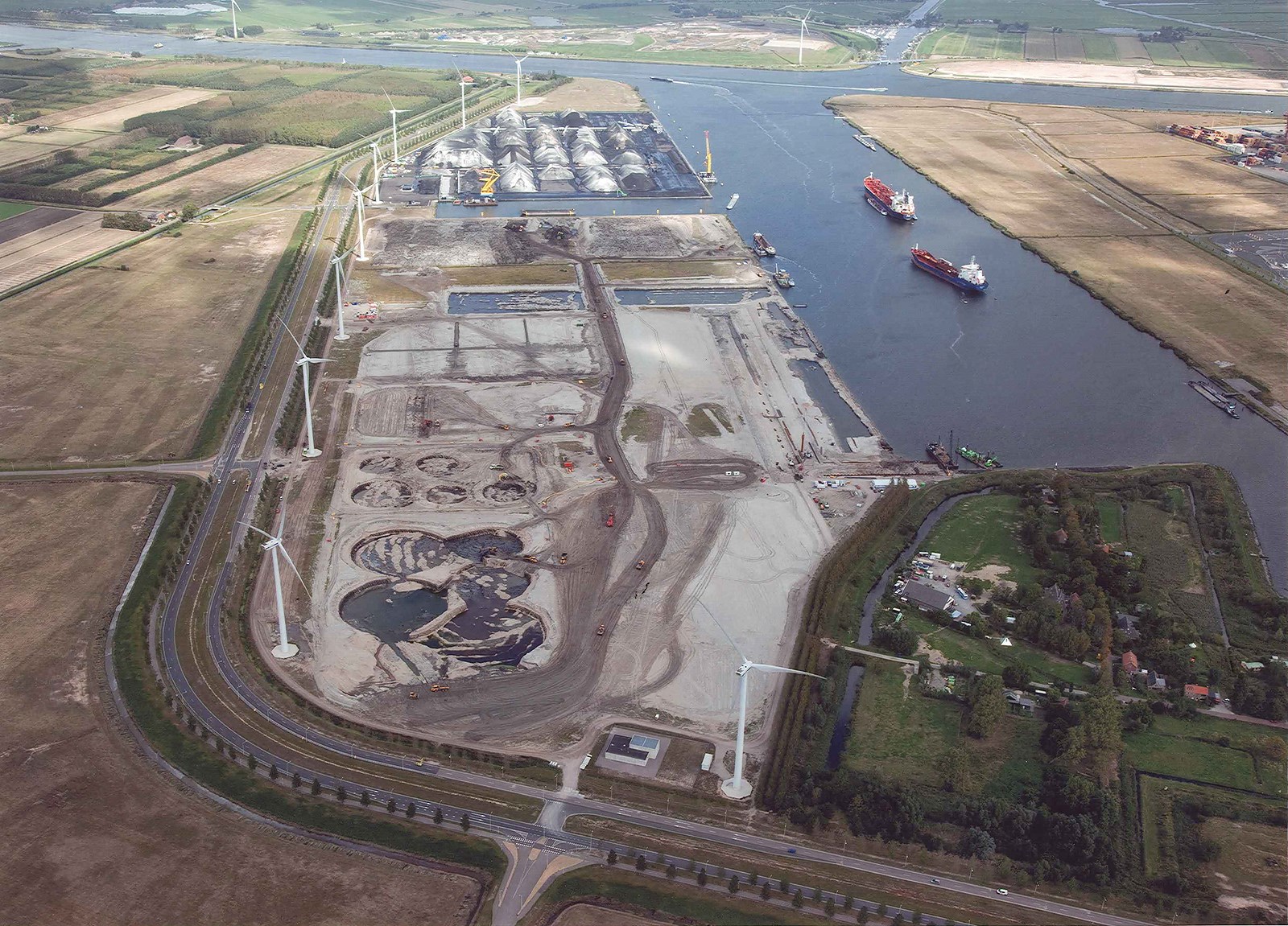
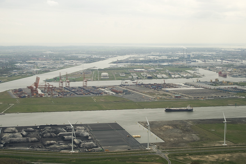
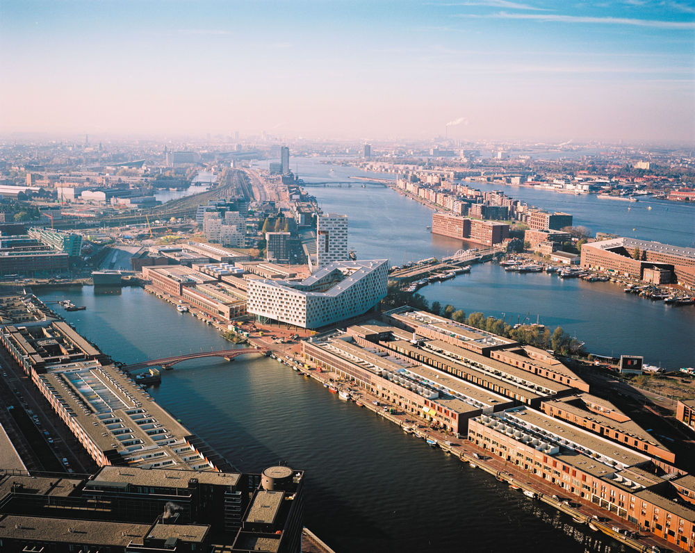
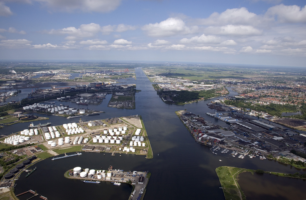
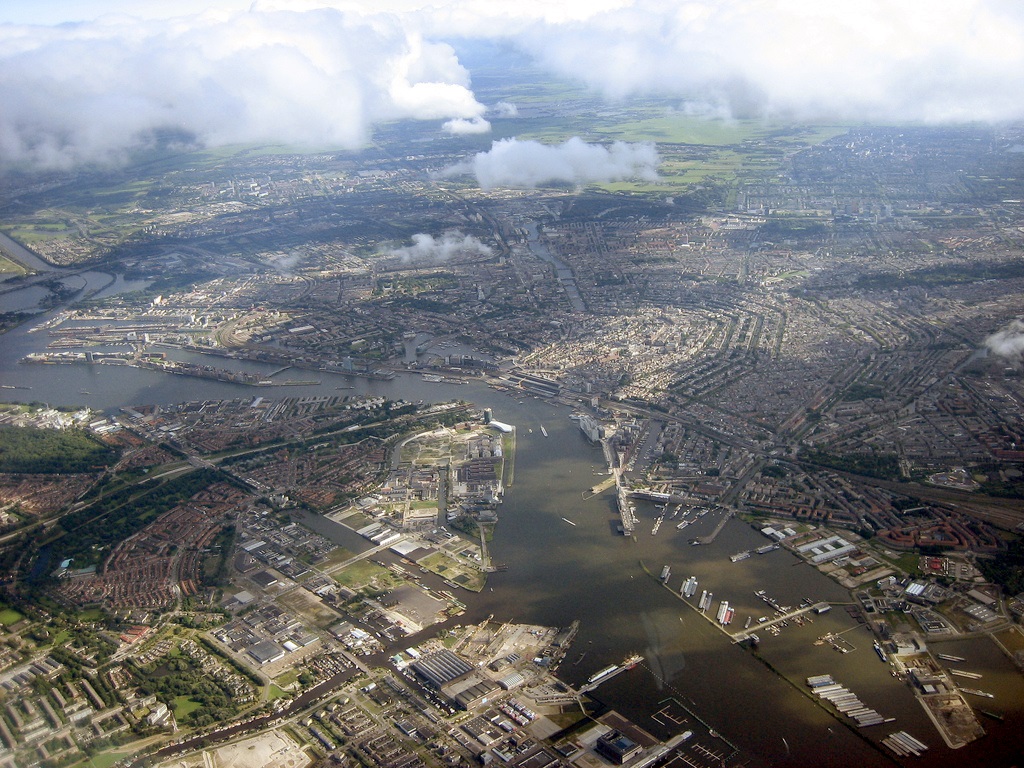
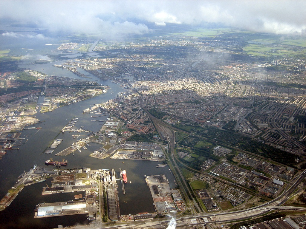
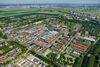
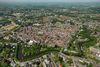
The Port of Amsterdam comprises 680ha of water surface and 1,960ha of land area that consists of port sites, quaysides, roads, railways and dikes. Of the total land area, 310ha is allocated for infrastructure, 1,305ha is issued for business sites and 345ha is available for rent or lease.
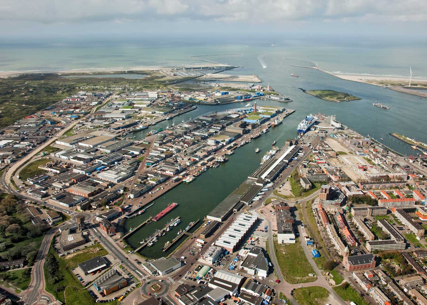
The port can be accessed from the sea as well as from inland waters. The sea route access is through the North Sea Canal. Oranje locks and Amsterdam Rhine canal provides access from inland waters. The maximum draught reserved to use the lock is 13.72m. The North Sea Canal is 275m wide and 20km long at the approach.
The port authority has taken various environmental measures to improve the natural environment in the port area. The Port of Amsterdam, in cooperation with Municipality of Zaanstad and Amsterdam's Department of the Environment and Buildings Inspectorate, has initiated a project called Afval = Grondstof (Waste = Raw Material).
The basic principle of this project is that residue flows and waste material produced by one company might become a source of raw material or source of energy for another company. The port provides project management, subsidy applications and location to those companies which want to exchange residue flows.
The port has also initiated the Port of Amsterdam Sustainability and Innovation Fund. For this, the authority is giving two million Euros in the form of subsidies for projects that can lead to sustainable and innovative development in the port area.
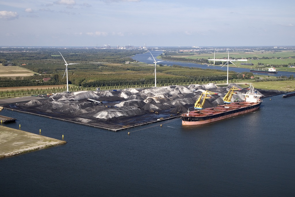
Other environmental measures include use of wind turbines for power generation, installation of shore power outlets at all public barge mooring facilities, production of energy by incineration of waste and installation and expansion of vapour recovery units in oil terminals.
Construction timeline and history
The first major development took place in the later half of 16th century and in the 17th century. The Ooster and Westerdok dikes were built in 1832 and 1834 respectively. Construction of the North Sea Canal in 1876 enabled seafaring vessels to reach the Port of Amsterdam.
The first part of the West port was built in early 1930s for a Ford car factory and the first part of the Asiahaven harbour was built at the end of 1970s. The Afrikahaven harbour was opened in 2000.
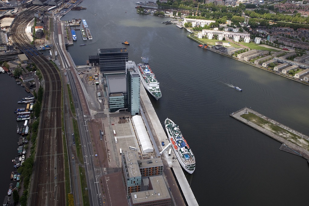
An all weather terminal was opened in 1998 by Waterland Terminal, a multipurpose, stevedoring and terminal operating company.
The Passenger Terminal Amsterdam was opened in 1999 and Amsterdam Container Terminal became operational in 2001.
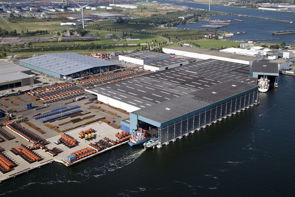
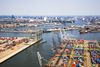
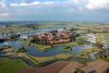
Facilities and equipment at the Port of Amsterdam
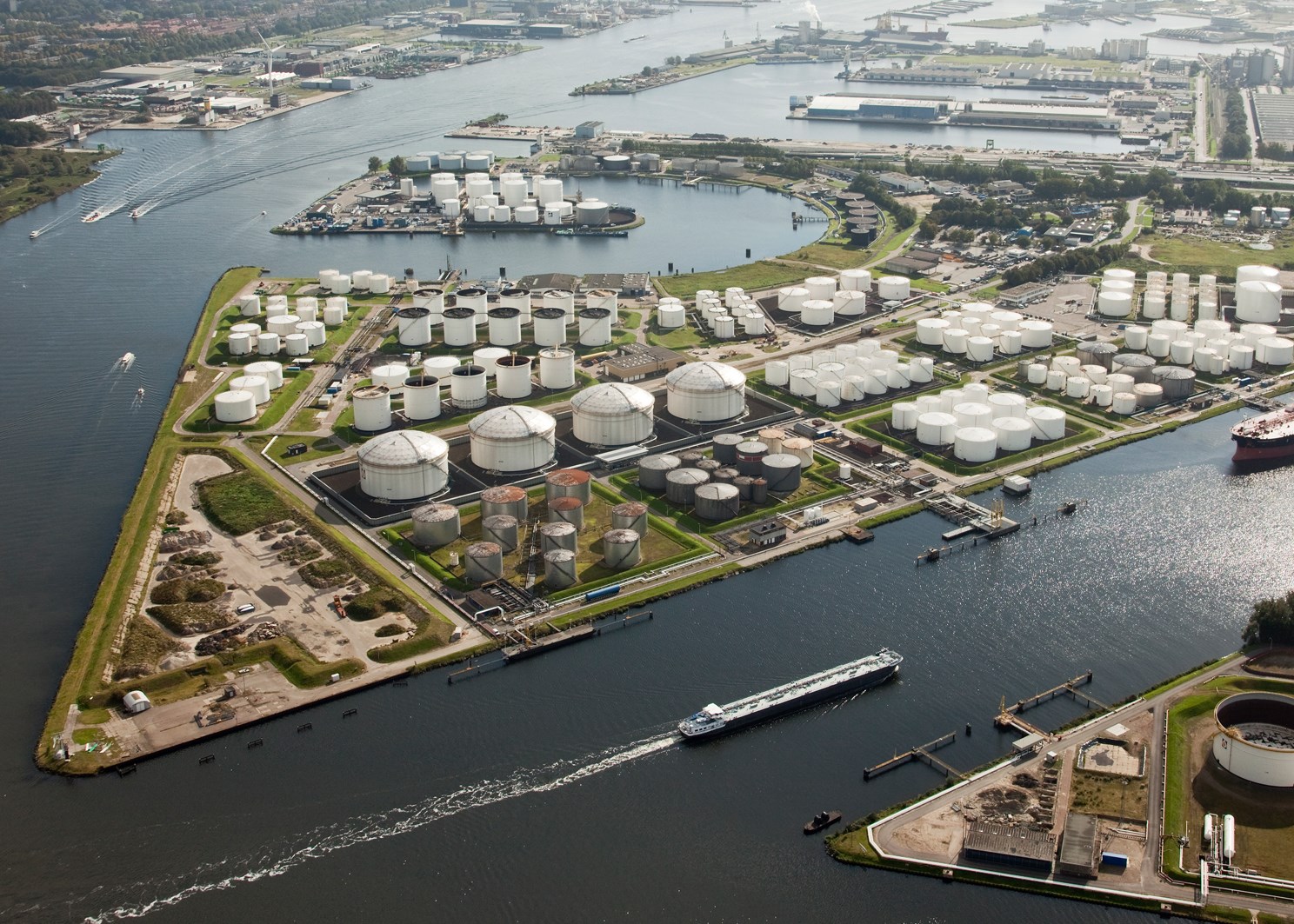
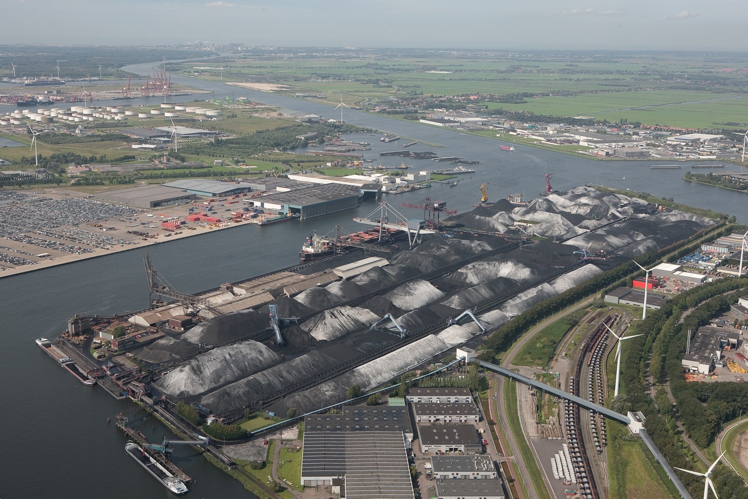
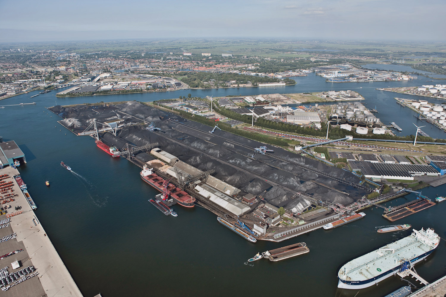
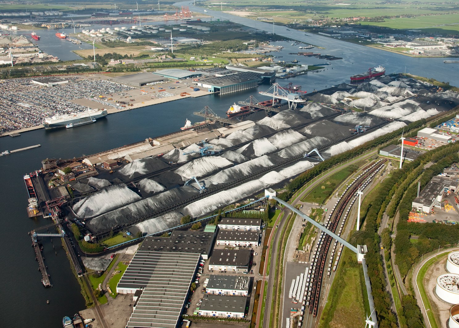
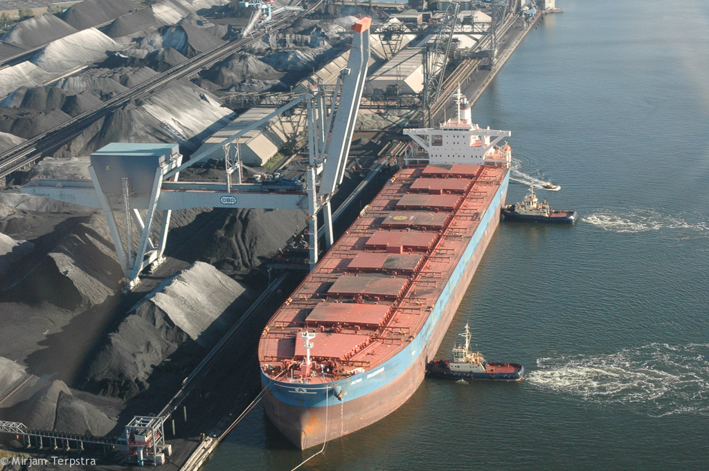
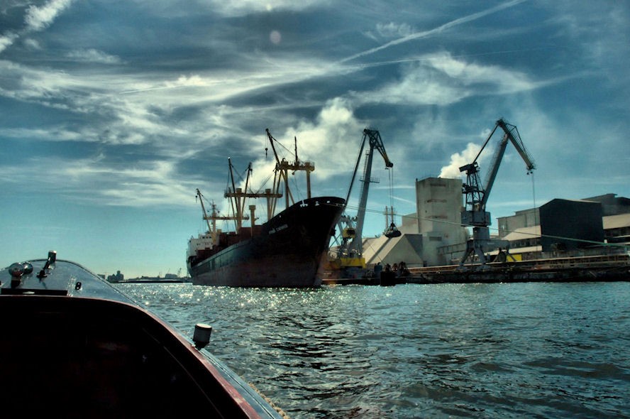
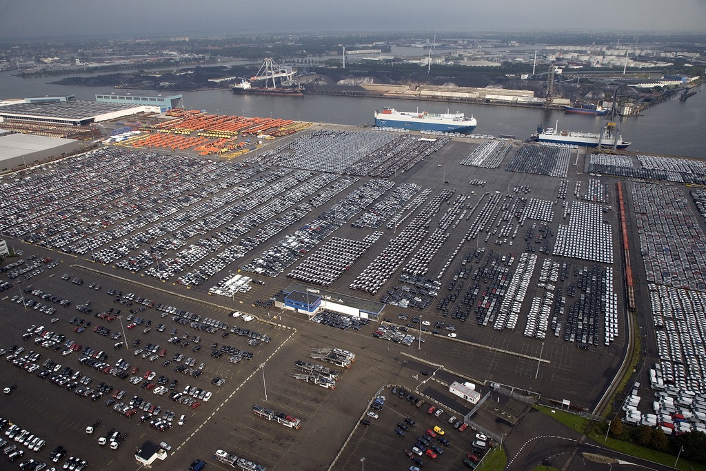
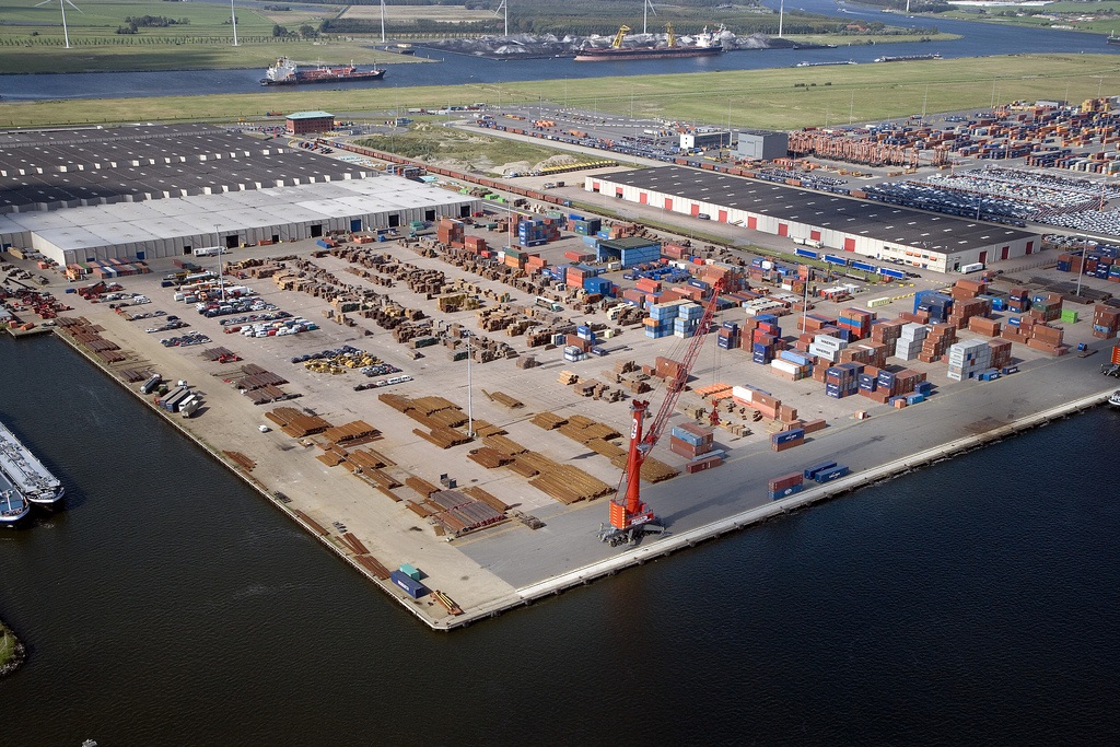
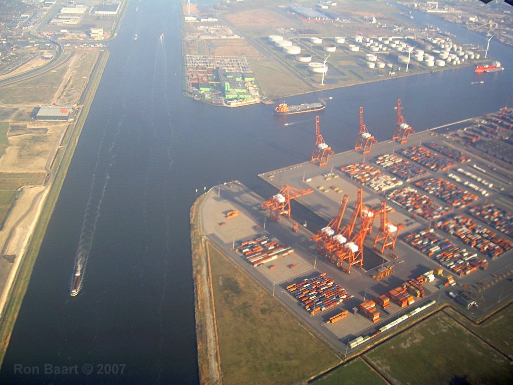
The Port of Amsterdam is a multifunctional port capable of handling, storing and shipping cargoes ranging from cocoa beans to coal, and from paper to oil. The port is served by three types of terminals for breakbulk, containers and energy.
The Koopman Car Terminal has a surface area of 350,000m2. Its maximum depth is 12m and quay length is 350m. Automotive stevedore and RO/RO activities are performed here.
The Amsterdam Marine Terminal handles containers, RO/RO and general cargo. Its quay length is 210m and maximum depth is 10.5m.
The Amsterdam Container Terminal has a total surface area of 620,000m2. Its quay length is 645m and maximum depth is 15.5m. The terminal is served by five 100mt gantry cranes.
The VCK Terminal, located in Suezhaven / Beringhaven, is an all round logistic service provider. It has a total surface area of 175,000m2 and is equipped with a 55t crane. The Waterland Terminal is also located in Westhaven. Its covered surface area is 77,500m2 and open area is 110,000m2. The terminal is equipped with three gantry cranes.
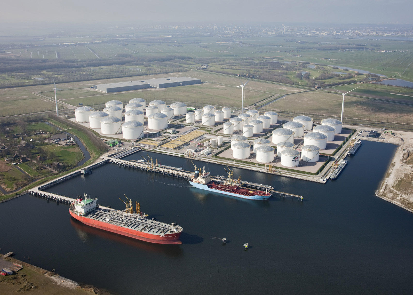
BP Amsterdam Terminal has a total surface area of 880,000m2 and maximum depth of 14.6m.
Operators at the major European port
The Koopman Car Terminal is operated by Koopman Logistics Group.
"The Port of Amsterdam is a tideless port located on the banks of the North Sea Canal and IJsselmeer."
The Amsterdam Container Terminals / Amsterdam Marine Terminals are operated by Amsterdam Container Terminals (ACT) BV.
Some other operators operating breakbulk terminals include Ter Haak Group, VCK Group and Waterland Terminal BV.
Operators of energy terminals include Overslag Bedrijf Amsterdam, Rietlanden Terminals, Oiltanking Amsterdam, Eurotank Amsterdam, NuStar Energy, Noord Europeese Wijnopslagbedrijf (NEWOB), Vopak, Westway Terminals, Tankstorage Amsterdam Greenmills, Vesta, Icova, Nuon and Afval Energie Bedrijf.
Future plans for the Port of Amsterdam
The port authority is planning to build a new sea lock to simplify access to the port region. For this purpose, a covenant was signed by the Government of Netherlands, Province of Noord-Holland and the city of Amsterdam in November 2009. The new lock is expected to be operational by 2016.
The Port of Amsterdam is the second largest port in the Netherlands.
The total land area of the port is 1,960ha.
The port aims to become one of the most sustainable ports in Europe.
The port handled 37.5 million tons of cargo in the first quarter of 2011.
The port is situated at a key junction of major international transport flows.
The port aims to double its transshipment business to 125 million tons in 2020.
The Port of Amsterdam is the number four sea port and number one petrol port in Europe.
http://www.ship-technology.com/projects/port-of-amsterdam/
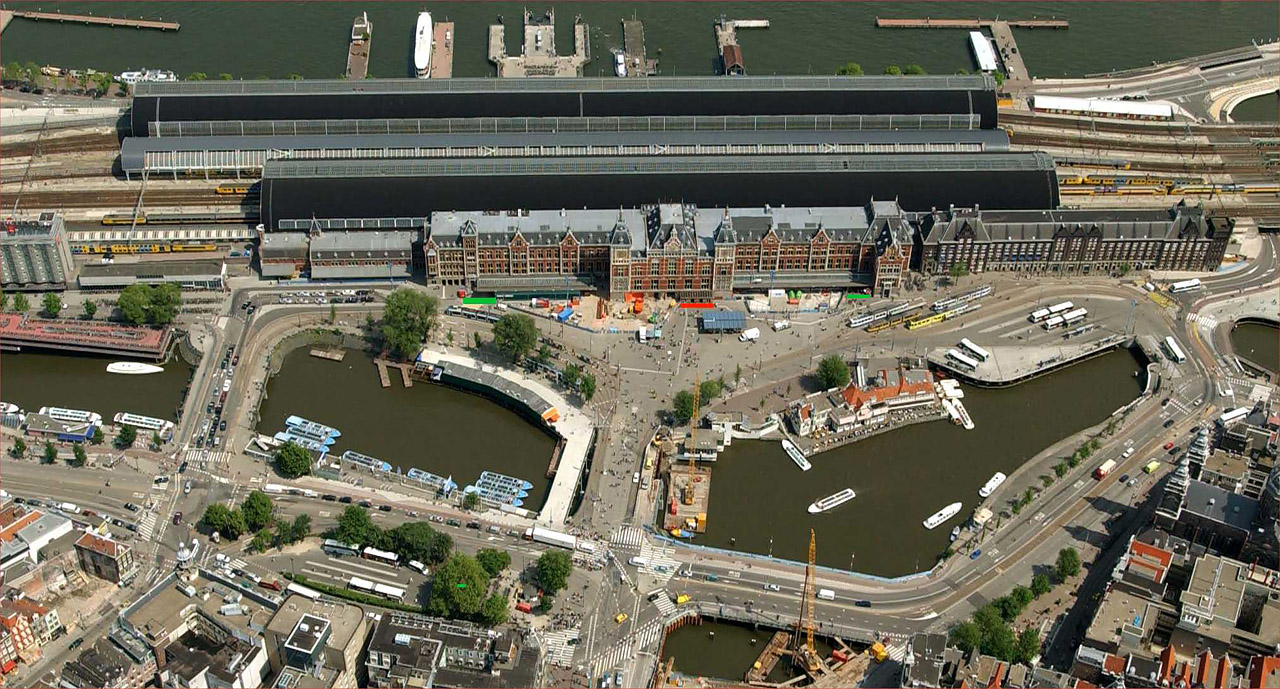
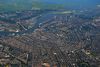
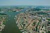
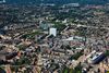
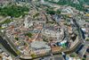
The Port of Amsterdam (Dutch: Haven van Amsterdam) is a seaport in Amsterdam, the Netherlands. The port is located on the bank of a former bay named the IJ and the North Sea Canal, with which it is connected to the North Sea. The port was first used in the 13th century and was one of the main ports of the Dutch East India Company in the 17th century. Today, the Port of Amsterdam is the second largest port in the Netherlands, the largest being the Port of Rotterdam. In 2011, the Port of Amsterdam had a cargo throughput of 74.9 million tons, most of which was bulk cargo.[3]
History
The Harbour in Amsterdam (1630) by Hendrick Cornelisz Vroom
The first port activities in Amsterdam date back to the 13th century. The port was first mentioned in the year 1342, when the city of Amsterdam received city rights.[4]
In the Dutch Golden Age the port was one of the main harbours of the Dutch East India Company.[4]
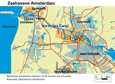
The North Holland Canal, that connects Amsterdam to Den Helder was dug between 1819 and 1824. The North Sea Canal, that connects Amsterdam to IJmuiden, was dug between 1865 and 1876.[4]
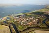
Geography
The Port of Amsterdam is located on the banks of the North Sea Canal and the IJ. The port is connected to the North Sea through the North Sea Canal, to Den Helder through the North Holland Canal, to the Markermeer through the IJ and the IJmeer, and to the Rhine through the Amsterdam-Rhine Canal.
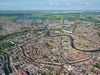
In total, the port comprises 620 ha (1,500 acres) of waterways and 1,995 ha (4,930 acres) of land area, including port estates, quays, roads, railway tracks, ditches, and green space.[2]
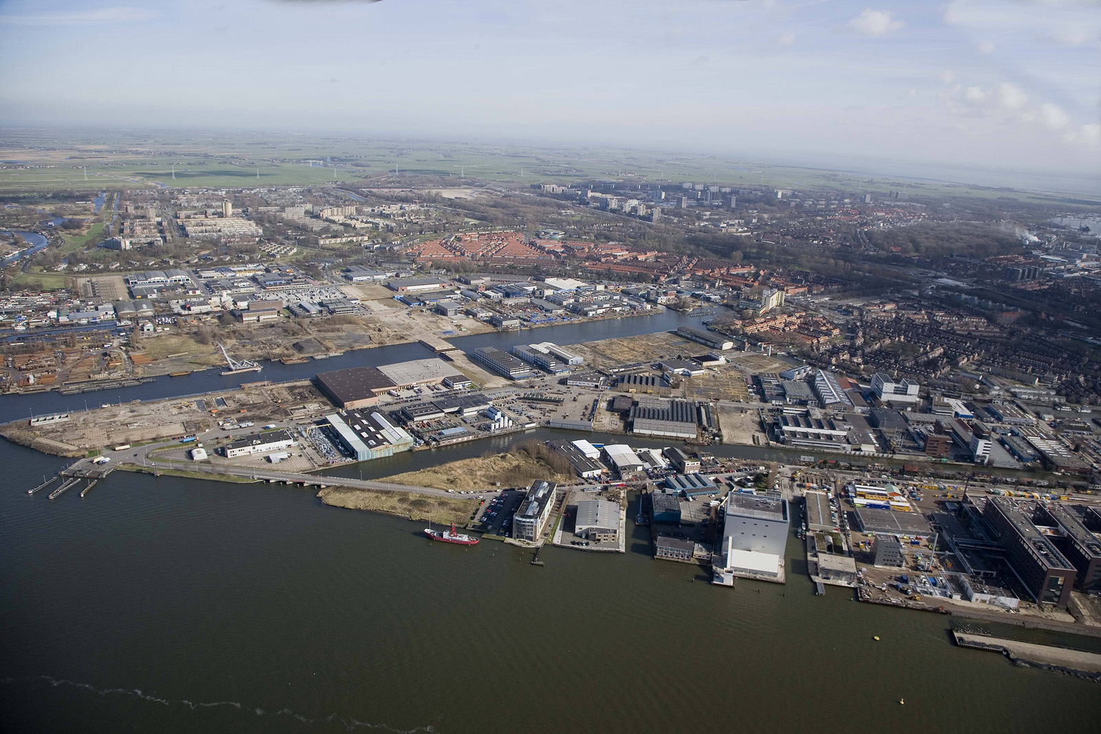
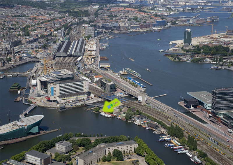
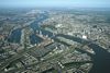
The port comprises several harbour areas, which are part of the boroughs (Dutch: stadsdelen) Westpoort, Westerpark, Centrum, and Zeeburg. From west to east the areas are:[5]
Afrika Harbour (Dutch: Afrikahaven)
Amerika Harbour (Dutch: Amerikahaven)
West Harbour (Dutch: Westhaven)
Jan van Riebeeck Harbour (Dutch: Jan van Riebeeckhaven)
Petroleum Harbour (Dutch: Petroleumhaven)
Coen Harbour (Dutch: Coenhaven)
Mercurius Harbour (Dutch: Mercuriushaven)
Hout Harbour (Dutch: Houthaven)
De Ruijter Quay (Dutch: De Ruijterkade)
Eastern Trade Quay (Dutch: Oostelijke Handelskade)
Eastern Harbour Area (Dutch: Oostelijk Havengebied)
http://en.wikipedia.org/wiki/Port_of_Amsterdam
http://nl.wikipedia.org/wiki/Haven_van_Amsterdam
http://www.ship-technology.com/projects/port-of-amsterdam/
http://www.flickr.com/photos/sailhavenamsterdam/tags/portofamsterdam/
http://www.flickr.com/photos/rogiernieuwendijk/tags/haven/

Vídeo:
Web recomendada: http://www.portofamsterdam.nl/
Contador: 5894
Inserción: 2014-01-30 14:28:33
Lugares a visitar en un radio de 100 km (en línea recta)


Mapa de los lugares a 100 km (en línea recta)
Mostrando Registros desde el 1 hasta el 0 de un total de 0
Visitas RSS |
Más visitados Basílica de San Marcos  149061 Catedral de Notre Dame (París)  137685 Torre de Pisa  128203 Monte Saint-Michel  97319 Presa de las Tres Gargantas  73657 |
Incorporaciones |
Comentarios Arq. Jaime Fuentes Flores  Torres Obispado EXTRAORDINARIO . FELICIDADES . Un Cordial saludo Directivos y Personal de ... hazola  Cúpula de la Roca gracias me... gera  Buenos Aires las mejores fotos de la mejor ciudad del... Daniel M. - BRASIL  San Francisco ... PEQUE  Presa Chicoasén SERA QUE ALGUIEN ME PUEDE DAR MAS INFORMACIÓN DE ESTE PROYECTO ESTUDIO EN LA UNACH Y ES PARA UN... |