Nombre:
Puerto Klang
Otro:
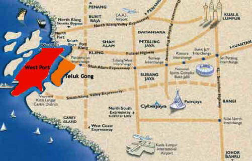
Localización:
Ver mapa más grande
Tipo: Puertos
Categoría:
Foto:
Voto:
Continente: Asia
País: Malasia
Localización: Klang
Año: 1901
Estado: Terminado
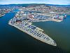
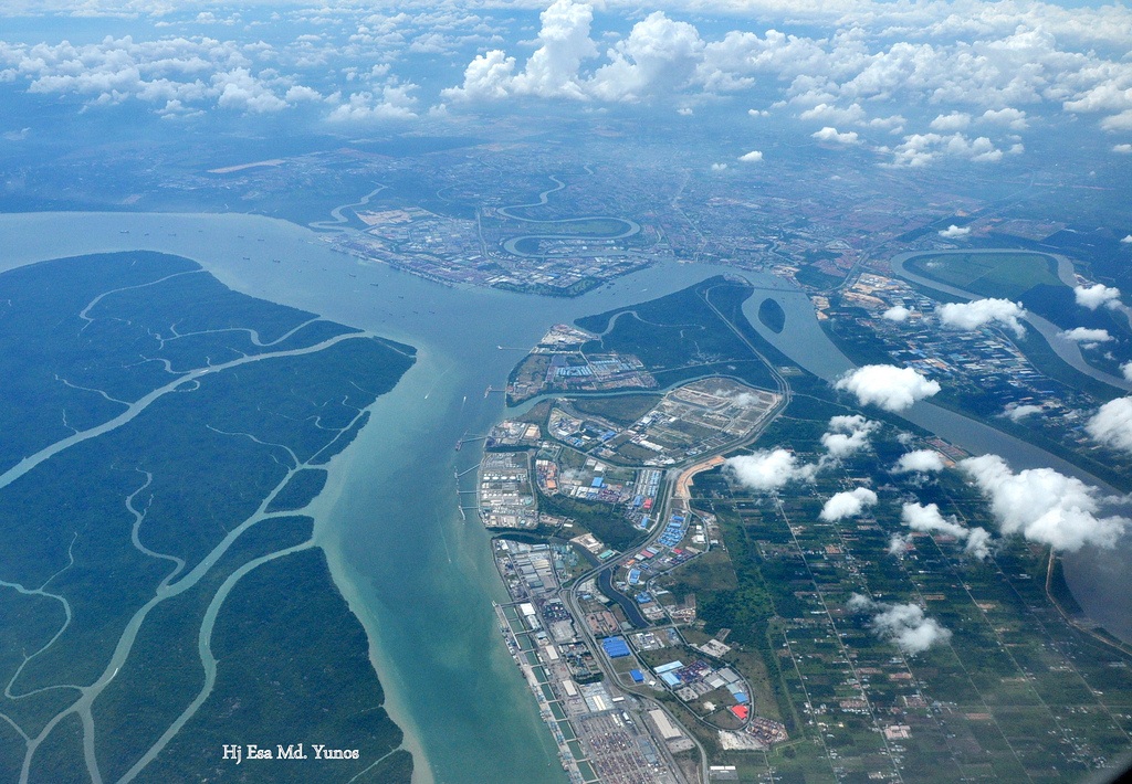
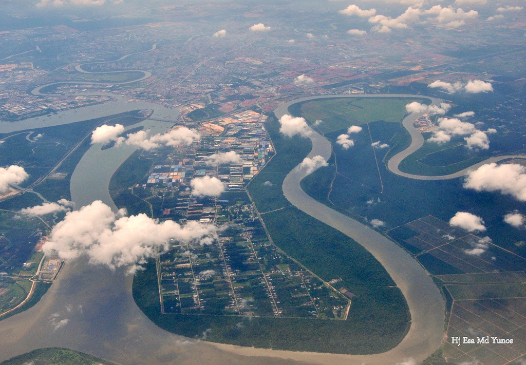
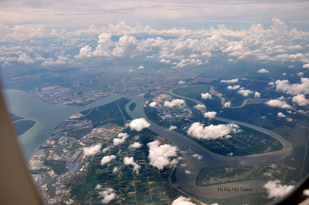
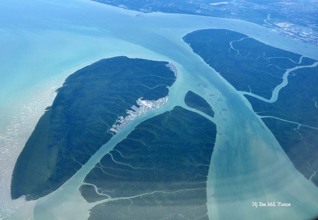
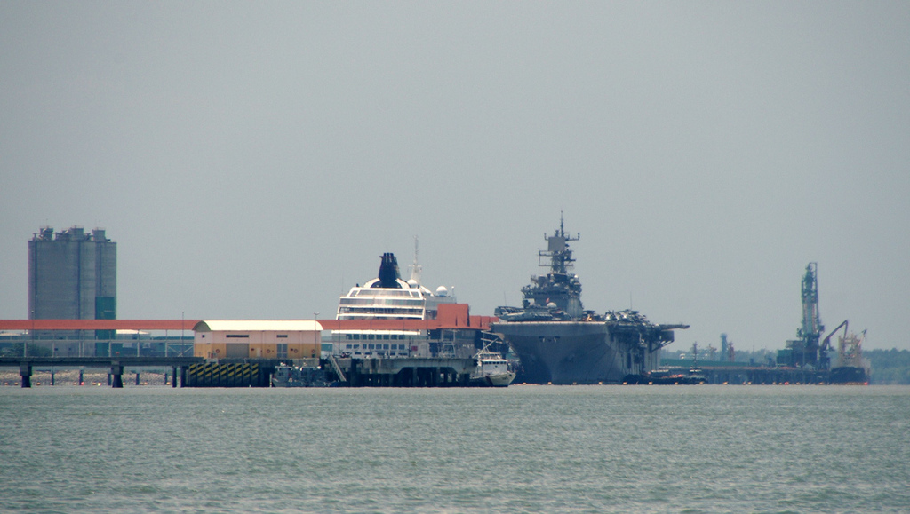
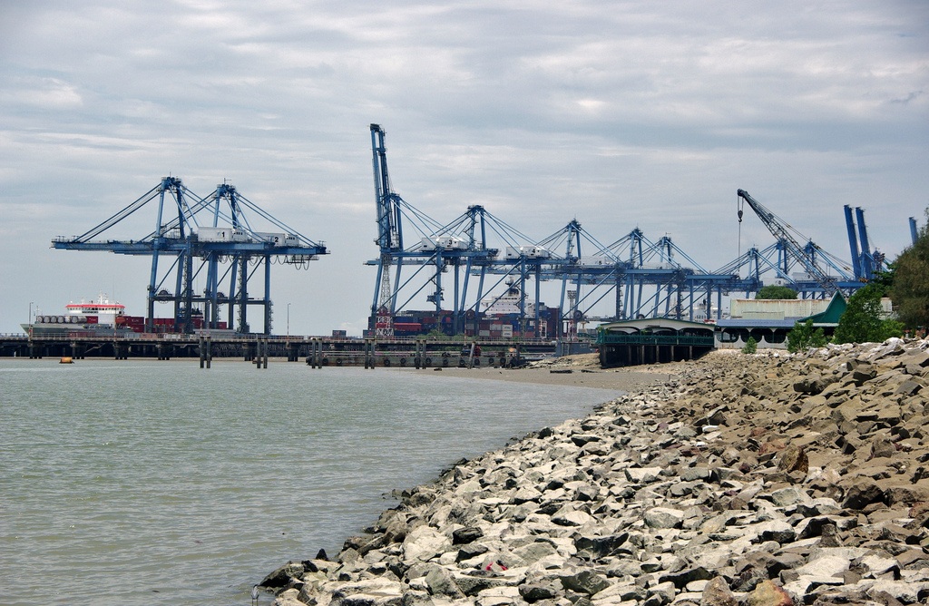
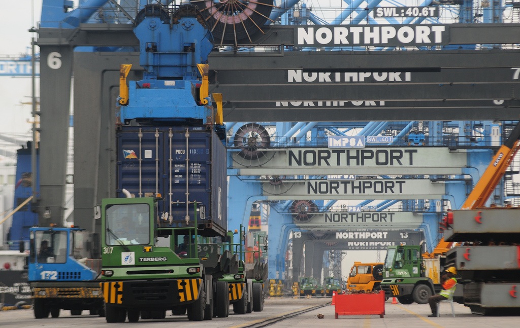
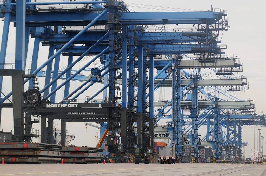
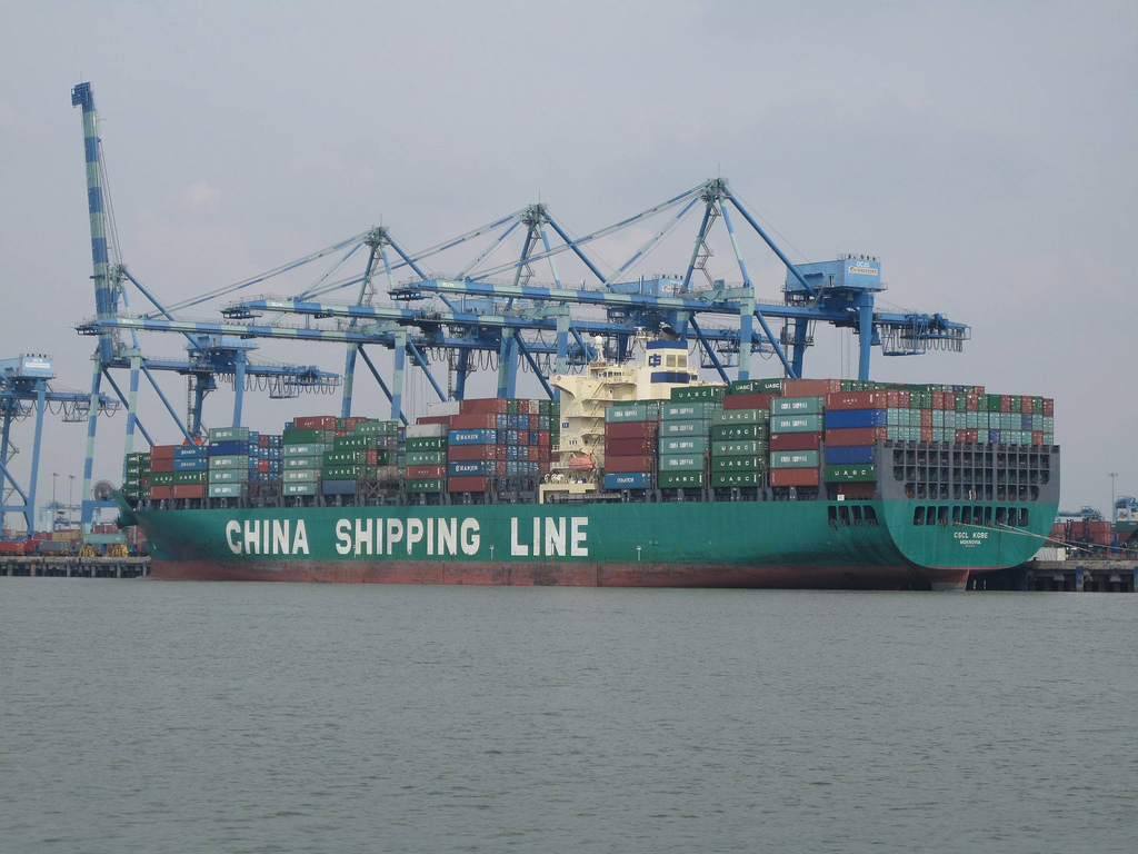
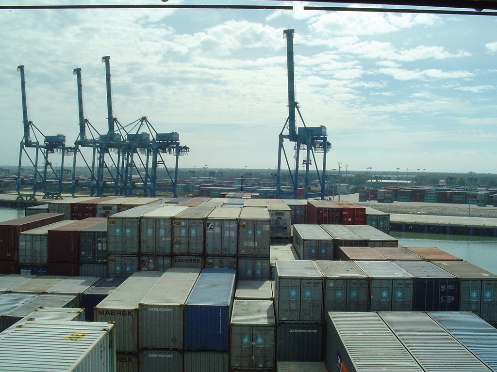
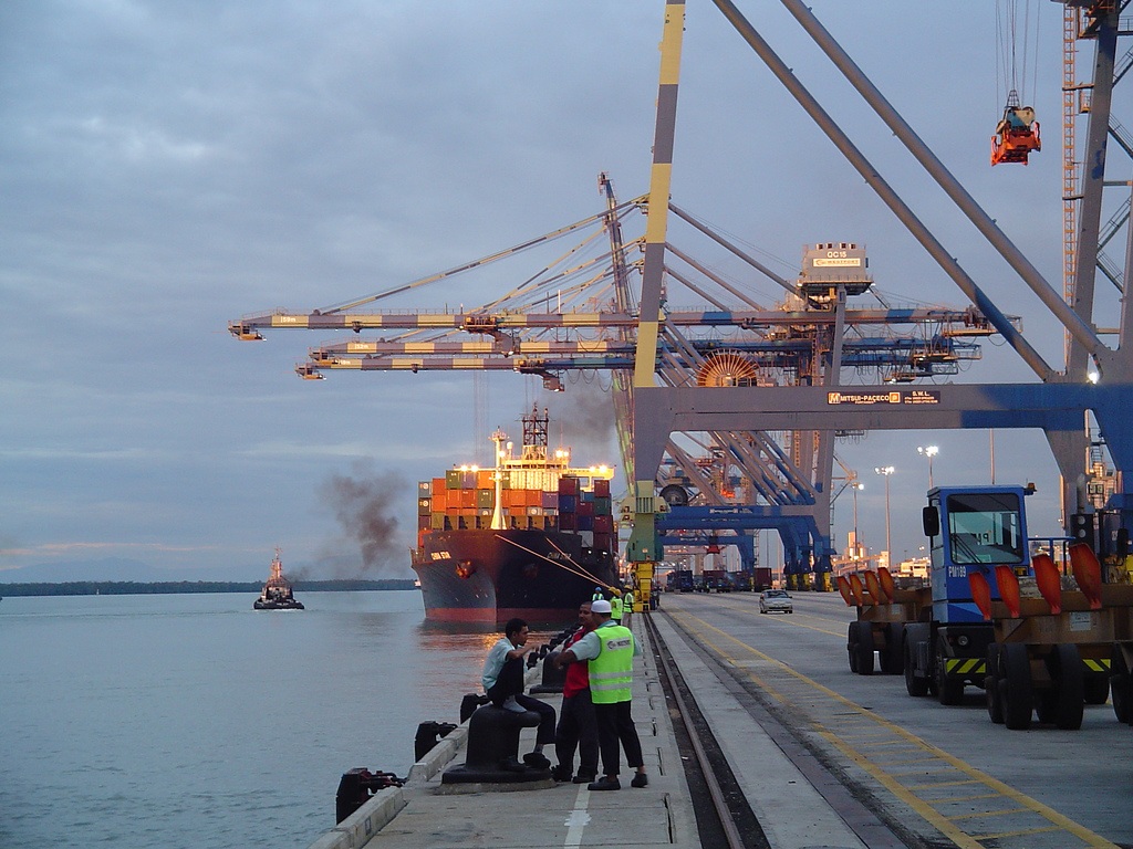
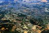
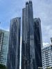
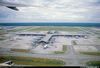
Descripción:Puerto Klan es una ciudad y el puerto mas grande de Malasia. Esta ubicado en el estrecho de Malaca a orillas del río Kelang. El puerto cuenta con excelentes facilidades portuarias, 11.701 metros de muelles distribuidos en 54 muelles de los cuales 12 son para la operación con carga en containers. El puerto cuenta con un total de 51 grúas pórtico y además con amplias capacidades para el almacenamiento.
http://marygerencia.com/puertos-maritimos/
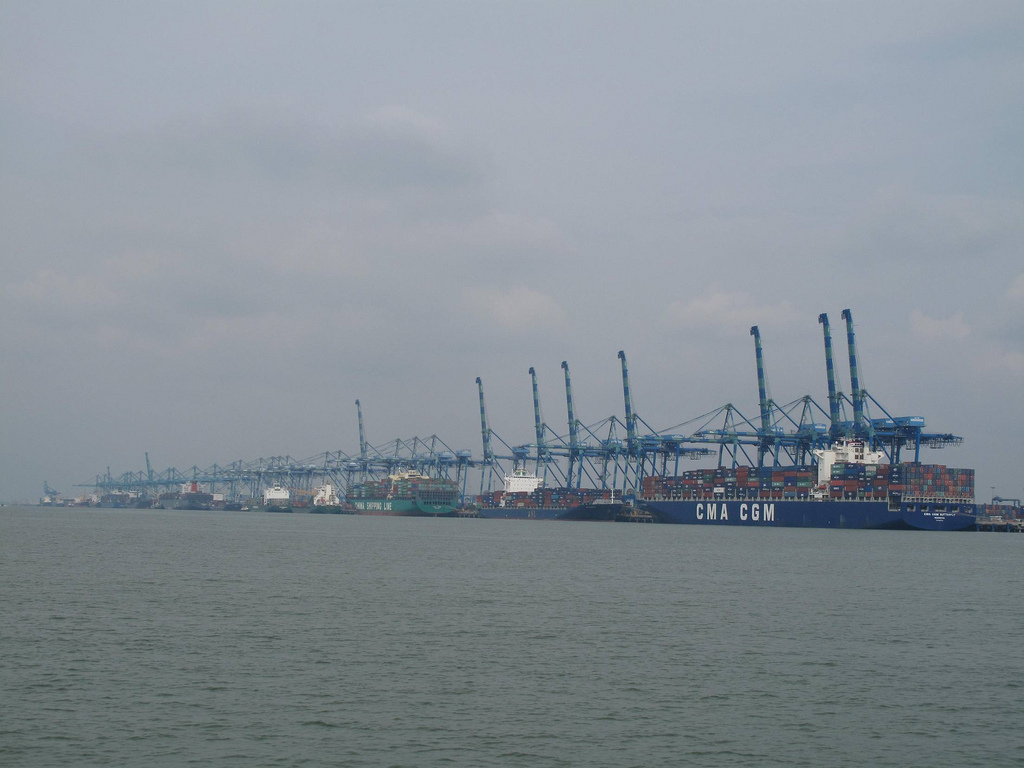
Port Klang is a town and the main gateway by sea into Malaysia.[2] Colonially known as Port Swettenham, it is also the location of the largest and busiest port in the country. As such, its economic progress has been greatly influenced by the port activities in its area. It is located about 6 kilometres (3.7 mi) southwest of the town of Klang, and 38 kilometres (24 mi) southwest of Kuala Lumpur.
Located in the District of Klang, it was the 13th busiest transshipment port (2004) and the 16th busiest container port (2007) in the world. It was also the 26th busiest port in by total cargo tonnage handled in 2005.
History
Klang was formerly the terminus of the government railway and the port of the State.[3] In 1880, the state capital of Selangor was moved from Klang to the more strategically advantageous Kuala Lumpur.[4] Rapid development at the new administrative centre in the late 1800s attracted businessmen and job seekers alike from Klang. At this time the only methods of transport between Klang and Kuala Lumpur were by horse or buffalo drawn wagons, or boat ride along the Klang River to Damansara. Due to this Frank Swettenham stated to Selangor's British Resident at the time, William Bloomfield Douglas,[5] that the journey to Kuala Lumpur was "rather long and boring".[6] He continued to suggest a train line be built as an alternative route.
In September 1882, Sir Frank Athelstane Swettenham was appointed Selangor’s new Resident. Swettenham initiated a rail link between Klang and Kuala Lumpur to overcome the transport problems particularly of the tin mining interests, who needed to convey the ore to Klang's port, Pelabuhan Batu.[7] Nineteen and a half miles of rail track from Kuala Lumpur to Bukit Kudu was opened in September 1886, and extended 3 miles to Klang in 1890.[8][9][10]
.[11][12] The river navigation, however, was difficult as only ships drawing less than 3.9 metres (13 ft) of water could come up the jetty, and thus a new port was selected near the mouth of the river as the anchorage was good. Developed by the Malayan Railway and officially opened 15 years later in 15 September 1901 by Swettenham himself, the new port was named Port Swettenham.
Under British rule
Both Klang and Port Swettenham were already known as notoriously malaria prone localities with the port itself located on a mangrove swamp. Within two months of its opening, the port was closed due to an outbreak of malaria.[13][14] Just a few years before, Britain's Sir Ronald Ross proved in 1897 that malaria is transmitted by mosquitoes. Port Swettenham was the first colonial area to benefit from the discovery.[15] Swamps were filled in, jungle cleared, and surface water diverted to destroy mosquito breeding grounds and combat further disruption to port operations. The threat of malaria was removed completely by the end of the exercise. Trade grew rapidly and two new berths were added by 1914 along with other port facilities. The Selangor Polo Club was founded in Port Swettenham in 1902 but it moved to Kuala Lumpur in 1911.[16]
Between World Wars I and II the port experienced much growth and expansion, peaking in 1940 when tonnage rose to 550,000 tonnes. During the Second World War allied aircraft were serviced by RAF Servicing Commandos at airfields in Port Swettenham.[17] Its location is marked on a 1954 map by the United States Army. Much of the port's facilities that were damaged during the war were reconstructed. The port expanded to the south with permanent installations to handle more palm oil and latex, two increasingly important exports. Imports also grew tremendously and tonnage of cargo handled at the port far exceeded what was thought possible before the war.[18]
Post-independence
On 1 July 1963 the Malaysian government established the Port Swettenham Authority, which subsequently was changed to Port Klang Authority as a statutory corporation to take over the administration of Port Klang from the Malayan Railway Administration. In the late 1960s and 1970s new deepwater berths were constructed with wharves suitable for handling container as well as conventional cargoes. The Royal Selangor Yacht Club was first registered here as "Port Swettenham Yacht Club" in July 1969.[19] In November 1972, Prime Minister Tun Abdul Razak declared the container terminal open and in May 1974, construction of seven more berths for bulk cargo began and was completed in 1983. In October 1982, construction of the liquid bulk terminal in North Port was completed.
On 17 March 1986 the container terminal facilities operated by Port Klang Authority was privatised to Klang Container Terminal Berhad as part of the privatisation exercise of the government. In January 1988, construction work began on a new 800 feet (240 m) berth, as an alternative to the immediate development of West Port.[18] A government in directive 1993 has identified Port Klang to be developed into the National Load Centre. Port Klang has since grown and now establishes trade connections with over 120 countries and dealings with more than 500 ports around the world.[20]
http://en.wikipedia.org/wiki/Port_Klang
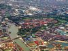
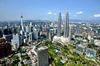
Klang (en chino 巴生), antiguamente conocida como Kelang, es una ciudad de Malasia, ex capital del estado de Selangor antes del acenso de Shah Alam, y actual capital distrital. Se encuentra en el distrito y el valle homónimos, a 32 km al occidente de Kuala Lumpur y a 66 km de Port Klang, en el estrecho de Malaca, el cual constituye el principal puerto regional después de Singapur. La ciudad está separada por el río en dos distritos, Norte y Sur, de los cuales el segundo concentra la mayor actividad comercial y social.
Etimología
Según una hipótesis popular la palabra viene del jemer "klong" o del antiguo significado de "kilang" en malayo, es decir 'depósitos' (en la actualidad significa 'fábricas').
El nombre de la ciudad está relacionado con el del río Klang, que la atraviesa proveniente de Kuala Lumpur para desembocar en Port Klang.
Historia
La ciudad real de Klang ha estado habitada desde tiempos prehistóricos. En la localidad y sus vecindades se han encontrado tambores de las edad de bronce y otro utensilios, lo cual se explica por su cercanía al mar y a un importante curso fluvial.
Tras la caída de Malaca bajo el dominio portugués en 1511, Klang permaneció bajo dominio malayo, primero dentro del sultanato de Johor y a parir del siglo XVIIIdel de Selangor.
En el siglo XIX su importancia creció gracias a la extracción de estaño debido al aumento de la demanda en Occidente. La lucha por el control del valle del Klang llevó a la Guerra civil de Selangor (o guerra de Klang) entre 1867 y 1874, entre los ejércitos liderados por Raja Mahdi y Raja Abdullah, que terminó con la intervención y el control británico del territorio.
En 1874 el Imperio británico erigió a la ciudad como centro de su administración. En 1880 la sede de las operaciones mineras fue transferida a Kuala Lumpur. Hasta la construcción de Port Klang (antiguo Port Swettenham) en 1901, la ciudad fue el principal punto de comercio regional de estaño, reforzando su posición con la construcción de la línea de ferrocarril en 1886. En los años 1890 su crecimiento se vio aún más estimulado por el comercio de café y caucho.
En 1901 se convirtió en la la sede del Sultan Sulaiman.
En 1945, se constituyó en ciudad, en 1954 se formó su concejo, con un área de 27,5 km². En 1971 se constituyó su concejo distrital, abarcando las localidades vecinas de Kapar y Meru. Entre 1974 y 1977 fue la capital estatal de Selangor, pues Kuala Lumpur se convirtió en el Territorio Federal. En 1977 se formó el concejo miunicipal, con un área de 60,9 km².
http://es.wikipedia.org/wiki/Klang_(Malasia)
http://www.flickr.com/photos/hjesamdyunos/sets/72157624323213173/with/4770915760/
http://www.skyscrapercity.com/showthread.php?t=331870
Vídeo:
Web recomendada: http://www.pka.gov.my/
Contador: 12555
Inserción: 2013-01-03 13:14:22
Lugares a visitar en un radio de 100 km (en línea recta)


Mapa de los lugares a 100 km (en línea recta)
Mostrando Registros desde el 1 hasta el 0 de un total de 0
Visitas RSS |
Más visitados Basílica de San Marcos  148999 Catedral de Notre Dame (París)  137616 Torre de Pisa  128169 Monte Saint-Michel  97285 Presa de las Tres Gargantas  73619 |
Incorporaciones |
Comentarios hazola  Cúpula de la Roca gracias me... gera  Buenos Aires las mejores fotos de la mejor ciudad del... Daniel M. - BRASIL  San Francisco ... PEQUE  Presa Chicoasén SERA QUE ALGUIEN ME PUEDE DAR MAS INFORMACIÓN DE ESTE PROYECTO ESTUDIO EN LA UNACH Y ES PARA UN... Mery  Huaca Pucllana Muy interesante, muy buena la información y... |