Nombre:
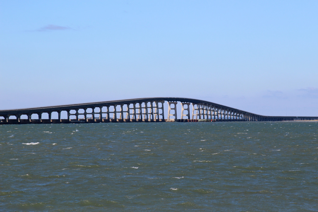
Puente Herbert C. Bonner
Otro: Oregon Inlet Bridge
Localización:
View Larger Map
Récord: 3921 m
Tipo: Puentes
Categoría:
Foto:
Voto:
Continente: América
País: Estados Unidos
Localización: Outer Banks, Carolina del Norte
Año: 1963
Estado: Terminado
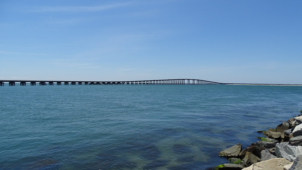
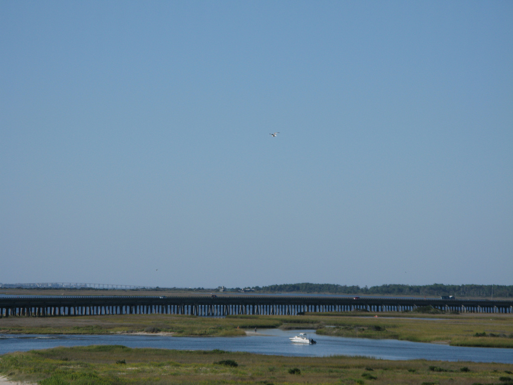
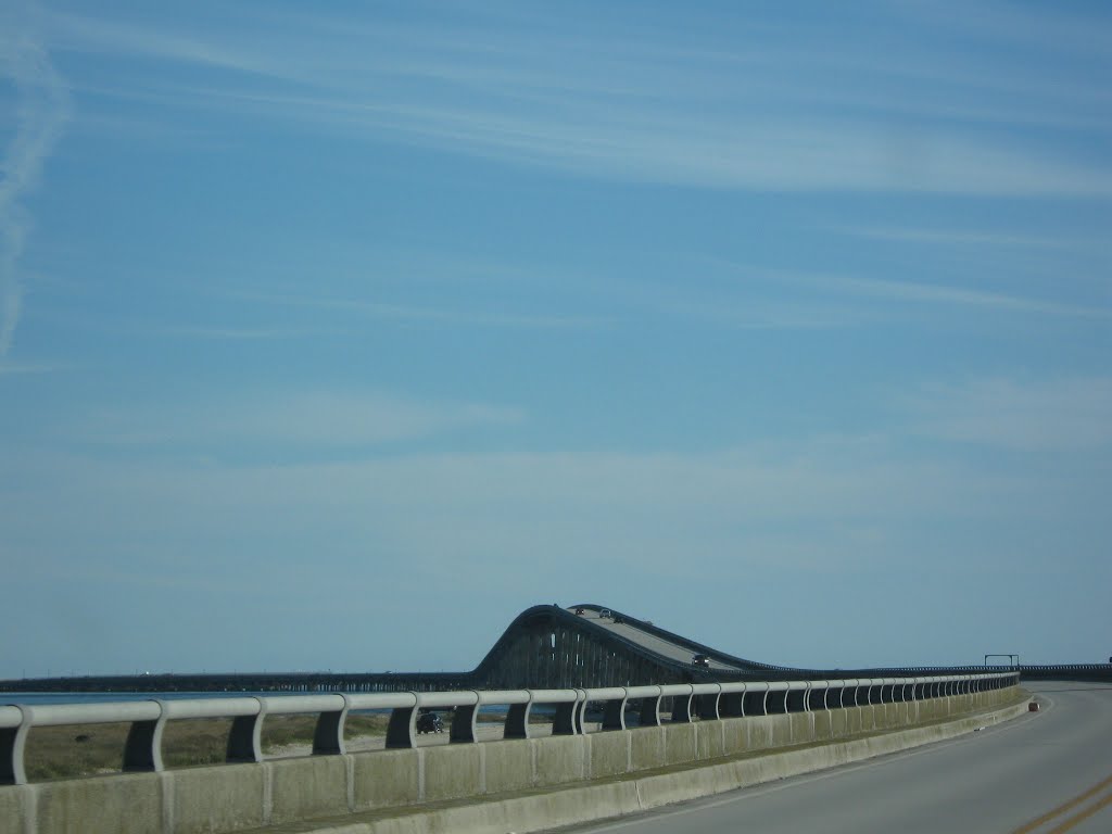
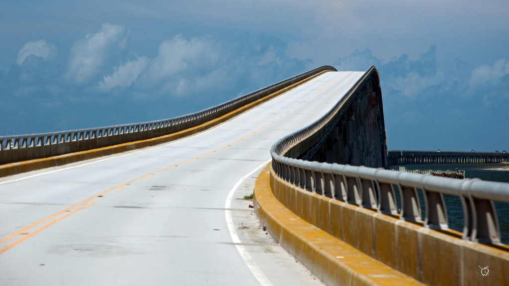
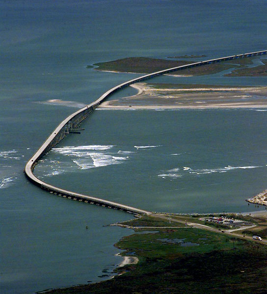
Descripción:The most spectacular and by far the most difficult to construct was the Bonner Bridge that connects the northern Outer Banks with Hatteras Island. A remarkable engineering feat when it was completed, it had a planned lifespan of 30-40 years–which it is clearly past at this point in time.
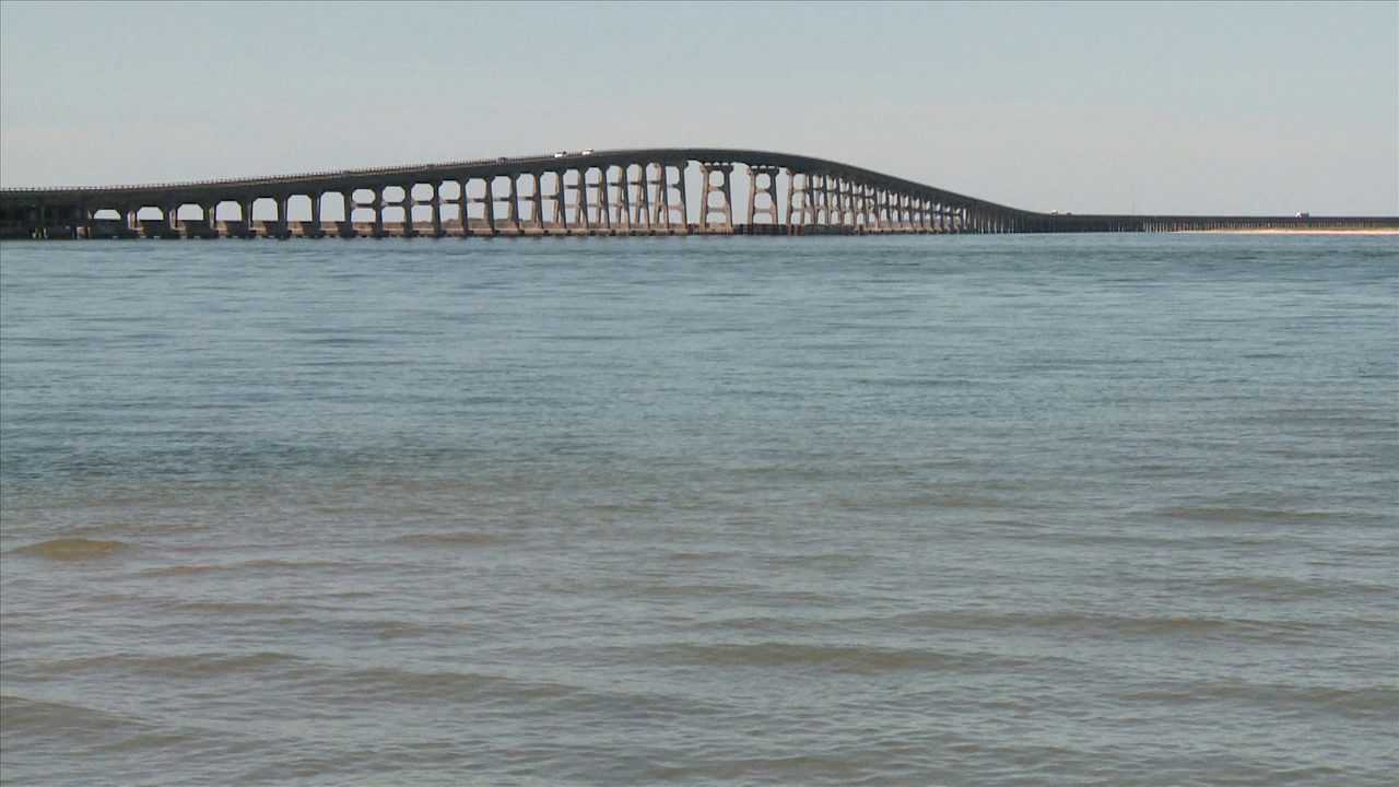
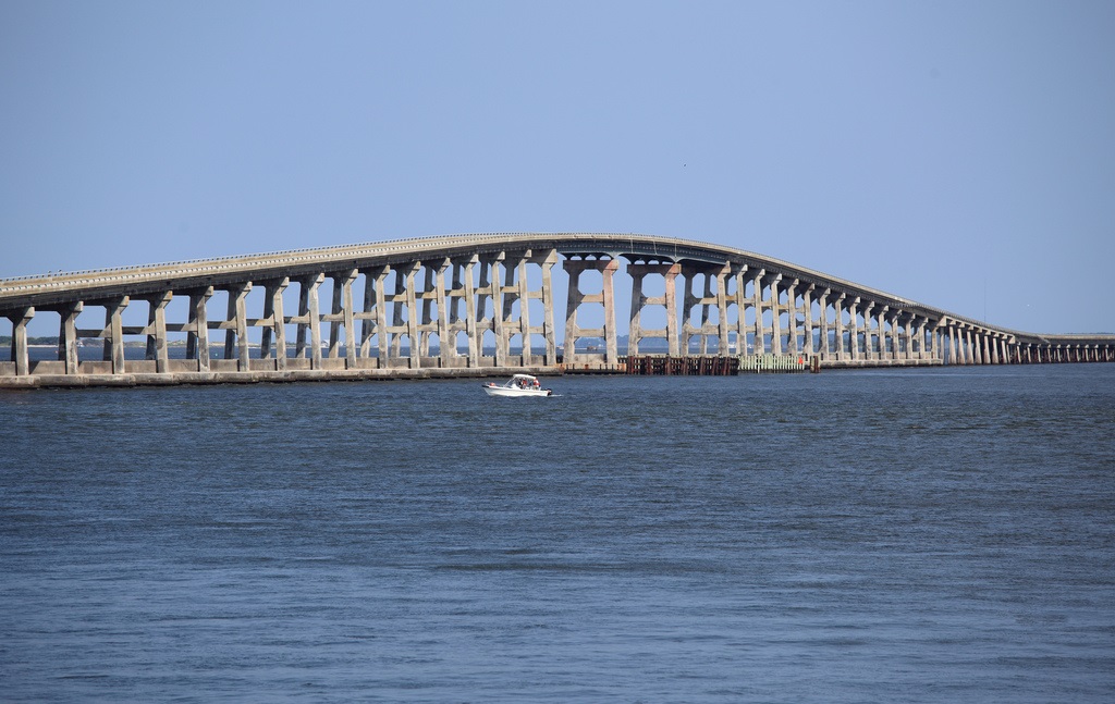
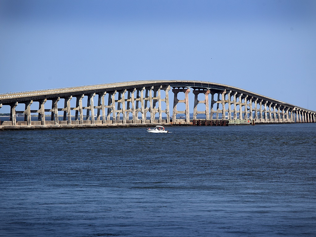
To their credit, NCDOT has done a remarkable job of keeping the bridge safe and operating, but it is becoming increasingly expensive and difficult to do so. A $215.8 million replacement project is ready to roll as soon as pending lawsuits are resolved.
In September of 2013, a summary judgment made against the Southern Environmental Law Center rejecting their contention that the selection process was flawed. This is a big step forward.
Not making the list is the Mid-Currituck Bridge, which has been in the planning stages for over 20 years. The bridge almost made it to the point of construction two years ago only to have the state legislature deny funding at the last moment.
http://www.carolinadesigns.com/blog/history-of-outer-banks-bridges/
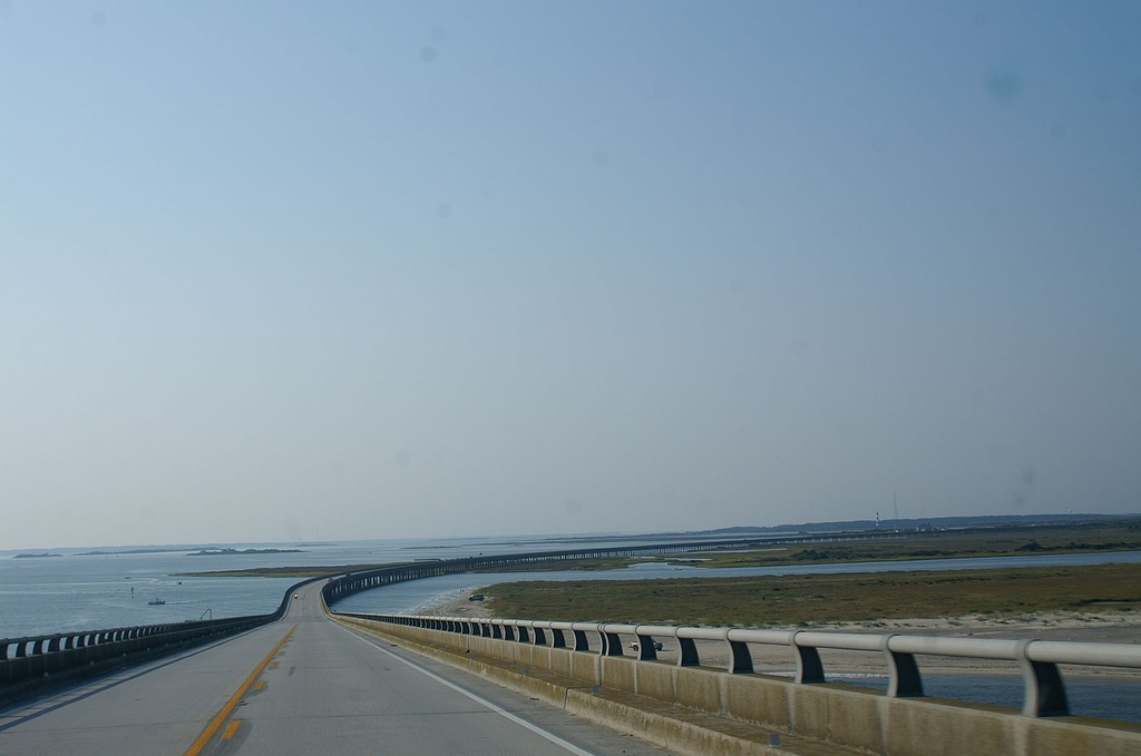
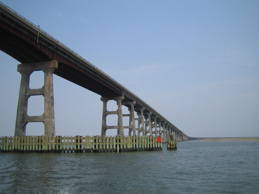
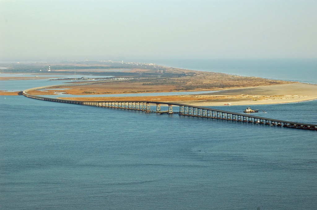
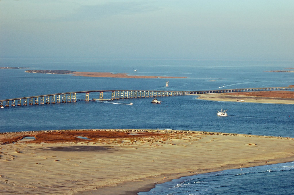
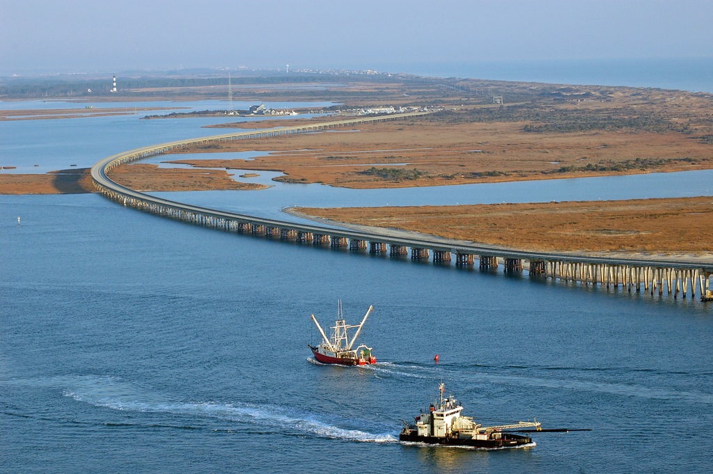
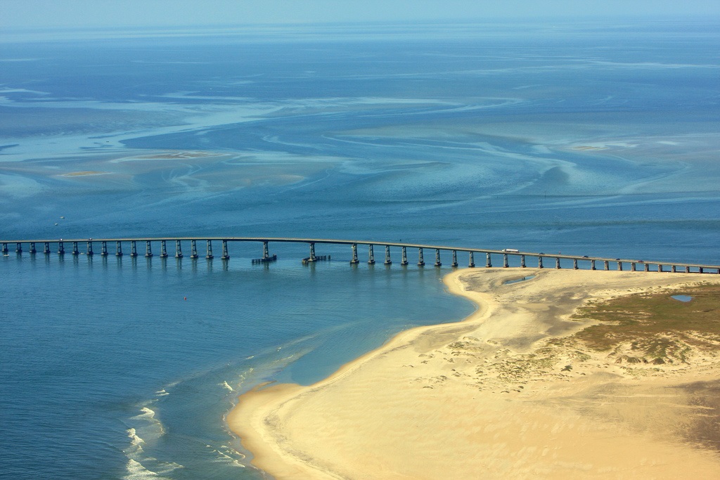
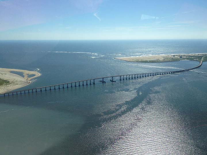
The Bonner Bridge on the Outer Banks of NC was built in 1963, designed to last for 30 years. A group of ”mothers” banded together to protest the lack of assurances for the safety of the bridge. This bridge has been studied for ten years, as the level of danger approached the federal standards for funding.
http://www.nutrientlogix.com/?p=841
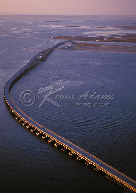
Herbert C. Bonner Bridge
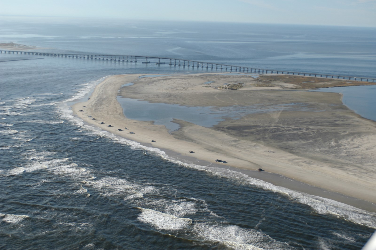
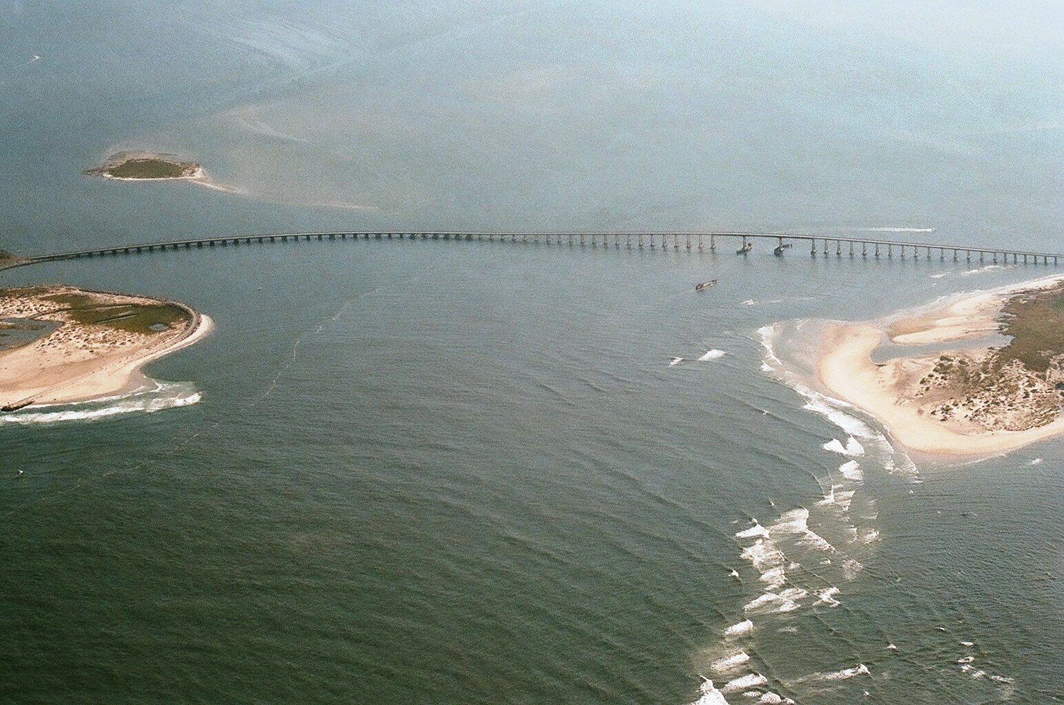
Oregon Inlet is spanned by North Carolina Route 12 over the Herbert C. Bonner Bridge, a 2.7-mile (4.3 km) bridge built in 1963.[2]
Prior to the building of the bridge, Hatteras Island was only accessible by air or ferry. Ferries could carry a maximum of 2,000 people per day.[3] The ferries cost the state $500,000 per year to operate, and there were very long lines waiting for the ferries during peak season.[3] The Bonner Bridge cost $4 million to build and moves up to 14,000 cars a day in both directions.[3] Of that amount, the state of North Carolina paid $1.5 million, and the federal government paid $2.5 million.[3] The arrangement for a portion of the state's cost to be paid by the National Park Service was arranged by Rep. Herbert C. Bonner, for whom the bridge is named.[3]
The environmental impact on the bridge and road was not fully understood at the time of construction, and now constant beach erosion, severe weather and high volume of traffic continually forces the state to protect the integrity of the road system. As much as $50 million was spent between 1987 and 1999 to repair and protect the Bonner Bridge and NC 12 from the ocean. The bridge was due for replacement by the early 1990s but construction on the new bridge has been continually held back by environmental lawsuits brought by the Southern Environmental Law Council.[4]
The Bonner Bridge was expected to have a thirty-year lifespan.[5] The bridge handles about 2 million cars per year,[6] and the state DOT ranks it a 4 on a scale of 1 to 100, with 100 being the safest.[2]
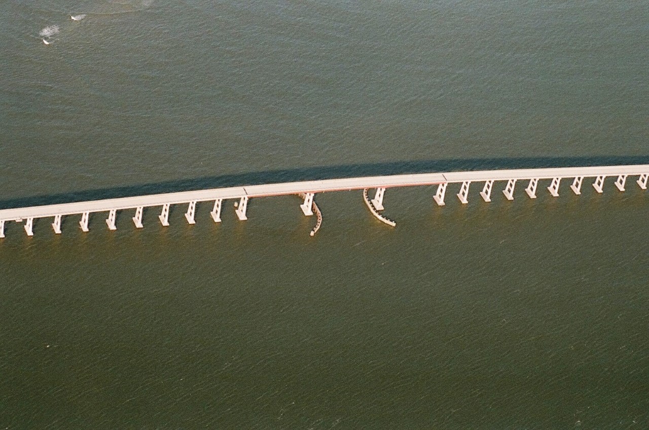
In October 1990, a dredge collided with the bridge during a storm, causing severe damage to several of the spans.[7] While isolated, Hatteras Island could only be accessed by boat or plane for many weeks while emergency construction was underway to replace its only highway link to the mainland.[8]
The Federal Highway Administration has approved the plan to replace the bridge over Oregon Inlet that connects with Pea Island and lies within the Cape Hatteras National Seashore.[6] The final alignment of the bridge has not yet been determined. Once a final alignment is chosen, construction of the new bridge, which will be longer and curve farther inland, will begin. It will cost approximately $1.3 billion and should by completed by 2014, although it is likely to be later.[9][10] On July 26, 2011 NCDOT awarded a $215.8 million contract to replace the bridge. In September 2013 the last of the legal obstacles were handled after a judge ruled in favor of the new bridge to be constructed. Construction was set to begin in early 2013 but was halted once again after an appeal was filed by the SELC. The new bridge should open to traffic in spring 2015 and the majority of the existing bridge will be demolished by 2016 (a portion will remain as a fishing pier).
http://en.wikipedia.org/wiki/Oregon_Inlet
https://www.flickr.com/photos/33896652@N00/2315813875
http://blog.outerbanksvacations.com/2011/02/25/obx-pic-o-the-day-classic-outer-banks-aerial-photos/
http://www.ncdot.gov/projects/bonnerbridgereplace/
http://hamptonroads.com/2014/03/official-bonner-bridge-replacement-fast-track
https://frogsview.wordpress.com/2011/11/11/oregon-inlet-bridge/
Vídeo:
Contador: 5677
Inserción: 2015-02-18 14:15:05
Lugares a visitar en un radio de 100 km (en línea recta)
Mapa de los lugares a 100 km (en línea recta)
Mostrando Registros desde el 1 hasta el 0 de un total de 0
Visitas |
Más visitados Basílica de San Marcos 155193 Catedral de Notre Dame (París) 144531 Torre de Pisa 131821 Monte Saint-Michel 100882 Presa de las Tres Gargantas 81834 |
Incorporaciones Flagstaff 65 Sioux Falls 145 Castillo de Duivenvoorde 89 Basílica de la Merced (Lima) 102 Presa de Ikehara 100 |
Comentarios Anya155Kl Forum 66 Hello friends! I came across a 155 valuable resource that I think you should check out. This... hazola Cúpula de la Roca gracias me... gera Buenos Aires las mejores fotos de la mejor ciudad del... Daniel M. - BRASIL San Francisco ... PEQUE Presa Chicoasén SERA QUE ALGUIEN ME PUEDE DAR MAS INFORMACIÓN DE ESTE PROYECTO ESTUDIO EN LA UNACH Y ES PARA UN... |
 Tweet
Tweet


