
Nombre:
Puente Astoria-Megler
Otro:
Localización:
View Larger Map
Récord: 6545 m
Tipo: Puentes
Categoría: Puente Voladizo
Foto:
Voto:
Continente: América
País: Estados Unidos
Localización: Astoria, Oregon
Año: 1966
Estado: Terminado
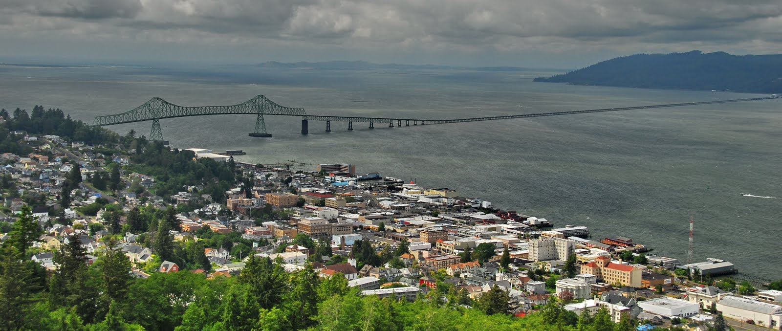
Descripción:Astoria-Megler Bridge
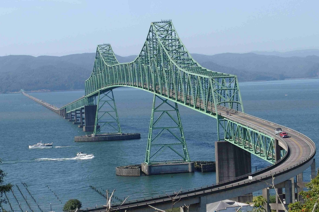
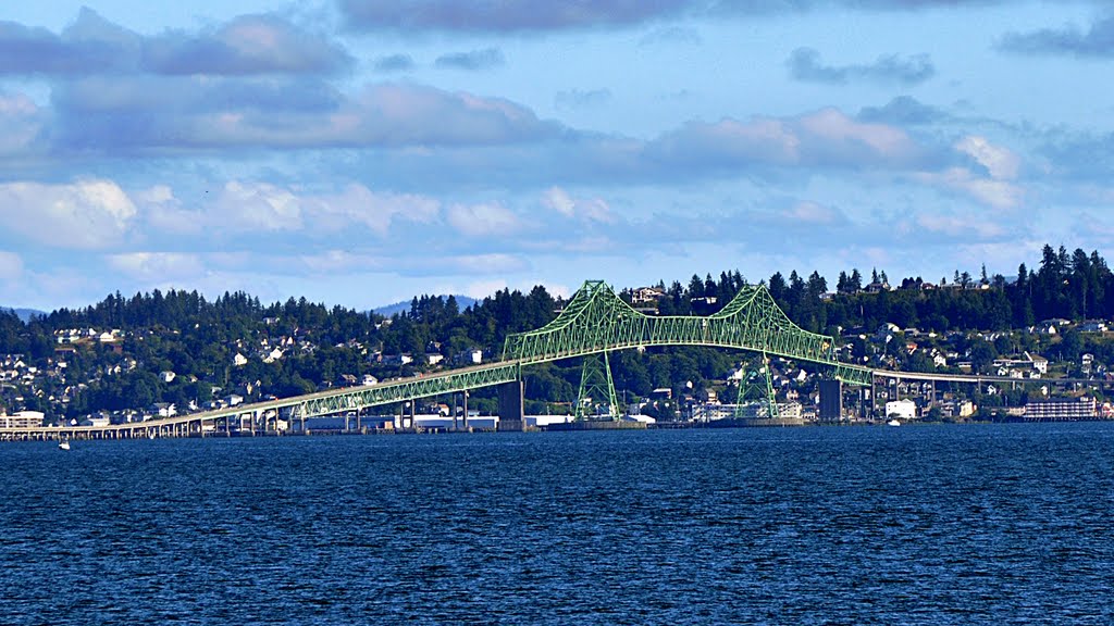
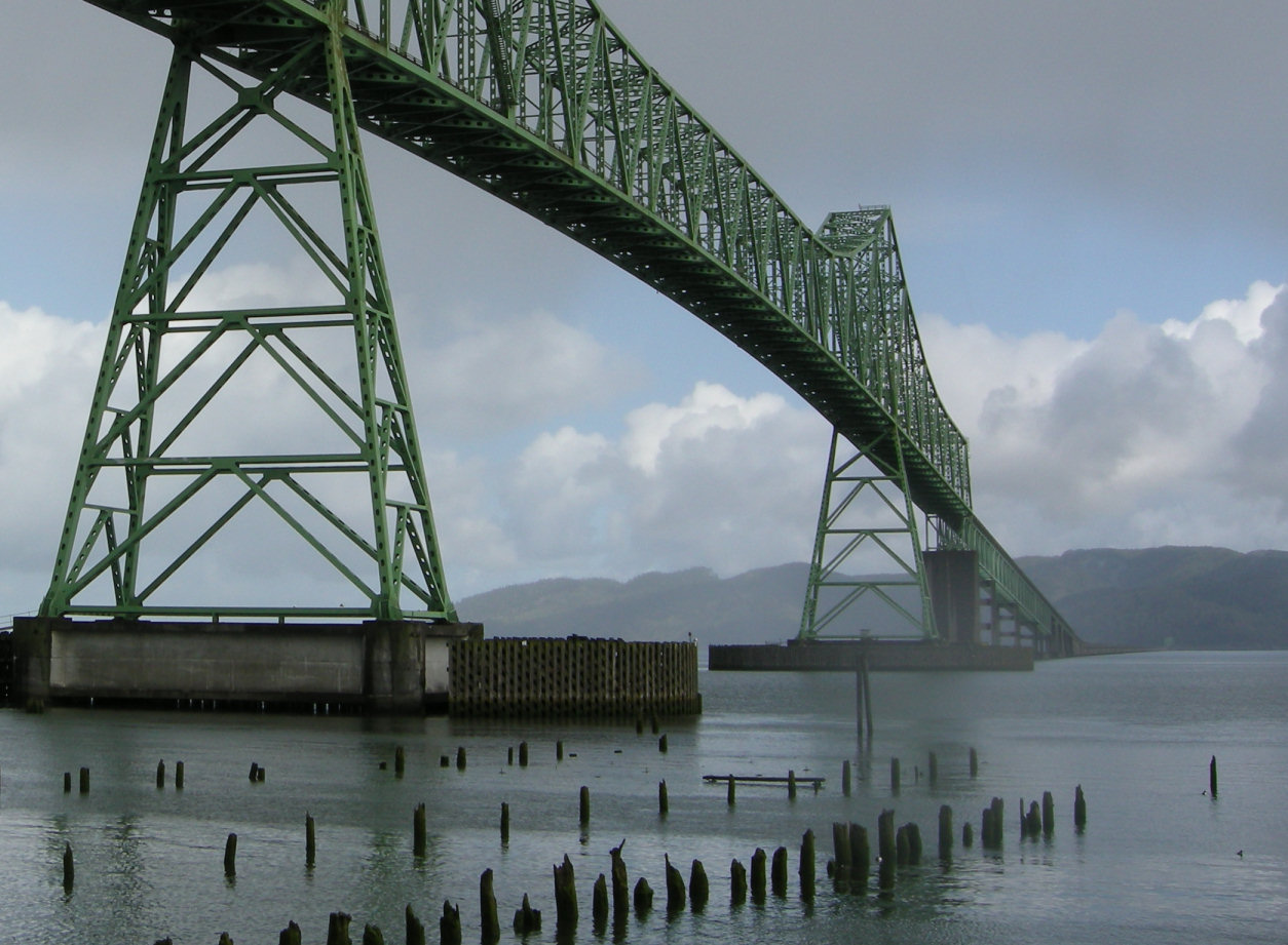
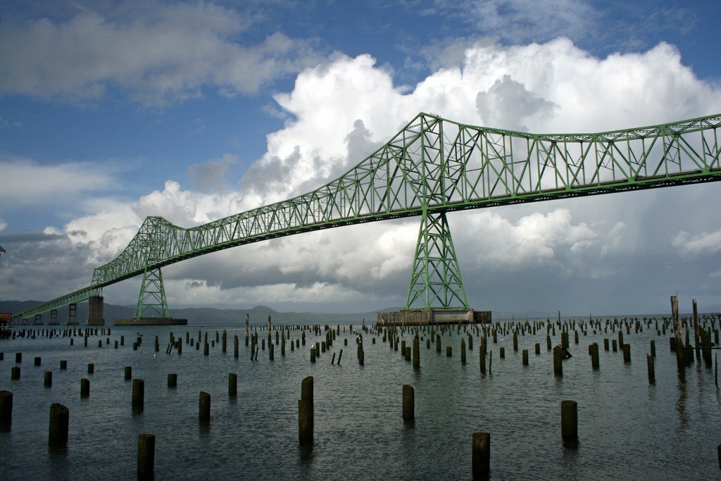
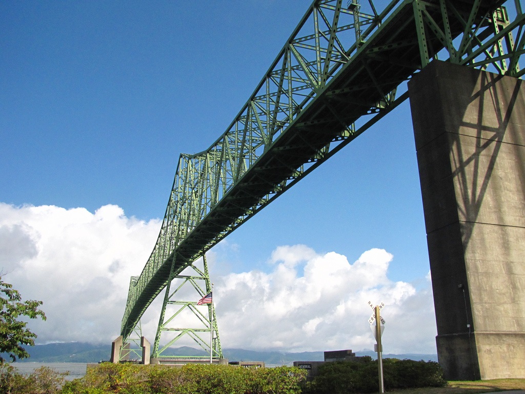
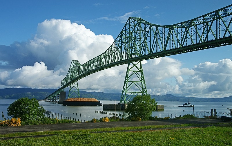
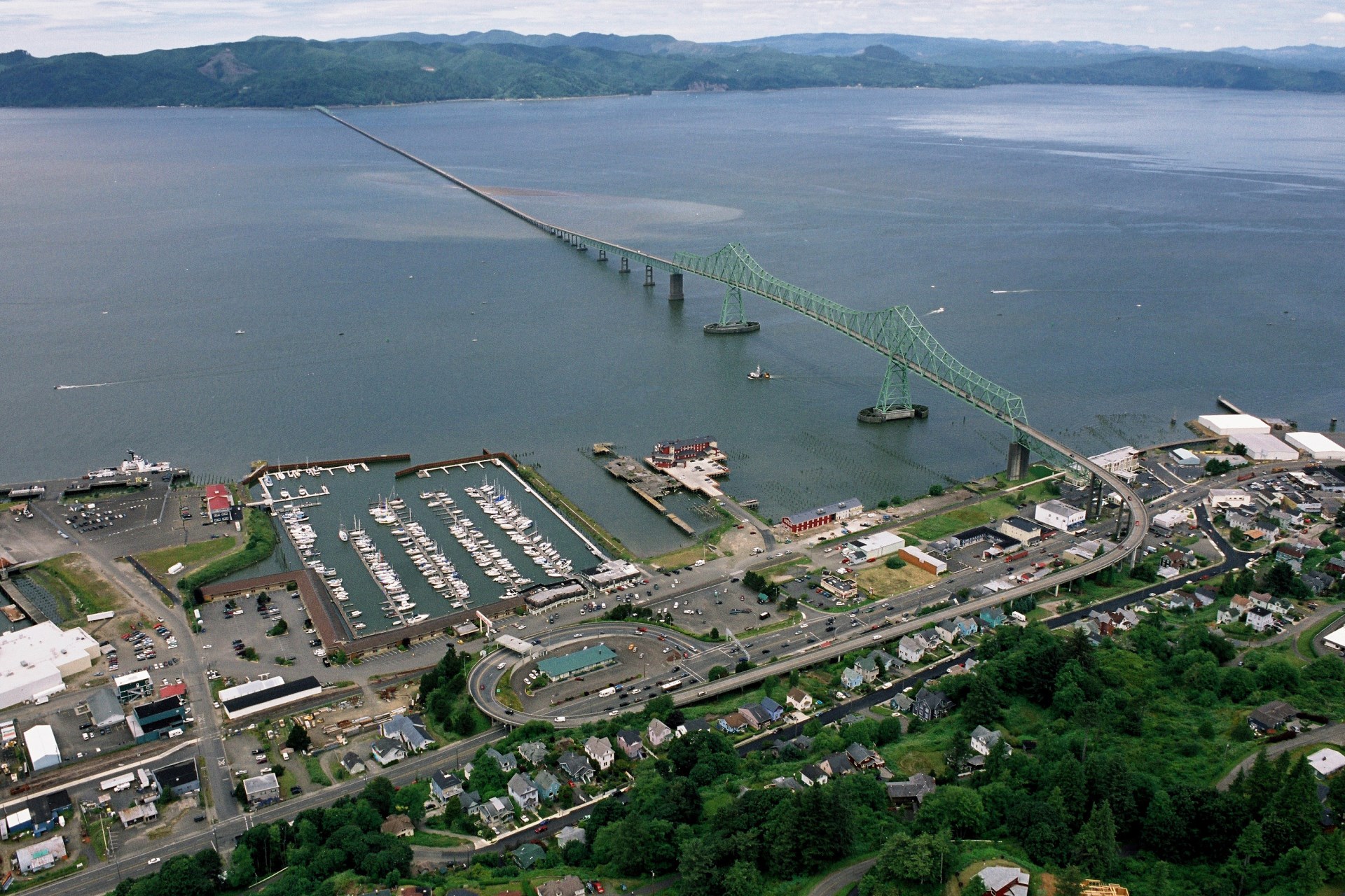
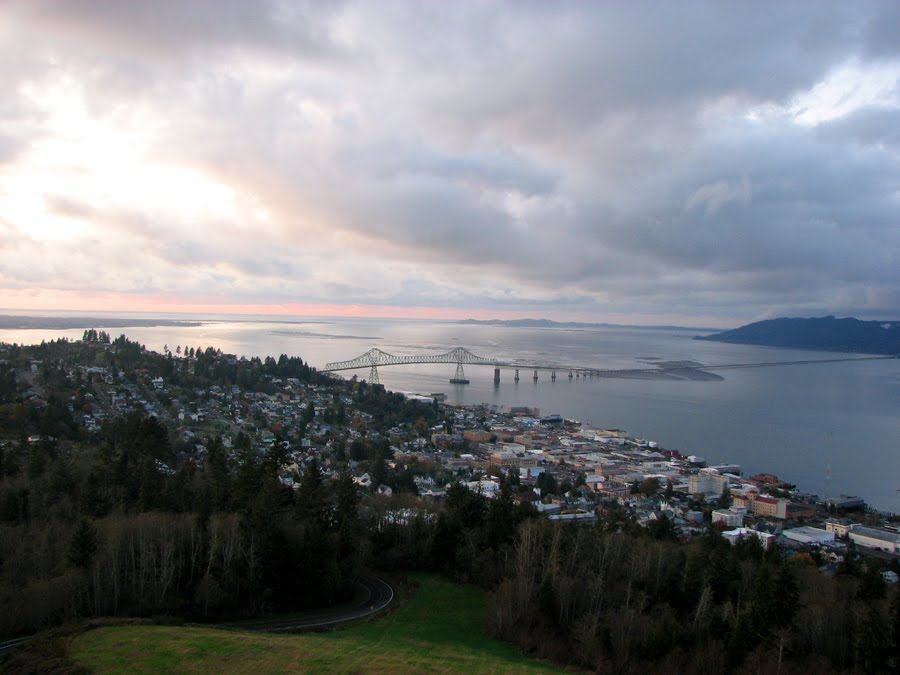
The Astoria-Megler Bridge, which was formally dedicated August 27, 1966, stretches 4.1 miles from Astoria, Oregon, across the mouth of the Columbia River, to Point Ellice, Washington. Its construction was an impressive feat. The bridge’s main span is 1,232 feet in length, the longest “continuous truss” in the nation.
North and South traffic across the mouth of the Columbia River was a problem for many years. In 1921 a scheduled ferry service from Astoria, to Megler on the Washington side, was established. The operation of the ferry system was taken over by the State of Oregon in 1946, with operational control being assigned to the State Highway Department.
For many years, the idea of a bridge across the Lower Columbia River simmered in people’s thoughts, and in 1961, Senator Dan Theil (of Astoria) successfully headed a crusade for the bridge, “a bridge,” critics said, “to nowhere.” On August 6, 1962, Oregon’s Governor, Mark O. Hatfield, turned the first shovel of dirt on the river bank in Astoria marking the official start of the project. Actual construction work began on November 5, 1962.
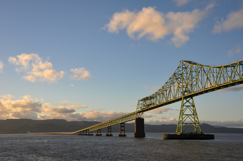
The Astoria approach utilizes pre-stressed concrete beam spans, set on concrete piers, located to avoid overloading the slide-prone Astoria hills. The approach ramp curves counter-clockwise through a full 360 degrees, climbing almost 200 feet above mean low water.
http://www.oldoregon.com/visitor-info/entry/astoria-megler-bridge/
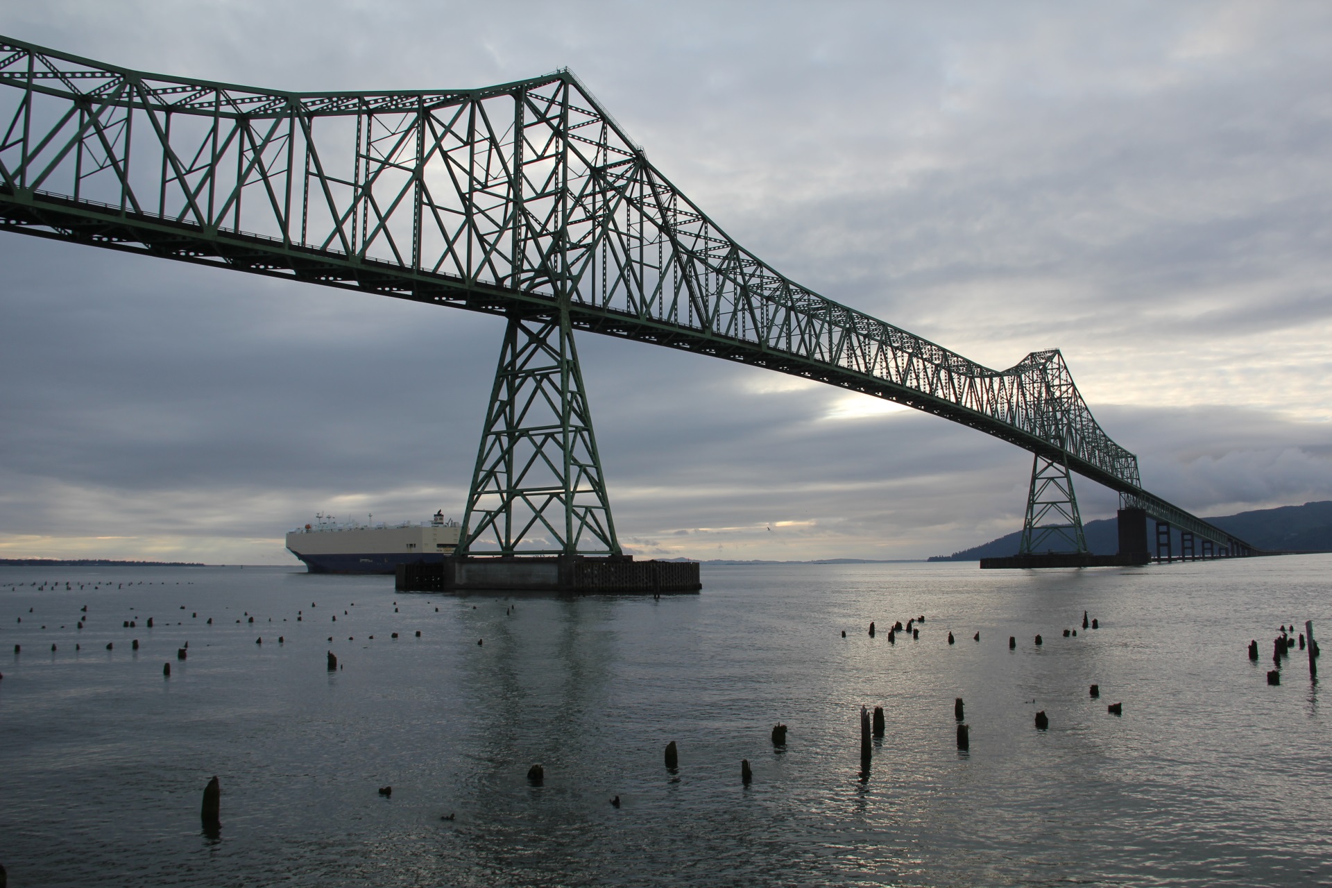
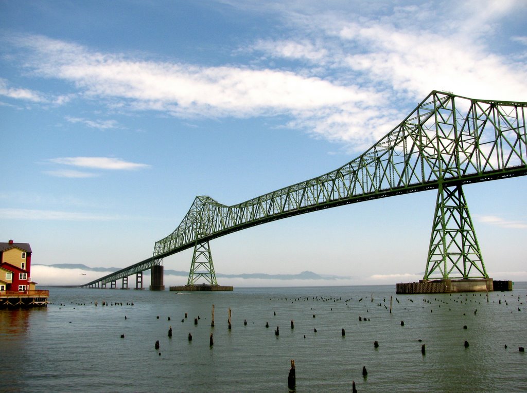
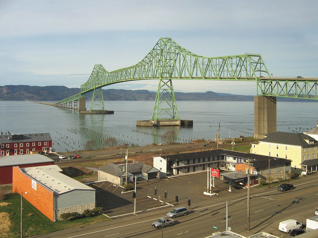
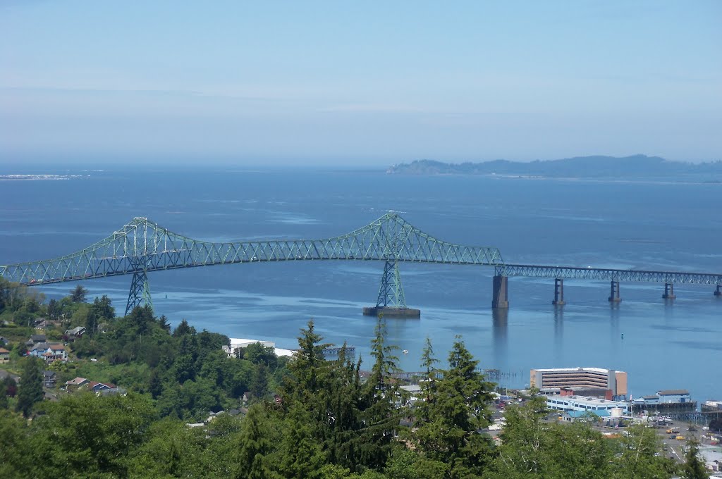
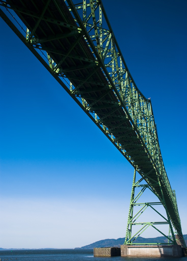
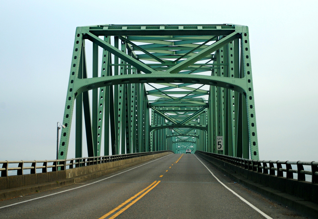
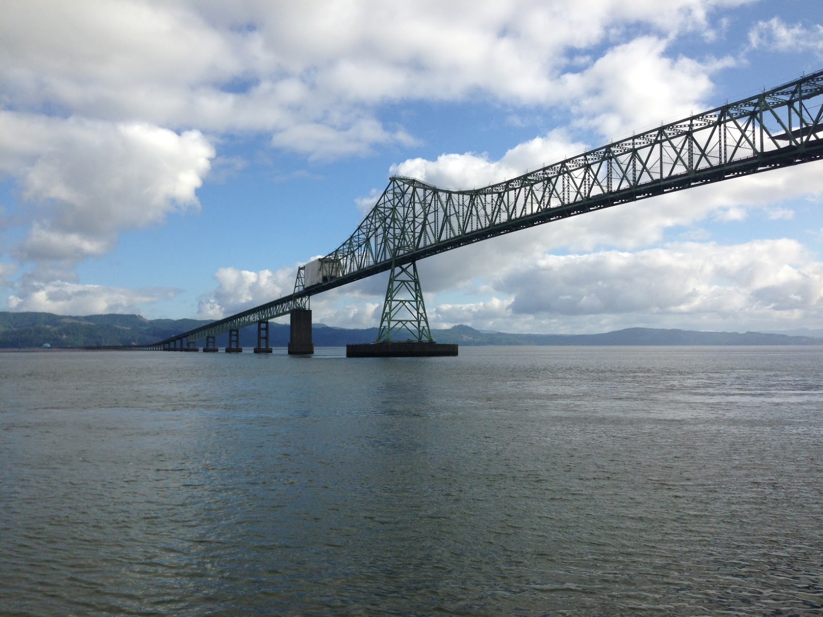
The Astoria–Megler Bridge is a steel cantilever through truss bridge that spans the Columbia River between Astoria, Oregon and Point Ellice near Megler, Washington, in the United States. Located 14 miles (23 km) from the mouth of the river, the bridge is 4.1 miles (6.6 km) long[3] and was the last completed segment of U.S. Route 101 between Olympia, Washington, and Los Angeles, California.[4] It is the longest continuous truss bridge in North America.
History
See also: Astoria–Megler Ferry
Ferry service between Astoria and the Washington side of the Columbia River began in 1926.[5] The Oregon Department of Transportation purchased the ferry service in 1946. This ferry service did not operate during inclement weather and the half-hour travel time caused delays. In order to allow faster and more reliable crossings near the mouth of the river, a bridge was planned. The bridge was built jointly by the Oregon Department of Transportation and Washington State Department of Transportation.[6]
Construction on the structure began on November 5, 1962. The concrete piers were cast at Tongue Point, 4 miles (6 km) upriver. The steel structure was built in segments at Vancouver, Washington, 90 miles (145 km) upriver, then barged downstream where hydraulic jacks lifted them into place. On August 27, 1966, with more than 30,000 people in attendance, Governors Mark Hatfield of Oregon and Dan Evans of Washington opened the bridge by cutting a ceremonial ribbon. The cost of the project was $24 million, equivalent to $173 million today,[7] and was paid for by tolls that were removed on December 24, 1993, more than two years early.[3]
http://en.wikipedia.org/wiki/Astoria-Megler_Bridge

Puentes cantiléver
Tienen especial aplicación en tramos muy largos. Reciben su nombre de los brazos voladizos (cantiléver) que se proyectan desde las pilas. Los brazos voladizos también pueden proyectarse hacia las orillas para sustentar los extremos de dos tramos suspendidos. Es posible realizar combinaciones variadas como las que incorpora el puente del Forth, ya que pueden utilizarse todos los sistemas de armaduras a excepción de la Howe. El principio del puente cantiléver puede aplicarse fácilmente a los puentes de armadura de acero y tablero superior. Existen viaductos de hormigón armado o de vigas armadas metálicas en cantiléver; puentes de armadura de hierro que combinan el principio cantiléver con el arco para formar el sistema conocido con el nombre de puente de arco cantiléver. El arco puede estar articulado en las pilas; en tal caso se asemeja a un puente de doble articulación, que puede convertirse en triple añadiendo otra articulación a la clave.
http://perso.wanadoo.es/tecno21/tipos/pontscantilever.htm
Vídeo:
Contador: 11511
Inserción: 2014-01-08 13:03:38
Lugares a visitar en un radio de 100 km (en línea recta)
Mapa de los lugares a 100 km (en línea recta)
Mostrando Registros desde el 1 hasta el 0 de un total de 0
Visitas RSS |
Más visitados Basílica de San Marcos  152832 Catedral de Notre Dame (París)  142158 Torre de Pisa  130046 Monte Saint-Michel  99296 Presa de las Tres Gargantas  79039 |
Incorporaciones |
Comentarios hazola  Cúpula de la Roca gracias me... gera  Buenos Aires las mejores fotos de la mejor ciudad del... Daniel M. - BRASIL  San Francisco ... PEQUE  Presa Chicoasén SERA QUE ALGUIEN ME PUEDE DAR MAS INFORMACIÓN DE ESTE PROYECTO ESTUDIO EN LA UNACH Y ES PARA UN... Mery  Huaca Pucllana Muy interesante, muy buena la información y... |


|
Foro |

|