Nombre:
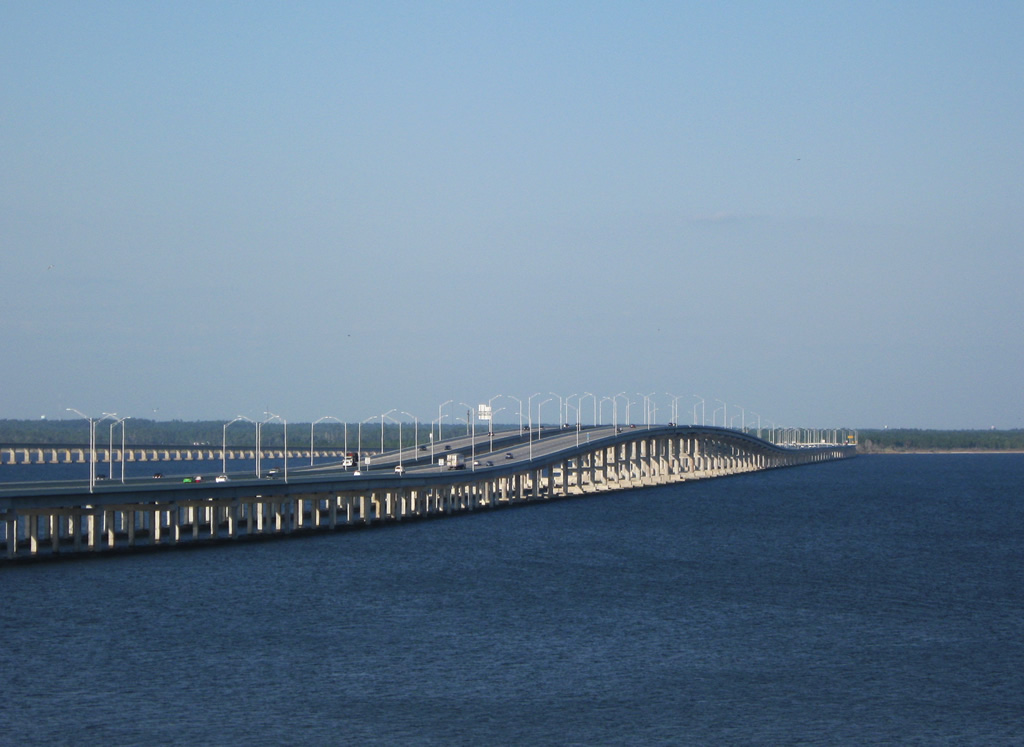
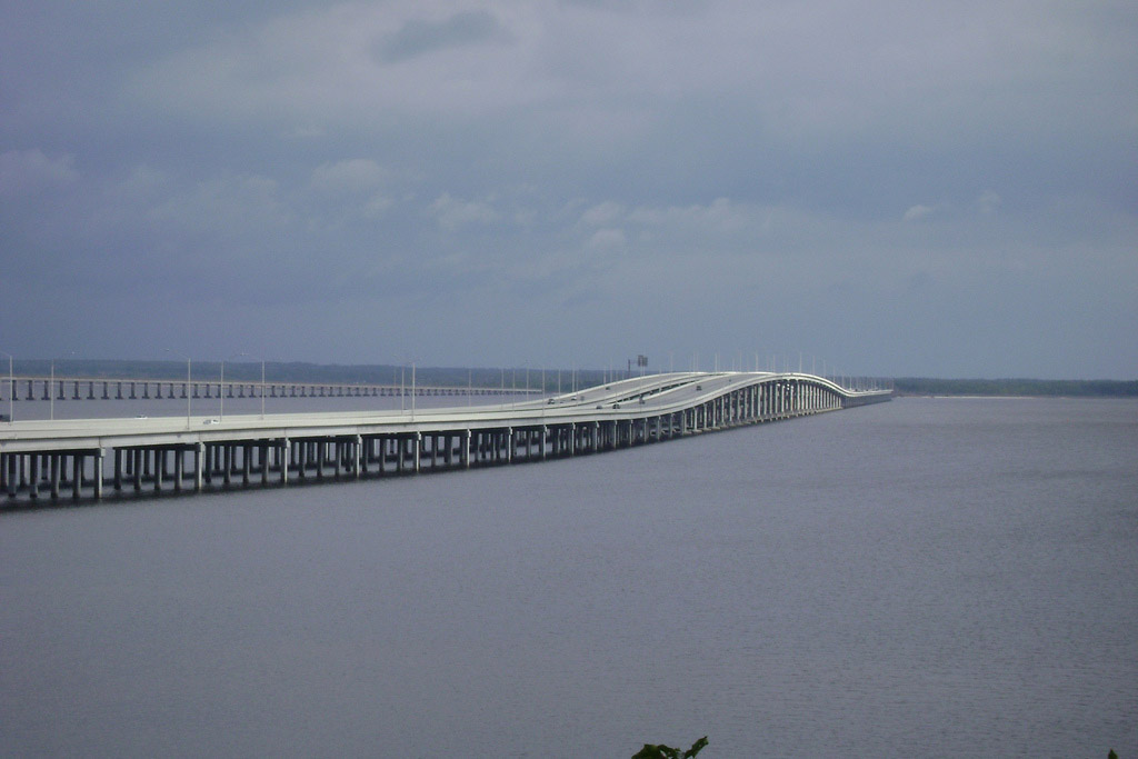
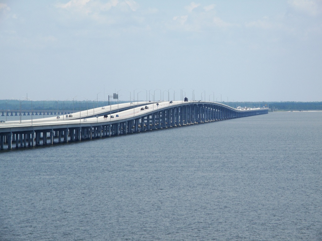
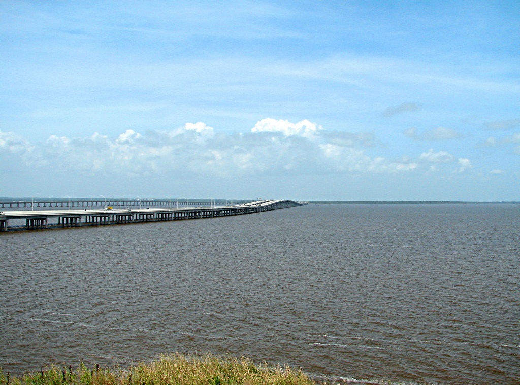
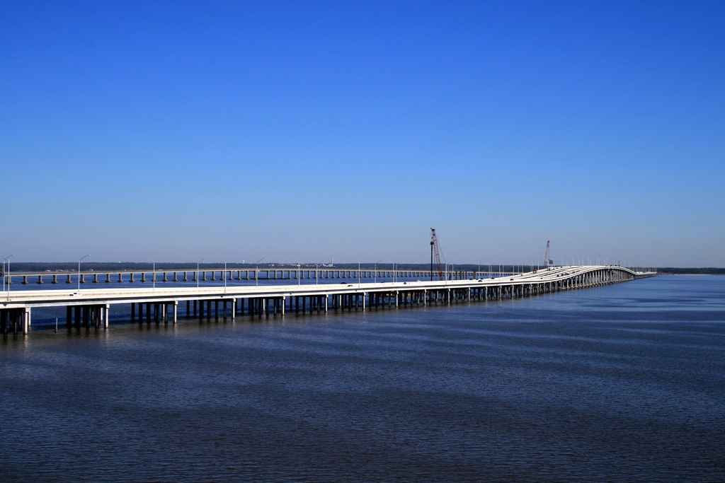
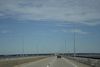
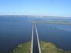
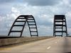
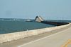
Puente de la bahía de Escambia
Otro:
Localización:
View Larger Map
Récord: 4212.30 m
Tipo: Puentes
Categoría:
Foto:
Voto:
Continente: América
País: Estados Unidos
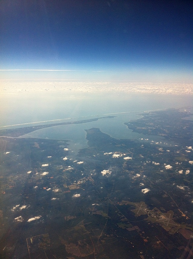
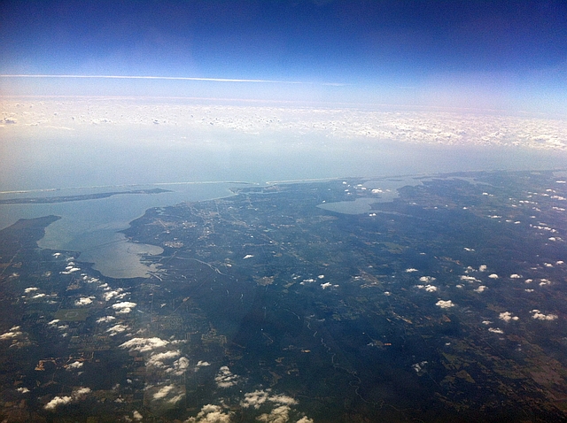
Localización: Bahía de Escambia cerca de Pensacola
Año: 2007
Estado: Terminado
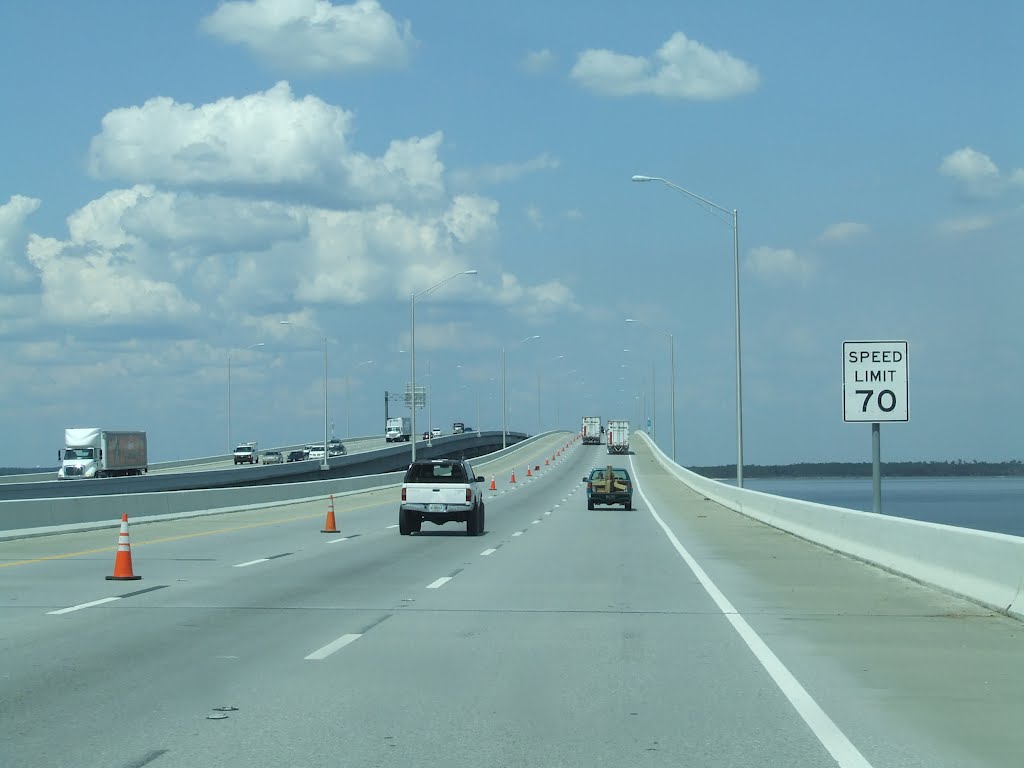
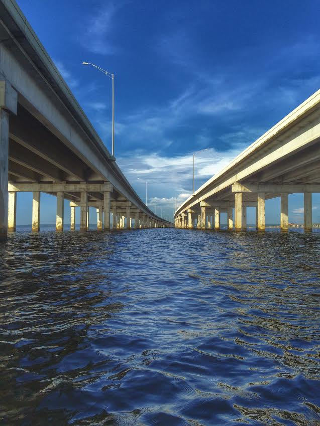
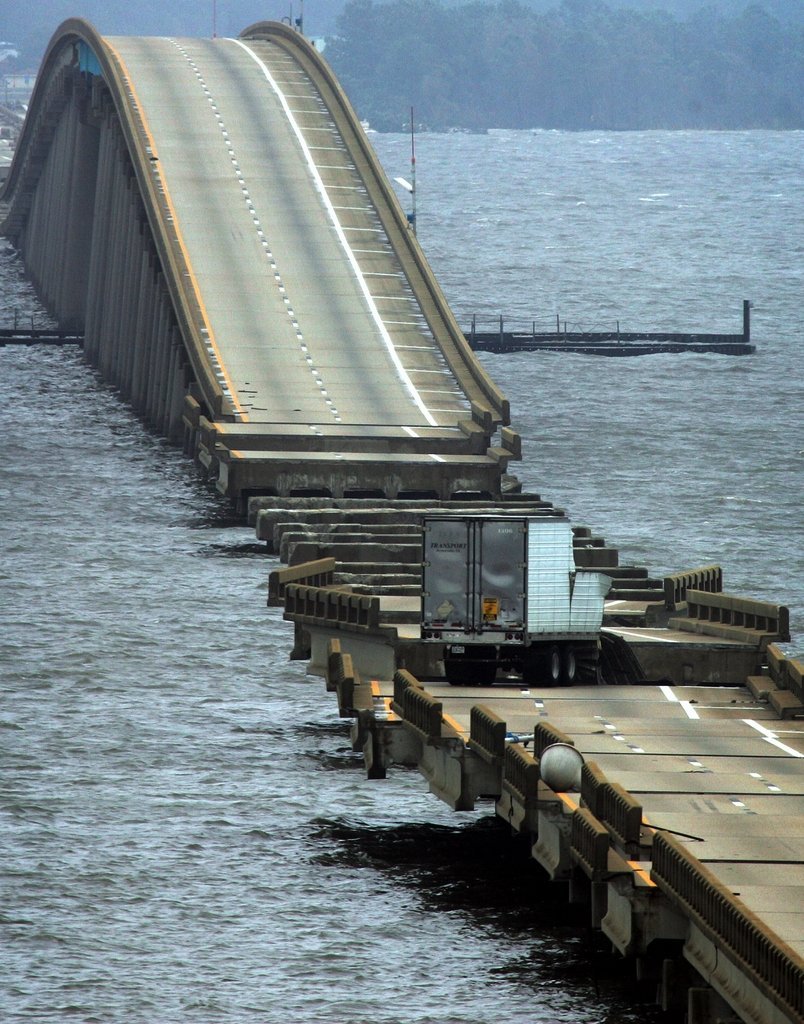
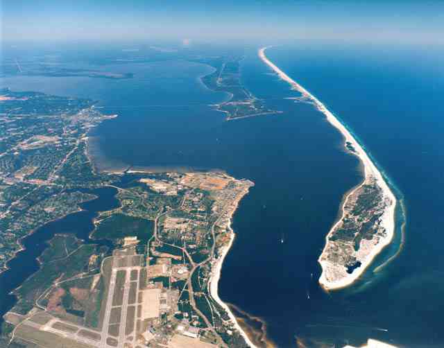
Descripción:The Escambia Bay Bridges of Interstate 10 were the only original spans along Interstate 10 in Escambia and Santa Rosa Counties not replaced by late 1990s and early 2000s upgrade projects. Built during initial construction of the freeway between 1962 and 1967, the bridges rose just 12 feet above the bay.
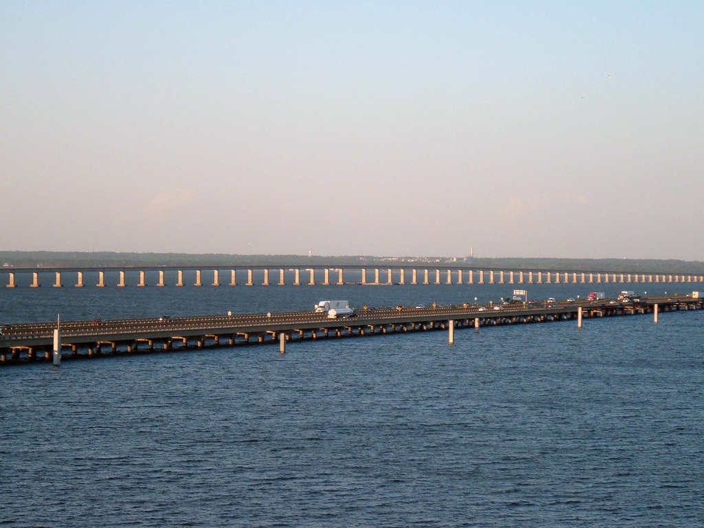
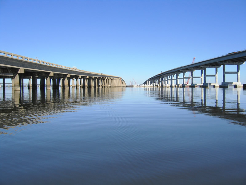
Hurricane Ivan made landfall between Fort Morgan and Gulf Shores, Alabama in southern Baldwin County on early Wednesday morning September 15, 2004. The category 4 storm made landfall on the Gulf Coast with 130 mile per hour sustained winds and storm surges varying between 10 and 15 feet. The storm was traveling north northeast at the time of landfall, thus putting the northeast quadrant of the hurricane and eye wall across both Baldwin and Escambia Counties. The land falling storm caused extensive property damage, washed out area roads, took a number on the environment, and claimed countless lives. Impacts from the major hurricane disrupted travel along Interstate 10 for two years.
http://www.aaroads.com/guide.php?page=escambiabaybrfl
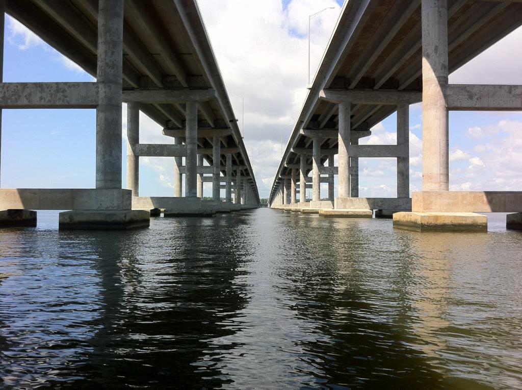
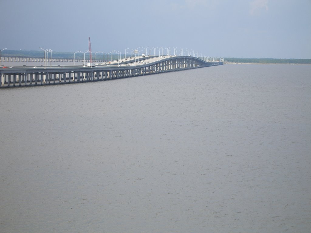
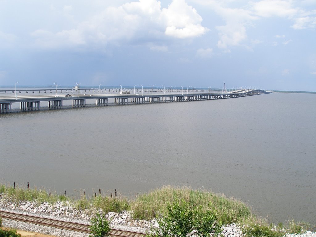
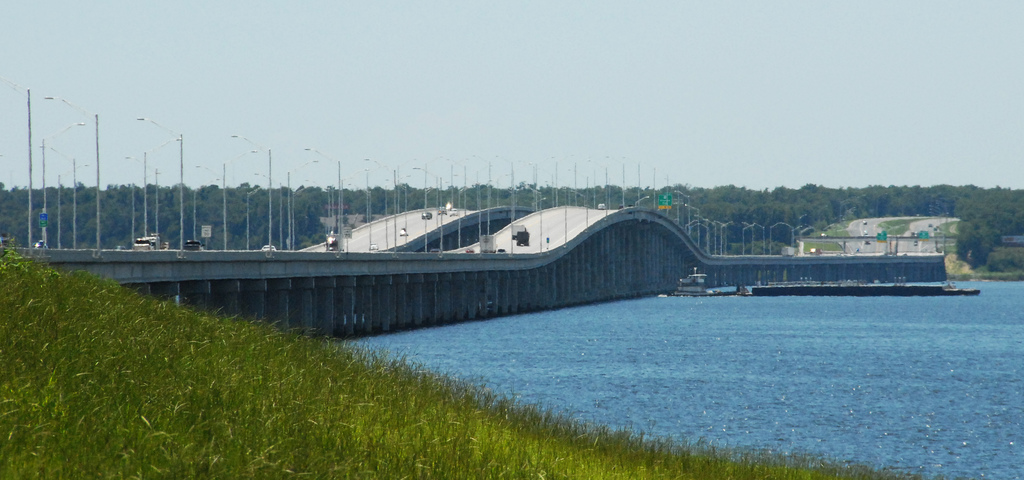
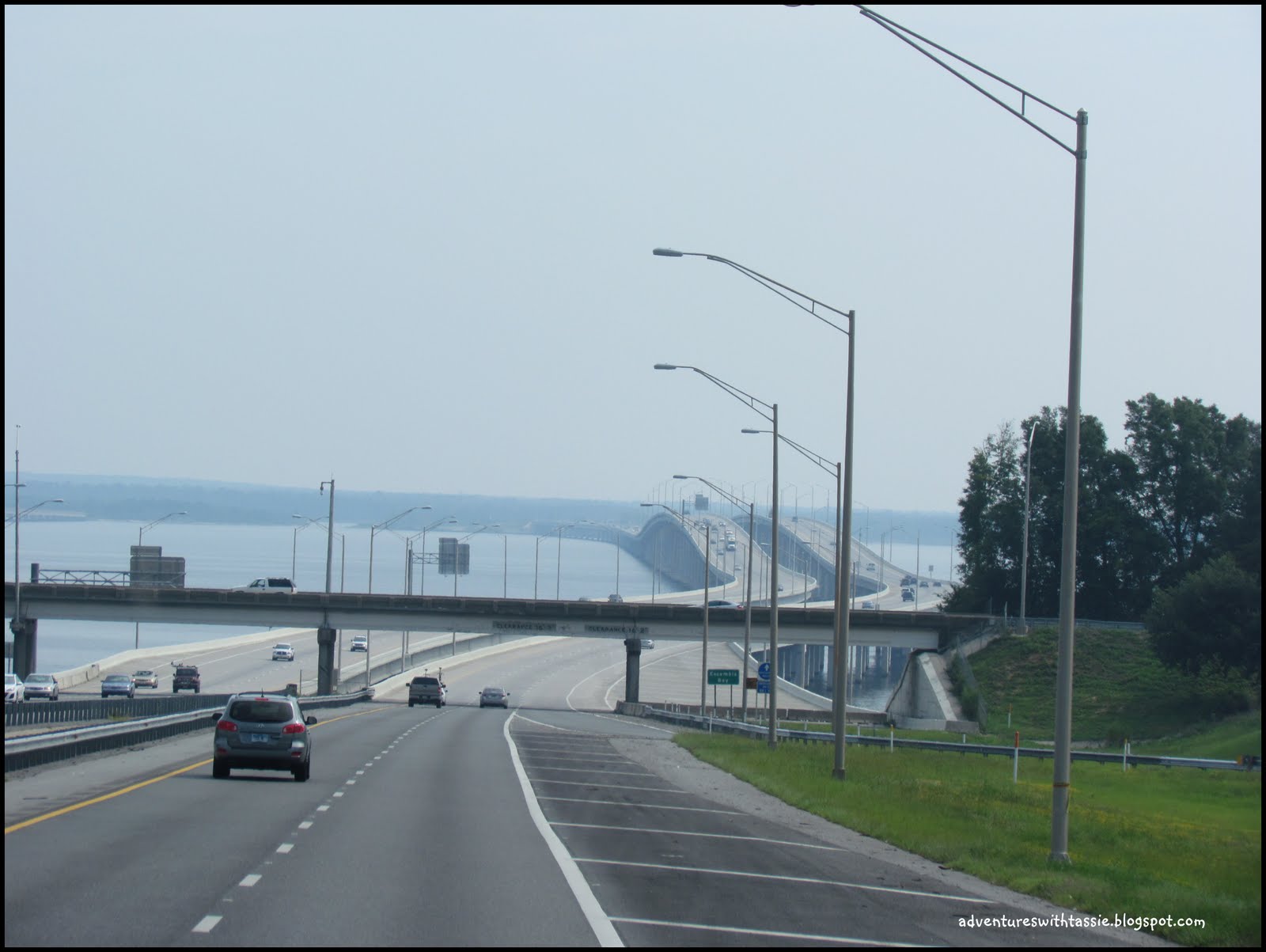
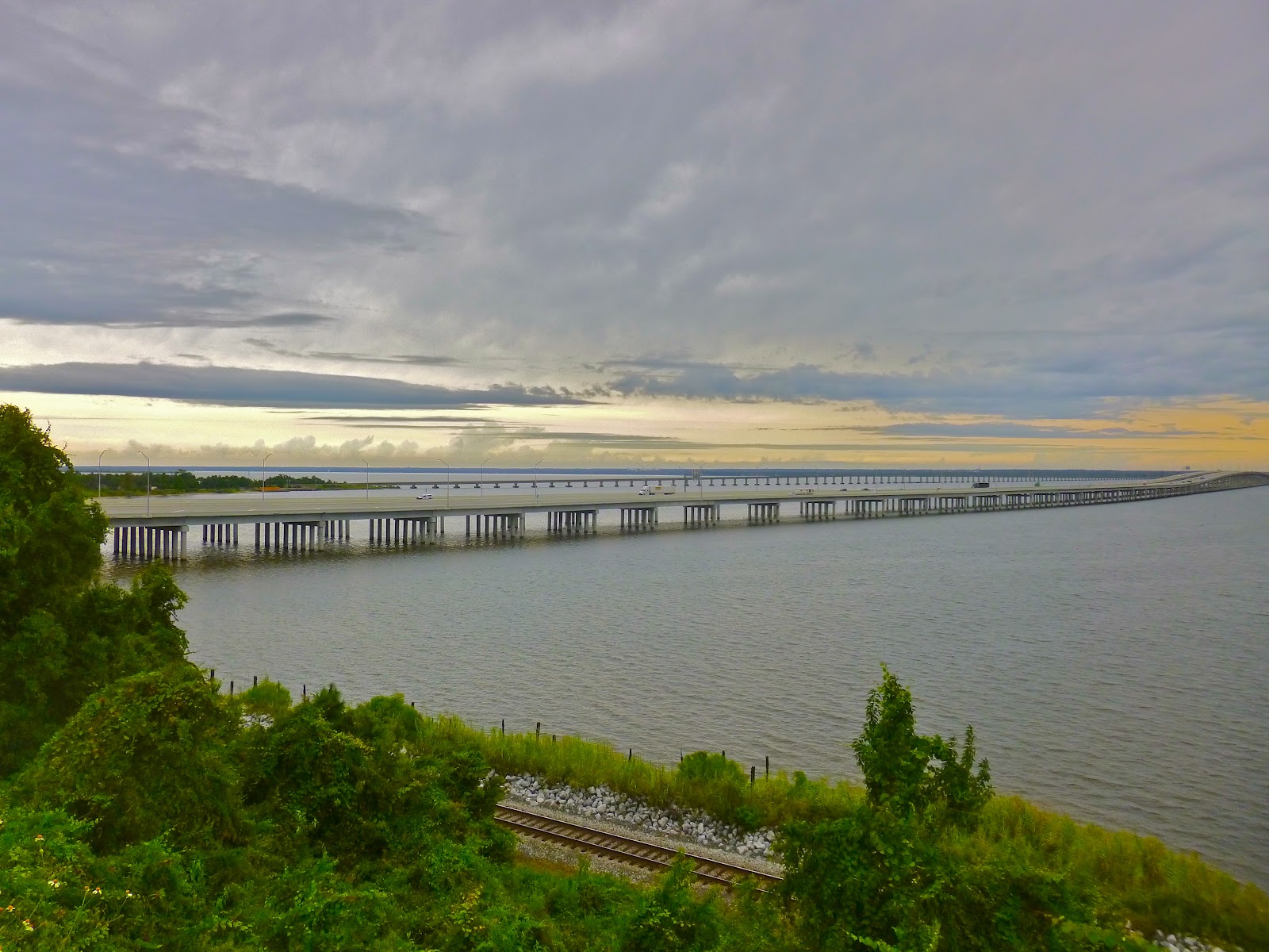
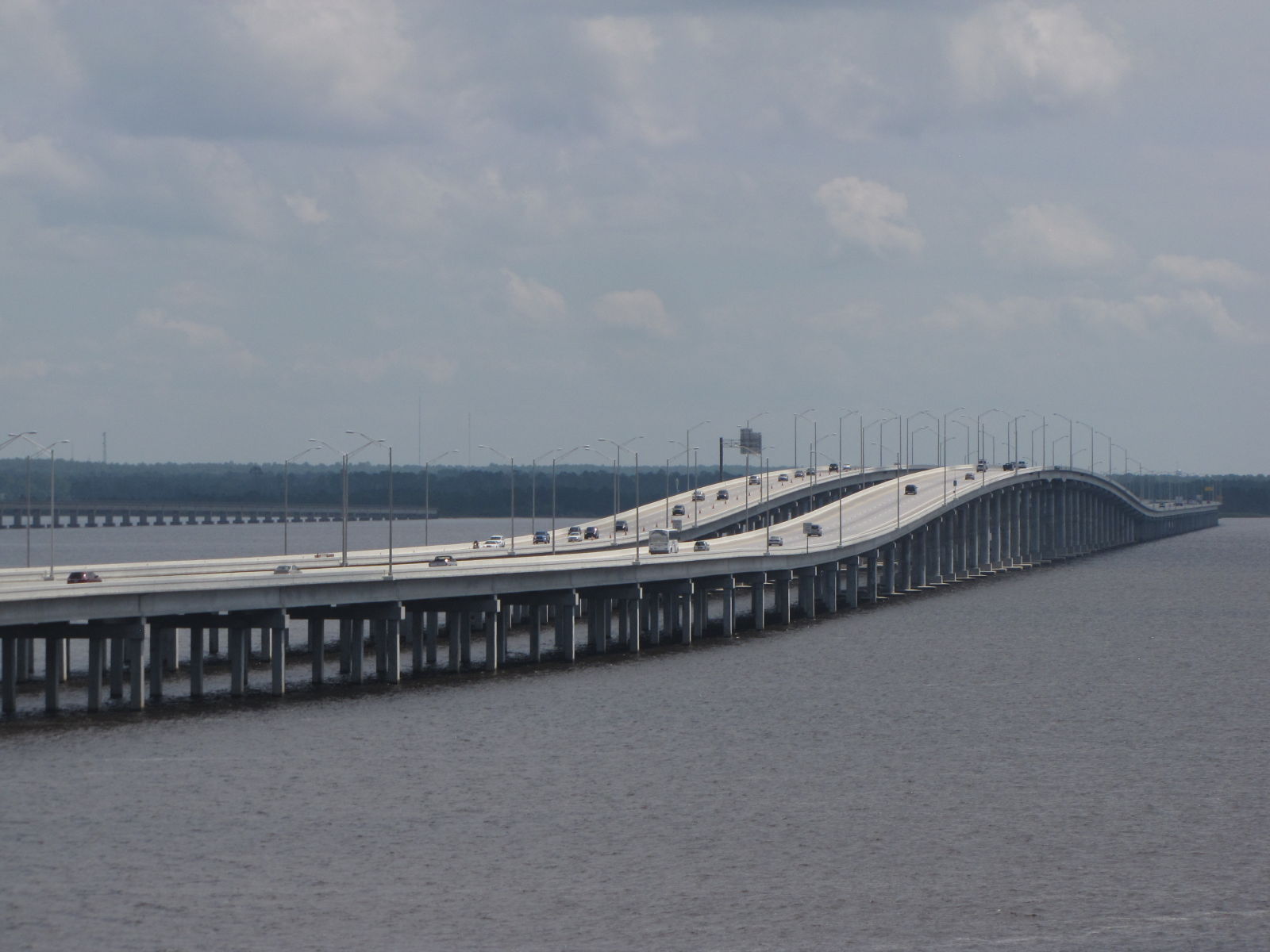
The original four-lane bridge opened in 1968. It consisted of twin spans of two lanes each with no shoulders and was heavily damaged during Hurricane Ivan in 2004.[2] The storm surge knocked a total of 58 spans off the eastbound and westbound bridges and misaligned another 66 spans, causing the bridge to close to traffic in both directions.[3] Traffic normally destined for the bridge was rerouted along U.S. Highway 90 for over two months while temporary spans were built along the bridge's existing substructure, resulting in severe traffic jams. The original bridge, with its temporary spans, reopened in November 2004 with traffic reduced to one lane in each direction.
http://en.wikipedia.org/wiki/Escambia_Bay_Bridge
http://bridgehunter.com/fl/santa-rosa/bh52712/
http://www.panoramio.com/user/1016490/tags/bridge
http://www.panoramio.com/photo/72198921
http://upgrd.com/roadmoretraveled/an-aerial-tour-of-the-northern-gulf-coast.html
Vídeo:
Web recomendada: http://www.aaroads.com/guide.php?page=escambiabaybrfl
Contador: 6299
Inserción: 2014-12-17 16:50:59
Lugares a visitar en un radio de 100 km (en línea recta)
Mapa de los lugares a 100 km (en línea recta)
Mostrando Registros desde el 1 hasta el 0 de un total de 0
Visitas RSS |
Más visitados Basílica de San Marcos  155940 Catedral de Notre Dame (París)  145495 Torre de Pisa  132449 Monte Saint-Michel  101570 Burj Khalifa  86145 |
Incorporaciones |
Comentarios Agenaktof  Mumbai (Bombay) In addition, folks these living in the residence, and stability of who're opioid addicted spend... Wein Plaza  Mumbai (Bombay) Thanks a lot. Loads of knowledge! Wein Plaza - JerryMiff  Mumbai (Bombay) Всем доброго времени суток! Хочу посоветовать... Oscarhealf  Mumbai (Bombay) Прикиньте, вчера я осознал, что мир маркетплейс... Sergio alumb  Puerto de Klaipeda Not long ago I started exploring coin collecting. I found a helpful resource at |