
Nombre:
Puerto de Alejandría y El-Dekheila
Otro:
Localización:
View Larger Map
Tipo: Puertos
Categoría:
Foto:
Voto:
Continente: África
País: Egipto
Localización: Alejandría
Año:
Estado: Terminado
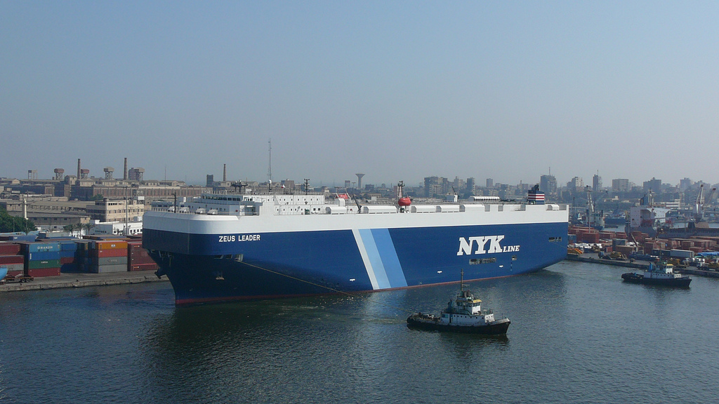
Descripción:Alexandria, Egypt / Port of Dekheila [Dukhaylah]
31°07'N 29°49'E
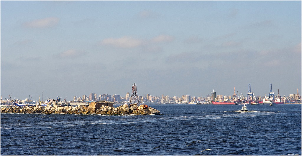
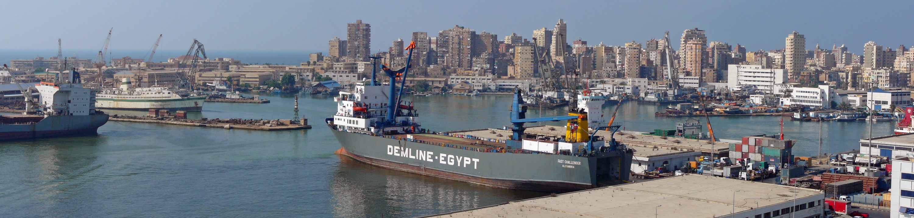
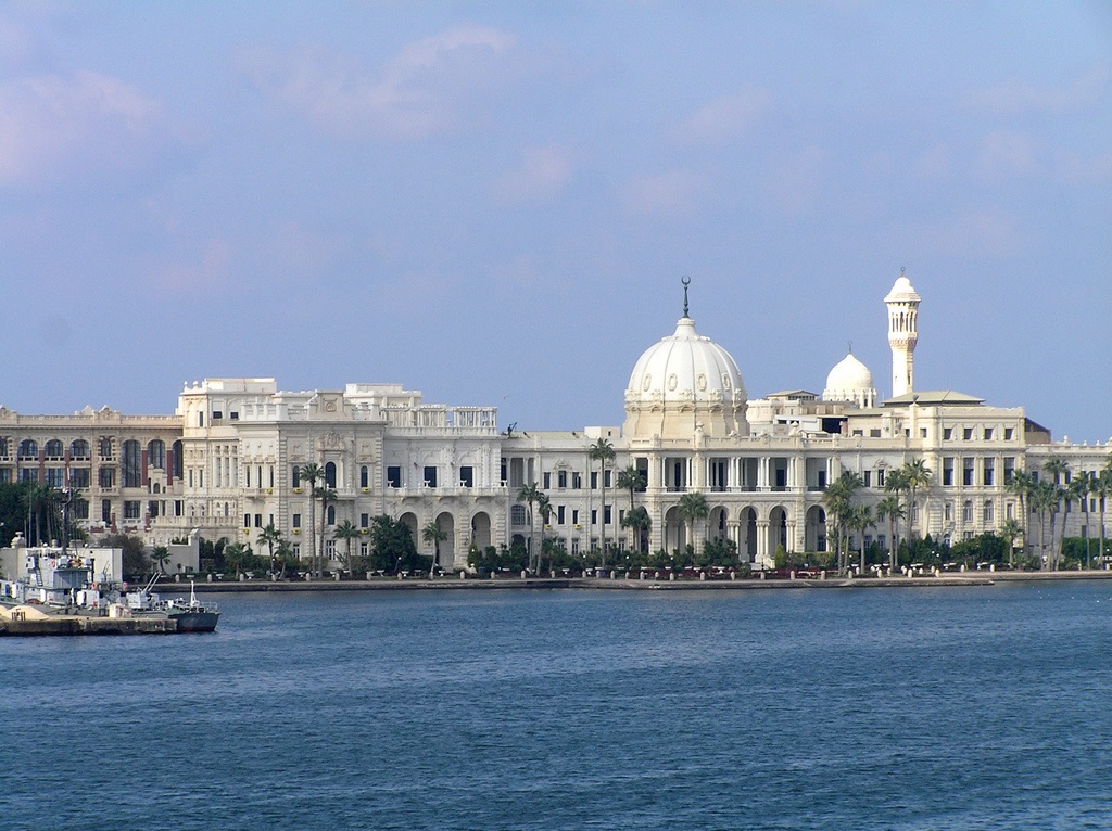
The Port of Alexandria, Egypt is located on the western extremity of the Nile River Delta. The port is about 150 n mi west, by sea, of the entrance to the Suez Canal and Said.
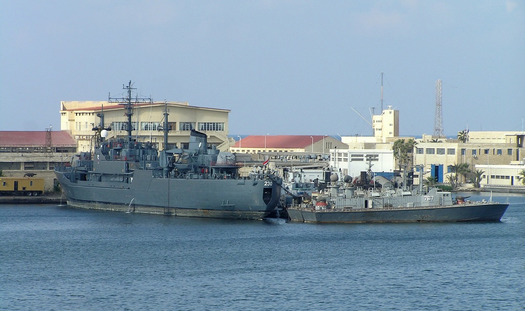
Sixth Fleet ports of call are also located throughout the Mediterranean Sea. Ship visits ensure continued access to essential bases and infrastructure. Engagement capitalizes on naval strengths of mobility and sustainability, using the inherent prestige of U.S. flagged warships. Formative engagement is further enhanced by incorporating the full range of naval assets -- including Seabees, the chaplaincy, the Judge Advocate General corps, and civil affairs units -- during port visits.
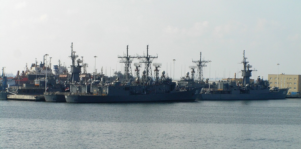
U.S. Navy vessels are normally berthed at the Arsenal quay within the inner harbor. Fleet landings are located inside the east harbor at the Sea Scout Club and at the Yacht and Shooting Club. Small boats using the Fleet Landings or other berths in the East Harbor should be aware of the numerous rocks within 3 ft of the surface. This is especially a problem near the Sea Scout Club seawall. This seawall, having only about 2 ft of freeboard also presents the hazard of potential hull damage during even minimal wave action. Precaution should be exercised through use of fenders and/or a floating barge.
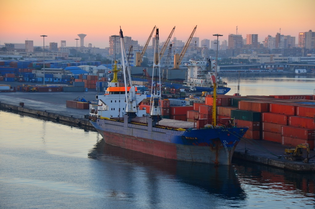
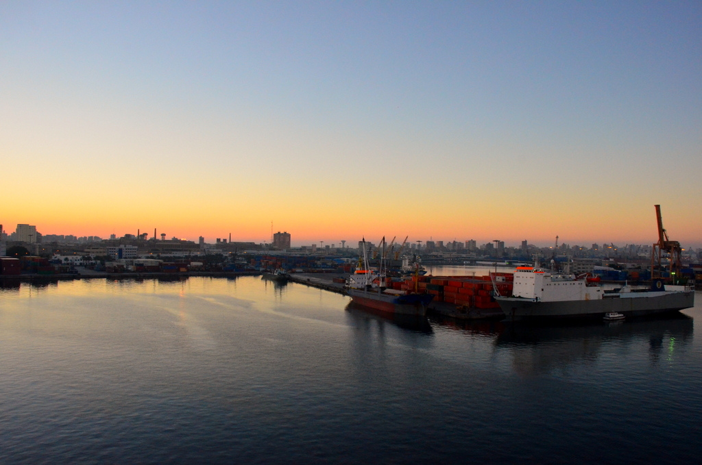
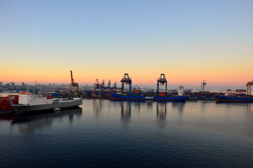
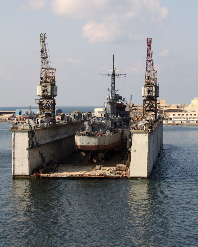
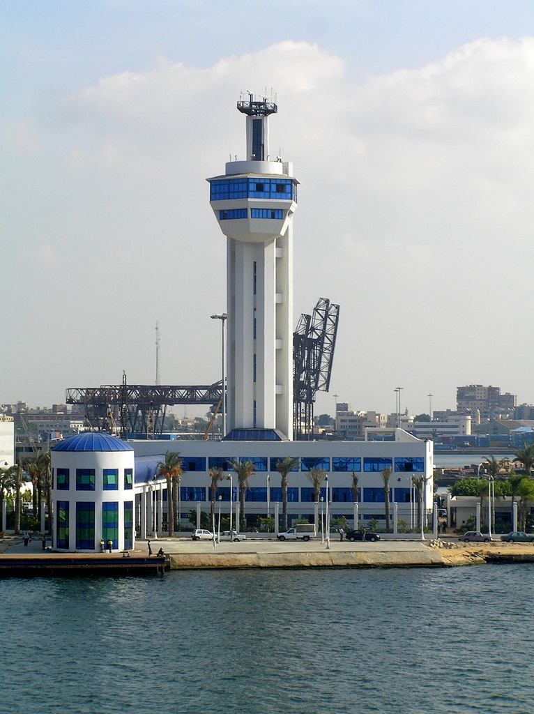
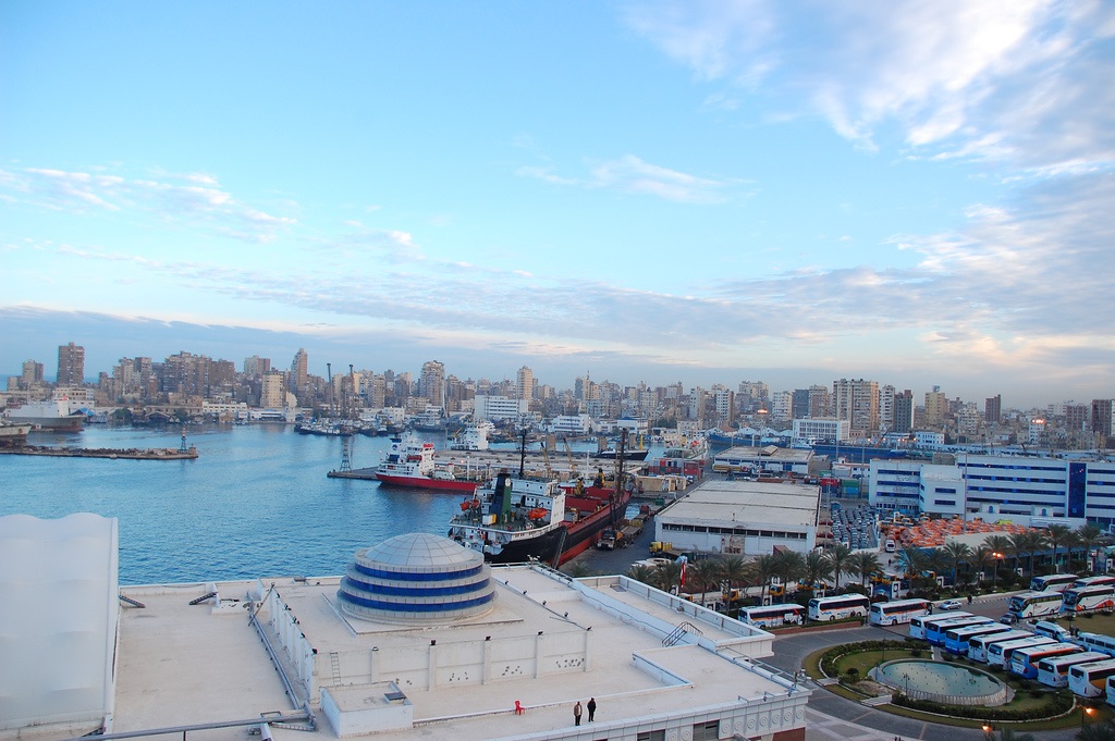
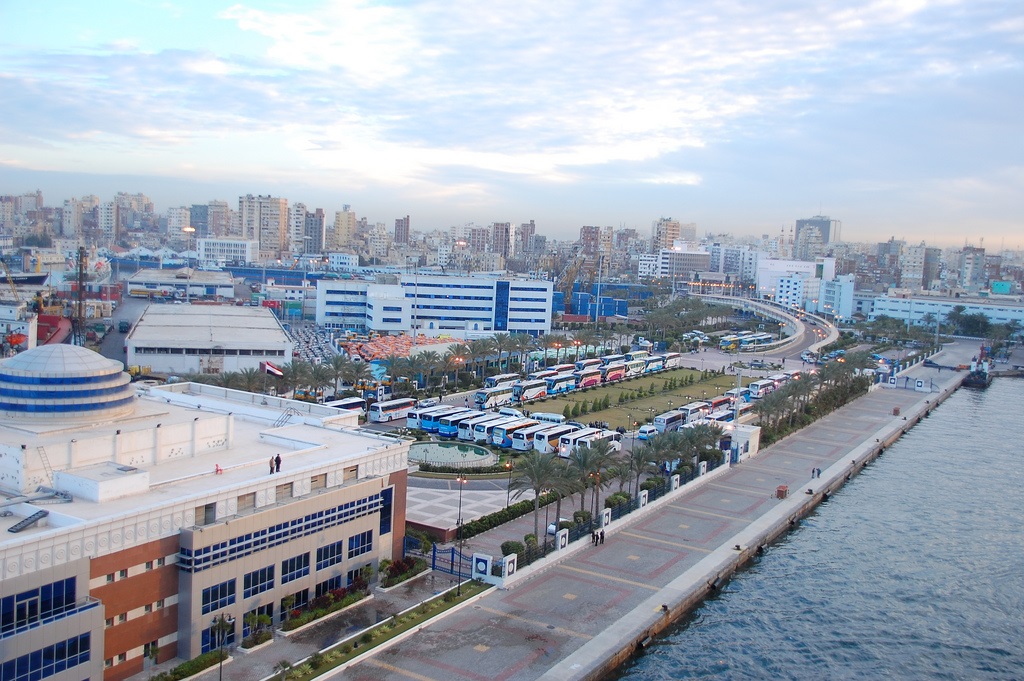
Port of Dekheila [Dukhaylah]
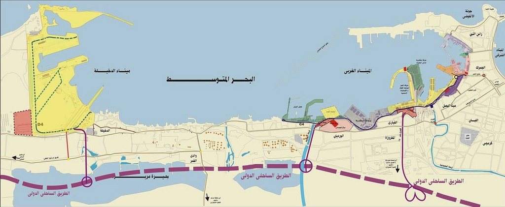
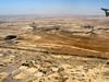
El Dekheila is situated 7 km west of Alexandria and serve as an extension to that port. Dekheila port is a natural extent to Alexandria port due to the increasing of the containers movement in Alexandria port and the increasing growth of industrial development and free zones in Alexandria west delta. The site is near El Dekheila Iron and Steel complex , the free zone and the electricity generating project west Alexandria.
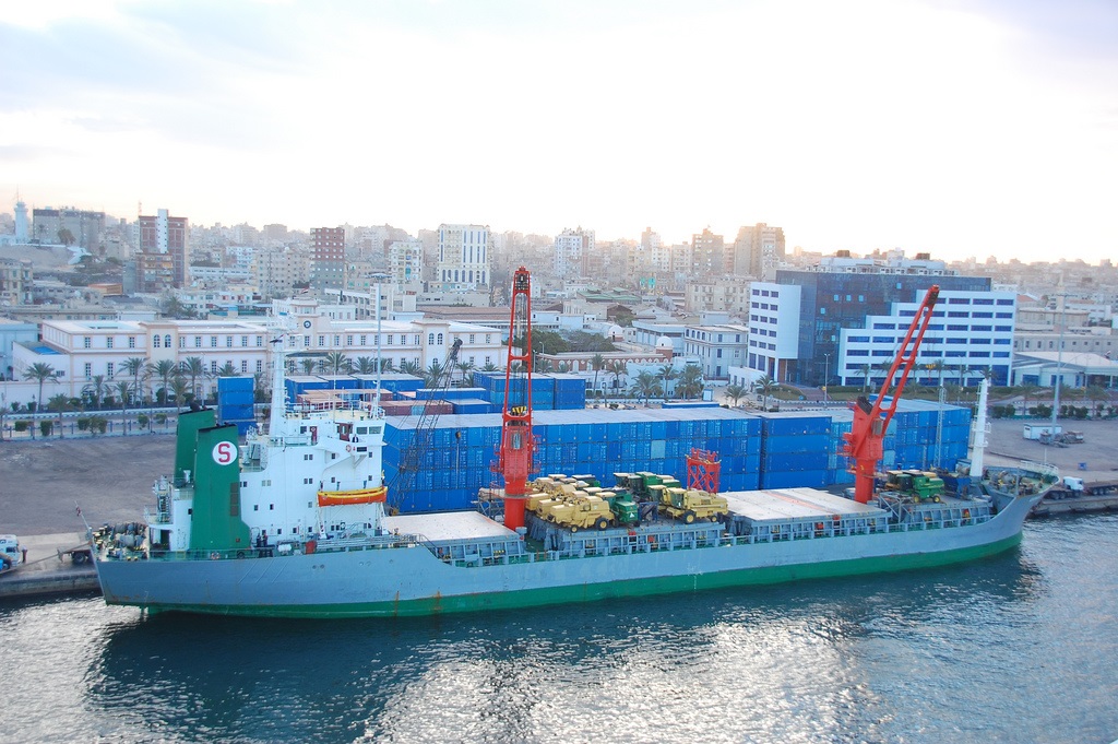
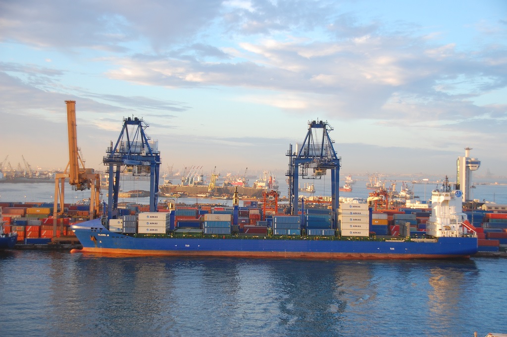
Commercial Port Access channel 1.2 Km. in length is a branch off the access channel to the industrial port. Depth of channel 14.0 m. Width 210 m.-150m. Commercial port will have over 1,500 m. of berthing space with 15.0m .of water alongside . Cargoes to be handled will include containers, general cargo, timber, chemicals and Ro/ Ro vessels. Available 300 m. of berthing space with depth 15.0 m. and max. draft 13.0 m.
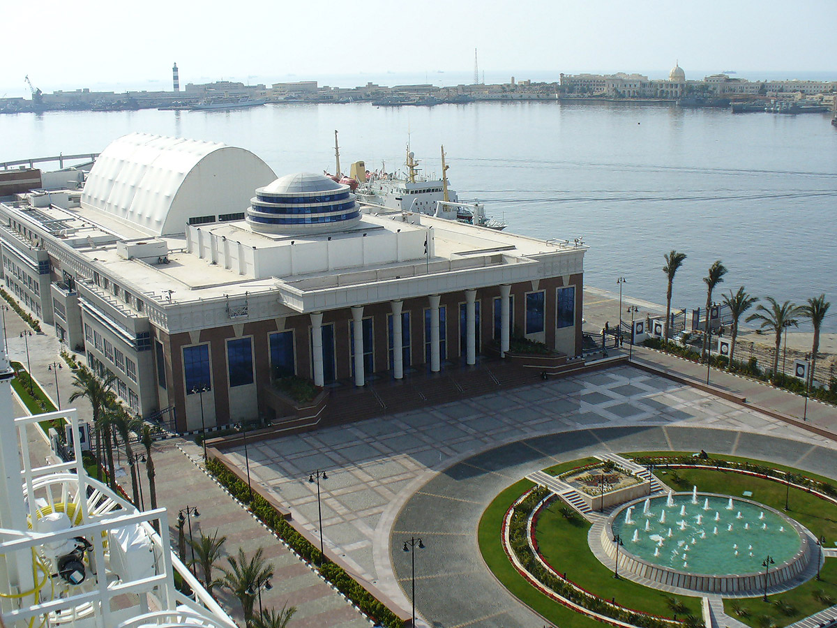
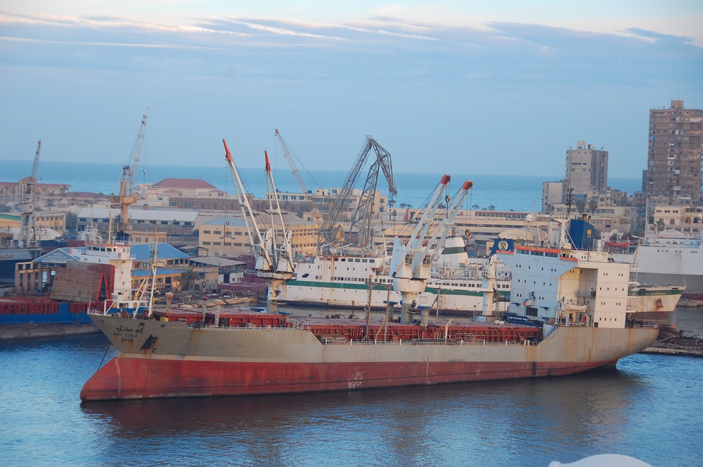
The Egyptian government also plans to upgrade the infrastructure at Alexandria port but would like to see greater private participation at the port. The Dekheila section of Alexandria Port, lying west of the old port, is seen as the great hope for future expansion. Dekheila has a substantial natural draft of up to 20m in places and handles over half the total of 600,000 teu that passes through Alexandria and also works a good amount of bulk grain and steel.
When the 24th Corps Support Group (CSG) literally had to build and then support a city in the desert of northern Egypt for Exercise Bright Star 99/00, Quartermasters were critical to the gargantuan effort. At Dukhaylah [Dekheila / Degheile], the sole seaport of debarkation, the 260th Quartermaster Battalion (Petroleum Supply) from Fort Stewart was part of the joint effort to off-load, receive and stage all equipment arriving by ship - a formidable task. For coalition nations and the US, 12 ships were downloaded between mid-September and mid-October. Rolling stock totaled over 5,500 pieces, as well as another 2,000 containers. The 260th Quartermaster Battalion had the mission of life support for all personnel working at the port, which averaged about 1,500 military personnel from many nations. Also, this battalion provided the port support activity (PSA), which had the responsibility for managing the loading and unloading all vessels carrying US Army equipment.
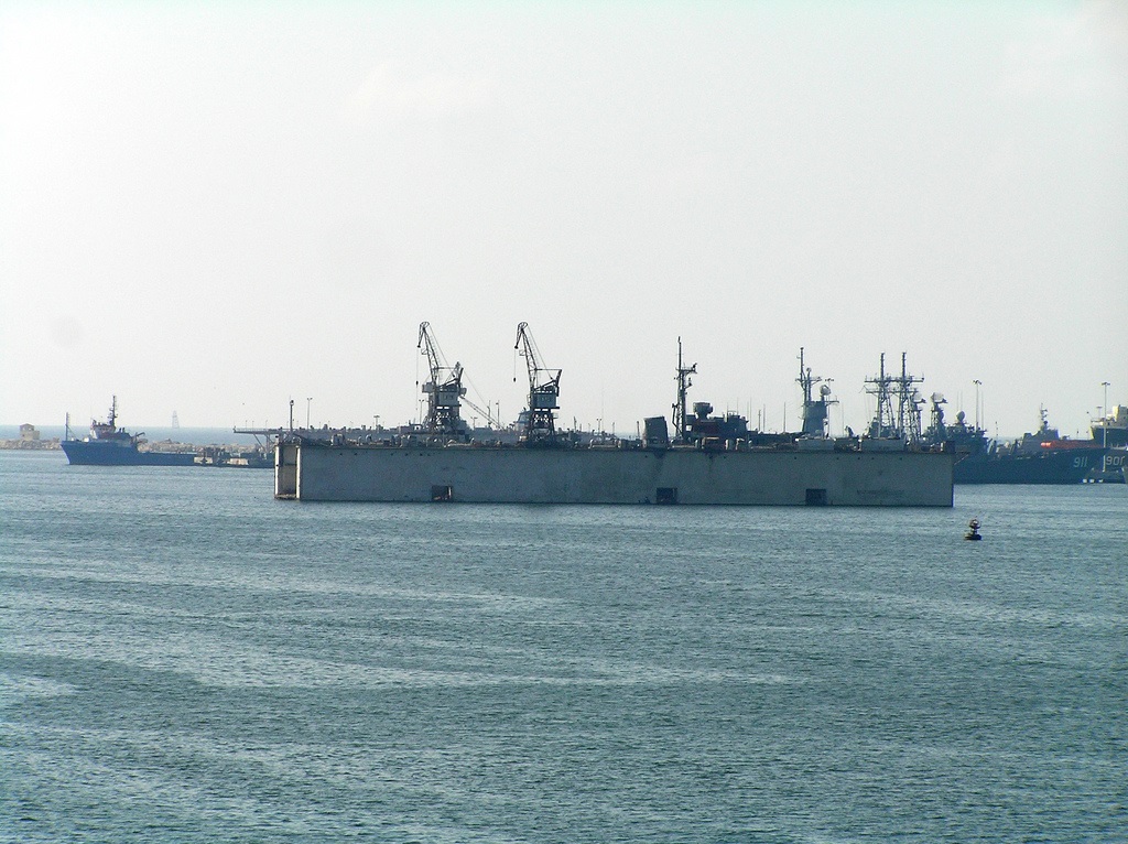
The PSU's mission was to protect the ships or other designated high value assets (HVA). They performed a "real-world operation" during exercise Bright Star 99/00 by providing security for the Military Sealift Command maritime pre-position force (MPF) ship M/V Cpl. Louis B. Hague. PSU 309, from Port Clinton, Ohio, and PSU 305 from Fort Eustis, Va., deployed and operated under Naval Coastal Warfare Group (NCWG) Two, a joint Coast Guard and Navy command at Williamsburg, Va. On Nov. 9, the M/V Hague was escorted into the harbor at Port Dukhayla by the 44-foot Egyptian patrol boats and PSU 305's TPSBs. While M/V Hague was pierside to reload equipment from the exercise, port security operations continued with patrols by Egyptian and US forces.
On 2 July 1798, Bonaparte and his armies landed by night on the shores of the small fishing village of Dekheila near Mex, approximately 30km northwest of Alexandria. E M Forster recounts that the inhabitants of the town awoke to the vision of the normally empty sea, covered with an immense fleet of 300 vessels anchored opposite the Isle of the Marabout.
***
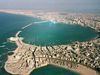
Alexandria
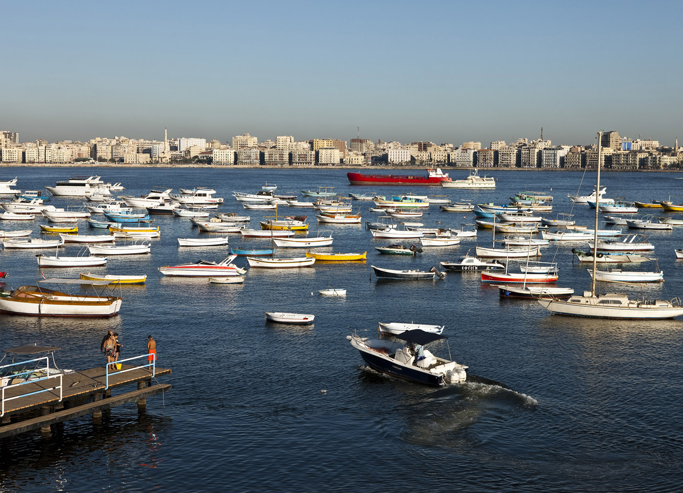
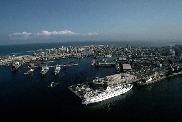
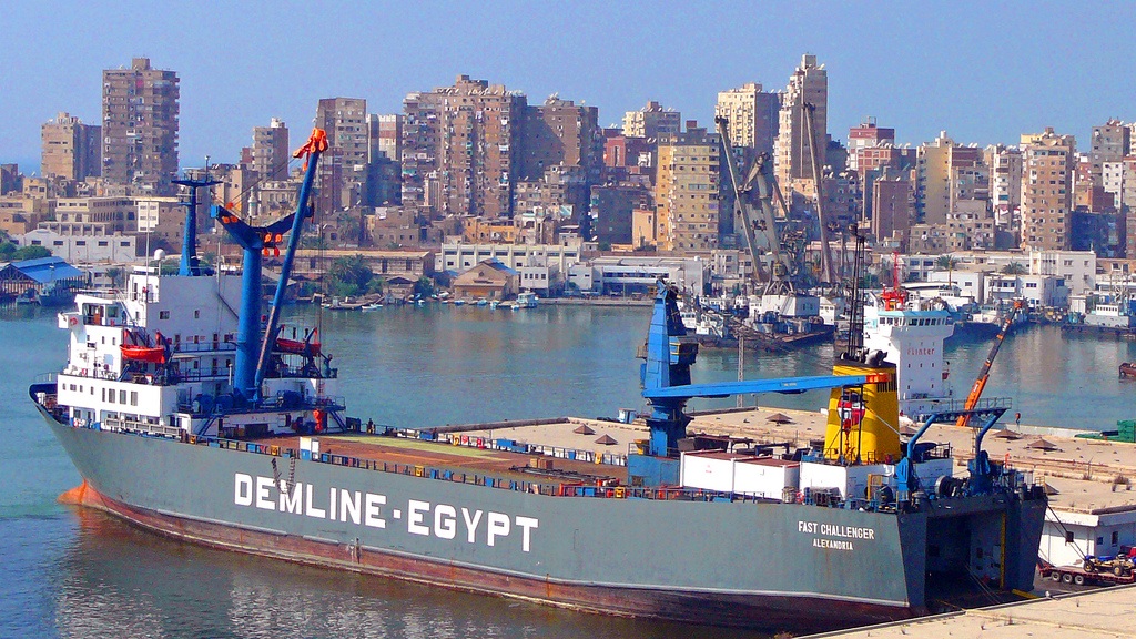
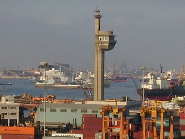
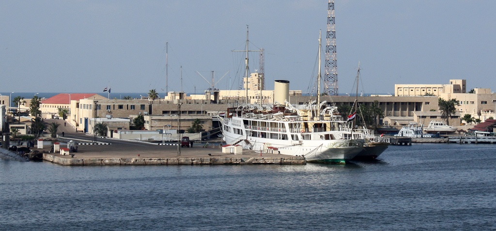
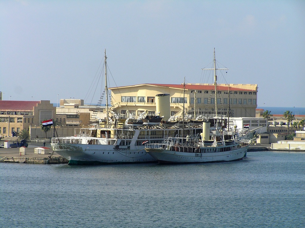
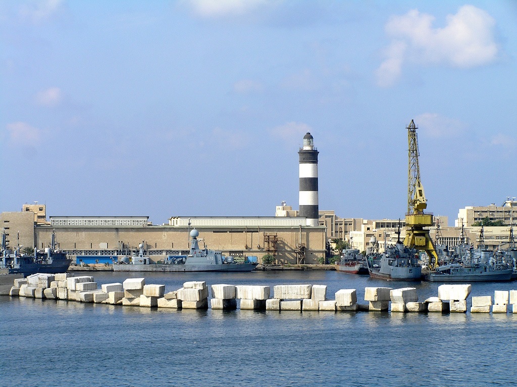
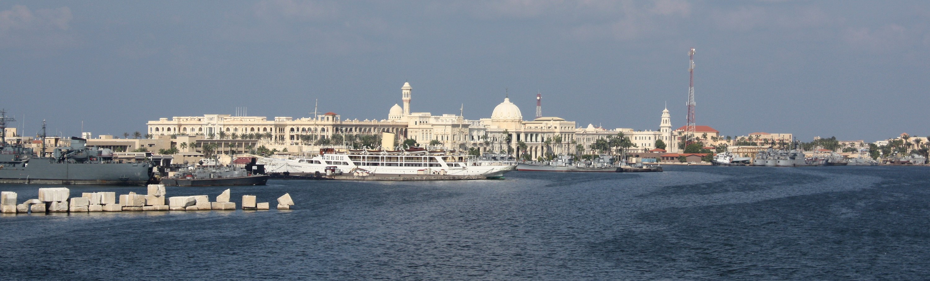
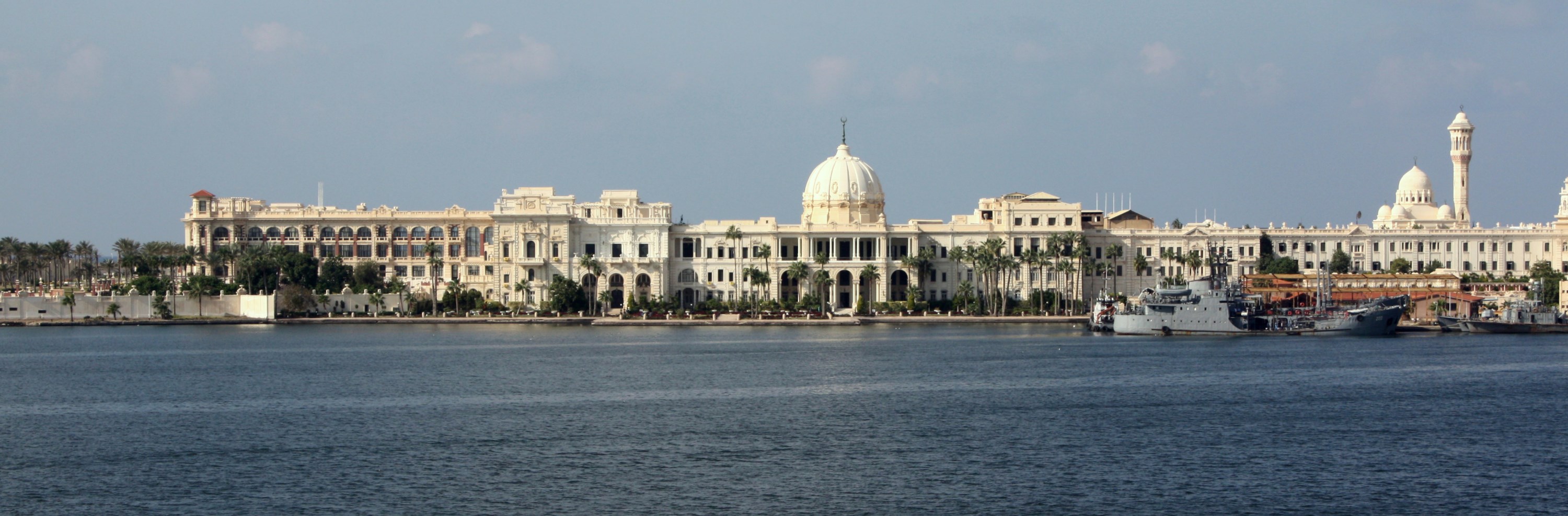
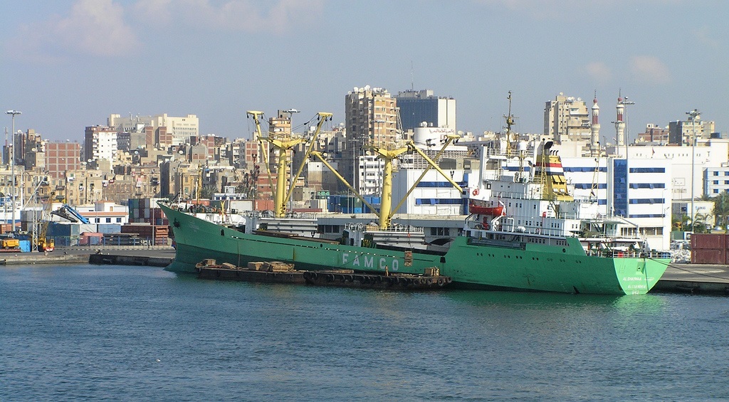
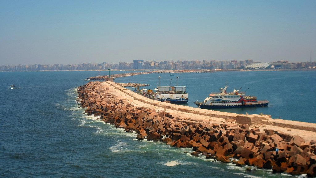
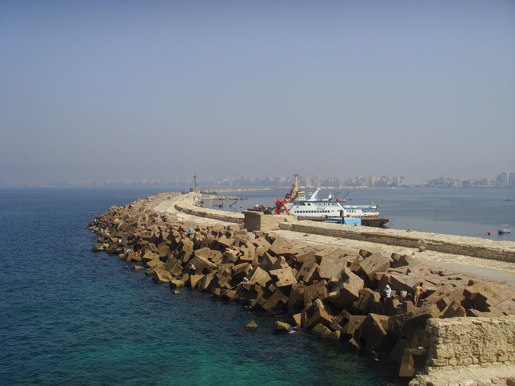
Alexandria is the largest seaport in Egypt. It is situated on a narrow strip of land between Lake Maryut and the Mediterranean Sea. There are two natural harbors, known as the East and West Harbors, located either side of a half-mile-wide northwestward extending Isthmus. The coastal area in the vicinity of Alexandria is very flat and featureless and the coastline is nearly straight. The depth soundings decrease gradually towards land. Due to the numerous shoals, land should not be approached to a depth of less than 20 fathoms (36 m) except in defined entrance passes. The Great Pass is the principal channel through the reefs used for entrance to the west harbor. The channel has a minimum width of 200 yds and can only be transited by one vessel at a time.
Alexandria is a sheltered harbor with a large quay wall extending the length of the harbor. Both the East and West Harbors are crowded with numerous vessels at anchor throughout the approach sectors as well as within the harbors. Heavy traffic is a normal condition and local masters are very aggressive in close quarter maneuvering. The West Harbor is used by deep draft vessels. It consists of outer and inner harbors. The outer harbor provides several well protected free-swinging berths as well as numerous mooring buoys. Numerous rocks exist at 3 ft or less below the water, especially in the proximity of the Sea Scout Club, and present a clear hazard to navigation. Any appreciable swell can cause a heavy toll on screws.
Alexandria is a crowded port with numerous anchored vessels and congested traffic. Local masters are aggressive in close maneuvering. The harbors are well protected from wave action by a large quay wall. Wave heights are limited to a maximum of 2 ft inside the harbors. The deep draft vessel entrance to the West Harbor is via the narrow Great Pass which runs through a dangerous shoal area. Traffic is limited to one vessel at a time. A number of wrecks can be seen on the reef either side of the Great Pass.
Alexander the Great founded the city in 332 BC after the start of his Persian campaign; it was to be the capital of his new Egyptian dominion and a naval base that would control the Mediterranean. The choice of the site that included the ancient settlement of Rakotis was determined by the abundance of water from Lake Maryut, then a spur of the Canopic Nile, and the anchorage provided by the island of Pharos.
Alexandria's rebirth began when Muhammad 'Ali was appointed Ottoman viceroy in 1805. Hoping to modernize Egypt, he reopened Alexandria's access to the Nile by building the 45-mile-long al-Mahmudiyah Canal, docks, and an arsenal, where he located industry. The city became an important banking/commercial centre. The opening of the Cairo railway in 1856, the cotton boom created by the American Civil War in the early 1860s, and the opening of the Suez Canal in 1869, led to another cycle of rapid growth.
During the 1960s Alexandria was thoroughly Egyptianized and brought under the control of the national government. It benefited from Nasser's program; this boon was felt in the food & textile industries, which had expanded between the wars. Alexandria's port became swamped by trade from Port Said. The discovery in 1976 of gas reserves at Abu Qir Bay and at Abu Madi has spurred development; the beneficiary has been ad-Dukhaylah, which has become a iron/steel center.
Alexandria's access to the outside world also has been promoted to encourage the development of light industry. A free-trade zone has been established in al-'Amiriyah. Although Alexandria's stock and cotton exchanges were closed in the 1960s, the stock exchange has been allowed to reopen. The city has launched a master plan designed to bring massive civic improvements.
http://www.globalsecurity.org/military/facility/alexandria.htm
El Puerto de Alejandría1 (en árabe: ميناء الإسكندرية البحري) está al borde oeste del delta del Nilo, entre el mar Mediterráneo y el Lago Mariut en Alejandría, Egipto. Considerada como la segunda ciudad más importante y el principal puerto de Egipto, maneja más de tres cuartas partes del comercio exterior de Egipto. El puerto de Alejandría se compone en realidad de dos puertos (Este y Oeste) separados por una península en forma de T. El puerto oriental es poco profundo y no es navegable por grandes barcos. El puerto occidental se utiliza para la navegación comercial. El puerto está formado por dos espigones convergentes.
http://es.wikipedia.org/wiki/Puerto_de_Alejandría
http://en.wikipedia.org/wiki/Alexandria_Port
Pinche para ver las Fuentes seleccionadas
Vídeo:
Web recomendada: http://www.apa.gov.eg/
Contador: 6350
Inserción: 2015-02-19 15:49:27
Lugares a visitar en un radio de 100 km (en línea recta)
Mapa de los lugares a 100 km (en línea recta)
Mostrando Registros desde el 1 hasta el 0 de un total de 0
Visitas RSS |
Más visitados Basílica de San Marcos  149099 Catedral de Notre Dame (París)  137729 Torre de Pisa  128225 Monte Saint-Michel  97365 Presa de las Tres Gargantas  73688 |
Incorporaciones Shumen  91 Dobrich  168 Aeropuerto de Cali  132 Puerto de Dudinka 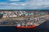 71 Monasterio de Santo Toribio de Liébana  117 |
Comentarios Arq. Jaime Fuentes Flores  Torres Obispado EXTRAORDINARIO . FELICIDADES . Un Cordial saludo Directivos y Personal de ... hazola  Cúpula de la Roca gracias me... gera  Buenos Aires las mejores fotos de la mejor ciudad del... Daniel M. - BRASIL  San Francisco ... PEQUE  Presa Chicoasén SERA QUE ALGUIEN ME PUEDE DAR MAS INFORMACIÓN DE ESTE PROYECTO ESTUDIO EN LA UNACH Y ES PARA UN... |


