
Nombre:
Óder
Otro:
Localización:
View Larger Map
Récord: 866 km
Tipo: Naturales
Categoría: Ríos
Foto:
Voto:
Continente: Europa
País: República Checa, Alemania, Polonia
Localización:
Año:
Estado: Terminado
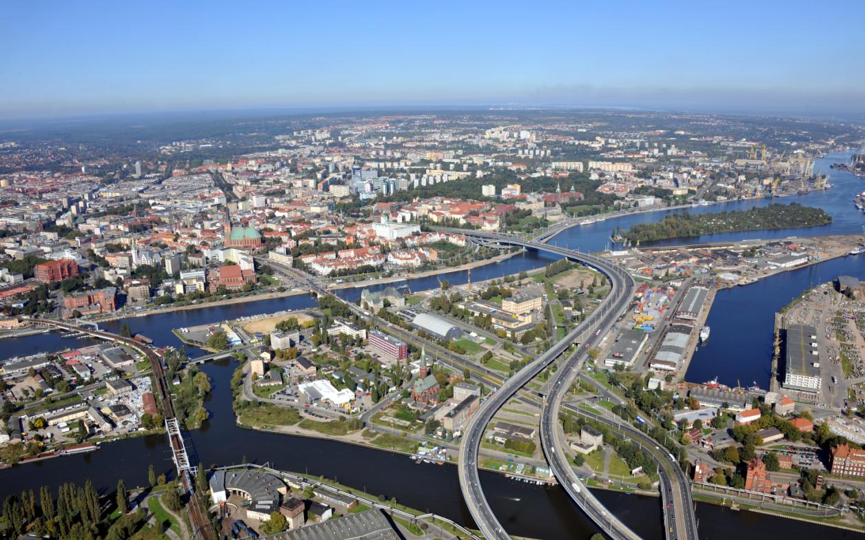
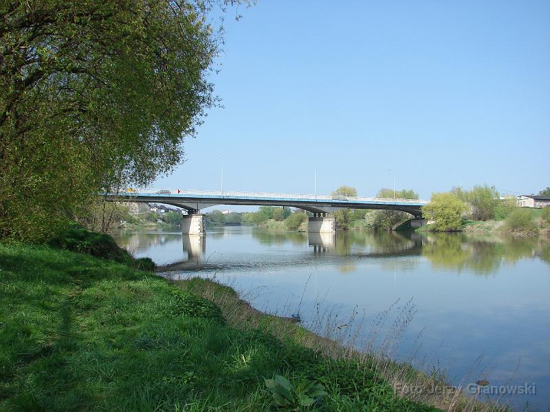
Descripción:Alemania y Polonia vuelven a tender puentes sobre el río Oder
Una filial de FCC reconstruye uno de los pasos clave en la comunicación entre Europa y Asia.
Uno de los brazos internacionales del grupo constructor español FCC, Alpine, acaba de resolver un cuello de botella en una de las rutas entre Europa y Asia con la puesta en servicio de un viejo puente sobre el río Oder, en la frontera de Alemania con Polonia. Una obra modesta que apenas ha aportado 18 millones a la facturación de la entidad que controla Esther Koplowitz, pero que ha estado cargada de simbolismo.

Medio siglo después de la Segunda Guerra Mundial, a cuyo término se fijó el río como la línea que separa a los dos países, coleaba un asunto pendiente: ¿quién paga el mantenimiento de los puentes que cruzan el Oder?
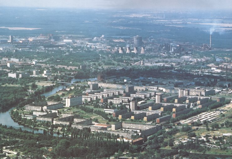
La que parece una simple disputa vecinal había sumido prácticamente en la ruina a infraestructuras que fueron clave durante la contienda y que siguen siendo estratégicas para los corredores paneuropeos número dos (que enlaza las ciudades de Berlín, Varsovia, Minsk, Moscú) y número tres (que recorre Dresde, Wroclaw, Cracovia, Lvov y Kiev). Además, la falta de acuerdo ha dificultado durante años el proyecto de comunicar Europa y Asia a través del ferrocarril.
Por fin, en febrero del año pasado, los dos Gobiernos firmaron un pacto de cooperación para la construcción y mantenimiento de los puentes fronterizos, quedando claro quién era responsable de cada uno de ellos.
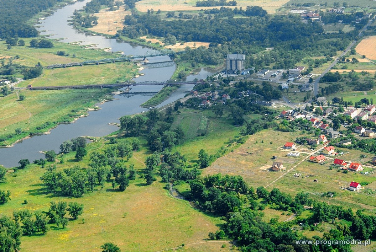
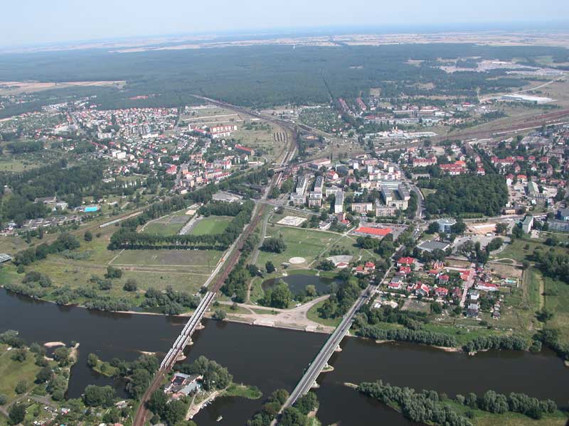
Fue después de que los ministros de Infraestructuras y Transportes de ambas partes se avinieran a razones cuando se adjudicó a Alpine la reconstrucción del primero de los puentes, de 438 metros de longitud, en las cercanías de Fráncfort (Alemania) y Slubice (Polonia). Un paso que fue habilitado en 1870, sufrió serias heridas por las bombas durante la guerra y fue retocado en 1953.
'En los últimos tiempos, debido a las malas condiciones en que se encontraba, se había limitado el tráfico que pasaba por él', explican desde FCC. Sus técnicos se plantearon jubilar la celosía de acero que formaba parte de la estructura y optar por la solución más moderna de un viaducto en arco atirantado. Pero la programación de las obras impidió optar por esa vía y Alpine tuvo que rebuscar entre otras opciones hasta dar con la fórmula del puente en arco con malla. Una apuesta que, según argumenta la firma, prácticamente había caído en desuso desde 1963.
Para convencer al cliente y llevarse el contrato, la filial de FCC presentó como referencia la construcción de un puente semejante, del que se encargó en 2006 en las cercanías de Leipzig (Alemania). Su otro argumento era el ahorro que supone optar por el arco con malla al requerir menos cantidad de acero.
'La construcción ha resultado extremadamente difícil porque sólo querían cortar el tráfico durante dos meses. Teníamos un reto a nivel técnico, pero también de logística', declara Hannes Huber, jefa del proyecto.
El puente se inauguró hace unas semanas, después de 10 meses de trabajo y limitándose a 60 días la clausura total. Una nota publicada en la web de Alpine hace pasar la obra por un hito histórico. Su titular es: Alpine enlaza Alemania con Polonia. Y a la vista del proceso, no le falta razón.
http://cincodias.com/cincodias/2009/02/23/empresas/1235400005_850215.html
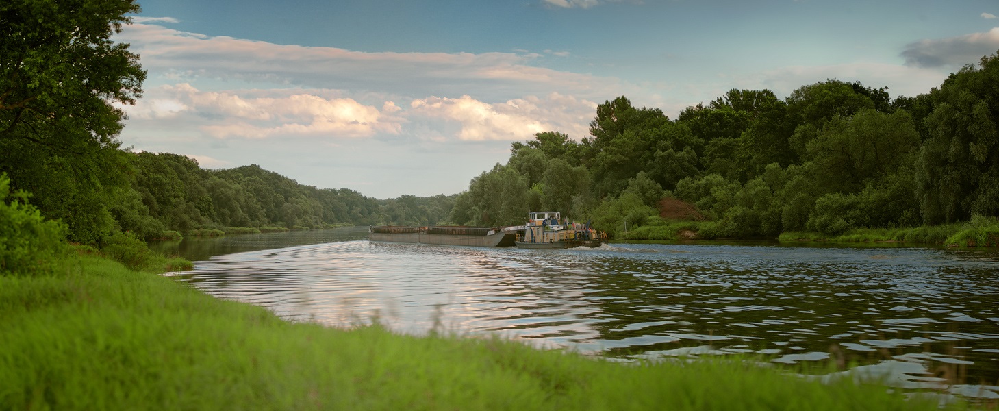
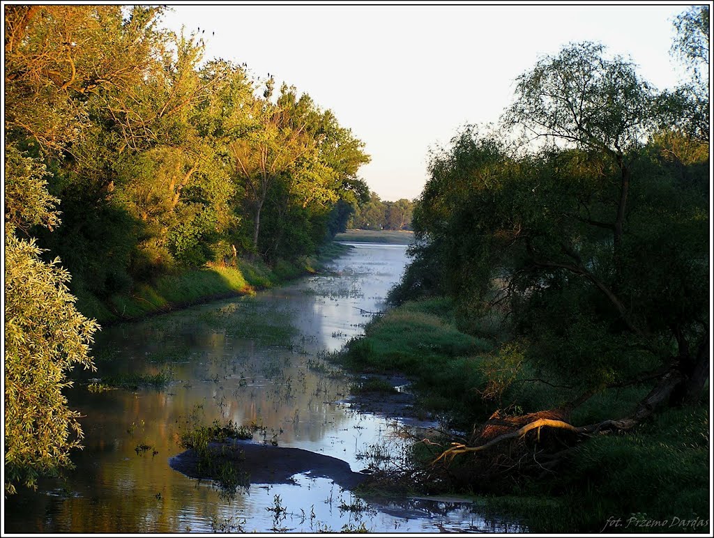
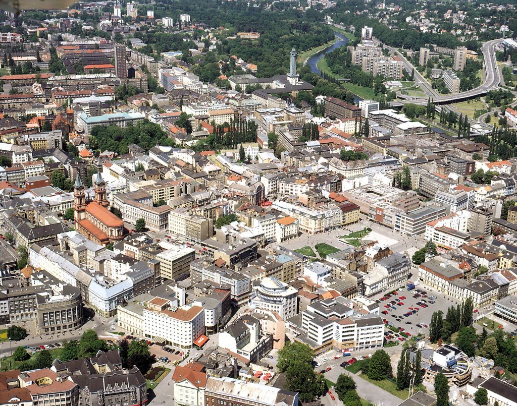
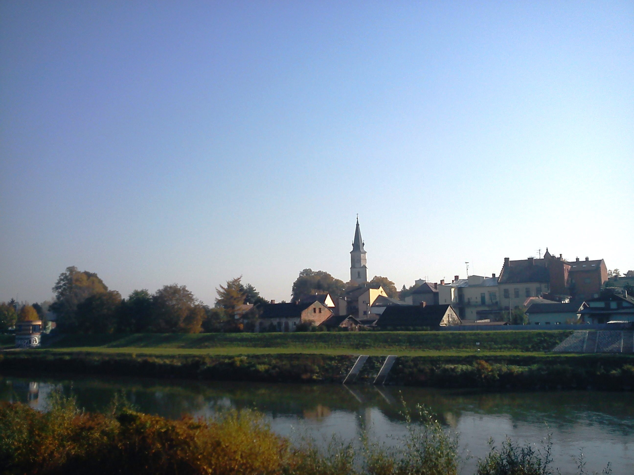
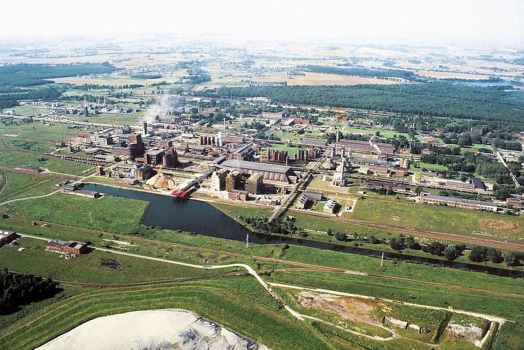
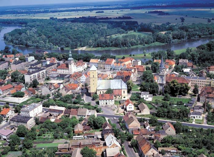
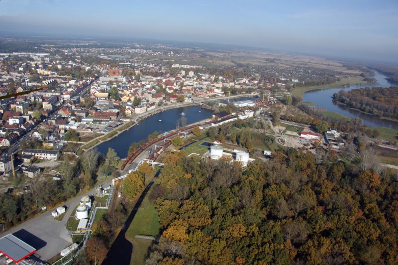
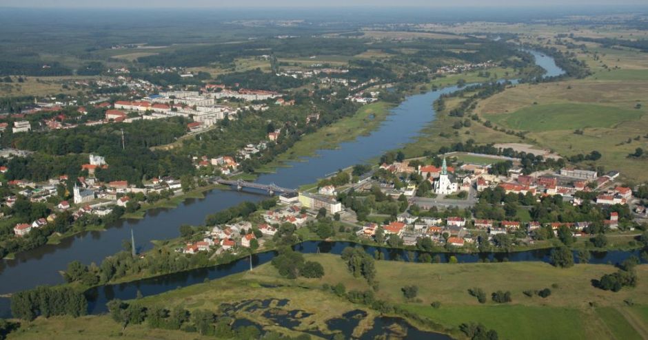
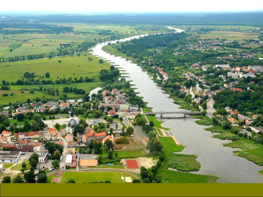
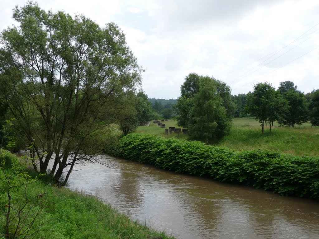
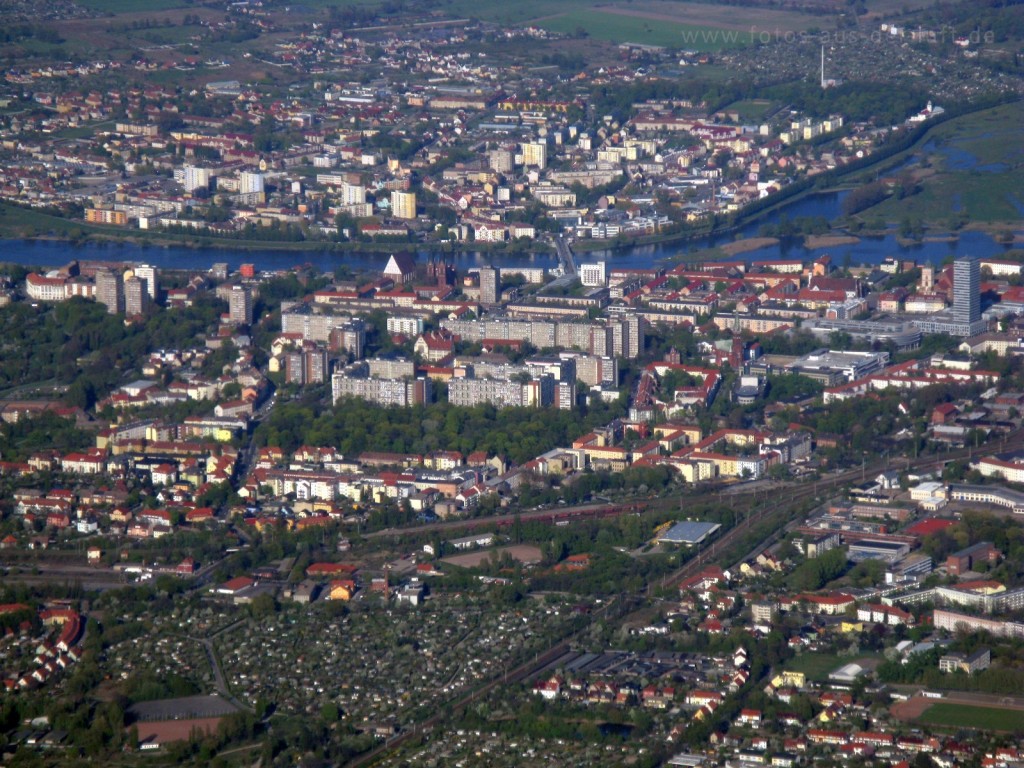
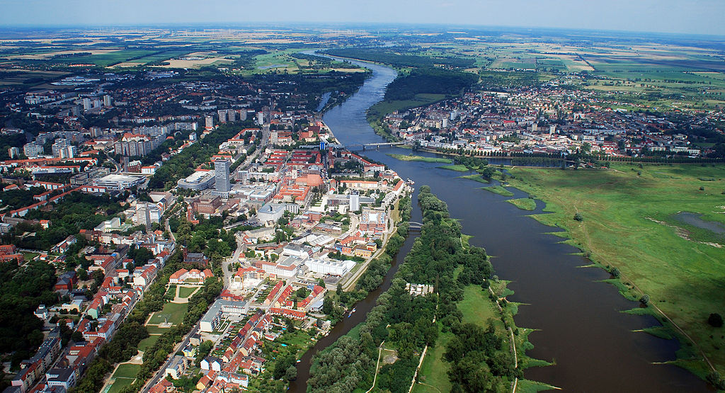
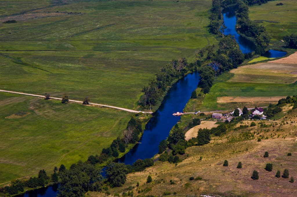
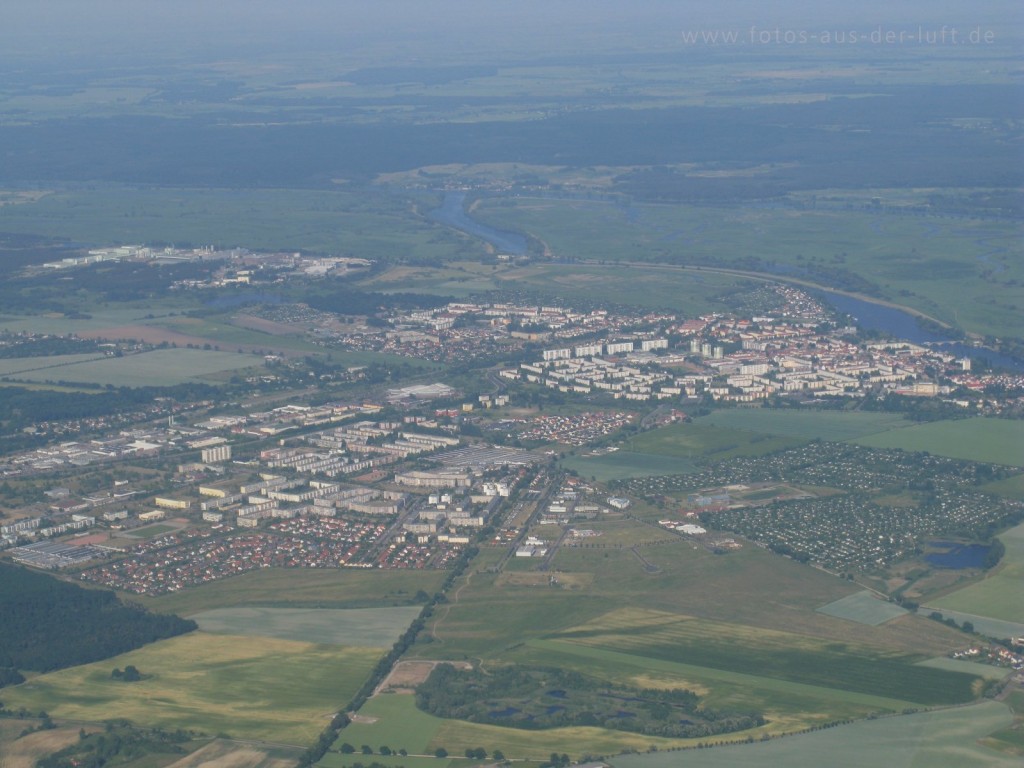
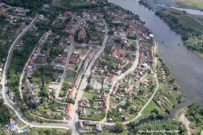
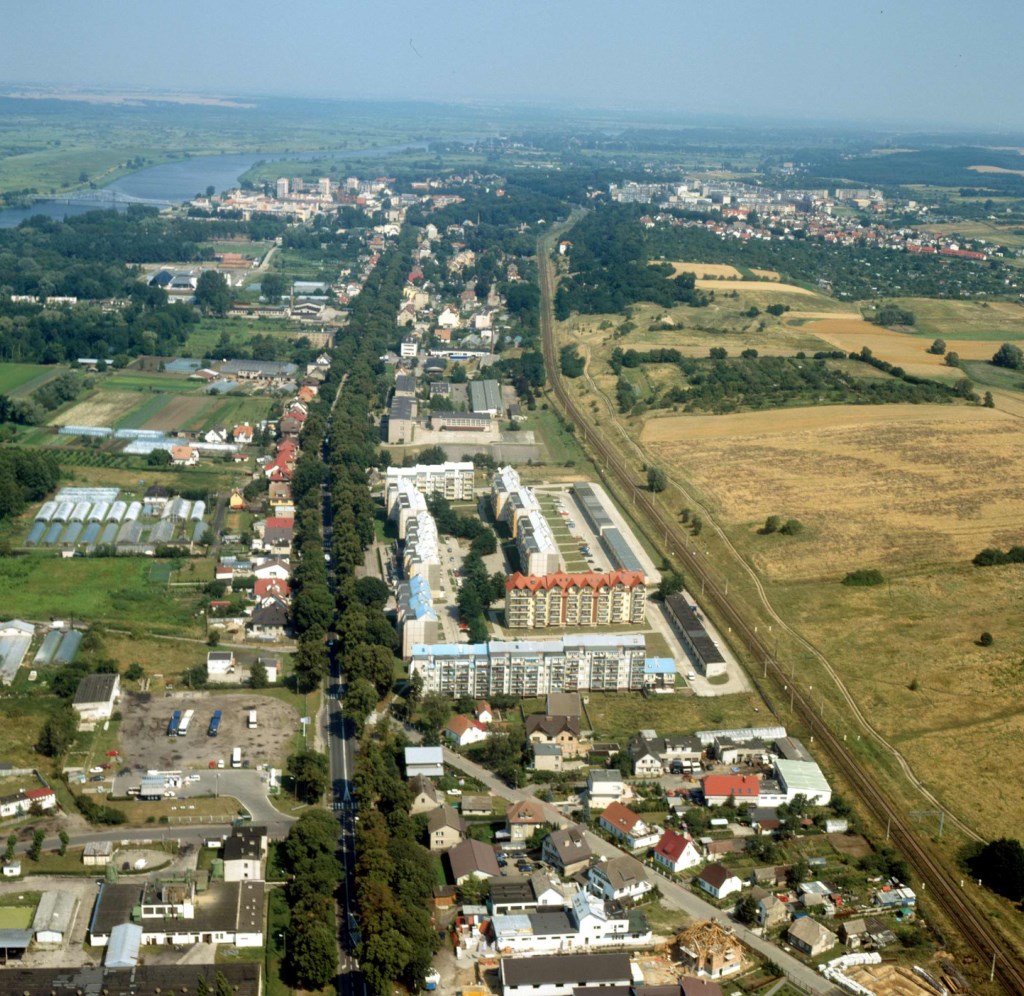
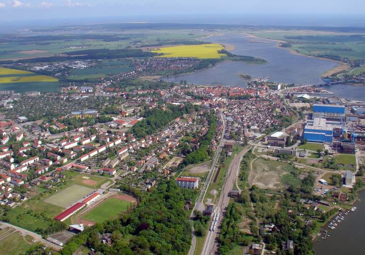
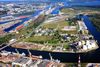
Una amplia red de canales comunica al Oder con la extensa red fluvial del centro y el este de Europa. El río, antiguo punto de encuentro entre los pueblos germánicos, eslavos y escandinavos, es una activa vía de comunicación entre las regiones industriales del sur de Polonia y el mar Báltico.
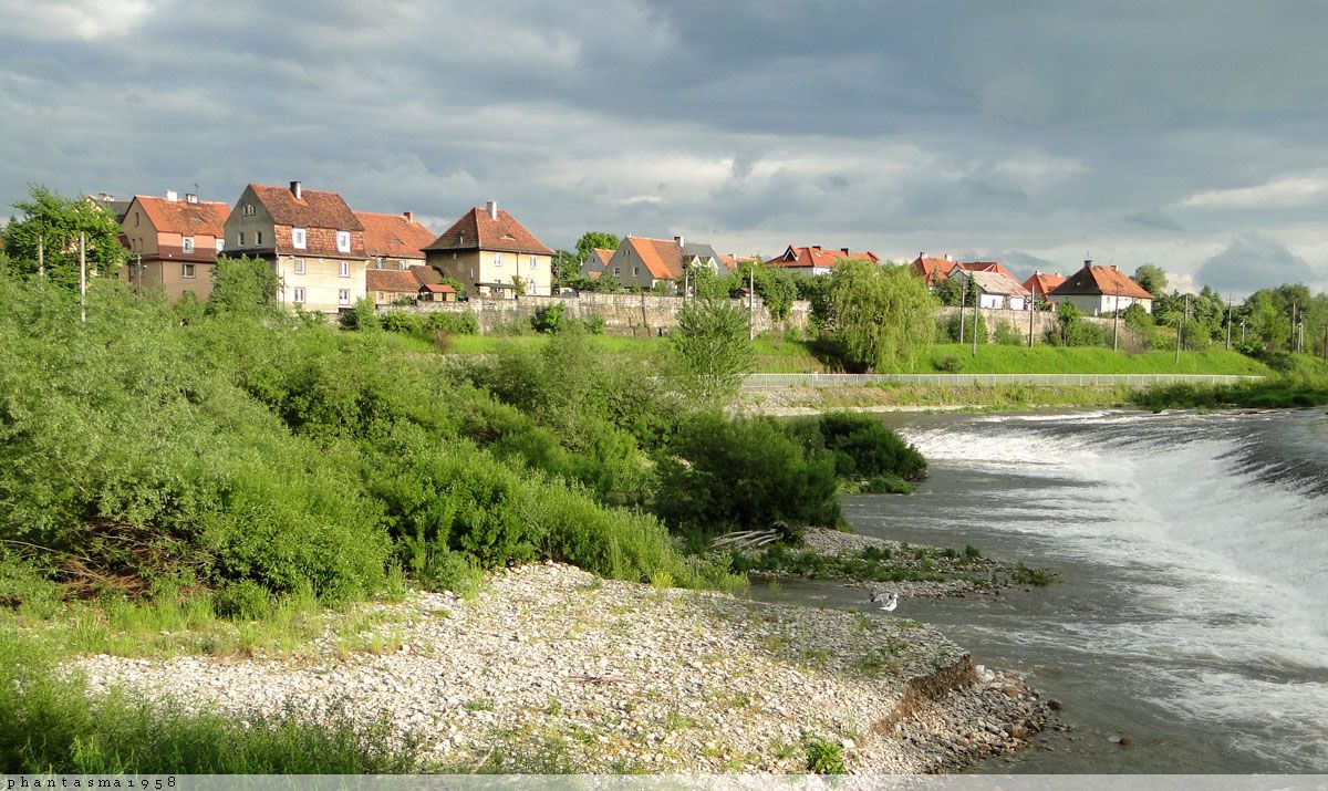
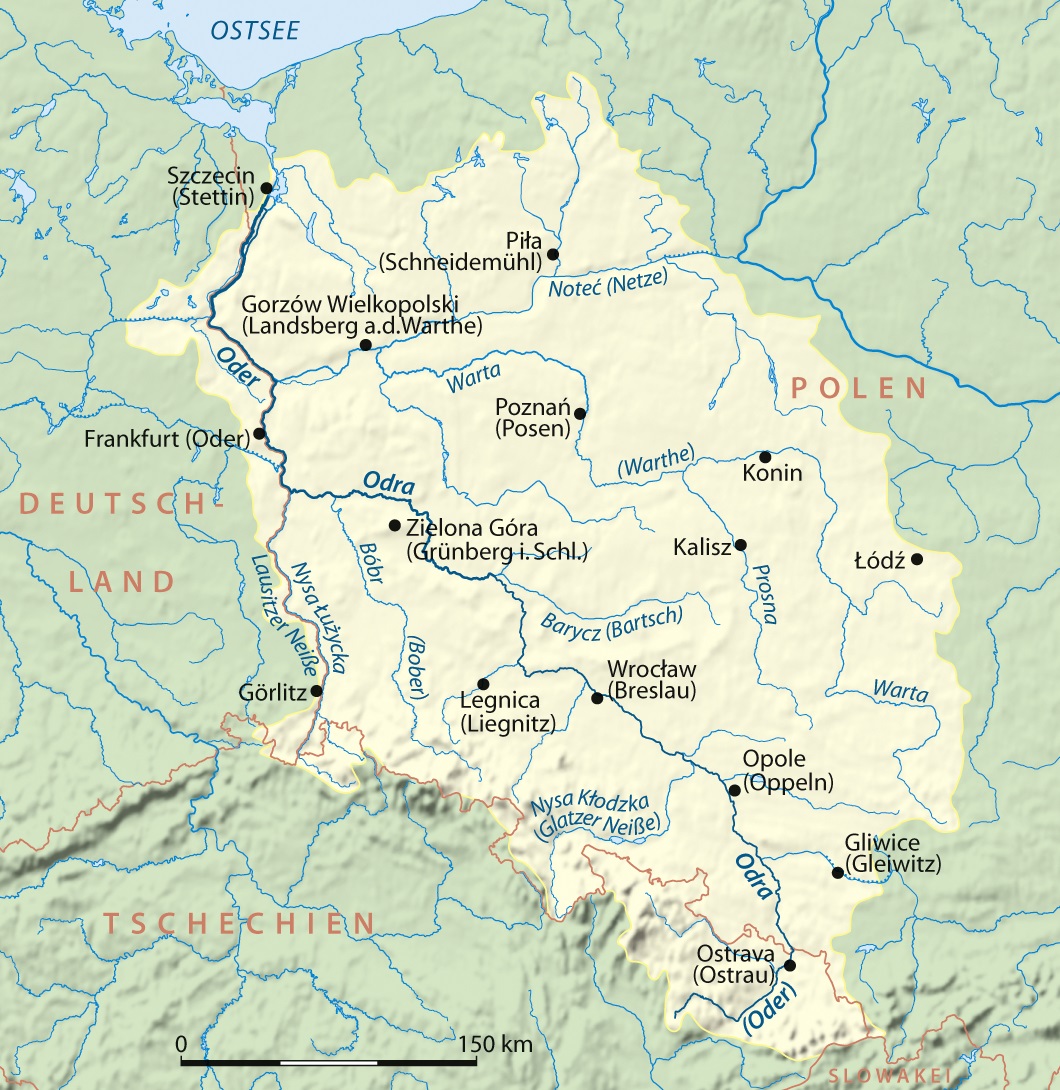
El río Oder, Odra en polaco, tiene una longitud de 854 km, de los cuales 741 recorren el territorio polaco. Su cuenca es de 119.000 km2, y está situada en un 90 % en Polonia. El caudal del río disminuye en verano y otoño, y en primavera se desborda ocasionalmente como consecuencia del deshielo. En el invierno, las aguas superficiales se hielan durante unos cuarenta días.
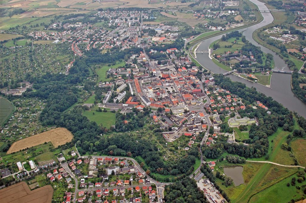
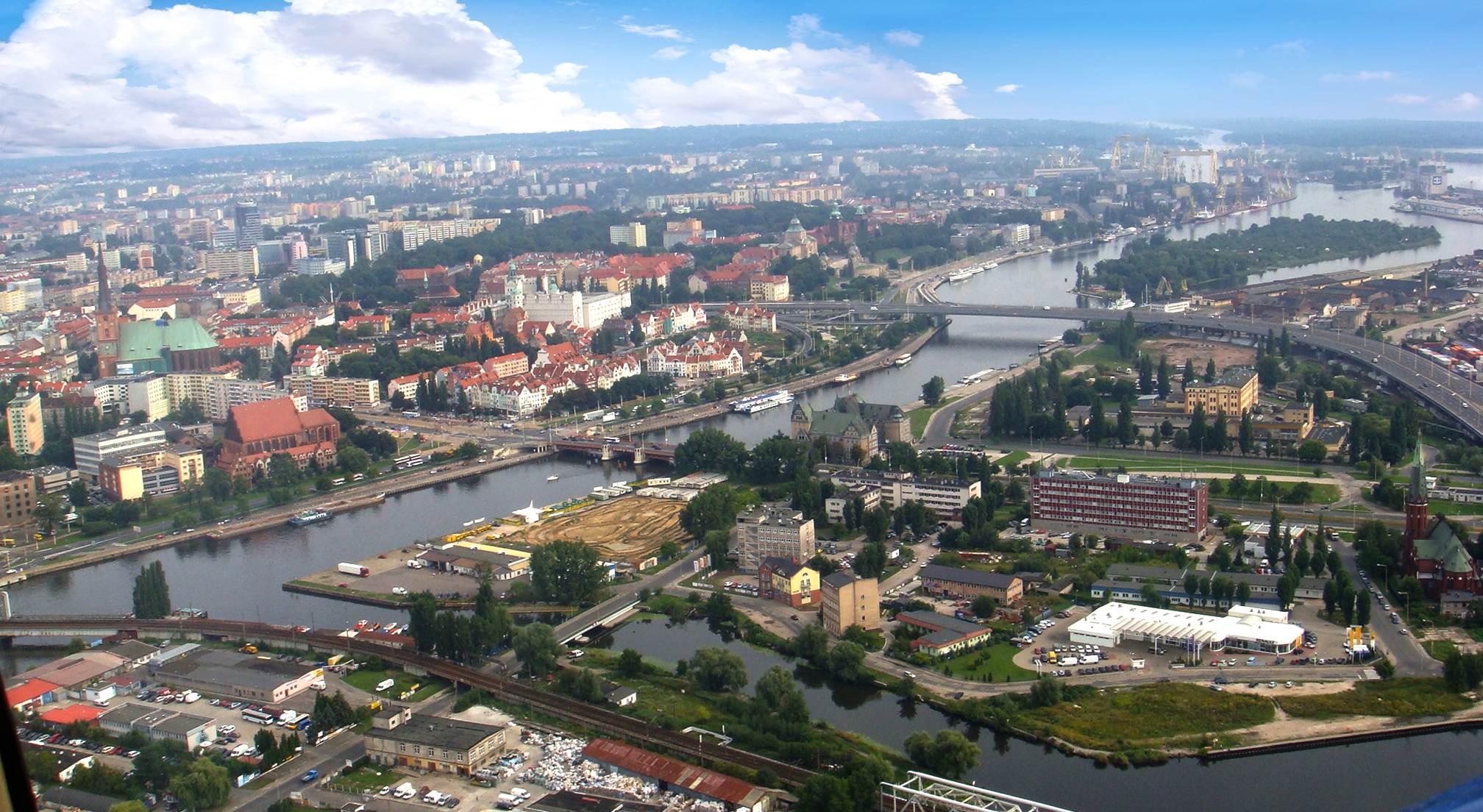
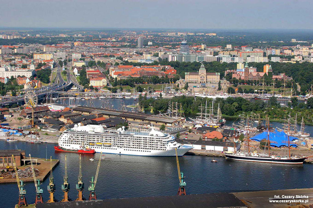
Nace el Oder en la República Checa, en las montañas de Hrubý Jeseník. Después de atravesar la abrupta región de Moravia, se dirige hacia el noroeste y prosigue su curso a lo largo de un ancho valle. Recibe al Olše y a continuación penetra en Polonia. En su curso medio, el Oder forma la frontera natural entre Polonia y Alemania a lo largo de 162 km hasta las cercanías de la ciudad de Szczecin. En este tramo, el río se divide en dos brazos antes de desembocar en el Báltico a través del golfo de Szczecin.
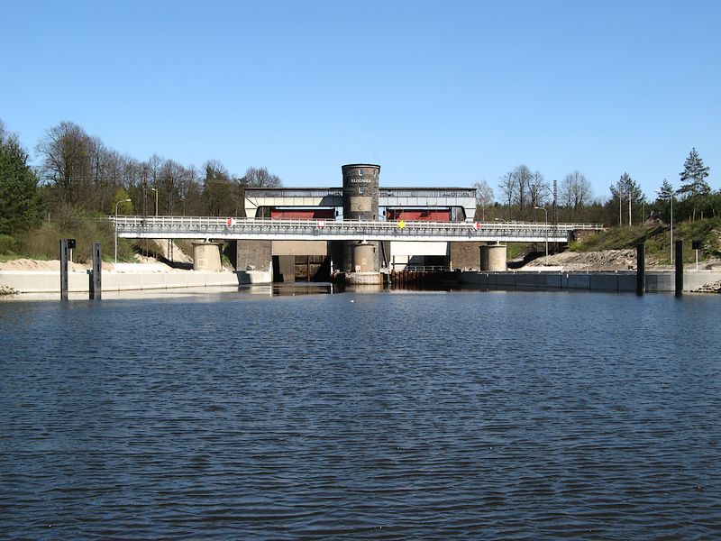
Numerosos ríos y canales comunican al Oder con el Vístula y el sistema fluvial de los territorios de la antigua Unión Soviética, así como con las vías acuáticas de Alemania oriental.
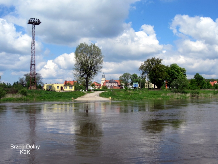
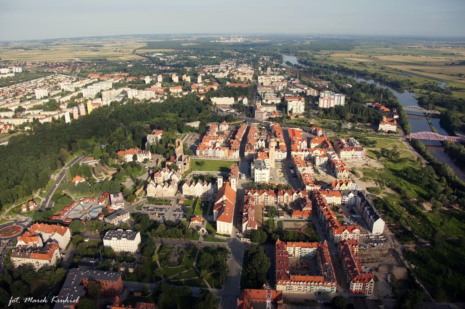
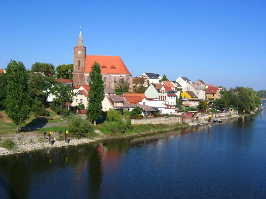
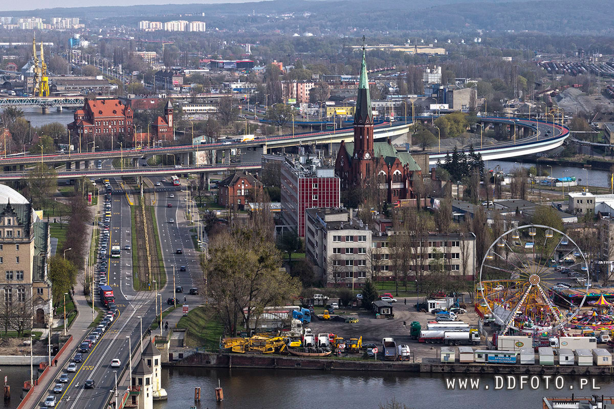
Sus principales afluentes son el Neisse por occidente, y el Olse y el Warta por oriente. El canal de Bydgoszcz une al Oder con el Vístula, y los de Oder-Spree y Oder-Havel lo comunican con Alemania y la Europa occidental. El río baña, entre otras, las ciudades de Ostrava, en la República Checa; Francfort del Oder, en el este de Alemania; y Racibórz, Opole, Brzeg, Wroclaw, Nowa Sól y Szczecin en Polonia.
http://www.entradagratis.com/Enciclopedia-de-Geografia/35849/ODER,-RIO.htm
El río Óder (u Odra) (en alemán: Oder, en polaco: Odra, en checo: Odra, en latín: Viadua, Viadrus, en latín medieval Odera, Oddera) es un río de Europa Central, que discurre en su mayor parte en Polonia.
Nace en la República Checa y recorre el oeste de Polonia. Forma parte de la frontera entre Polonia y Alemania, si bien a partir de Pargowo queda en territorio polaco. Finalmente, desemboca a través de la bahía de Pomerania (Stettiner Haff) en el mar Báltico. El principal afluente al suroeste del Óder es el río Varta.
http://es.wikipedia.org/wiki/Óder
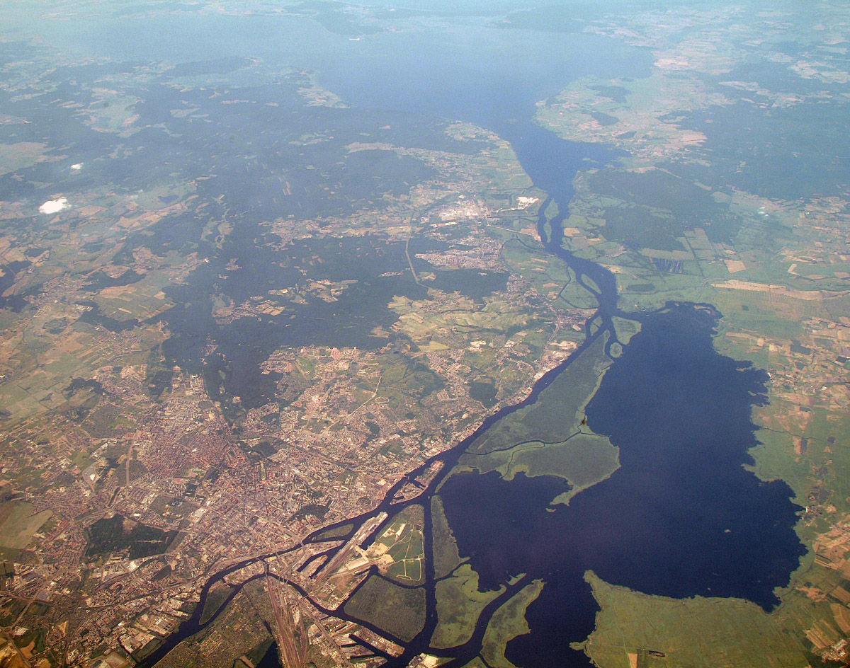
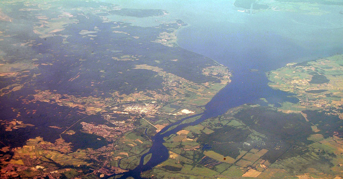
The Oder (German: Oder [ˈoːdɐ]; Czech/Polish: Odra) is a river in Central Europe. It rises in the Czech Republic and flows (generally north- and northwest-ward) through western Poland, later forming 187 kilometres (116 mi) of the border between Poland and Germany, part of the Oder-Neisse line. The river ultimately flows into the Szczecin Lagoon north of Szczecin and then into three branches (the Dziwna, Świna and Peene) that empty into the Gulf of Pomerania of the Baltic Sea.
Names
The Oder is known by several names in different languages, but the modern ones are very similar: English and German: Oder; Czech, Polish, and Lower Sorbian: Odra, Upper Sorbian: Wódra; Kashubian: Òdra (pronounced [ˈwɛdra]); Medieval Latin: Od(d)era; Renaissance Latin: Viadrus (invented in 1534). Claudius Ptolemaios gives for the localization of modern Oder a river Συήβος (Suebos, Latin: Suevus, from the name for the tribe of the Suebi), which resembles the modern name Świna for the main connection from the Oder Lagoon to the Baltic Sea. A mouth named Οὐιαδούα (or Οὐιλδούα, graphical similarity of Α and Λ), therefore Latin Viadua or Vildua, is localized by him at one third of the distance between Suebos and Vistula, maybe it is modern Wieprz.[1][2] In Old Church Slavonic language, the name of the river is Vjodr.[3]
Geography
The Oder is 854 kilometres (531 miles) long: 112 km (70 miles) in the Czech Republic, 742 km (461 miles) in Poland (including 187 km (116 miles) on the border between Germany and Poland) and is the second longest river in Poland (after the Vistula). It drains a basin of 118,861 square kilometres (45,892 sq mi), 106,056 km2 (40,948 sq mi) of which are in Poland (89%), 7,217 km2 (2,786 sq mi) in the Czech Republic (6%), and 5,587 km2 (2,157 sq mi)in Germany (5%). Channels connect it to the Havel, Spree, Vistula system and Kłodnica. It flows through Silesian, Opole, Lower Silesian, Lubusz, and West Pomeranian voivodeships of Poland and the states of Brandenburg and Mecklenburg-Vorpommern in Germany.
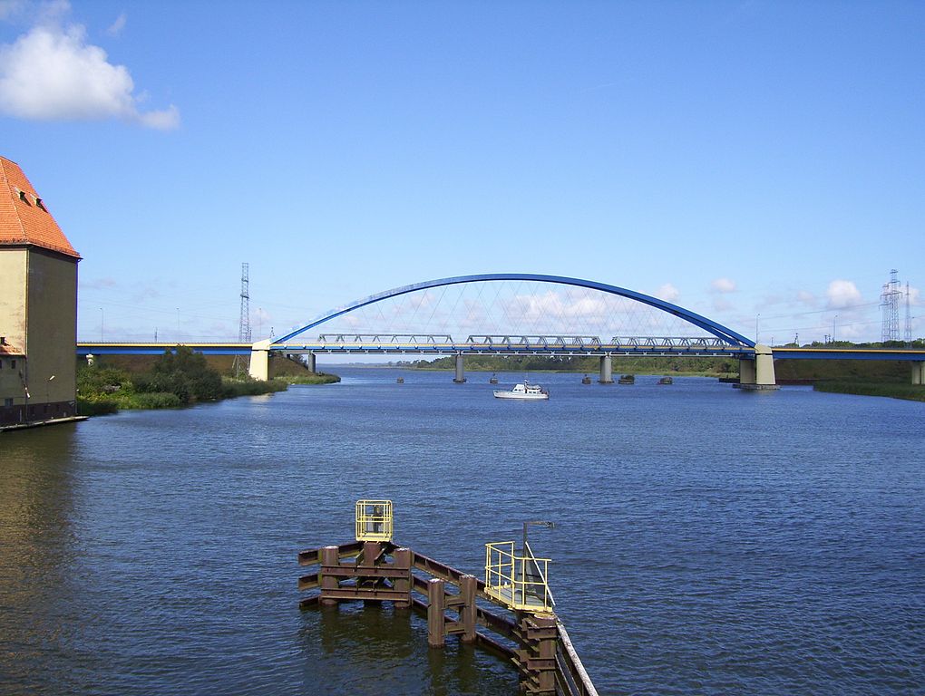
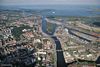
Oder River view from Ziegenwerder Island in Frankfurt (Oder), Germany to Słubice, Poland
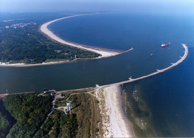
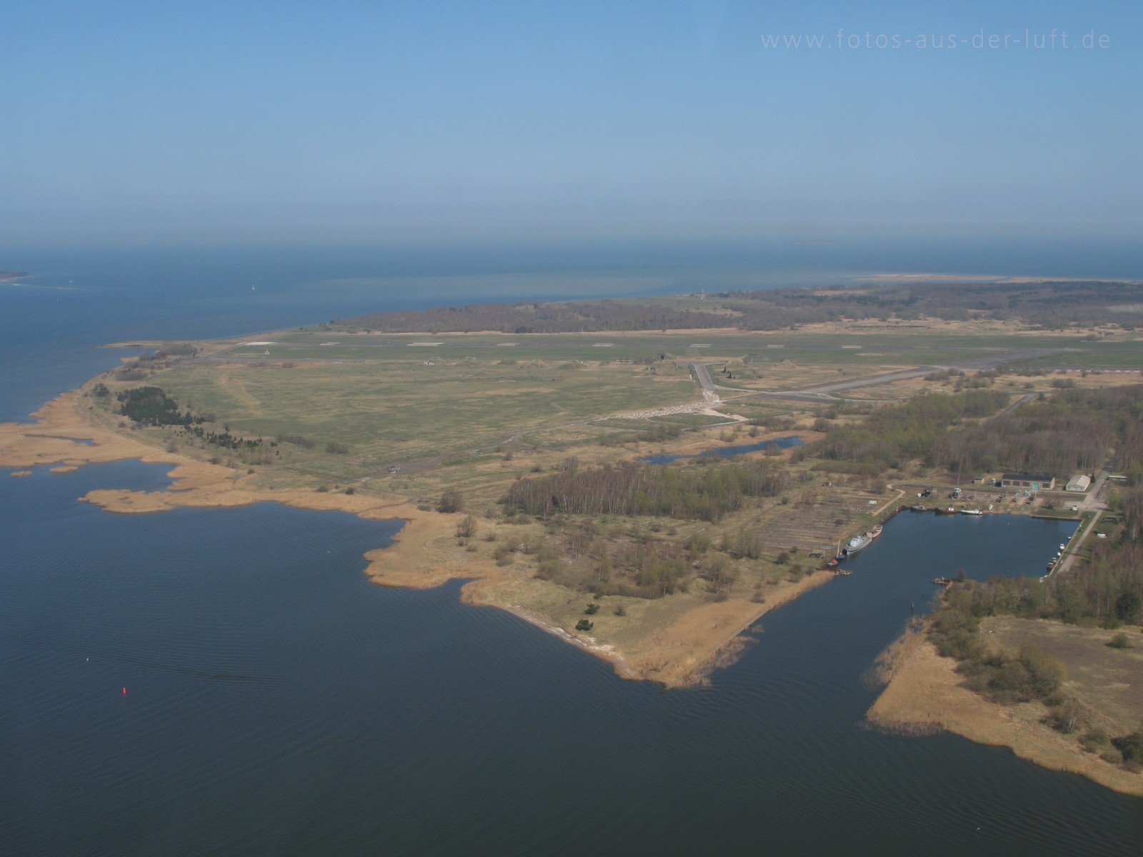
The main branch empties into the Szczecin Lagoon near Police. The Szczecin Lagoon is bordered on the north by the islands of Usedom (west) and Wolin (east). Between these two islands, there is only a narrow channel (Świna) going to the Bay of Pomerania, which forms a part of the Baltic Sea.
Navigation
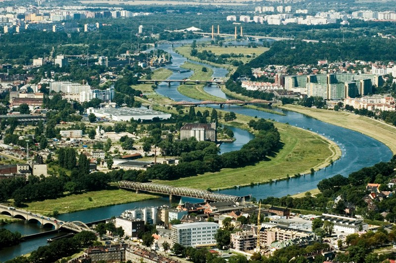
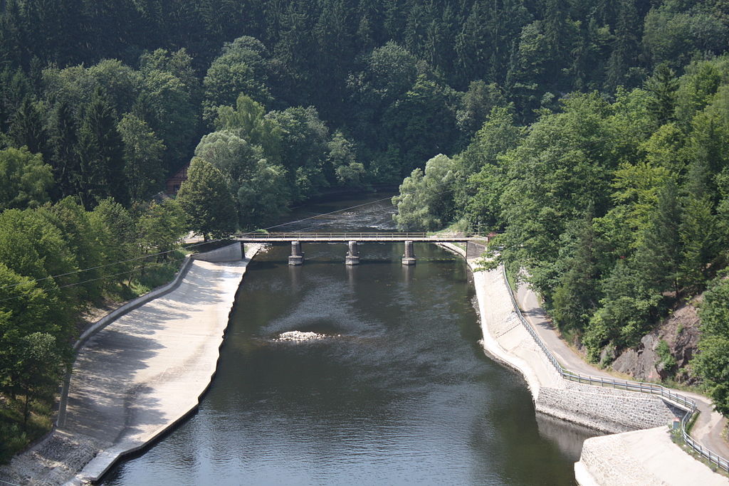
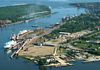
The Oder is navigable over a large part of its total length, as far upstream as the town of Koźle, where the river connects to the Gliwicki Canal. The upstream part of the river is canalized and permits larger barges (up to CEMT Class IV) to navigate between the industrial sites around the Wrocław area.
Further downstream the river is free flowing, passing the towns of Eisenhüttenstadt (where the Oder–Spree Canal connects the river to the Spree in Berlin) and Frankfurt upon Oder. Downstream of Frankfurt the Warta River forms a navigable connection with Poznań and Bydgoszcz for smaller vessels. At Hohensaaten the Havel-Oder-Wasserstrasse connects with the Berlin waterways again.
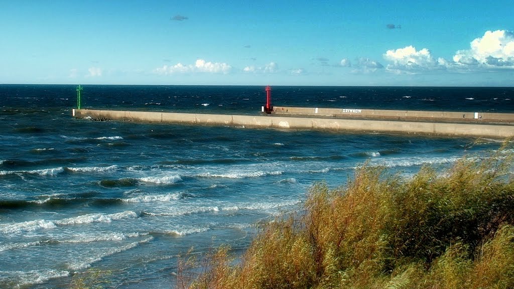
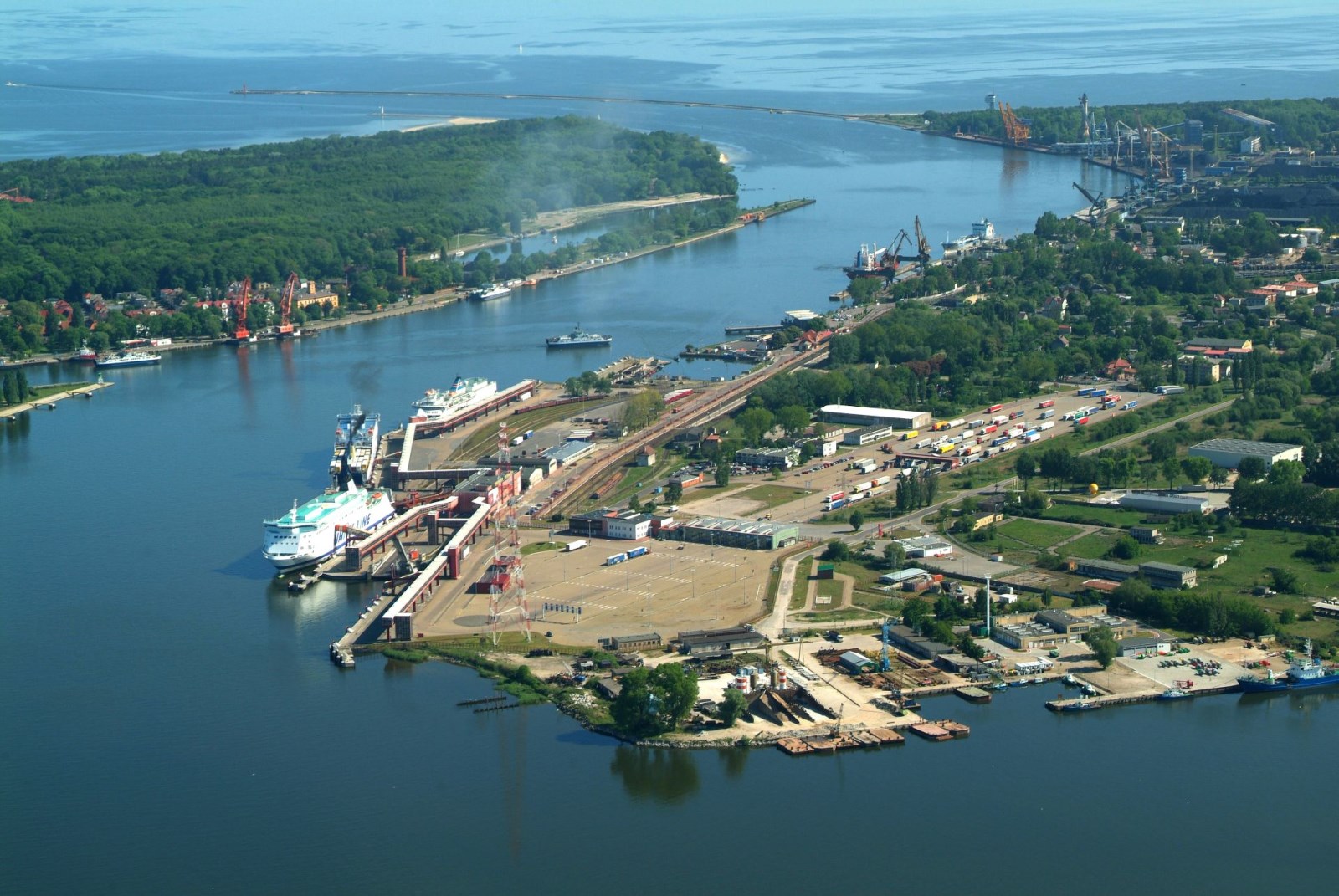
Near its mouth the Oder reaches the city of Szczecin, a major maritime port. The river finally reaches the Baltic Sea through the Szczecin Lagoon and the river mouth at Świnoujście.[4]
History
The river in Germania Magna was known to the Romans as the Viadrus or Viadua in Classical Latin, as it was a branch of the Amber Road from the Baltic Sea to the Roman Empire (see via). In German language it was and is called the Oder, written in older records as Odera or Oddera in Medieval Latin documents. It was mentioned in the Dagome iudex, which described territory of the Duchy of Poland under Mieszko I of Poland ca. 990, as a part of duchies western frontier.
Before Slavs settled along its banks, Oder was an important trade route and towns in Germania were documented along with many tribes living between the rivers Albis (Elbe), Oder and Vistula. Centuries later, after Germanic tribes were long gone, the Bavarian Geographer (ca. 845) specifies the following Westslavic peoples: Sleenzane, Dadosesani, Opoloni, Lupiglaa, and Gоlеnsizi in Silesia and Wolinians and Pyrzycans in Western Pomerania. A document of the Bishopric of Prague (1086) mentions Zlasane, Trebovyane, Poborane, and Dedositze in Silesia.
In the 13th century, the first dams were built to protect agricultural lands.
The Finow Canal, built for the first time in 1605, connects Oder and Havel. After completion of the more straight Oder Havel Canal in 1914, its economic relevance decreased.
The earliest important undertaking with a view of improving the waterway was due to the initiative of Frederick the Great, who recommended the diversion of the river into a new and straight channel in the swampy tract of land known as Oderbruch near Küstrin. The work was carried out in the years 1746-1753, a large tract of marshland being brought under cultivation, a considerable detour cut off and the main stream successfully confined to a canal.
In the late 19th century three additional alterations were made to the waterway:
The canalization of the main stream at Breslau, and from the confluence of the Glatzer Neisse to the mouth of the Klodnitz Canal, a distance of over 50 miles (80 km). These engineering works were completed in 1896.
During 1887-1891 the Oder–Spree Canal was made to connect the two rivers named.
The deepening and regulation of the mouth and lower course of the stream.
By the Treaty of Versailles the navigation on the Oder became subject to International Commission of the Oder.[5] Following the articles 363 and 364 of the Treaty Czechoslovakia was entitled to lease in Stettin (now Szczecin) its own section in the harbour, then called Tschechoslowakische Zone im Hafen Stettin.[6] The contract of lease between Czechoslovakia and Germany, and supervised by the United Kingdom, was signed on February 16, 1929 and would end in 2028, however, after 1945 Czechoslovakia did not regain this legal position, de facto abolished in 1938/1939.
At the 1943 Tehran Conference the allies decided that the new Eastern border of Germany would run along the Oder[7] but after World War II, the Oder and the Lusatian Neisse formed the Oder-Neisse line, which was designated by the victorious allies at the Potsdam Conference as the new border between Poland and Germany. The German populations east of these two rivers were evacuated by the Nazis or fled before the approaching Red Army. After the war, the remaining population was forcibly expelled in accordance with the Potsdam Agreement.[8] East Germany confirmed the border with Poland in 1950, then West Germany, after a period of refusal, finally accepted the border in 1970. In 1990 newly reunified Germany and the Republic of Poland signed a treaty recognizing it as their border.
http://en.wikipedia.org/wiki/Oder
http://pl.wikipedia.org/wiki/Odra
Vídeo:
Contador: 6248
Inserción: 2013-09-27 17:35:40
Lugares a visitar en un radio de 100 km (en línea recta)


Mapa de los lugares a 100 km (en línea recta)
Mostrando Registros desde el 1 hasta el 0 de un total de 0
Visitas RSS |
Más visitados Basílica de San Marcos  155485 Catedral de Notre Dame (París)  144866 Torre de Pisa  132096 Monte Saint-Michel  101201 Presa de las Tres Gargantas  82159 |
Incorporaciones |
Comentarios hazola  Cúpula de la Roca gracias me... gera  Buenos Aires las mejores fotos de la mejor ciudad del... Daniel M. - BRASIL  San Francisco ... PEQUE  Presa Chicoasén SERA QUE ALGUIEN ME PUEDE DAR MAS INFORMACIÓN DE ESTE PROYECTO ESTUDIO EN LA UNACH Y ES PARA UN... Mery  Huaca Pucllana Muy interesante, muy buena la información y... |


