
Nombre:
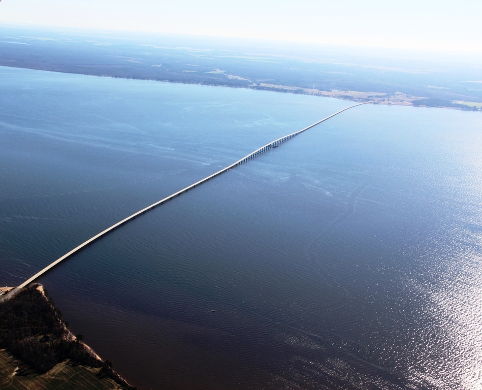
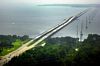
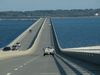
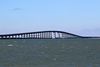
Puente Albemarle Sound
Otro:
Localización:
View Larger Map
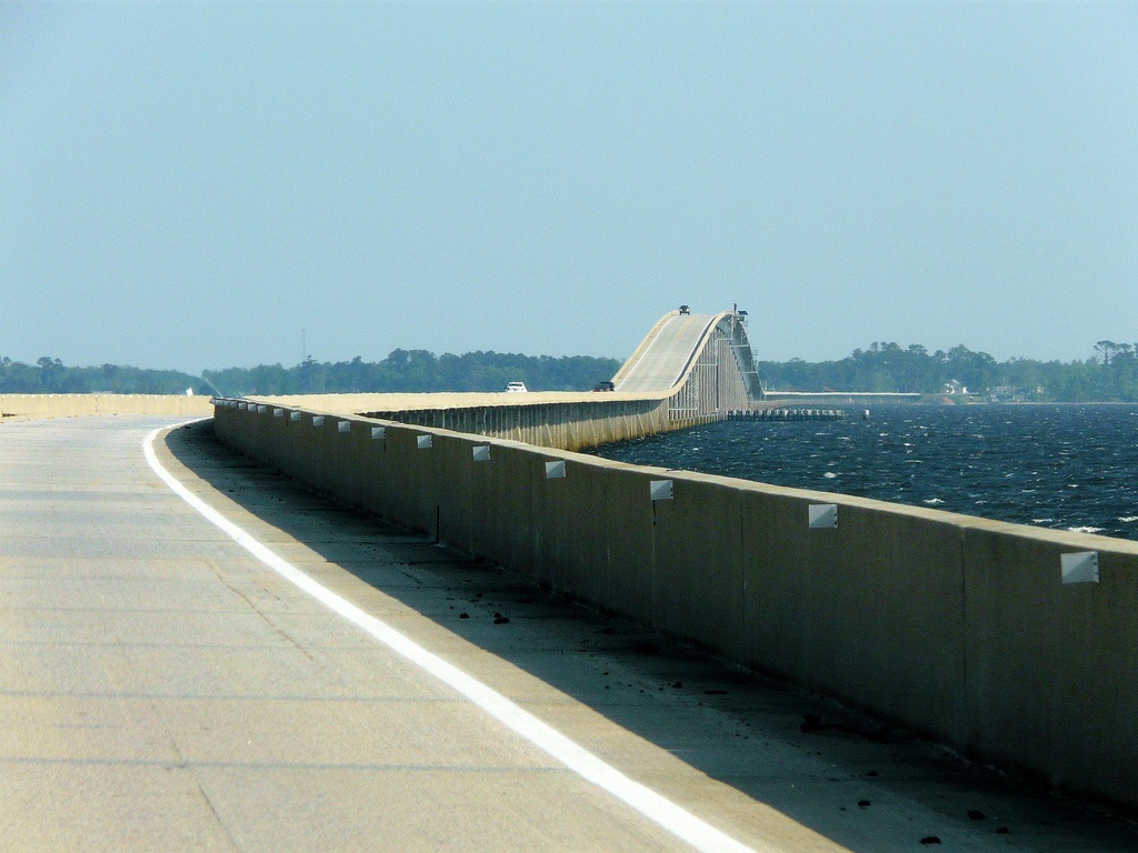
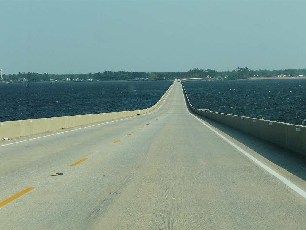
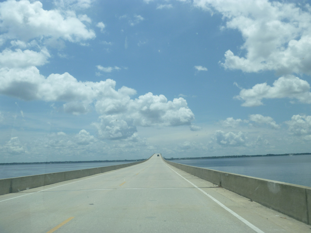
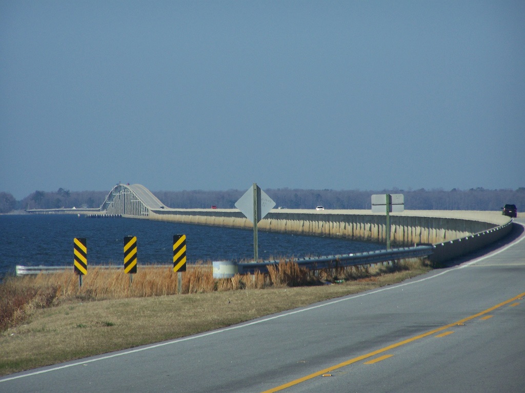
Récord: 5627 m
Tipo: Puentes
Categoría:
Foto:
Voto:
Continente: América
País: Estados Unidos
Localización: Carolina del Norte
Año: 1990
Estado: Terminado
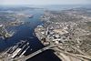
Descripción:Alligator River and the Albemarle Sound
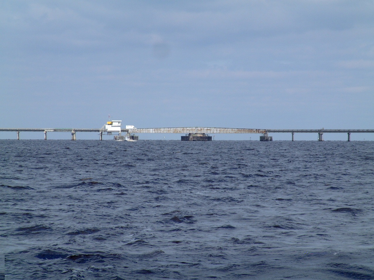
The Alligator River-Pungo River Canal is scenic and heavily wooded at it's upper end. Farther on are areas that have burned in the past, but now they have their second growth. The canal is relatively narrow, and boats dragging huge wakes have a tendency to damage the banks. Each year, more and more trees topple into the water.
The last six miles of the Alligator River-Pungo River Canal are shallow, especially along the south edge. We keep a close eye on the depth sounder and stick to the center of the channel and squeeze to the north side carefully as we pass the tug "Lisa Moran."
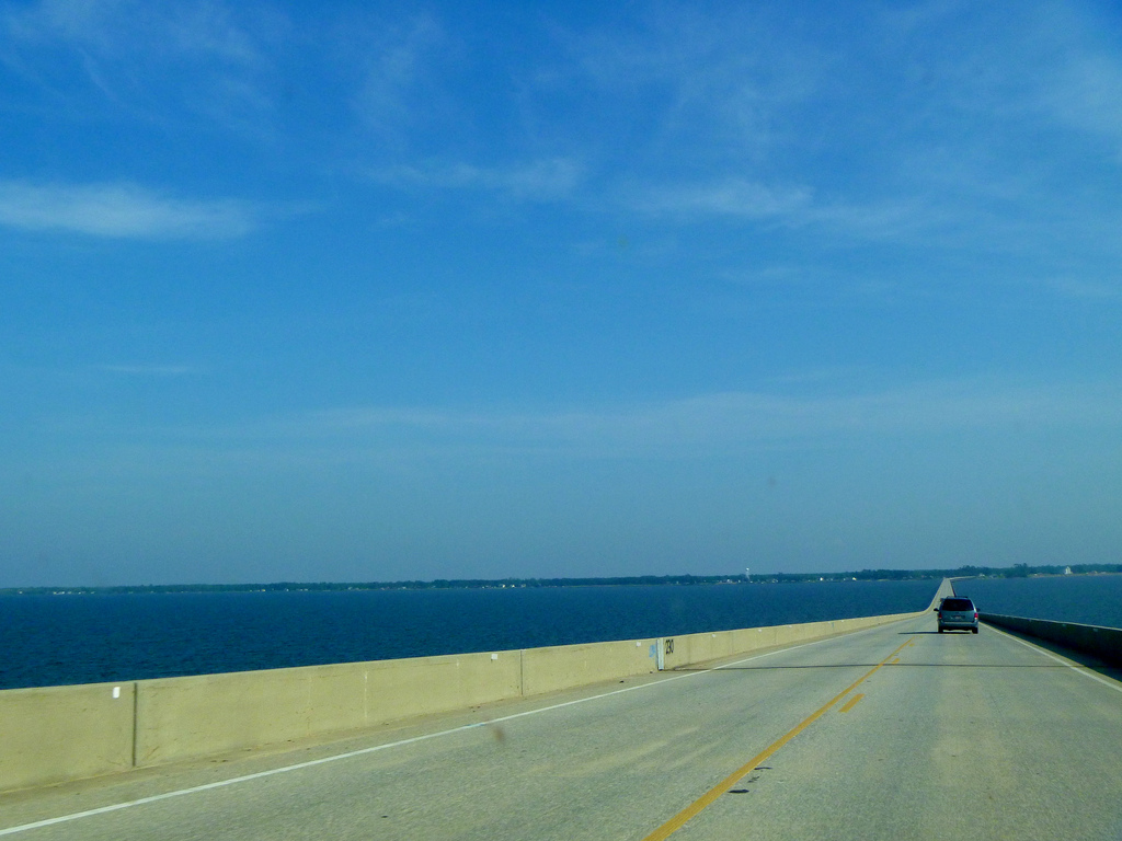
The Alligator River offers limited protection, especially in any northerly or easterly wind. It is not a spot to wait out a cold front passage, nor is a refuge if the Alligator River Bridge cannot open because of strong winds. It was a very rough fifteen mile passage, with winds gusting to 33 knots and no where to hide. Then the bridge tender informs the boats heading north that he might not open the bridge which would allow us to get to the marina on the other side. We were lucky that the bridge tender shift change brought in a new guy that opened the bridge.
http://cruisingonkarma.blogspot.com.es/2012/04/aligator-river-and-albemarle-sound.html
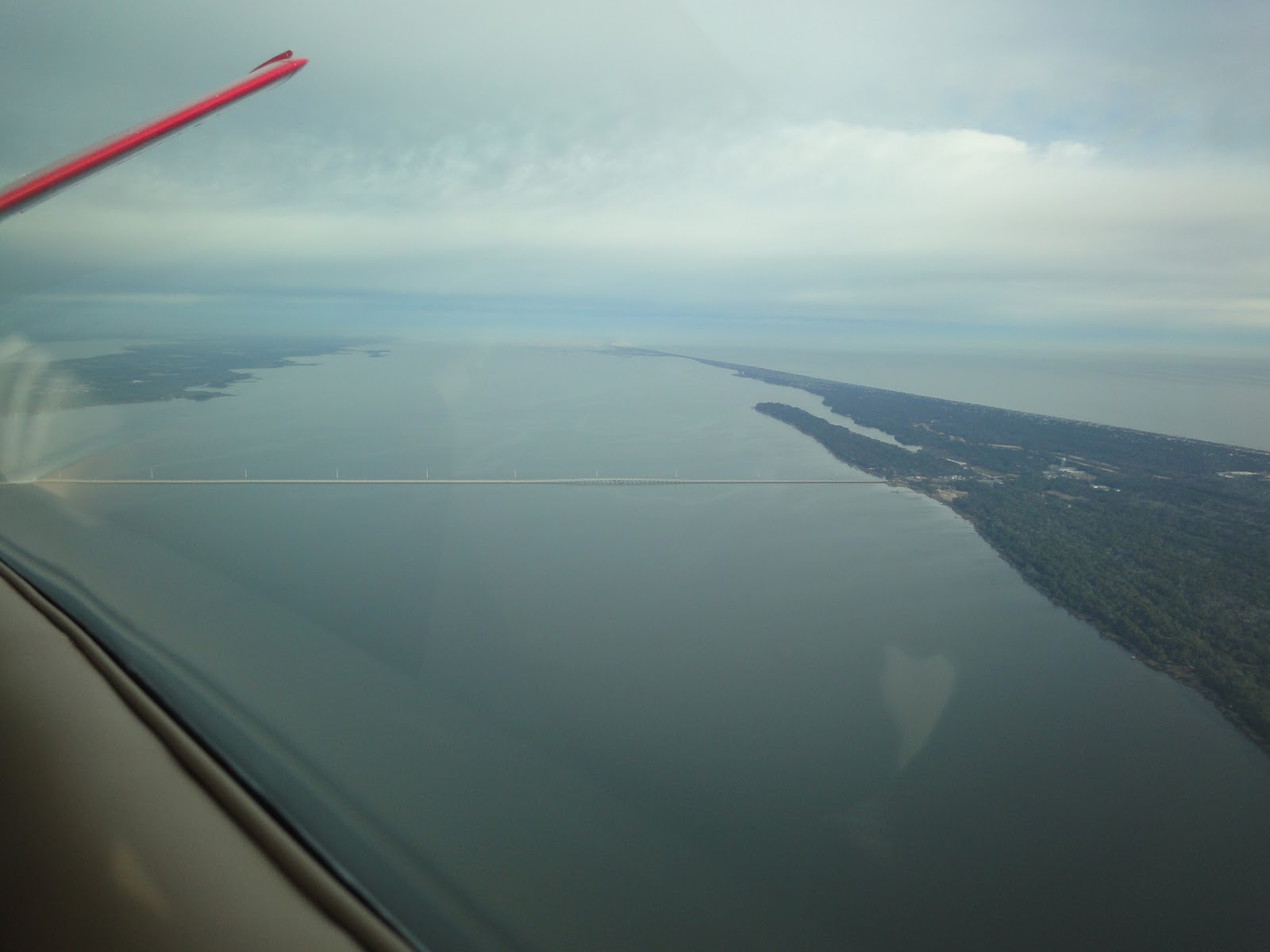
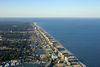
Albemarle Sound is a large estuary on the coast of North Carolina in the United States located at the confluence of a group of rivers, including the Chowan and Roanoke. It is separated from the Atlantic Ocean by the Outer Banks, a long barrier peninsula upon which the town of Kitty Hawk is located, at the eastern edge of the sound. Roanoke Island is situated at the southeastern corner of the sound, where it connects to Pamlico Sound. Much of the water in the Albemarle Sound is brackish or fresh, as opposed to the saltwater of the ocean, as a result of river water pouring into the sound.
http://en.wikipedia.org/wiki/Albemarle_Sound
http://www.halfkoreanspanishlovingamerican.com/2011/02/meandering-about-carolinas-altitude.html
https://www.flickr.com/photos/12636969@N04/tags/albemarlesound/
Vídeo:
Contador: 6867
Inserción: 2014-02-19 13:22:36
Lugares a visitar en un radio de 100 km (en línea recta)

Mapa de los lugares a 100 km (en línea recta)
Mostrando Registros desde el 1 hasta el 0 de un total de 0
Visitas RSS |
Más visitados Basílica de San Marcos  155193 Catedral de Notre Dame (París)  144531 Torre de Pisa  131819 Monte Saint-Michel  100882 Presa de las Tres Gargantas  81834 |
Incorporaciones Flagstaff  62 Sioux Falls  139 Castillo de Duivenvoorde  88 Basílica de la Merced (Lima)  102 Presa de Ikehara  100 |
Comentarios Anya155Kl  Forum 66 Hello friends! I came across a 155 valuable resource that I think you should check out. This... hazola  Cúpula de la Roca gracias me... gera  Buenos Aires las mejores fotos de la mejor ciudad del... Daniel M. - BRASIL  San Francisco ... PEQUE  Presa Chicoasén SERA QUE ALGUIEN ME PUEDE DAR MAS INFORMACIÓN DE ESTE PROYECTO ESTUDIO EN LA UNACH Y ES PARA UN... |


