Nombre:
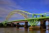
Vía navegable del Aire y Calder
Otro:
Localización:
Récord: 55 km
Tipo: Canales
Categoría:
Foto:
Voto:
Continente: Europa
País: Reino Unido
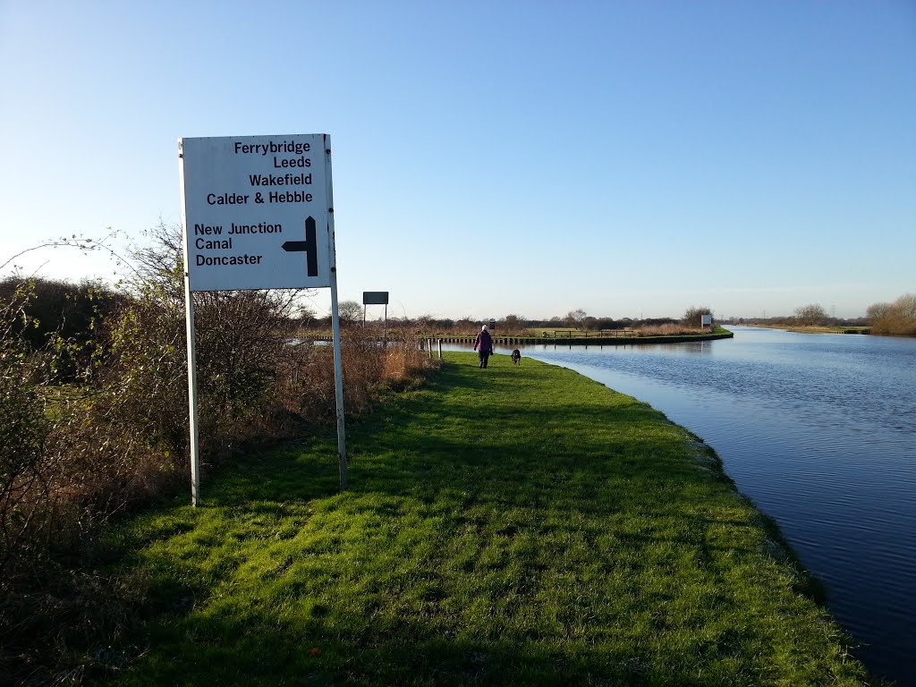
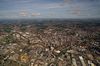
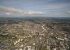
Localización: Une Leeds con Wakefield y Goole
Año: 1704
Estado: Terminado
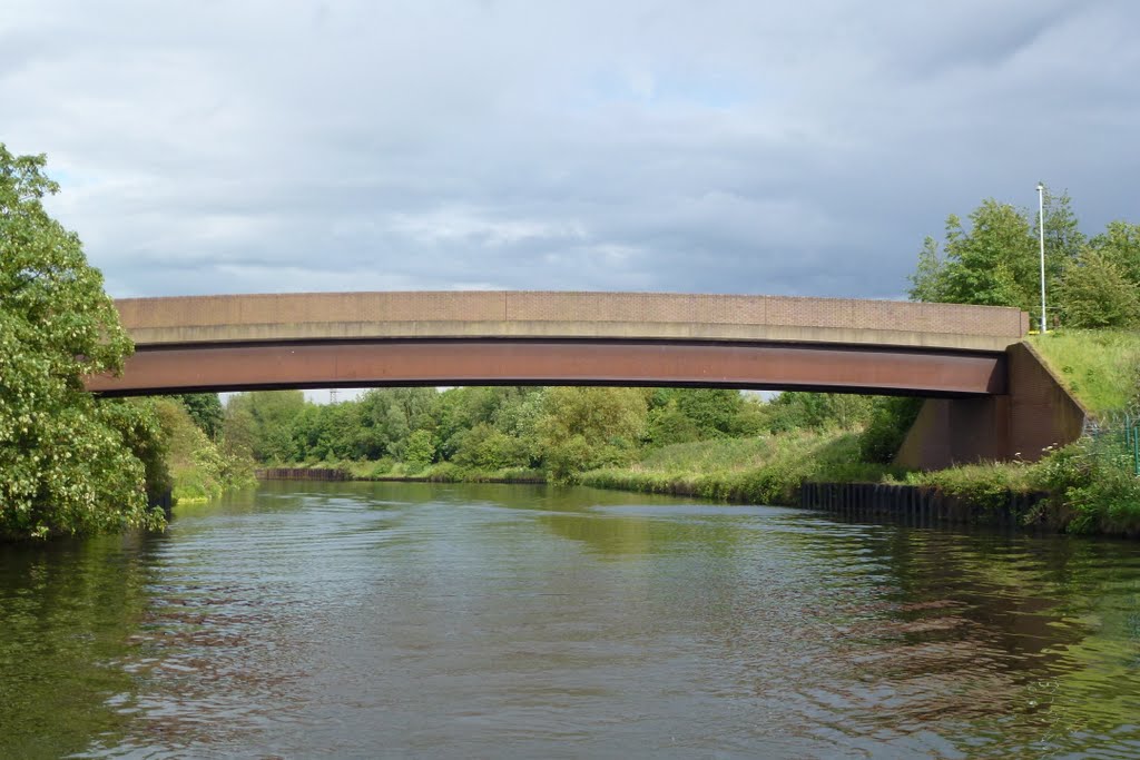
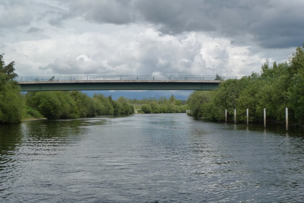
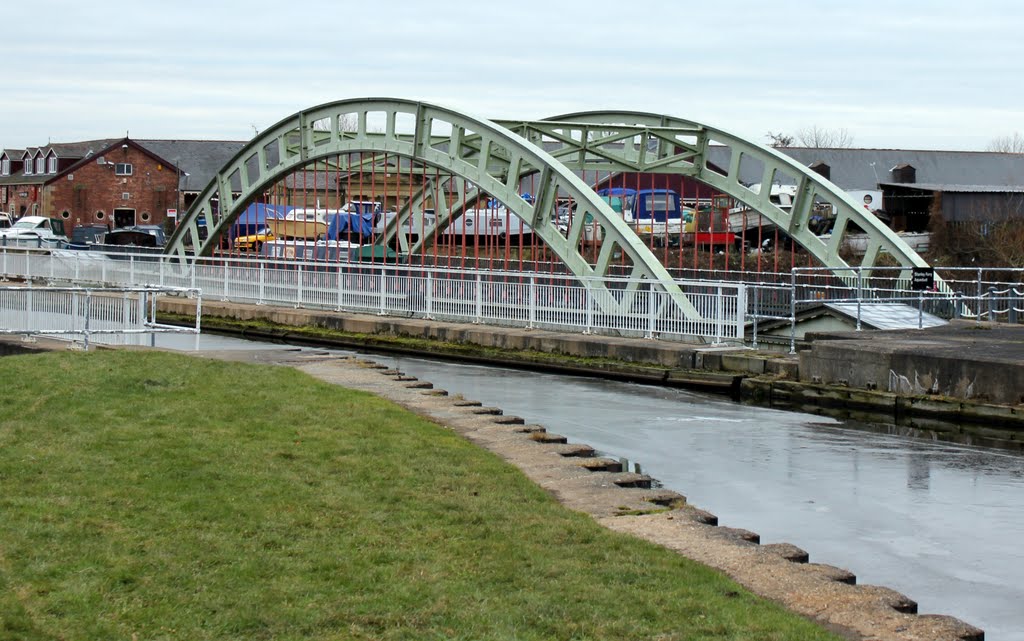
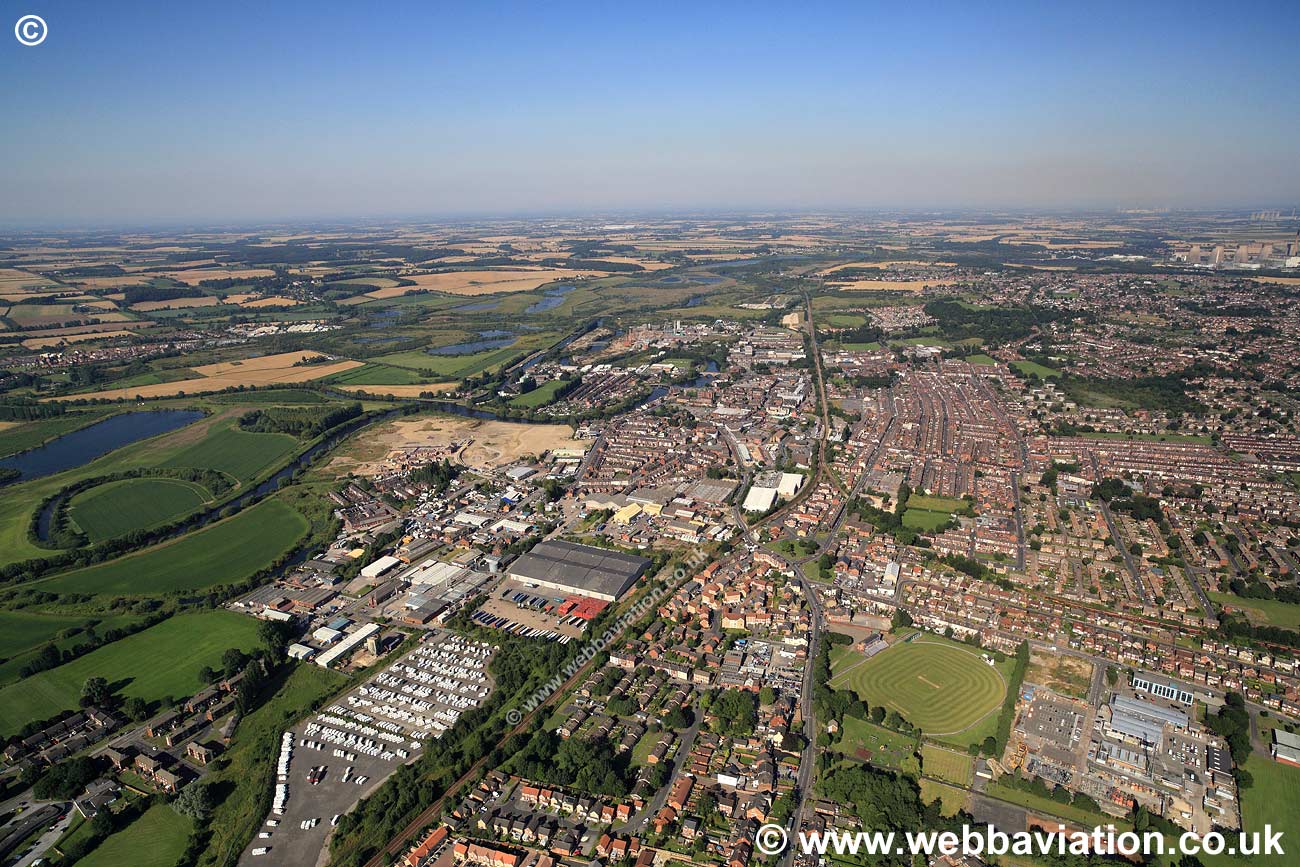
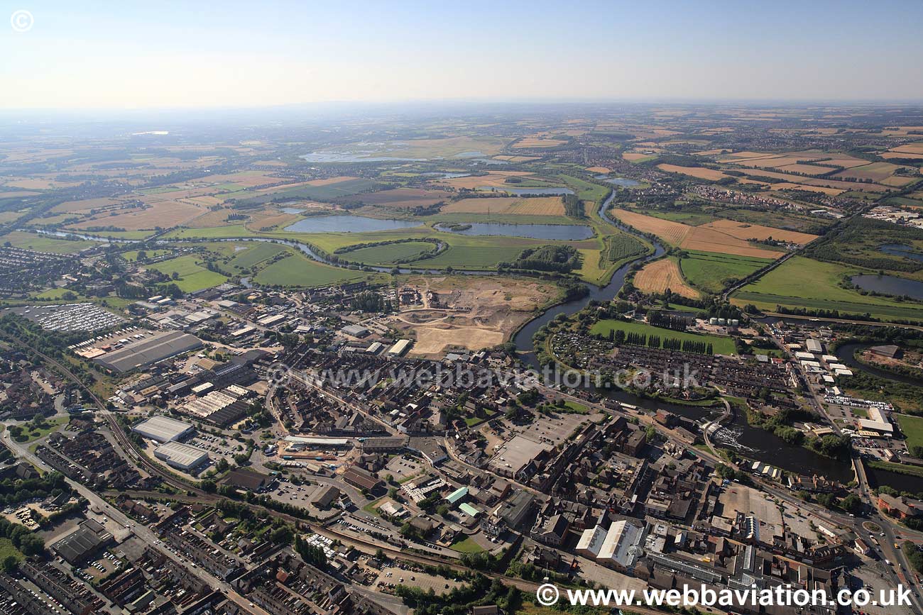
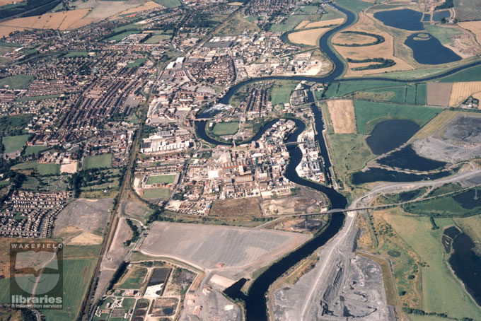
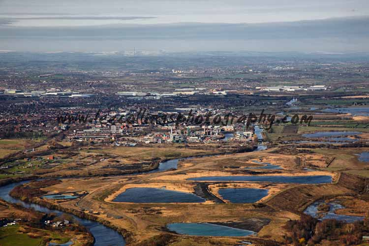
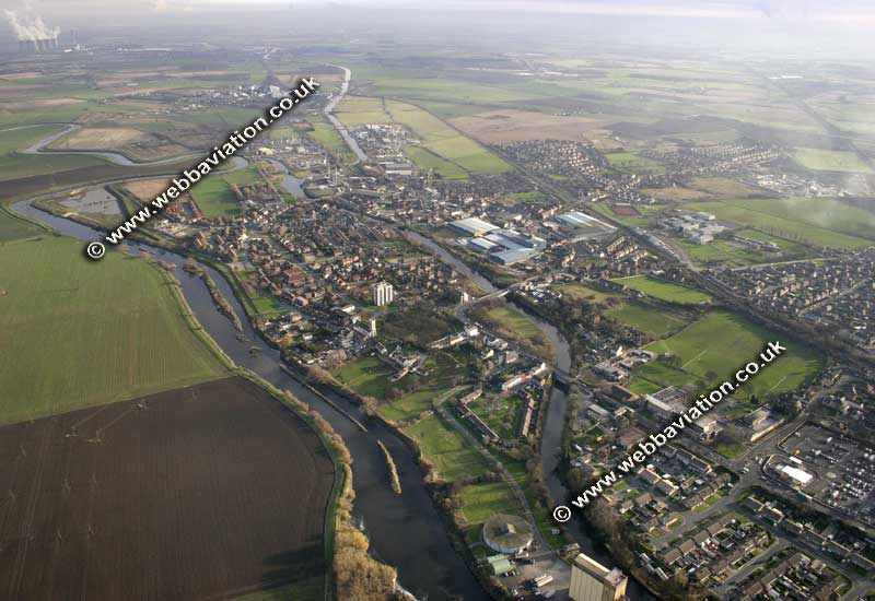
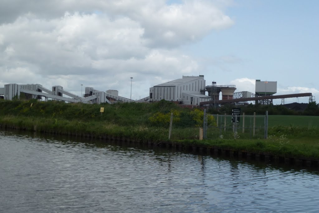
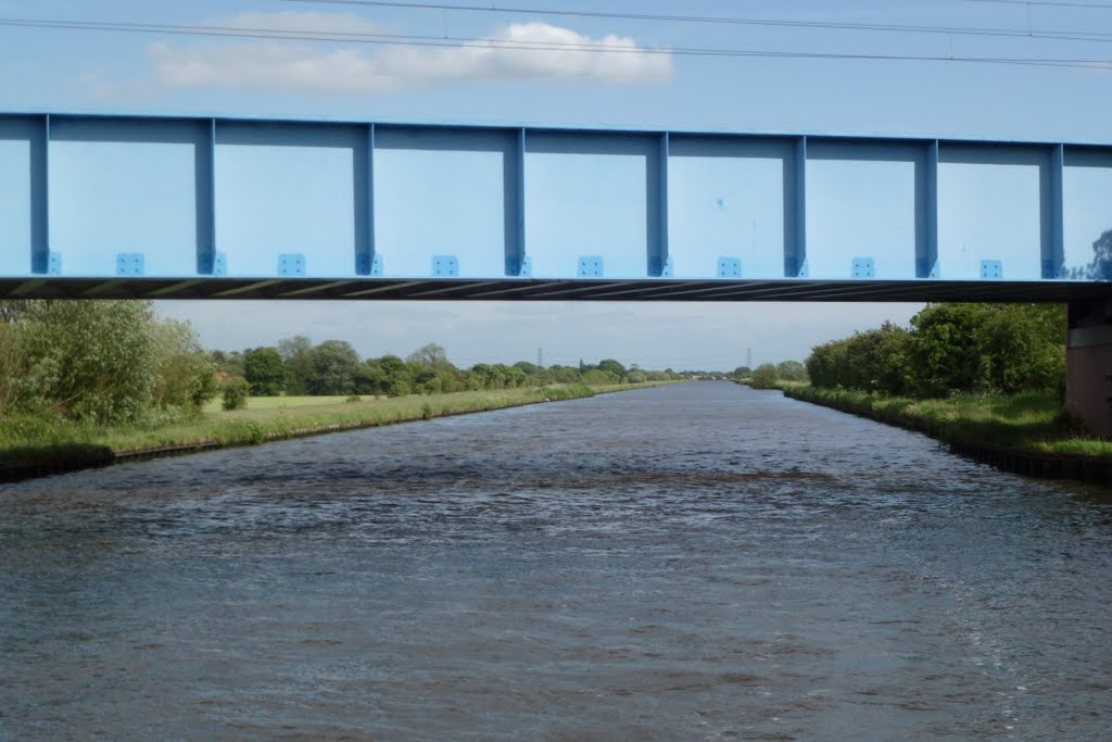
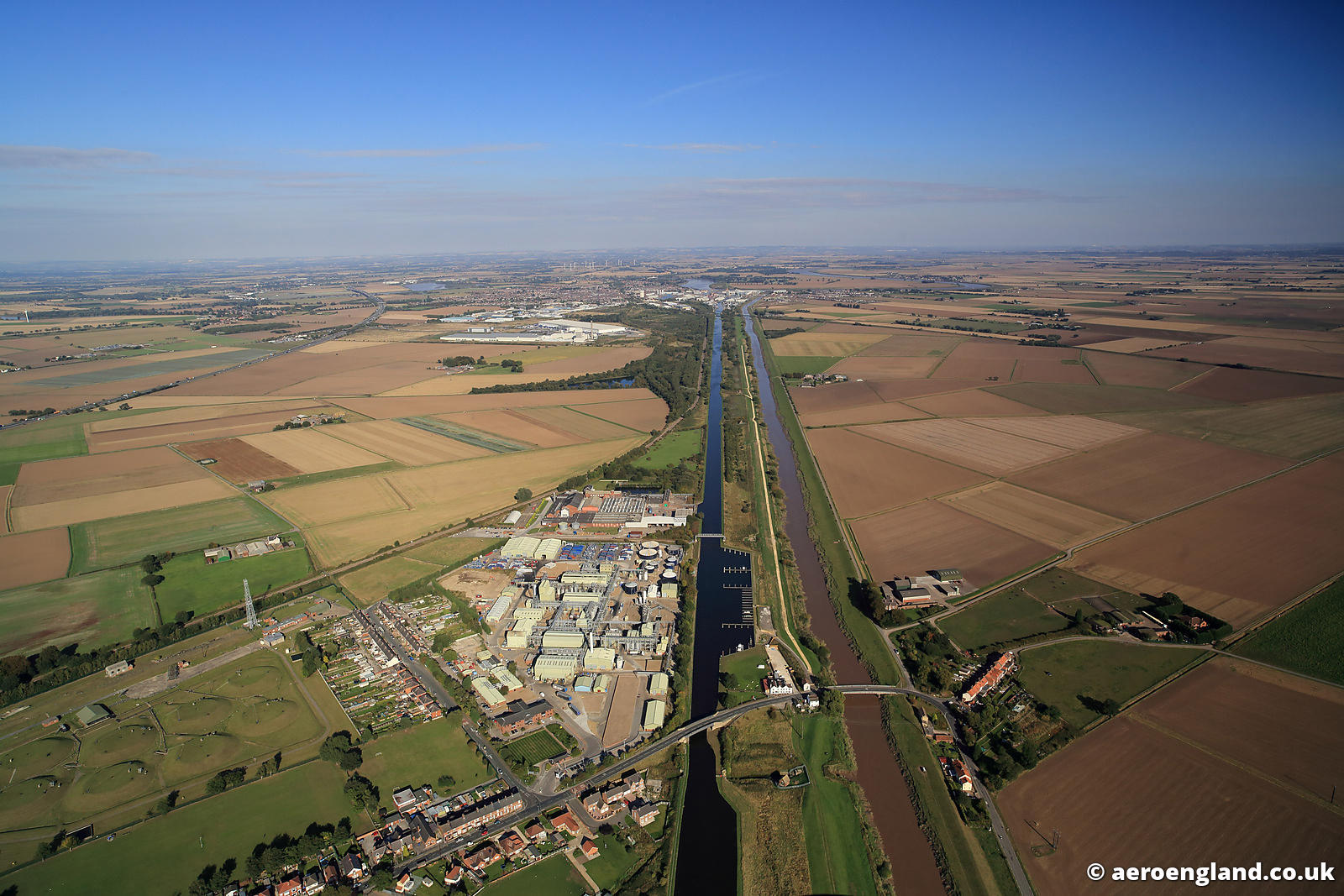
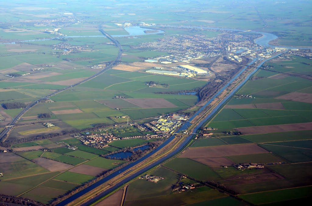
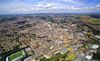
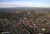
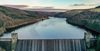
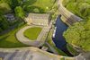
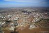
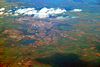
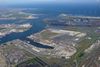
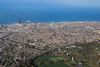
Descripción:La vía navegable del Aire y Calder es un sistema fluvial canalizado del río Aire y el río Calder en el condado metropolitano de West Yorkshire, Inglaterra. Las primeras mejoras al río por encima de Knottingley se completaron en 1704 cuando el Aire se hizo navegable a Leeds y el Calder a Wakefield, por la construcción de 16 esclusas. El tamaño de las esclusas se aumentaron varias veces, así como la profundidad del agua, para permitir que los barcos más grandes utilizaran el sistema. El Aire a continuación de Haddlesey por la apertura del canal de Selby en 1778. El canal de Knottingley a los nuevos muelles y la nueva ciudad en Goole proporcionó una ruta mucho más corta que el río Ouse desde 1826. El nuevo canal Junction se construyó en 1905, para unir al sistema de navegación el río Don, por entonces parte de la Vía navegable del Sheffield y Yorkshire del Sur.
https://en.wikipedia.org/wiki/Aire_and_Calder_Navigation

Aire & Calder Navigation Main Line
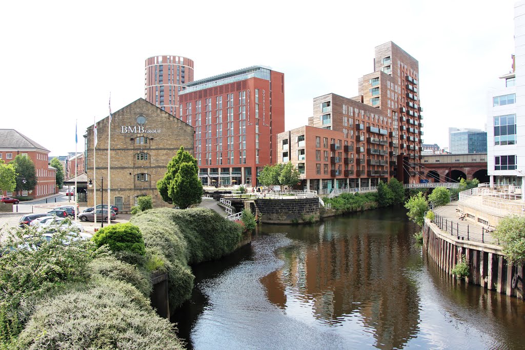
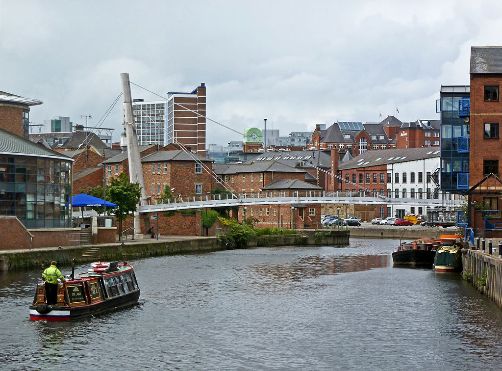
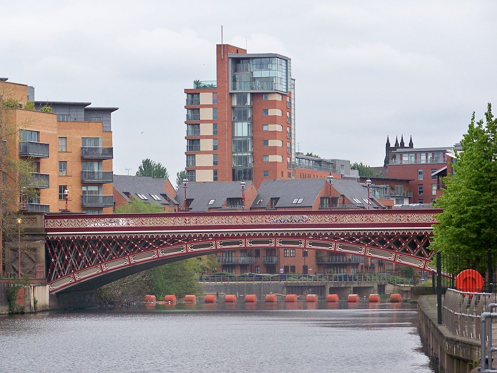
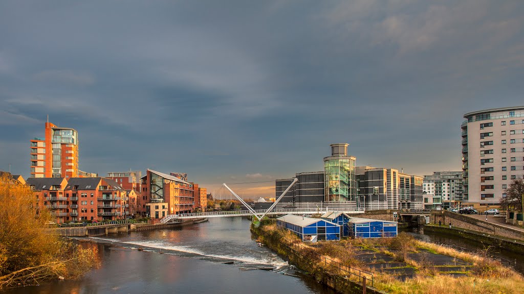
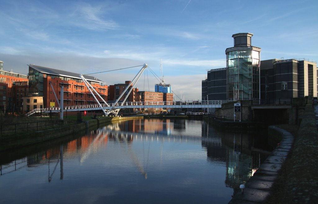
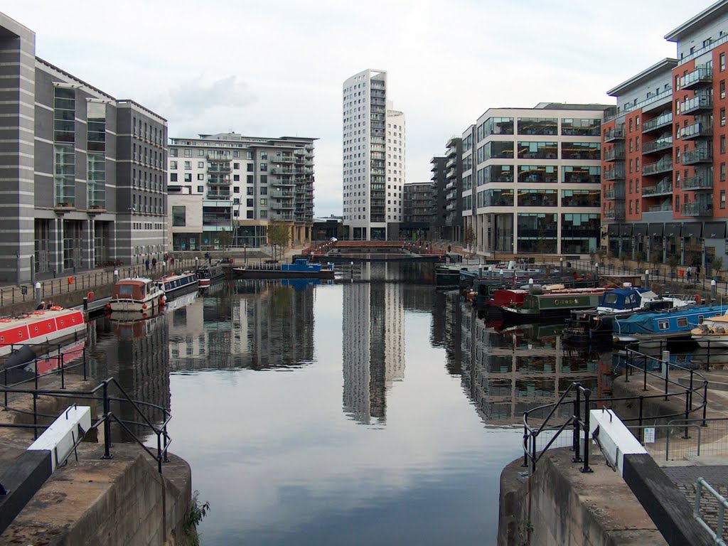
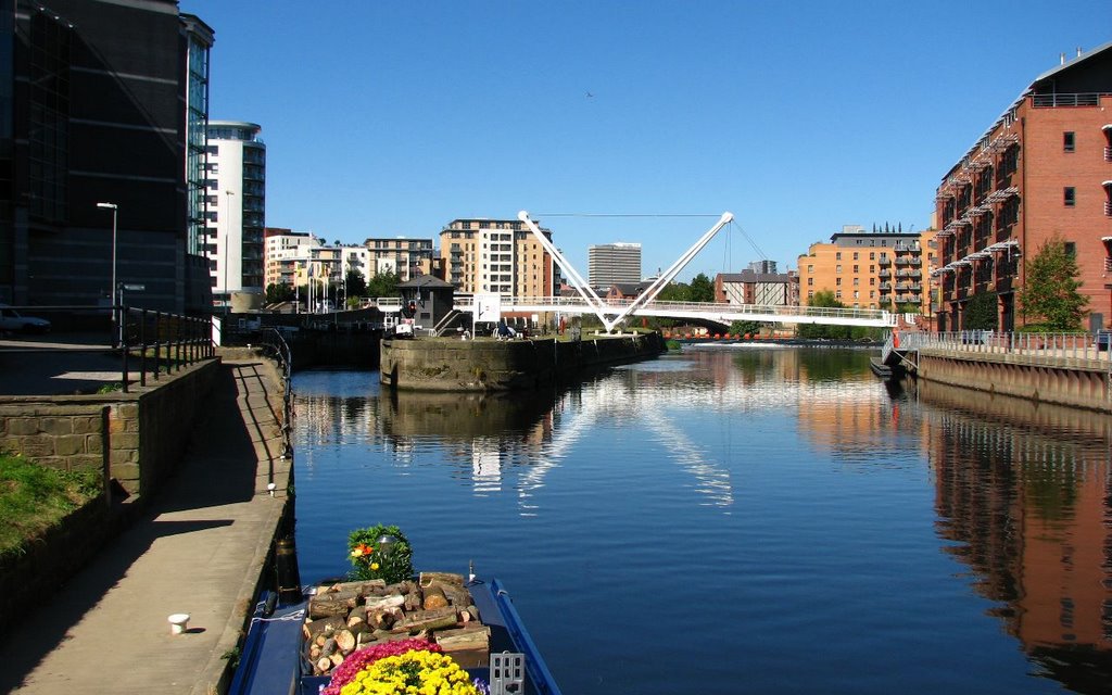
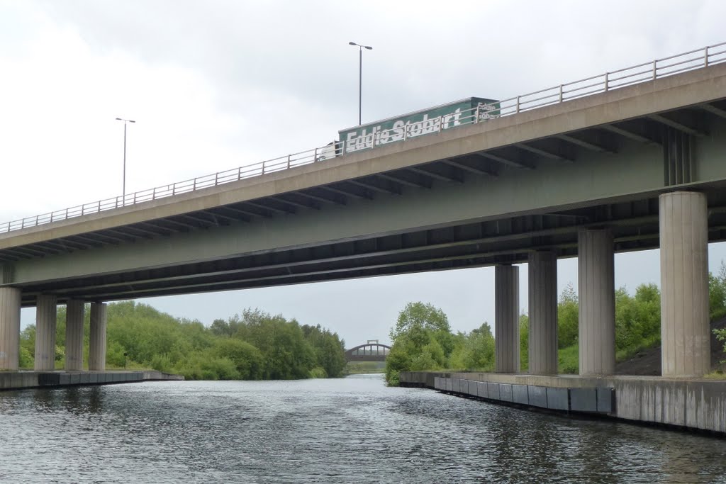
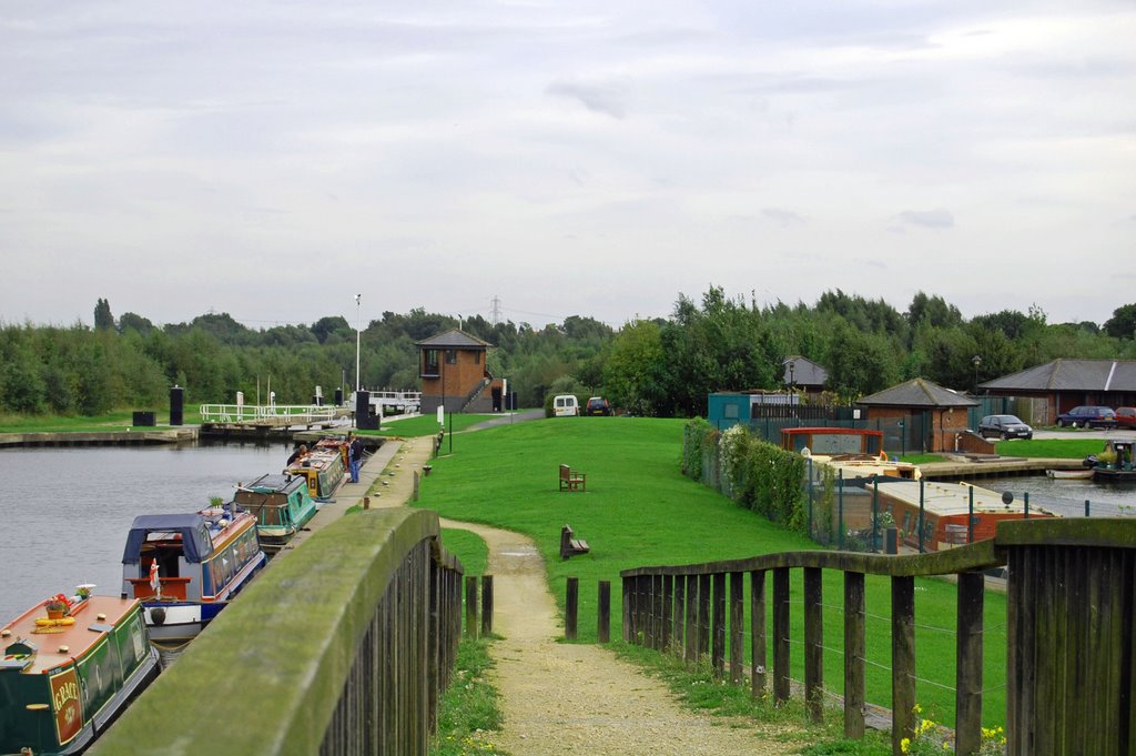
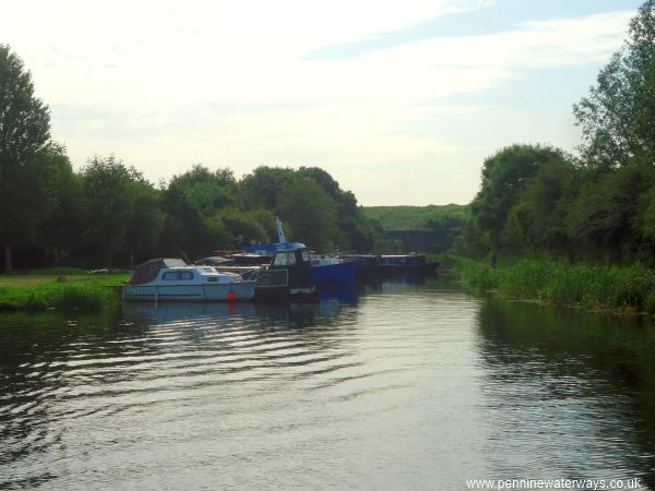
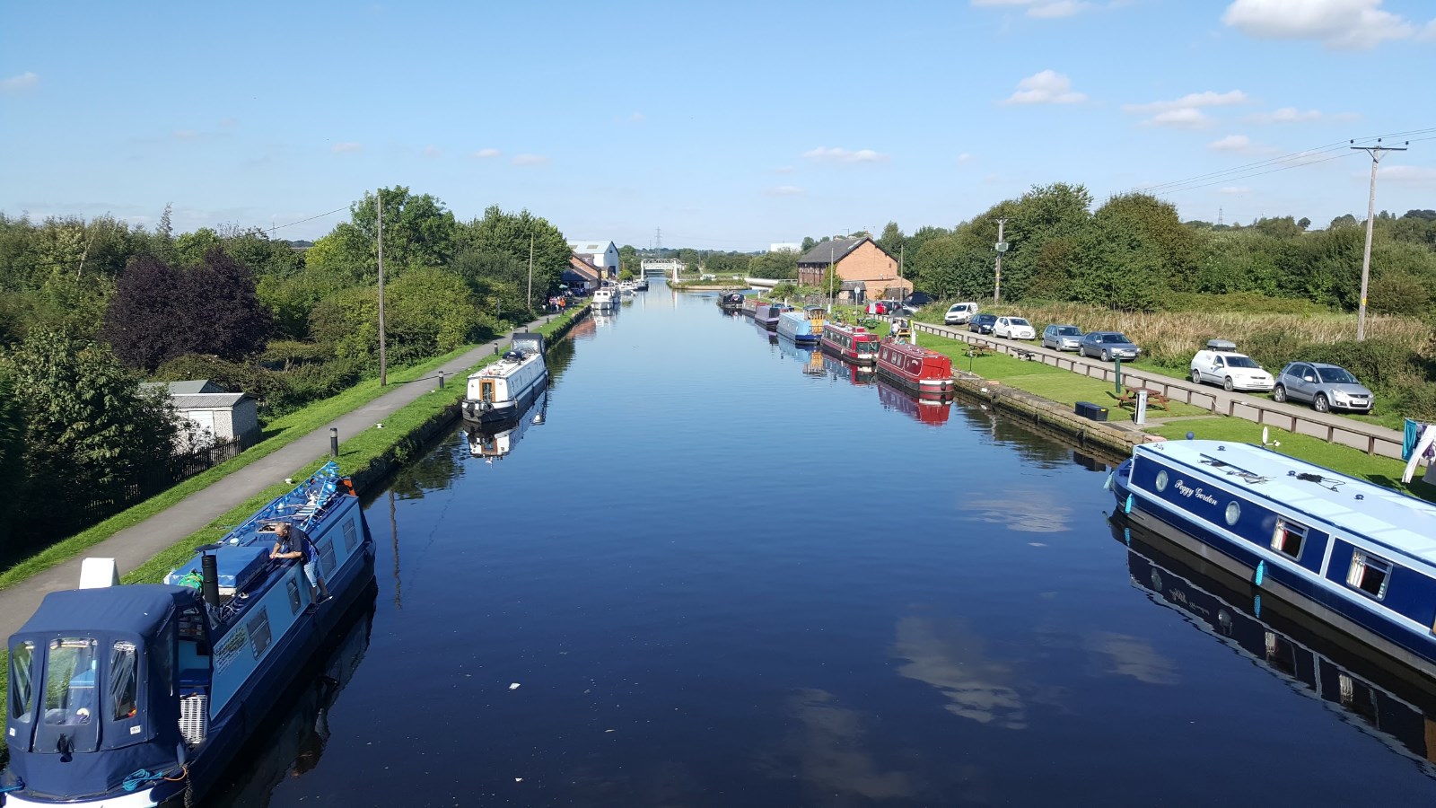
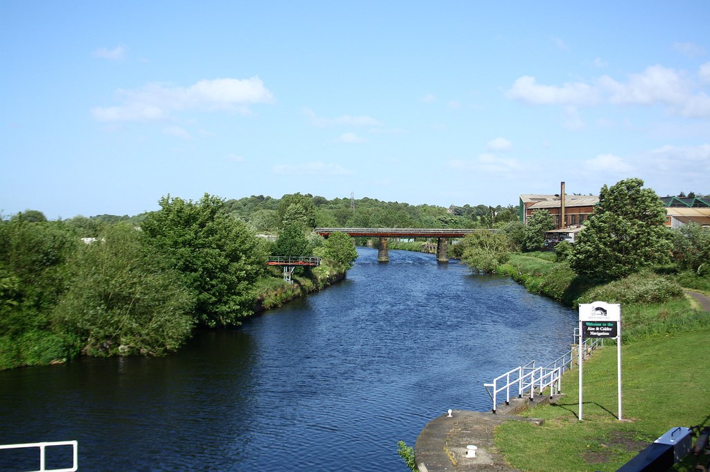
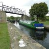
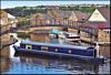
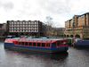
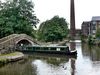
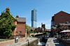
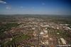
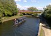
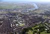
The Aire & Calder Navigation has increased in size over the years, and today large loads of goods can be carried from the Humber ports. It is also a popular route for pleasure boats, leading to the vibrant redeveloped waterfront area in Leeds.
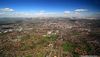
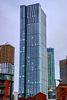
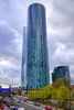
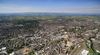
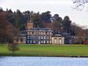
The city’s Clarence Dock is made up of modern flats, shops, restaurants and the Royal Armouries Museum, and the Navigation also runs close to the city’s busy centre.
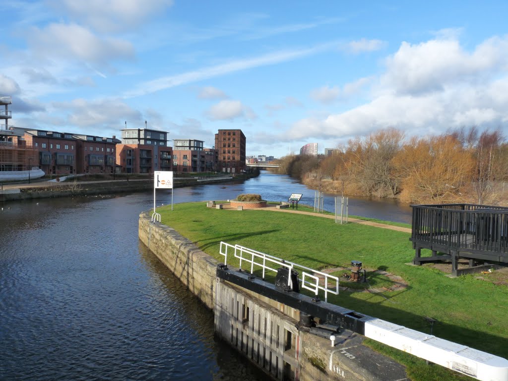
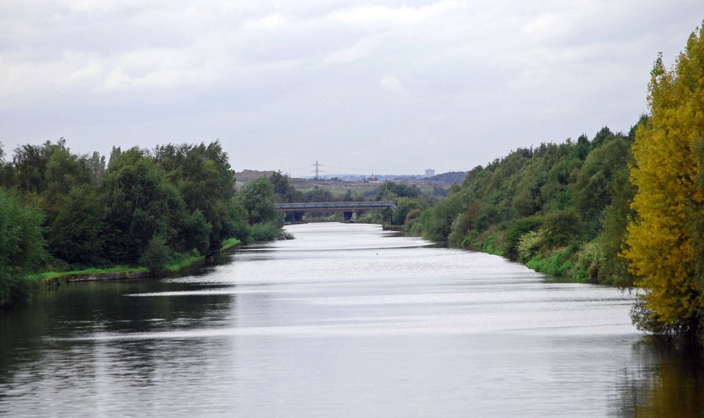
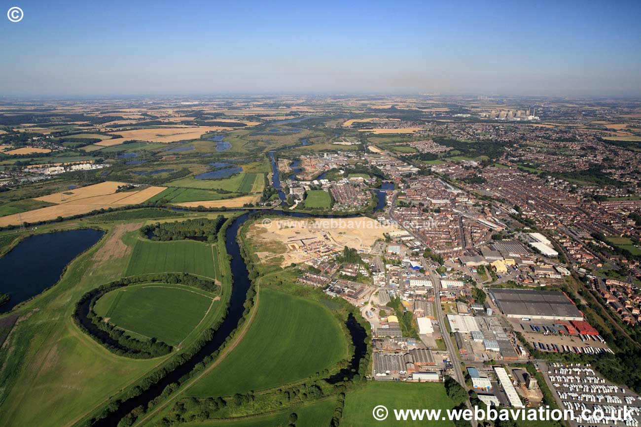
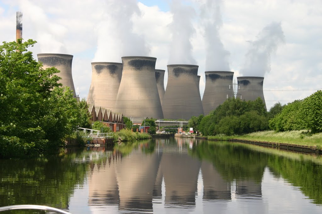
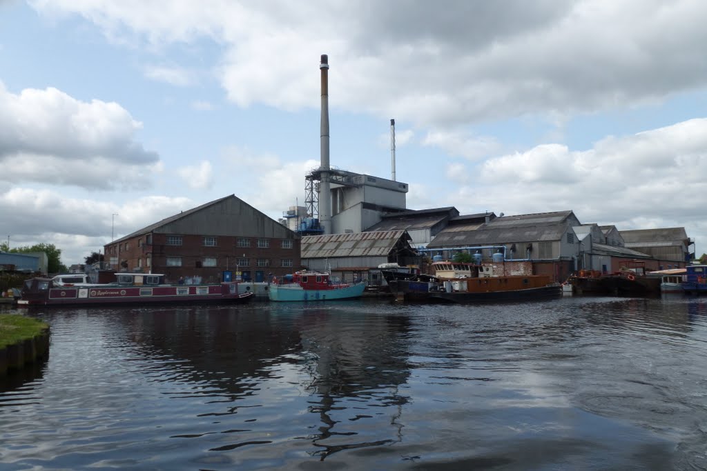
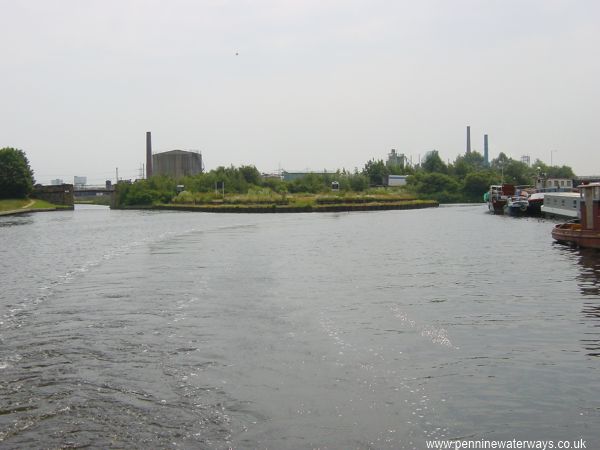
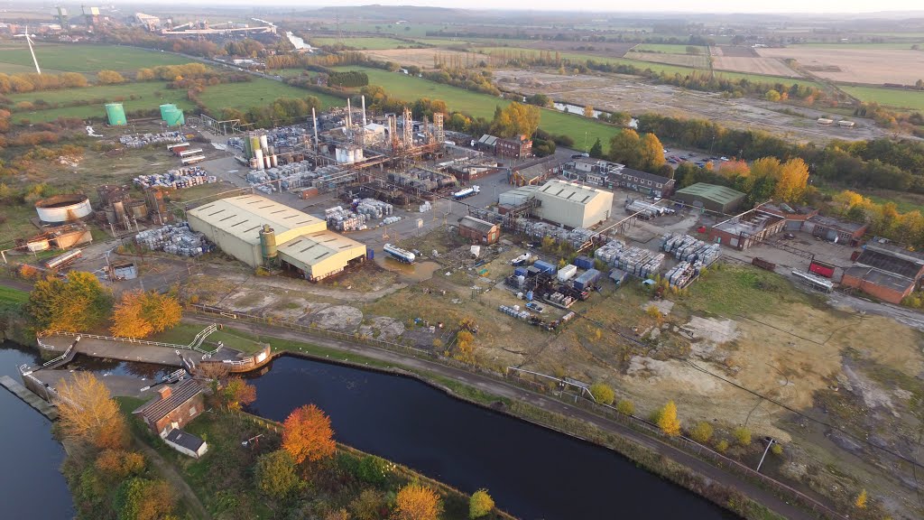
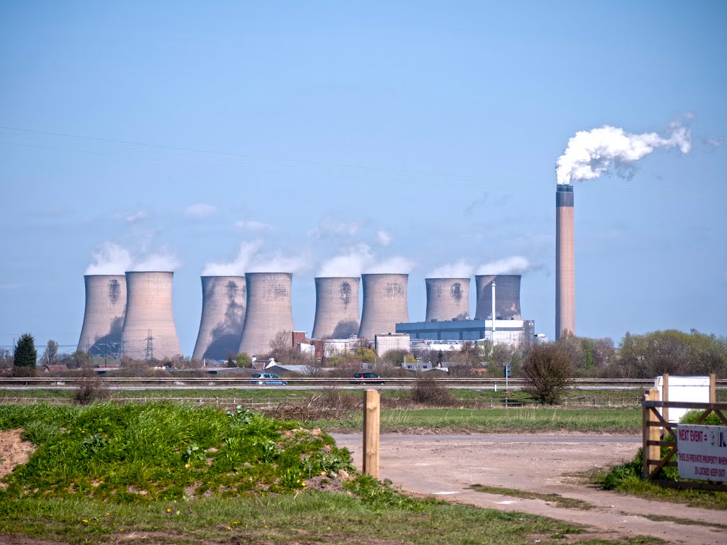
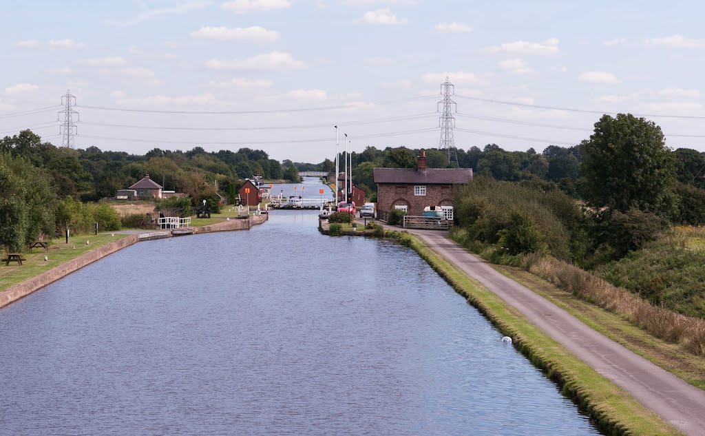
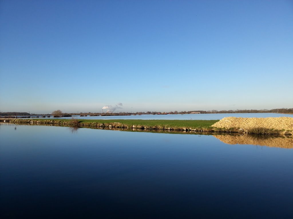
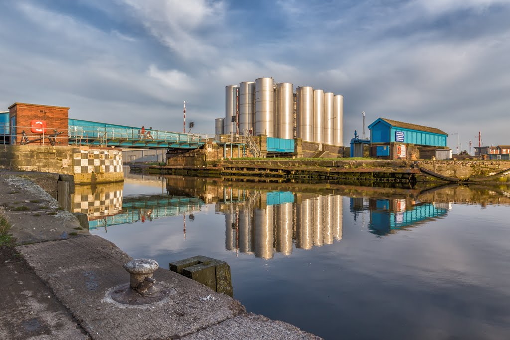
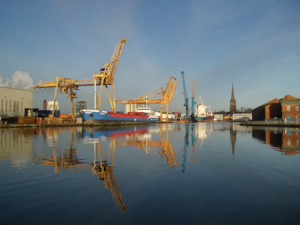
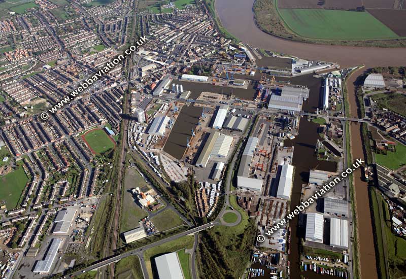
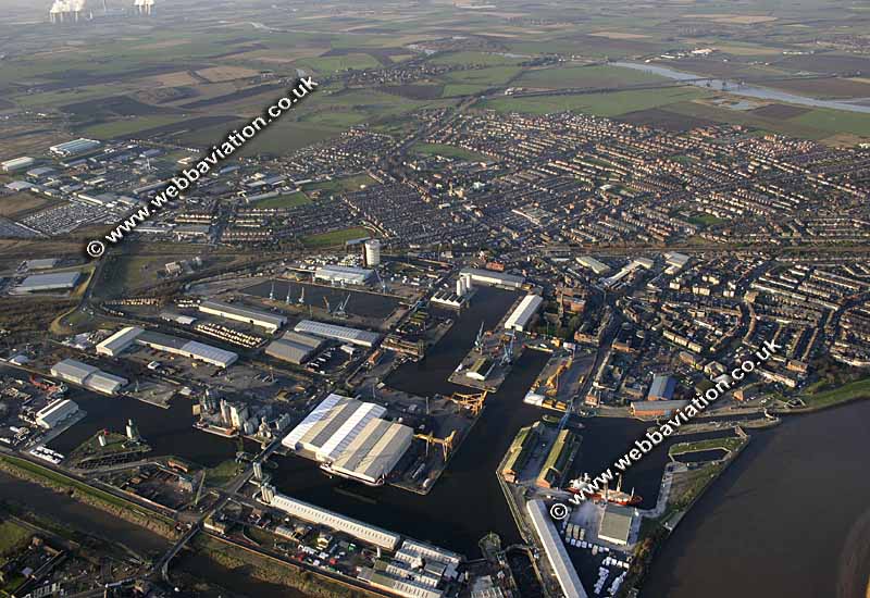
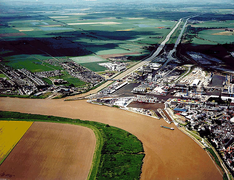
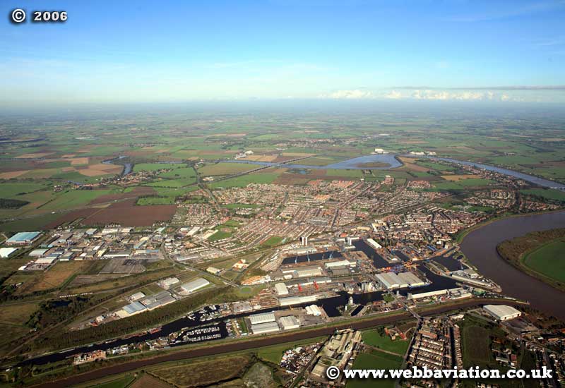
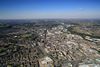
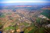
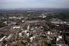
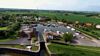
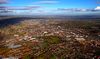
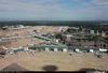
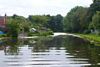
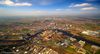
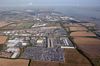
From Leeds, the Aire & Calder Navigation flows to the tidal River Ouse at Goole, where the docks are a reminder that the canal continues to serve its historic function of transporting freight. Oil, sand and gravel are currently the main freights. Until 2002, the canal was also used to transport coal.
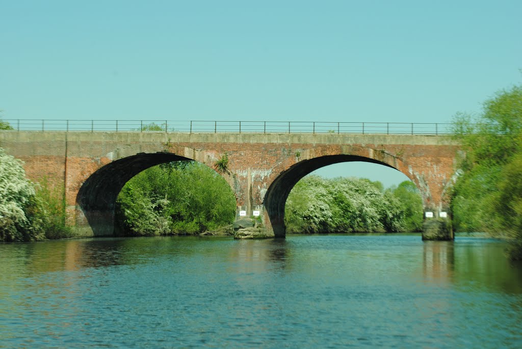
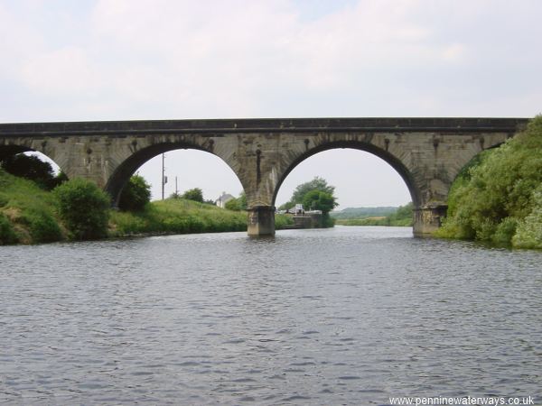
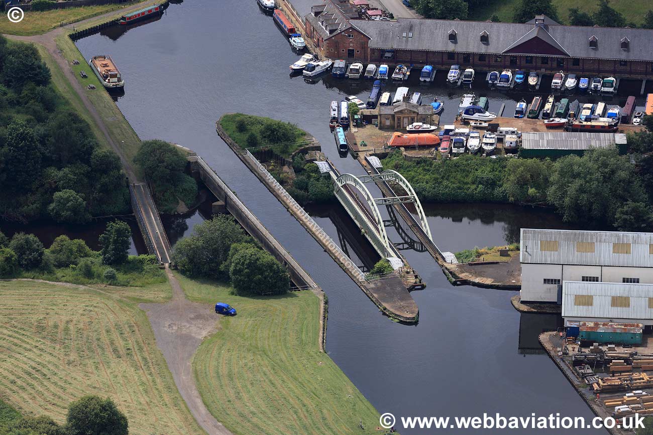
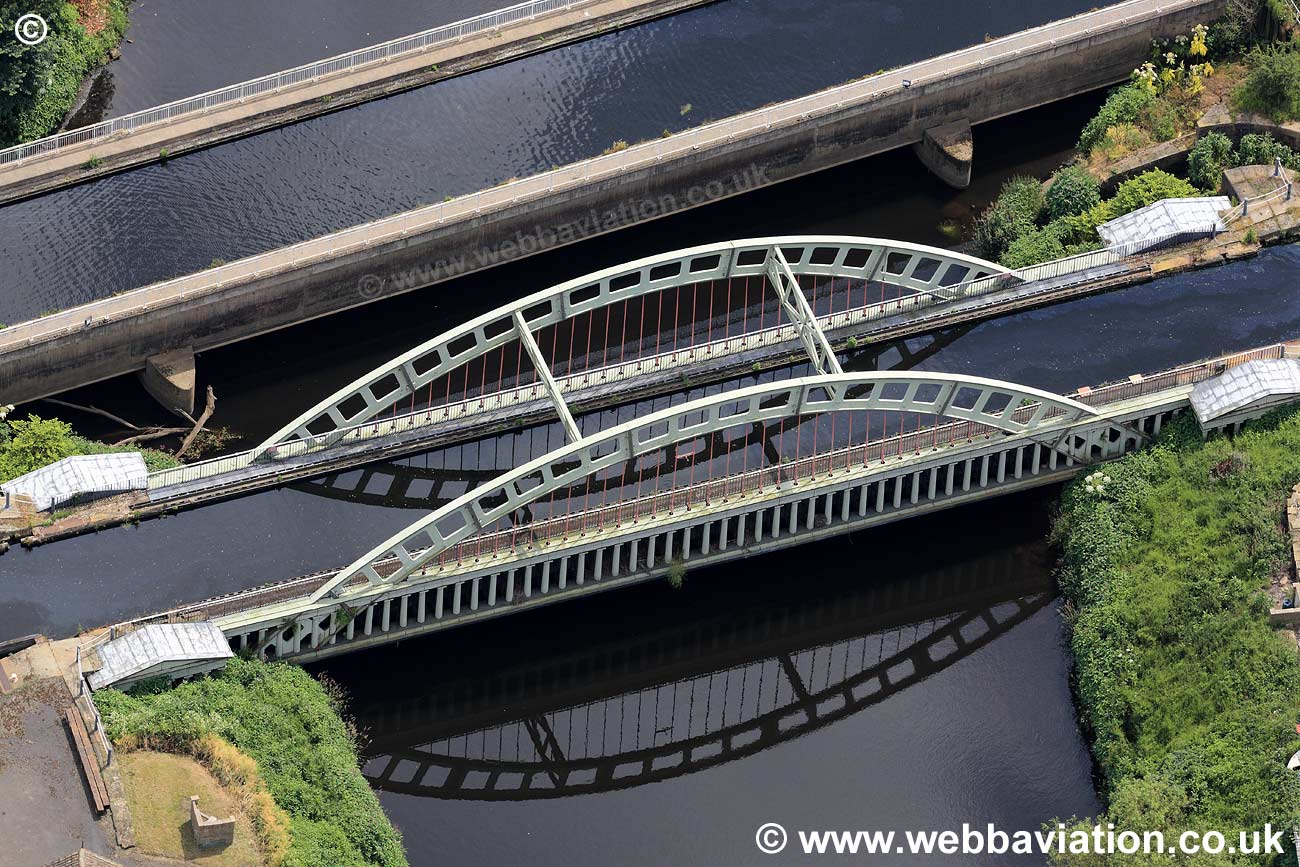
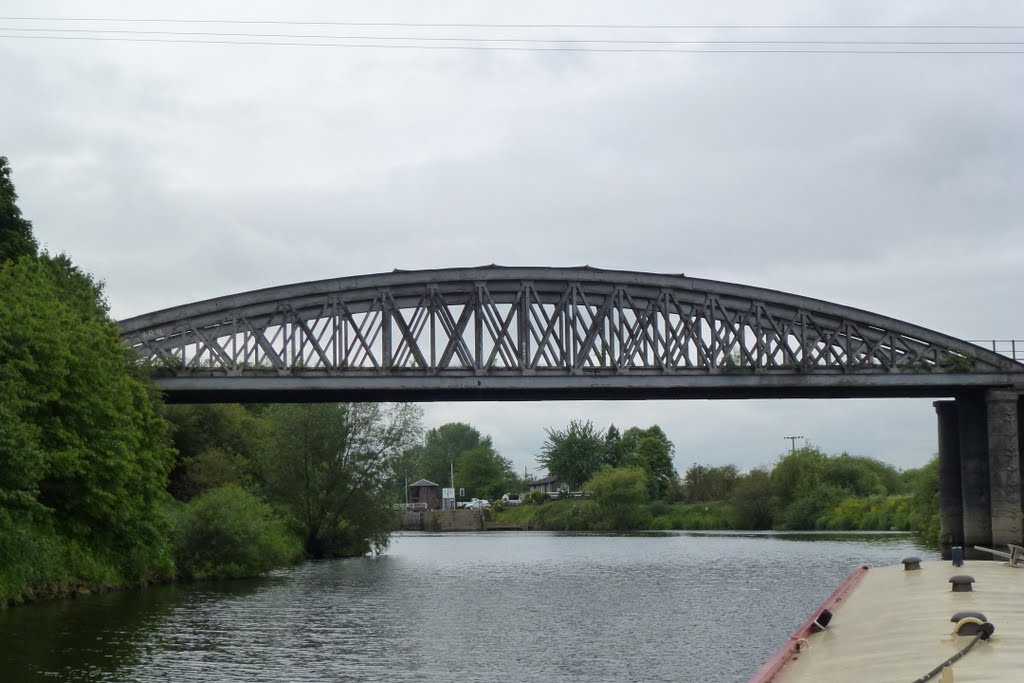
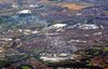
The Navigation has been regularly improved and upgraded throughout history. Some of the most famous names in engineering, including Smeaton, Jessop, Rennie and Telford, have left their marks. Though the waterway is usually considered a river navigation, the Ferrybridge-Goole stretch is entirely man-made.
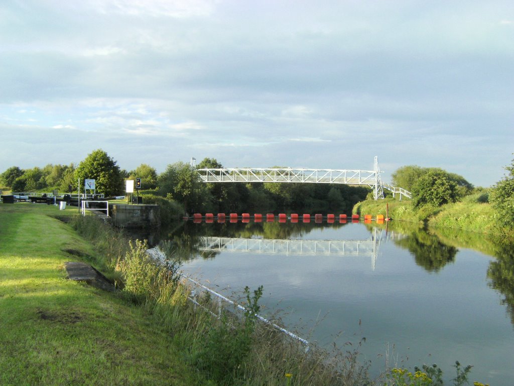
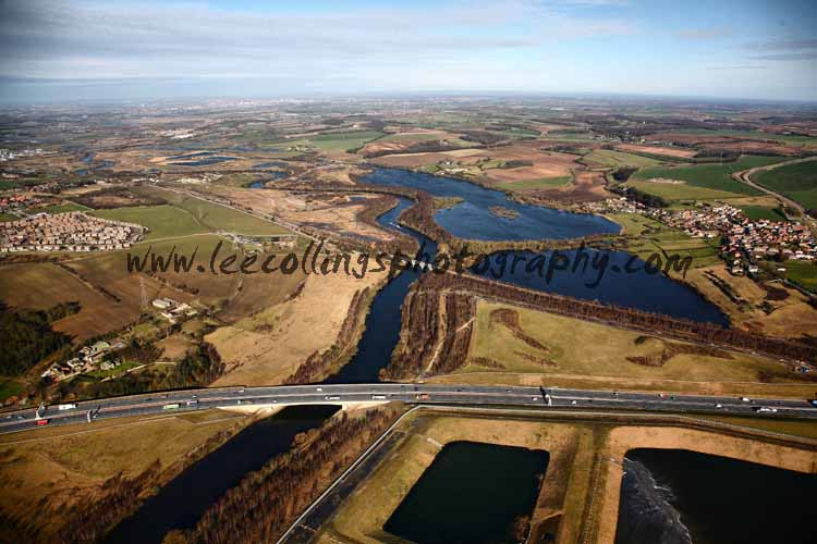
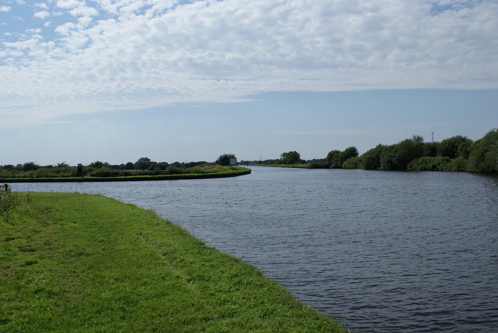
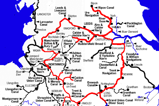
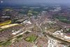
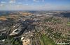
The Aire and Calder Navigation runs for 33 miles from Leeds to Goole, with a branch of 7.5 miles from Wakefield to Castleford.
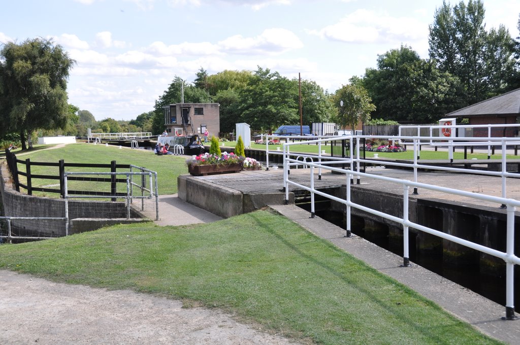
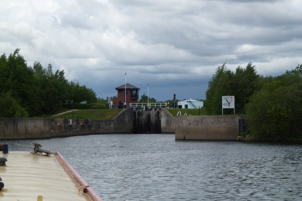
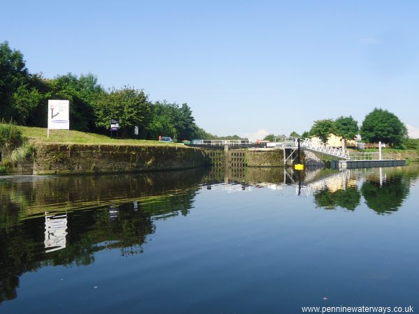
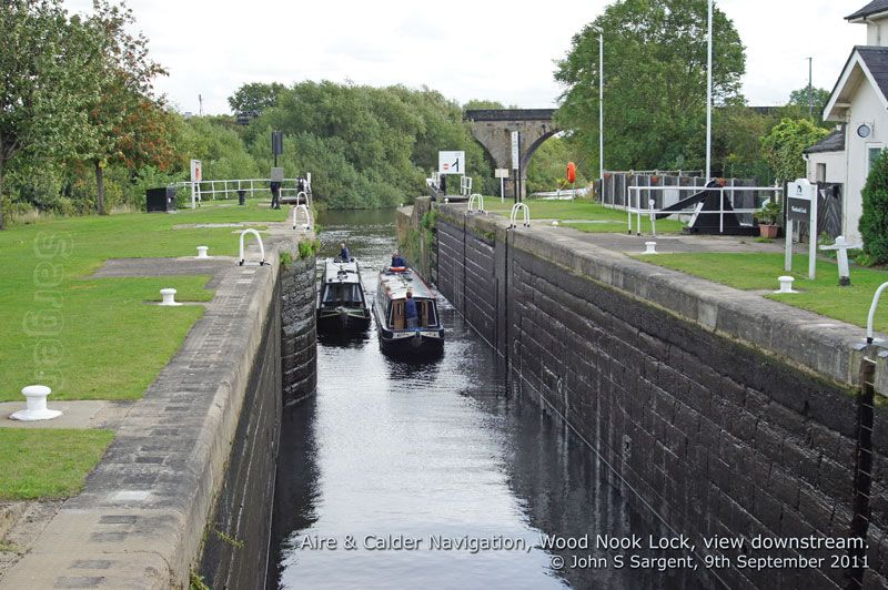
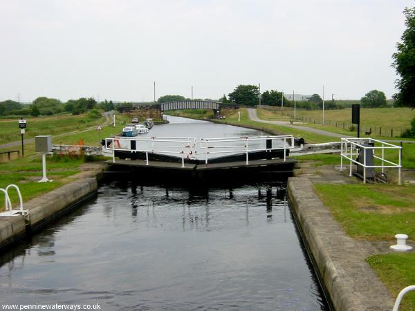
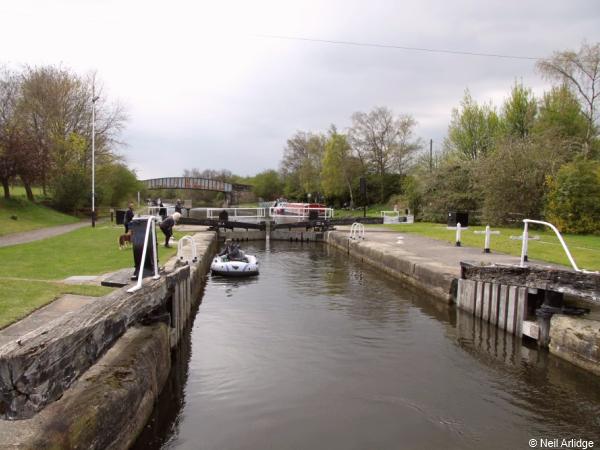
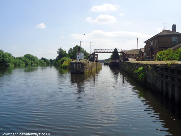
It had 8 locks spaced out between Leeds and Goole, 3 locks on the Wakefield branch and also a number of flood locks.
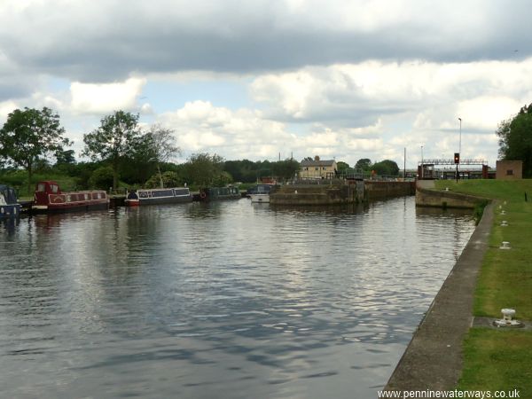
The canal was never closed and is still used by a small amount of commercial traffic in addition to a fair number of leisure craft.
http://www.penninewaterways.co.uk/aire/index.htm
Aire & Calder Navigation
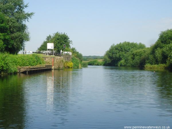
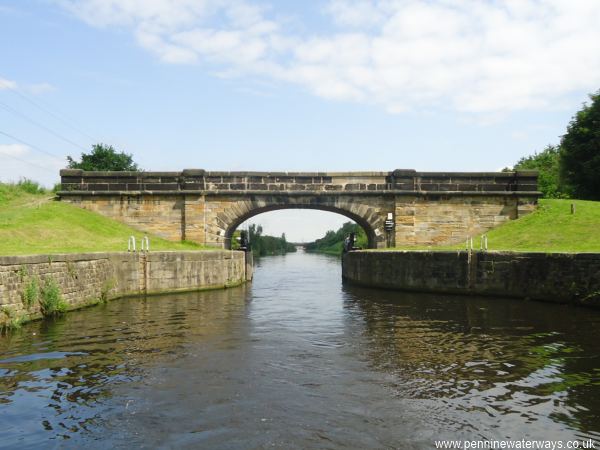
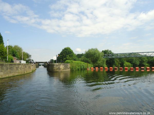
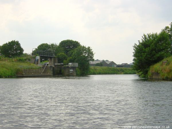
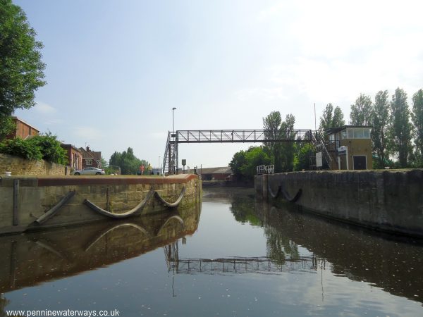
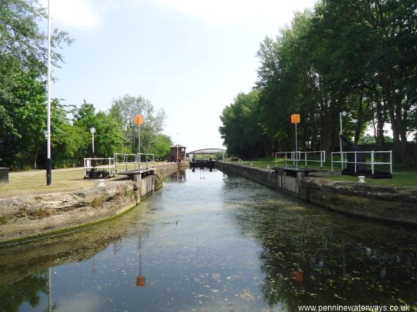
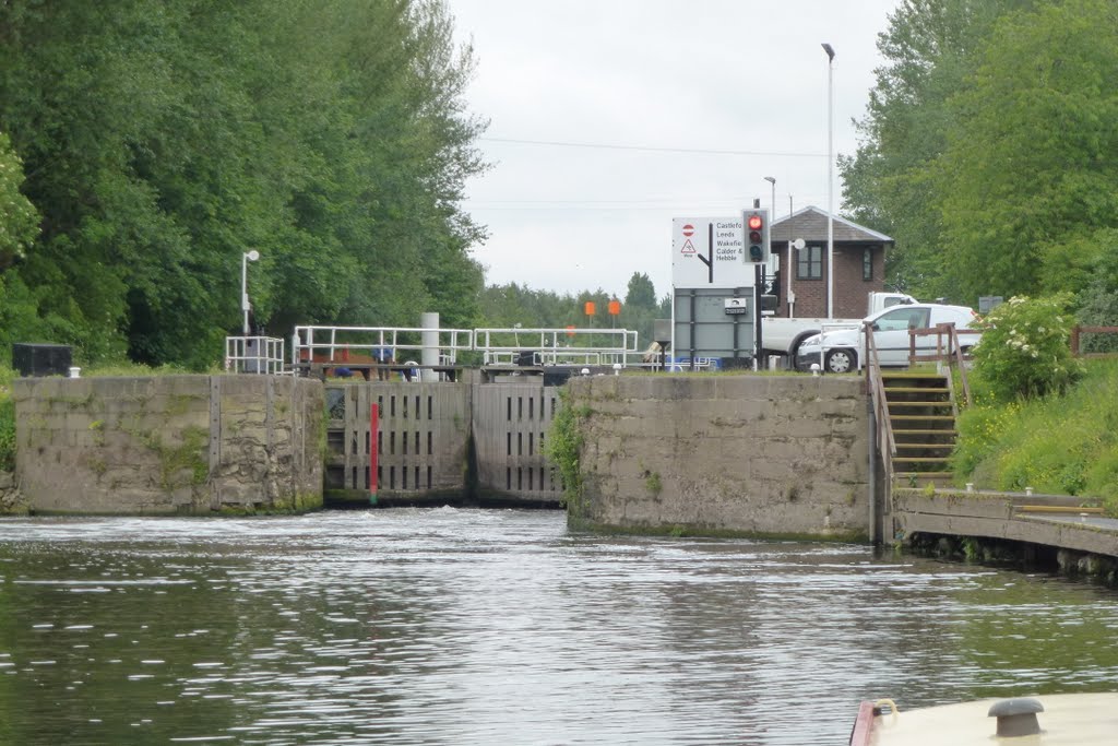
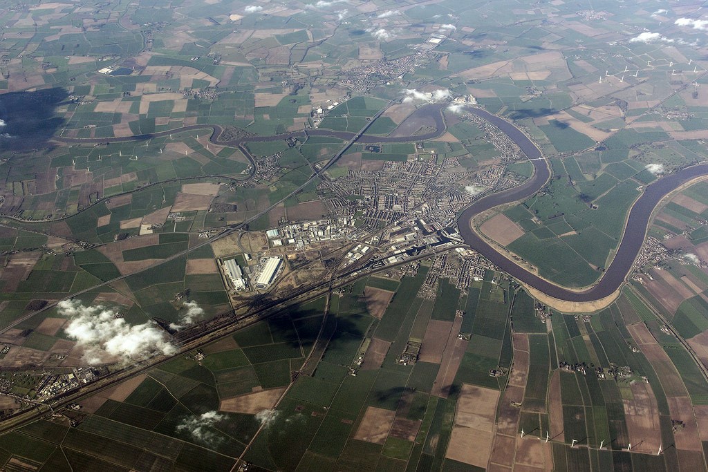
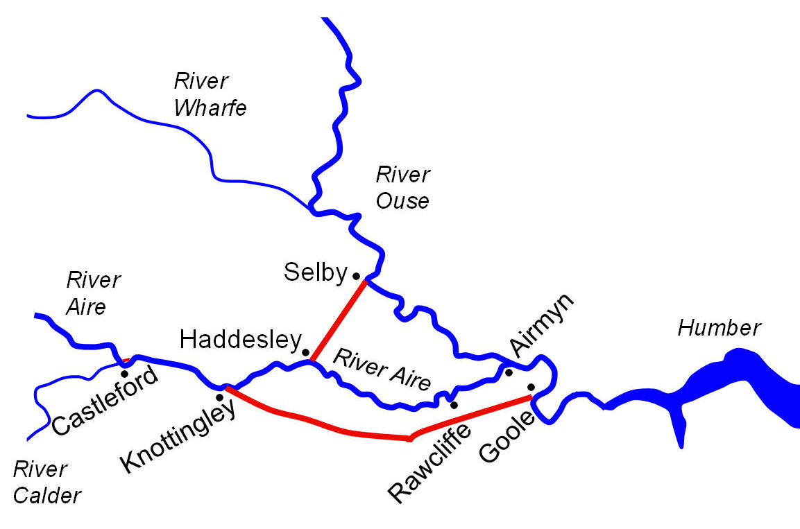
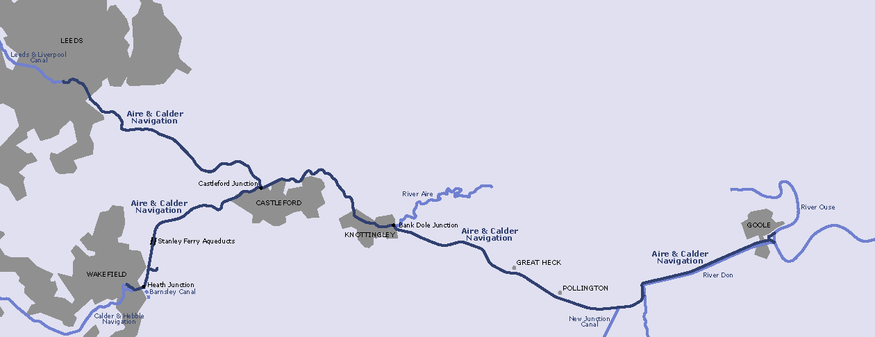
The main line of the Aire & Calder Navigation runs from Leeds (where it joins the Leeds & Liverpool Canal) to Goole (where it joins the Yorkshire Ouse). The Wakefield Branch of the Navigation runs from Fall Ing Lock at Wakefield (where it joins the Calder & Hebble Navigation) to join the Aire & Calder Navigation at Castleford Junction. The former Barnsley Canal (restoration proposed) joins the Wakefield Branch just downstream of Fall Ing Lock. The New Junction Canal (part of the Sheffield and South Yorkshire Navigation) joins the Navigation at Southfield Junction, 2 miles (3.2 km) downstream of Pollington. The (navigable) river Aire leaves the Navigation at Bank Dole Junction and joins the Selby Canal at Haddlesey. Downstream of Haddlesey Old Lock (which is derelict), the river Aire is tidal and not normally used for navigation.
The main line is 34.0 miles (54.4 km) long and has 11 locks. The Wakefield Branch is 7.5 miles (12 km) long and has 4 locks. The navigable river Aire to Haddlesey is 6.5 miles (10.4 km) long and has 2 locks.
The maximum boat size that can navigate the full main line is
length: 200' 2" (61.0 metres) - Castleford Lock
beam: 18' 1" (5.5 metres) - Leeds Lock
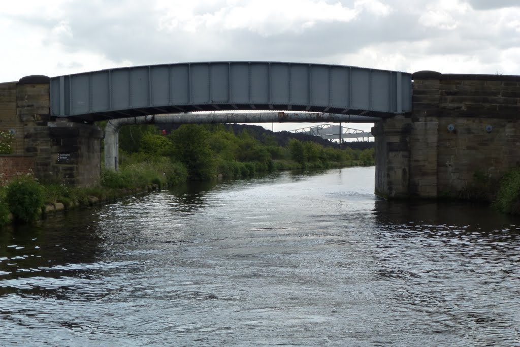
height: 11' 10" (3.6 metres) - Heck Road Bridge
draught: 8' 9" (2.68 metres) - cill of Leeds Lock
The maximum boat size that can navigate the Wakefield Branch is
length: 141' 0" (42.9 metres)
beam: 18' 3" (5.55 metres) - Broadreach Lock
height: 11' 10" (3.6 metres)
draught: 8' 10" (2.7 metres) - cill of Broadreach Lock
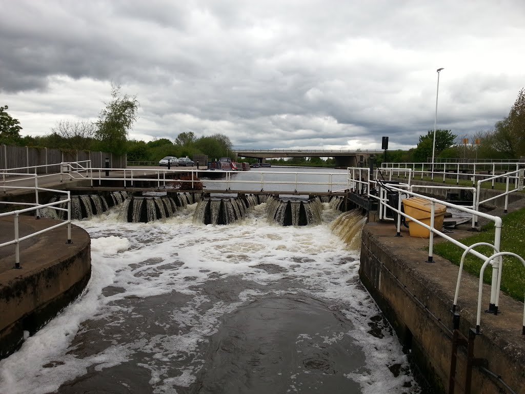
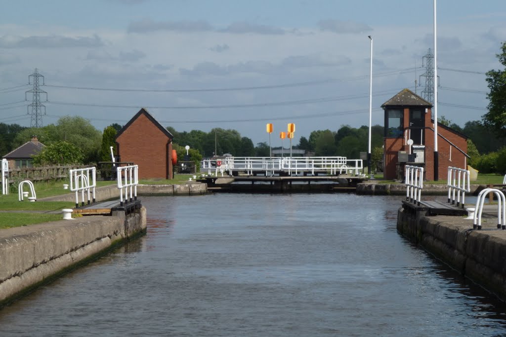
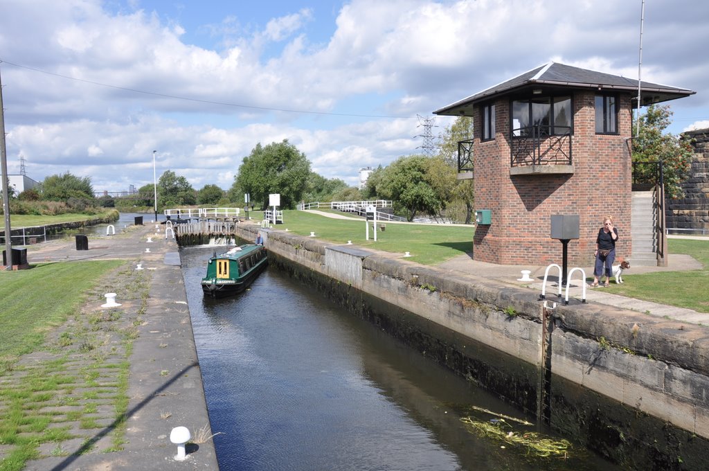
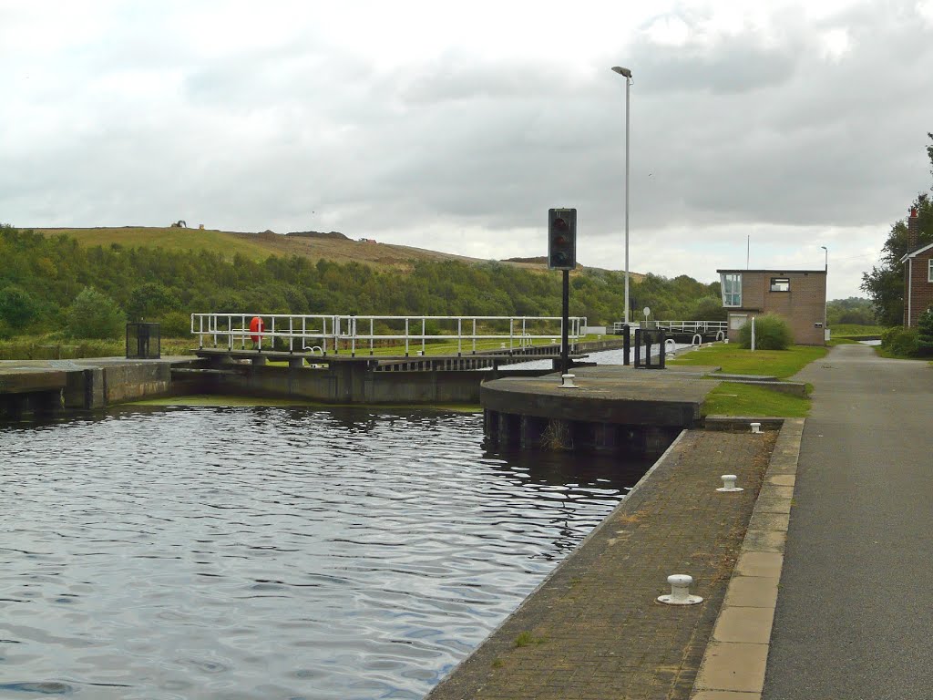
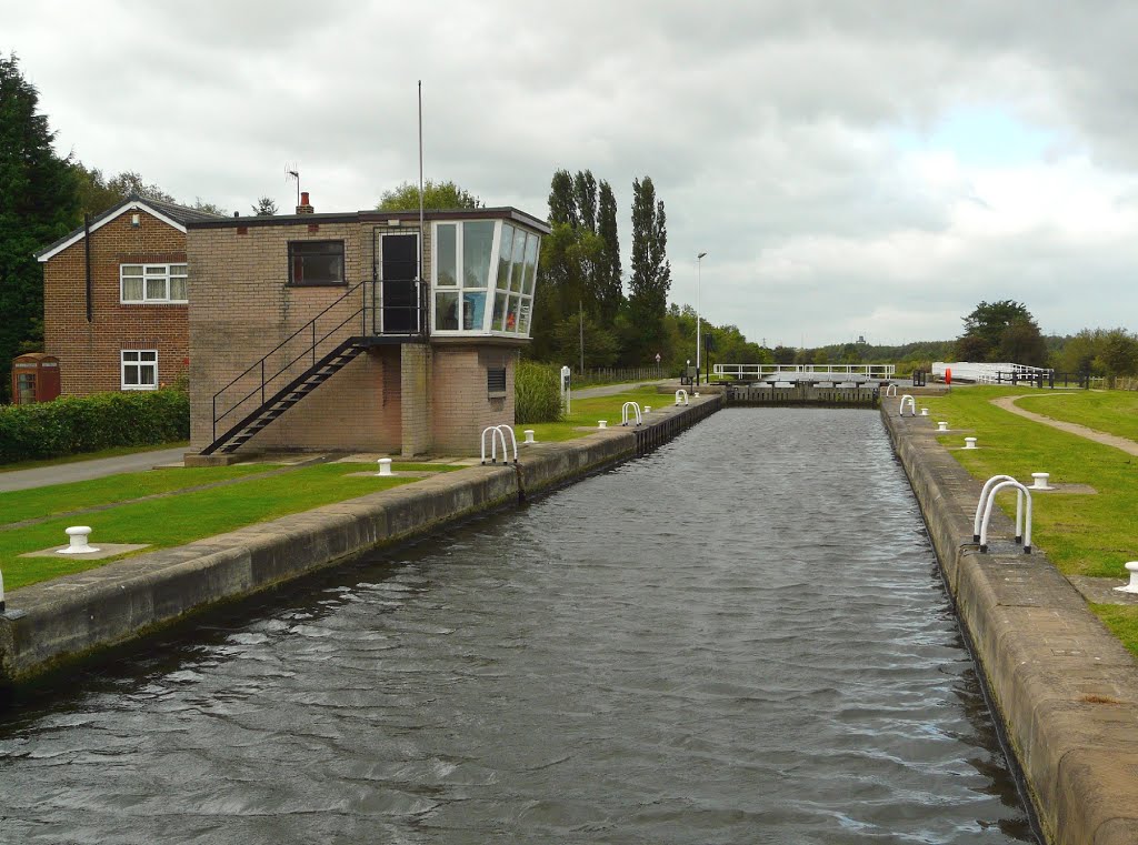
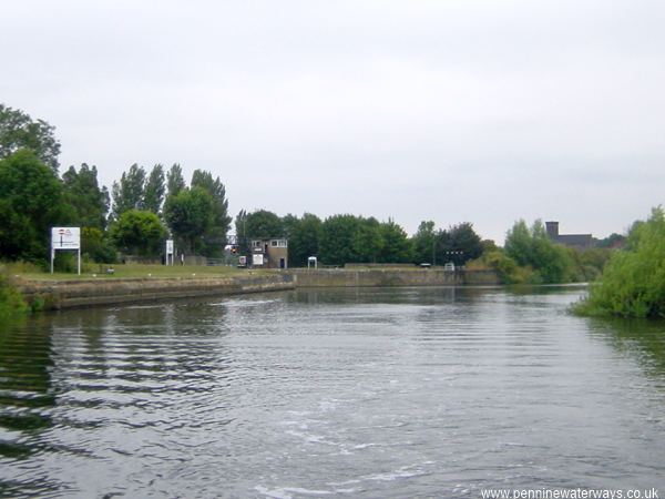
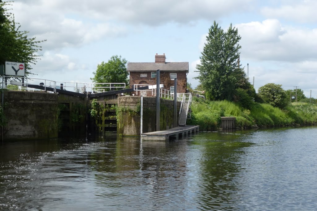
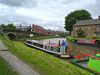
Most locks on the main line have periods when they are manned but many also have facility for user operation (the times when locks are manned are decreasing). All have traffic lights to indicate the status of the lock (much the same as the Trent locks). Most locks on the main line require a Sanitary Station key for self-operation.
Where user operation is provided, each gate, and its paddles, is controlled from its adjacent console. They are powered-up by inserting a Sanitary Station key. An 'interlock' prevents mis-operation. Detailed instructions are displayed at each console. It is advised to rope up your boat for the duration of filling or emptying the lock. Leisure boaters are advised to keep clear when large vessels are leaving or entering a lock. Where provided, use the shorter leisure boat landings.
https://www.waterways.org.uk/waterways/canals_rivers/aire___calder/aire_calder
http://www.tarncourt.co.uk/waterways/sections/airecalder/cas-leeds/casleeds.htm
http://www.pcurtis.com/canal97.htm
http://moore2life.co.uk/canals/ayrecalder/ayrecalder1.htm
Vídeo:
Web recomendada: http://www.penninewaterways.co.uk/aire/index.htm
Contador: 6084
Inserción: 2016-09-28 18:56:20
Lugares a visitar en un radio de 100 km (en línea recta)


Mapa de los lugares a 100 km (en línea recta)
Mostrando Registros desde el 1 hasta el 0 de un total de 0
Visitas RSS |
Más visitados Basílica de San Marcos  155922 Catedral de Notre Dame (París)  145471 Torre de Pisa  132440 Monte Saint-Michel  101554 Burj Khalifa  86058 |
Incorporaciones |
Comentarios Agenaktof  Mumbai (Bombay) In addition, folks these living in the residence, and stability of who're opioid addicted spend... Wein Plaza  Mumbai (Bombay) Thanks a lot. Loads of knowledge! Wein Plaza - JerryMiff  Mumbai (Bombay) Всем доброго времени суток! Хочу посоветовать... Oscarhealf  Mumbai (Bombay) Прикиньте, вчера я осознал, что мир маркетплейс... Sergio alumb  Puerto de Klaipeda Not long ago I started exploring coin collecting. I found a helpful resource at |