Nombre:
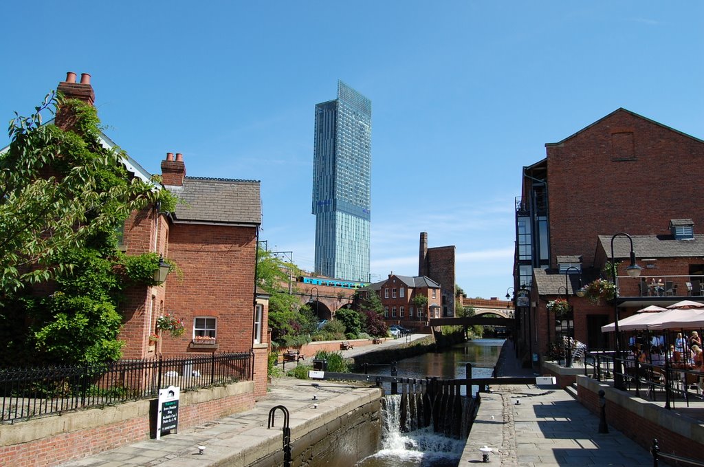
Canal de Rochdale
Otro:
Localización:
Récord: 51.50 km
Tipo: Canales
Categoría:
Foto:
Voto:
Continente: Europa
País: Reino Unido
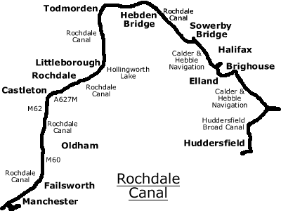
Localización: Manchester-Sowerby Bridge
Año: 1804
Estado: Terminado
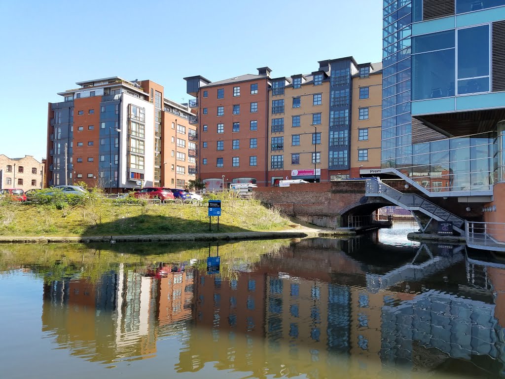
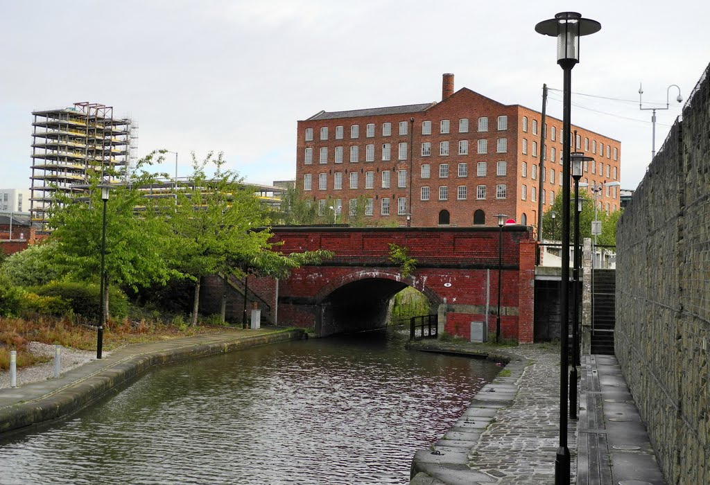
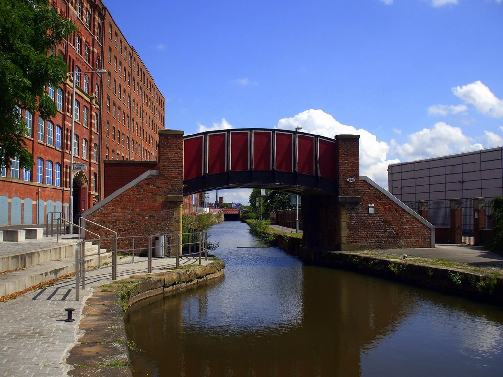
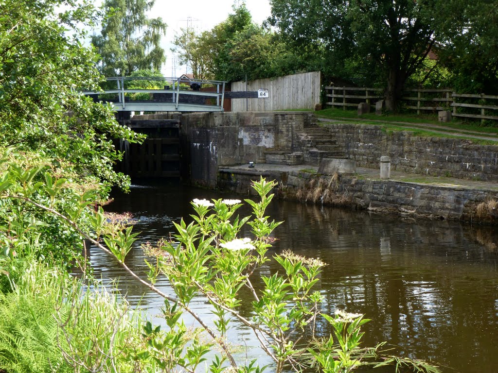
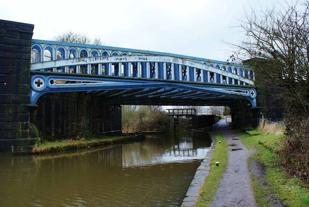
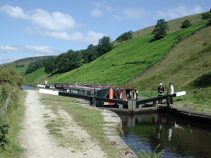
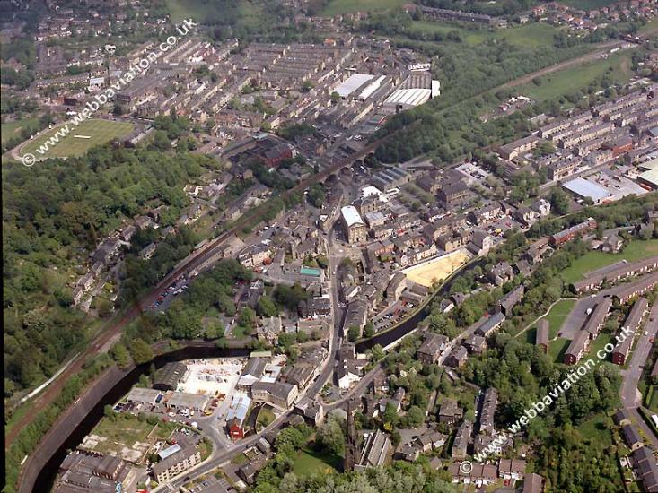
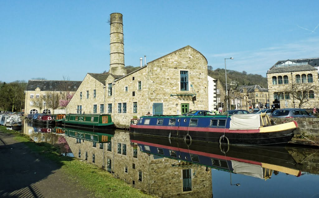
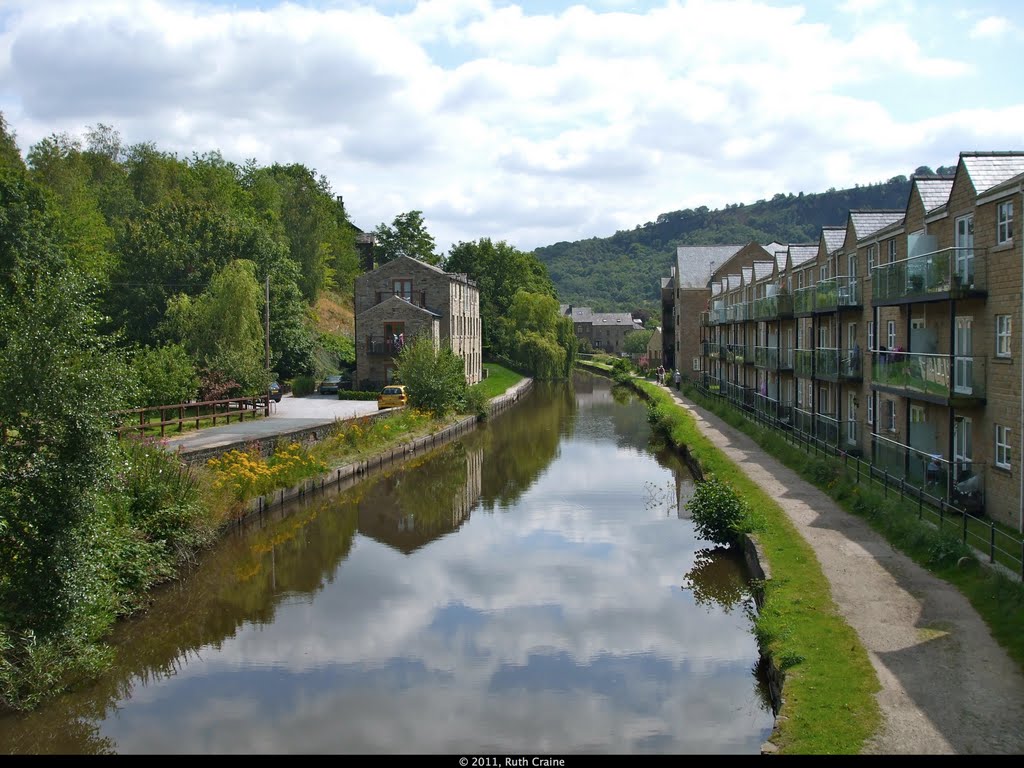
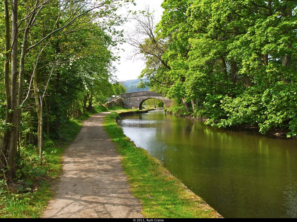
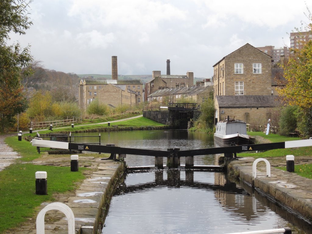
Descripción:El Canal de Rochdale es un amplio canal navegable en el norte de Inglaterra, entre Manchester y el Puente de Sowerby, que forma parte del sistema conectado de los canales de Gran Bretaña. Su nombre hace referencia a la ciudad de Rochdale, en el Gran Manchester, por el que pasa.
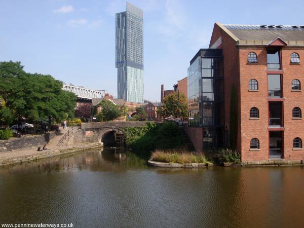
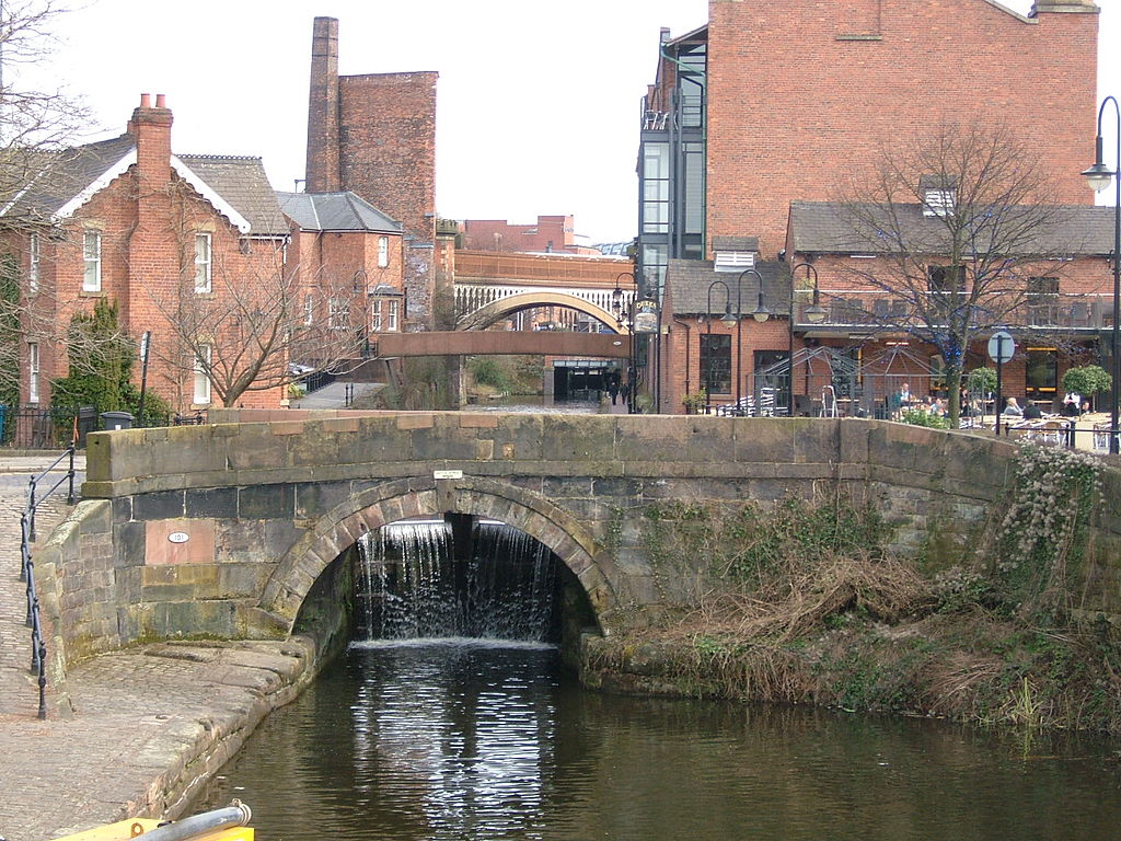
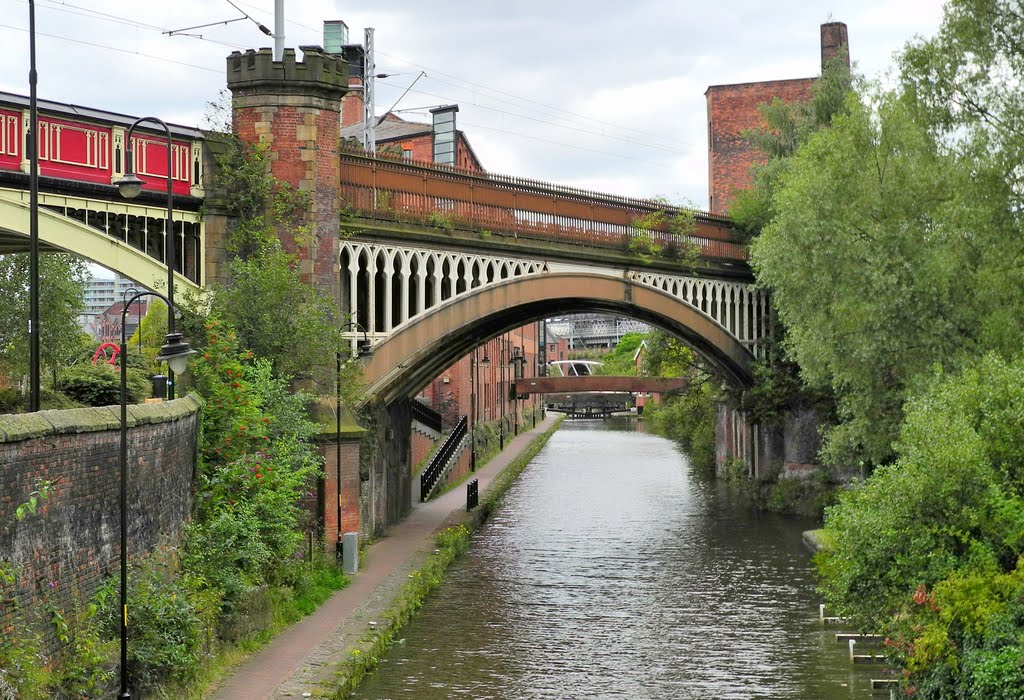
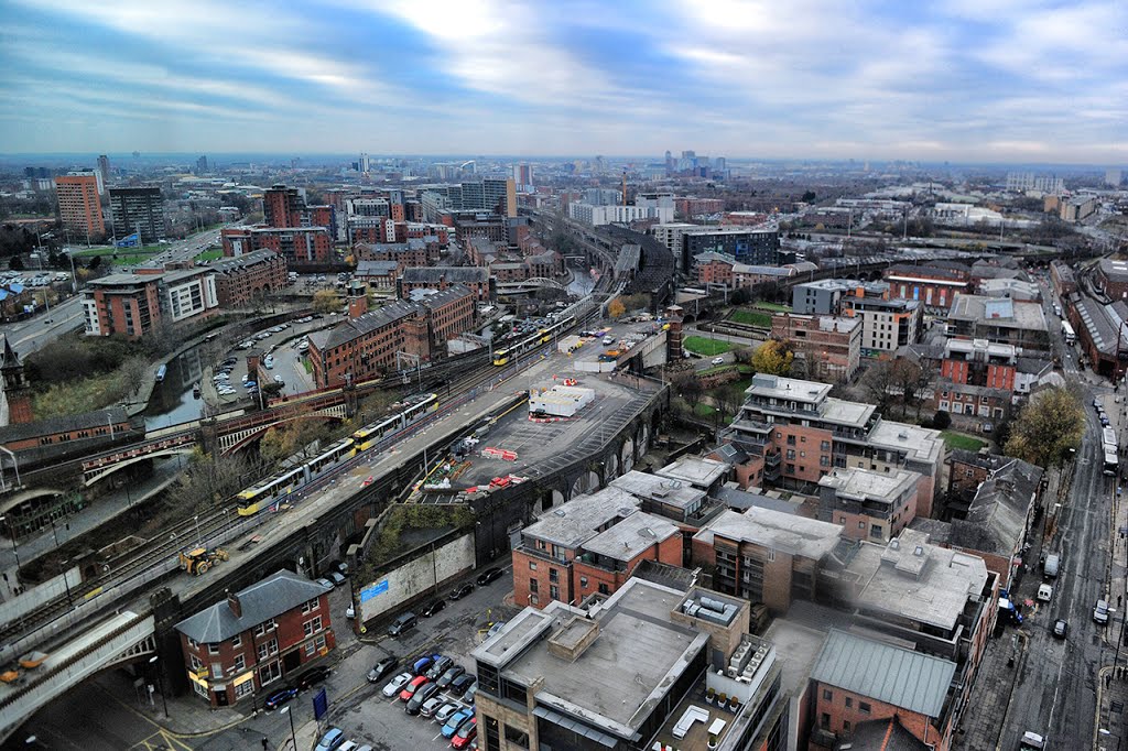
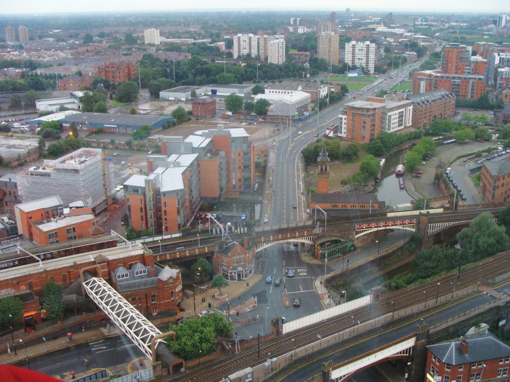

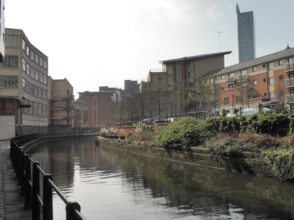
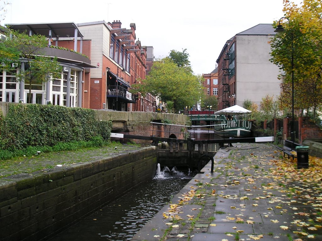
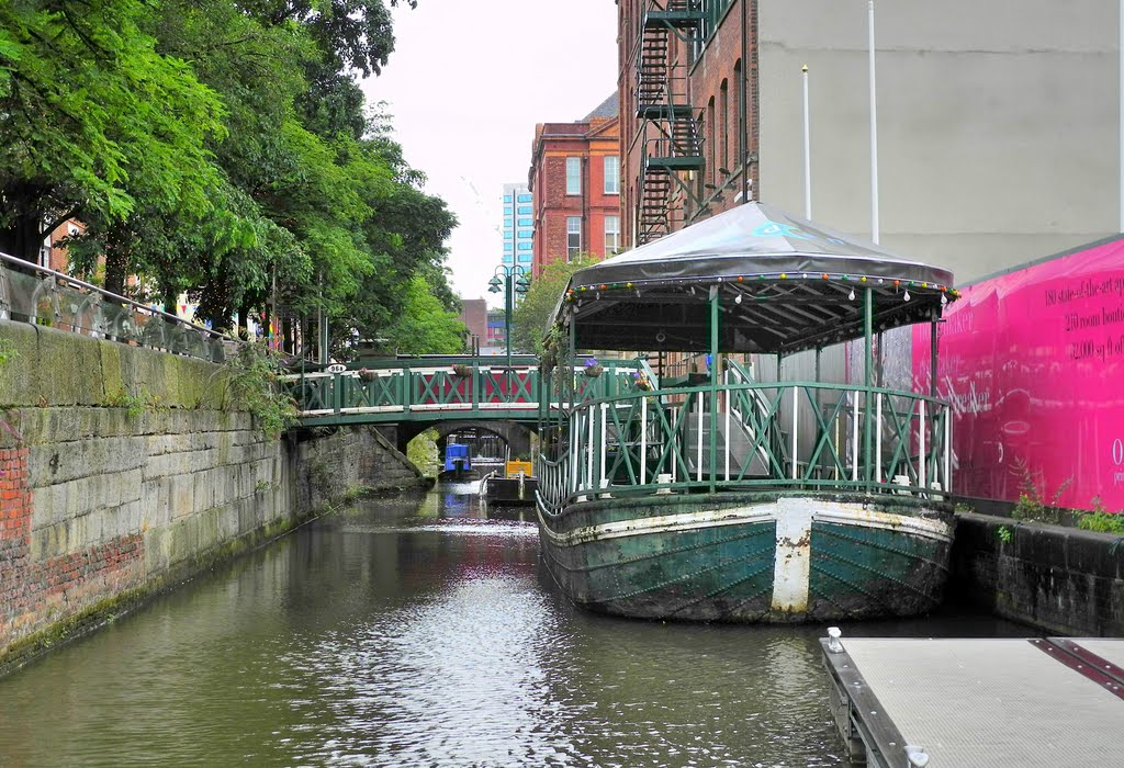
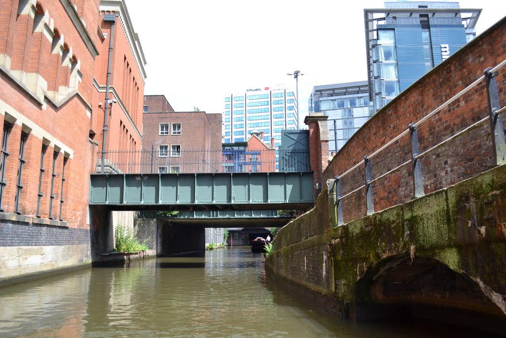
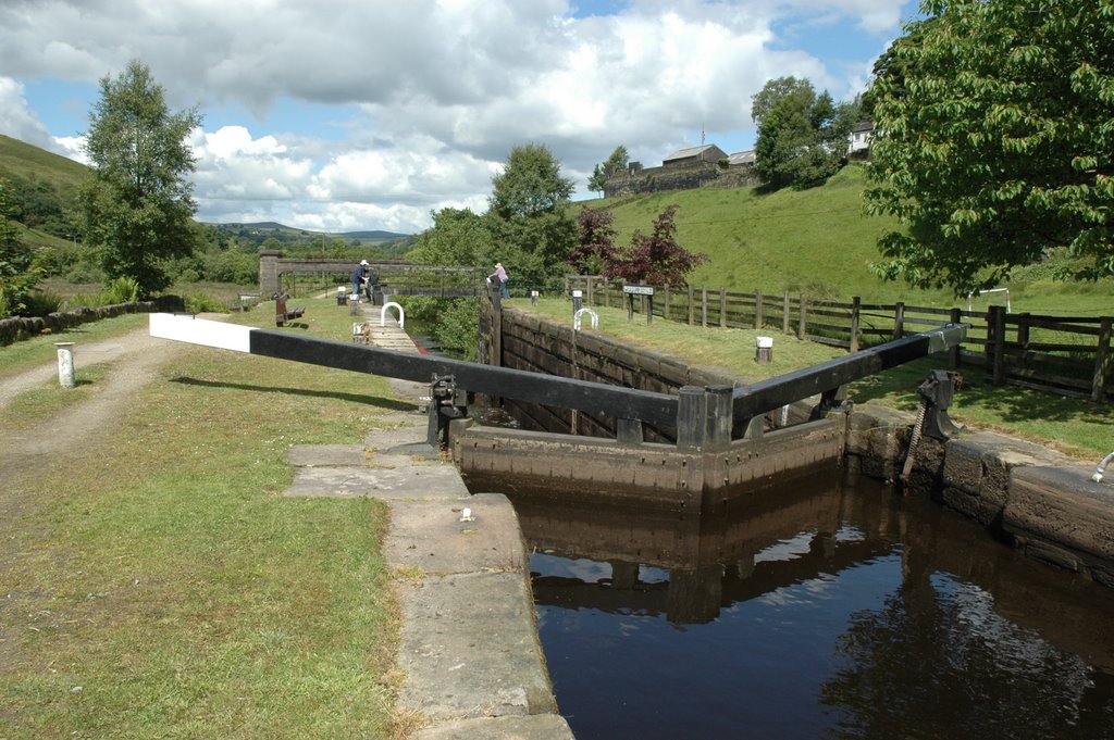
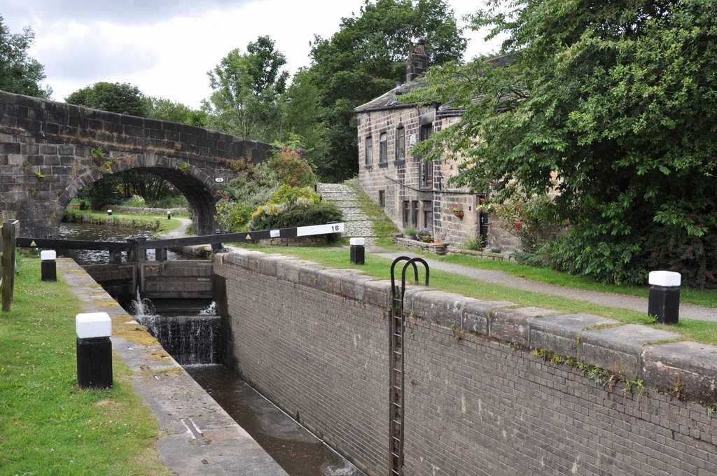
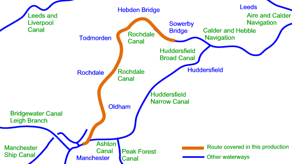
El Rochdale es un canal amplio debido a que sus esclusas son lo suficientemente amplias como para permitir a buques de 14 pies de ancho. El canal tiene una longitud de 32 millas (51 km) cruza los Peninos desde el canal de Bridgewater en Castlefield en Manchester para unirse al tramo navegable de Calder y Hebble en el puente de Sowerby en West Yorkshire.
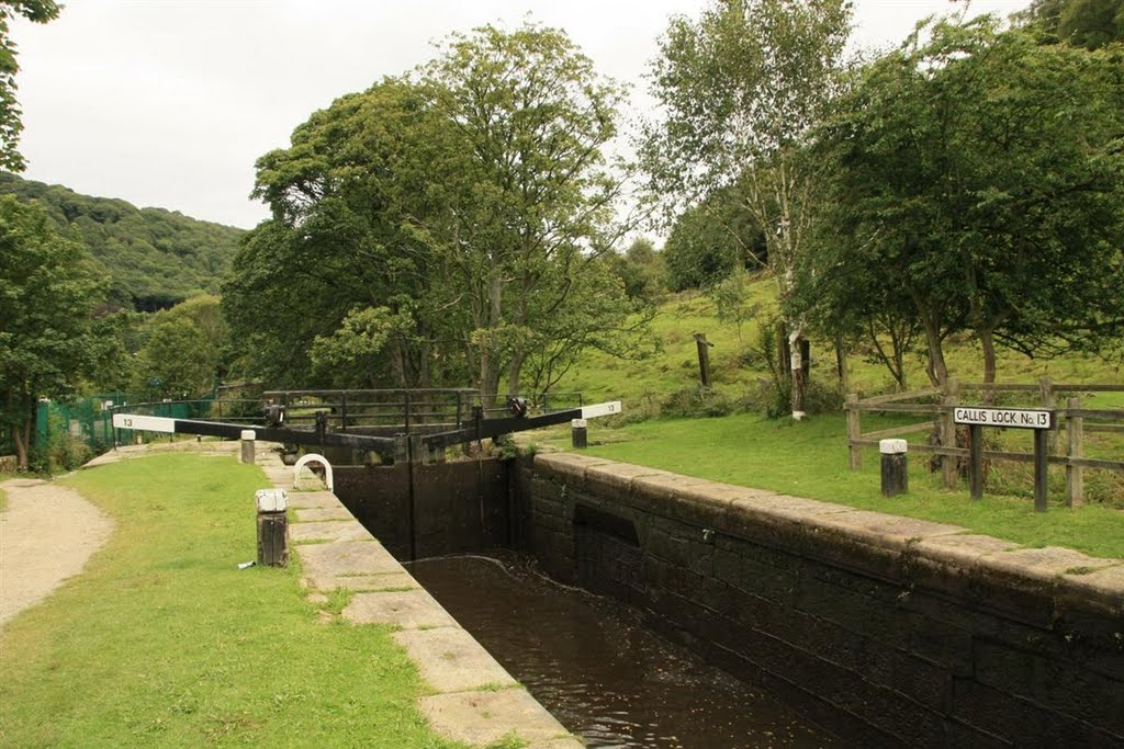
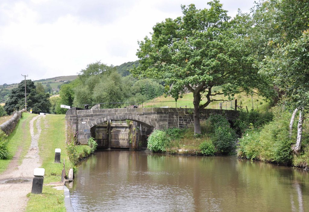
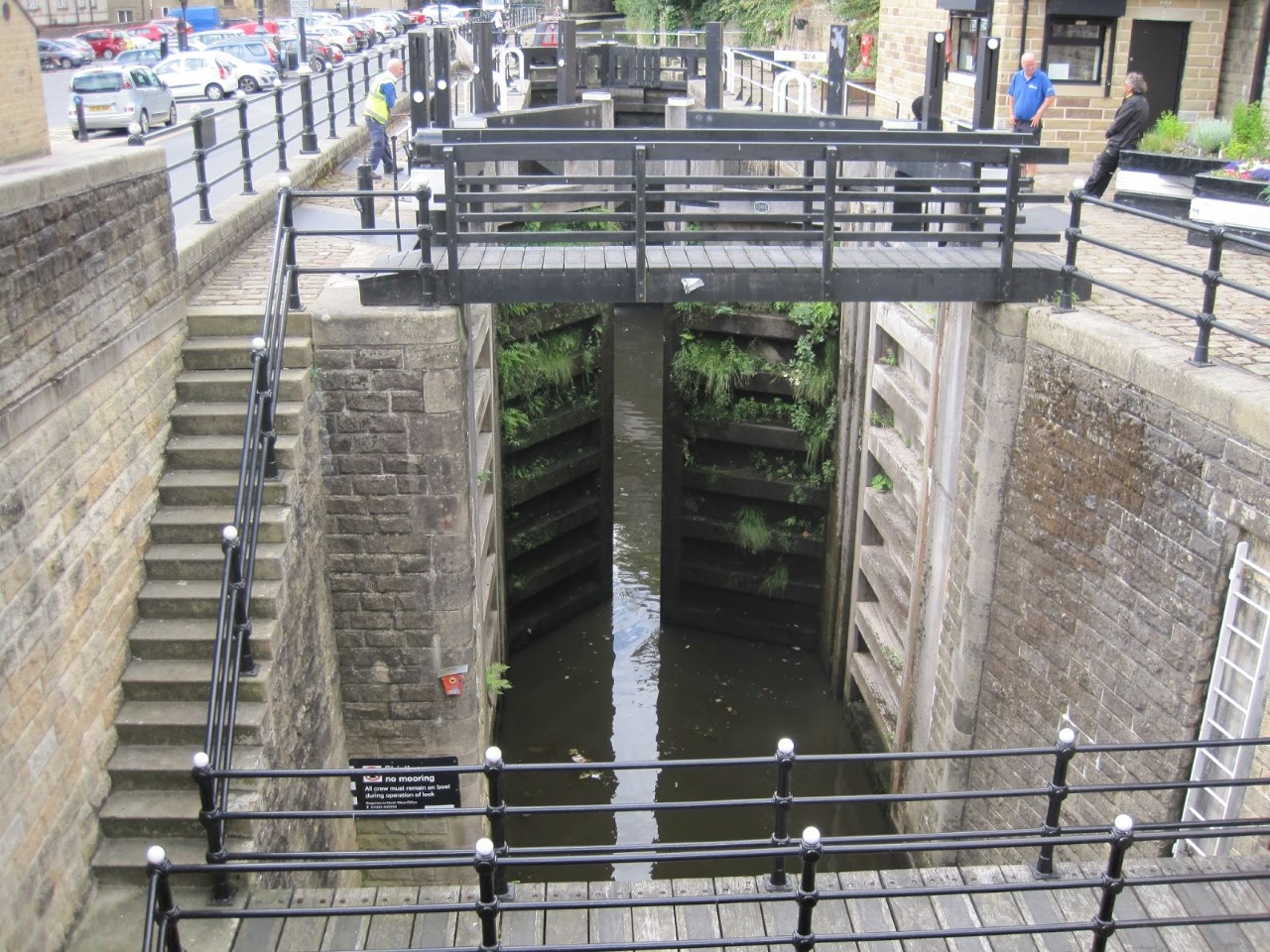
Originalmente, el canal tenía 92 esclusas. Mientras que la numeración de ls esclusas se ha conservado en todas las cerraduras restauradas, y en las esclusas reubicadas, el canal tiene ahora 91. Las esclusas 3 y 4 se han sustituido por un única esclusa profunda, la esclusa se numera ocmo 3/4.
https://en.wikipedia.org/wiki/Rochdale_Canal
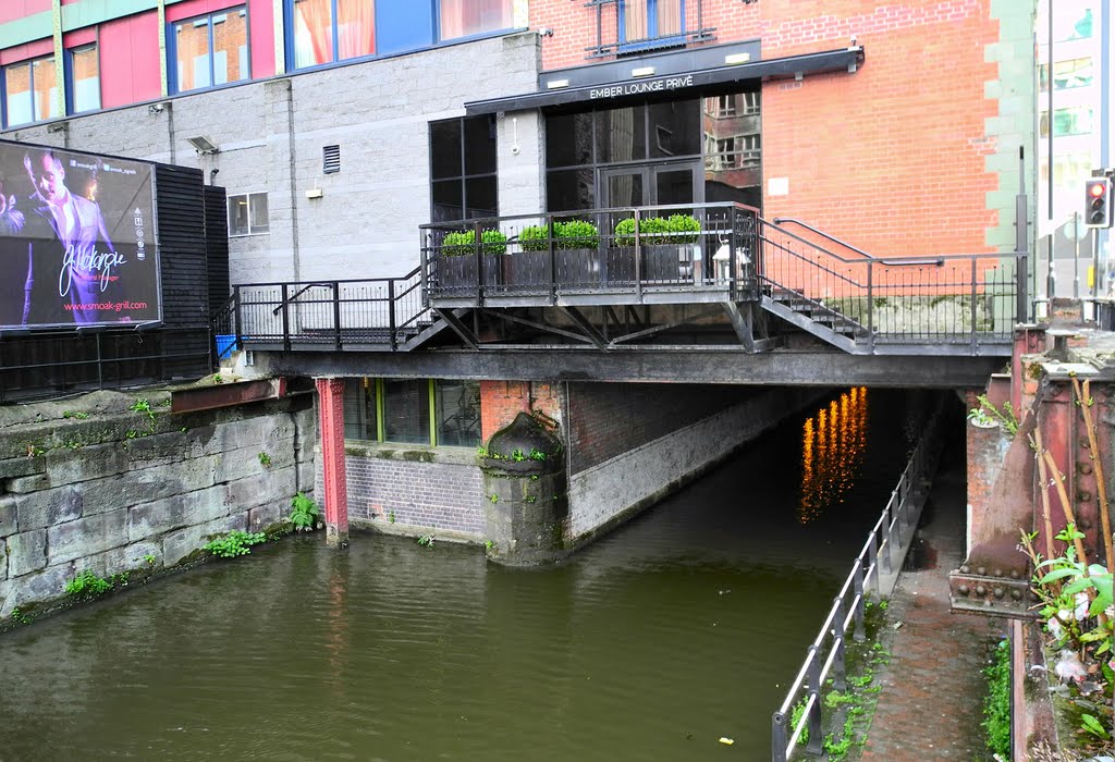
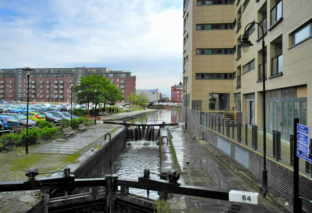

The Rochdale Canal from Sowerby Bridge to Todmorden and Manchester
Researched and written by Jeannette Briggs
The Rochdale Canal was built by 1804, unusually as a wide beamed canal, with locks capable of taking large barges and even small coastal vessels. It was designed as a connecting canal to enable heavy goods to be transported over the Pennine chain of mountains from the east coast ports like Hull to Manchester and onward to Liverpool and Ireland. Like the Leeds and Liverpool canal the biggest problem for the canal owners was that of maintanance of a constant supply of water to feed the summit pound. In dry summers the canal often had to be closed along the top lengths because of the lack of water.
Trade on the canal was constant right up until the First World War, but with competition from railways and roads inevitably the canal was used less and less. The last loaded barge which is known to have traversed the Pennines with a cargo from Manchester to Sowerby Bridge Yorkshire finished its journey in 1937. The canal fell into disrepair and was closed in 1952.
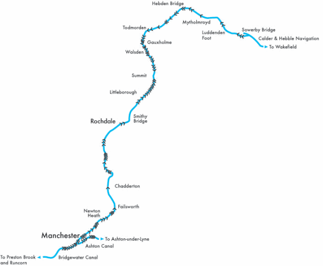
However, by 1975 there was a movement to restore the canal for leisure use, and over the past 30 years the Rochdale Canal Society has worked continuously with the local authorities and volunteer labour to reopen the canal, which is now navigable all the way from Sowerby Bridge and its junction with the Calder and Hebble Canal up to Todmorden and Littleborough in Lancashire and on right up to the junction with the Ashton and Bridgewater canals in Manchester.
Restoration was not actually complete along its entire length until 2002. It is a huge success story, and it enables boaters to complete another high level "Pennine Ring" using the Rochdale and the Leeds and Liverpool canals. The canal is owned an operated by the Waterways Trust and you will need a special licence to use it.
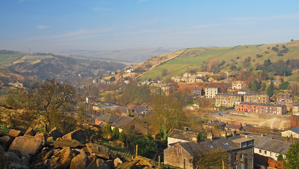
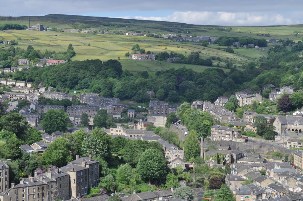
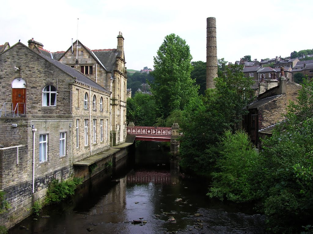
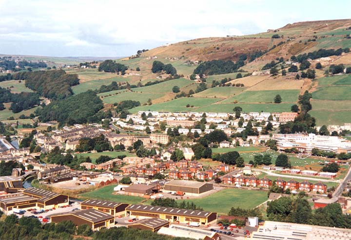
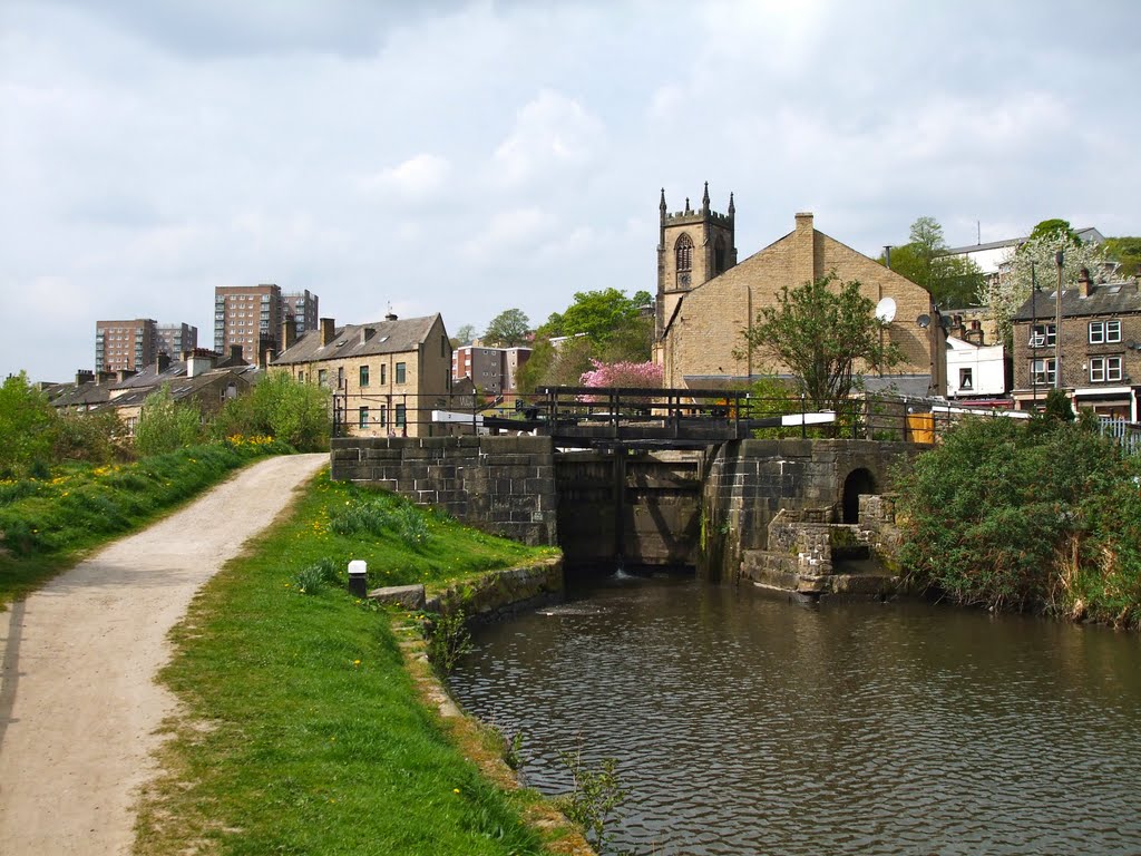
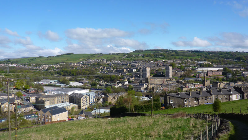
The canal starts at Sowerby Bridge Yorkshire, which it branches off in a westerly direction from the Calder and Hebble canal. The canal passes through some fairly industrial scenery, up the valley of the River Calder.
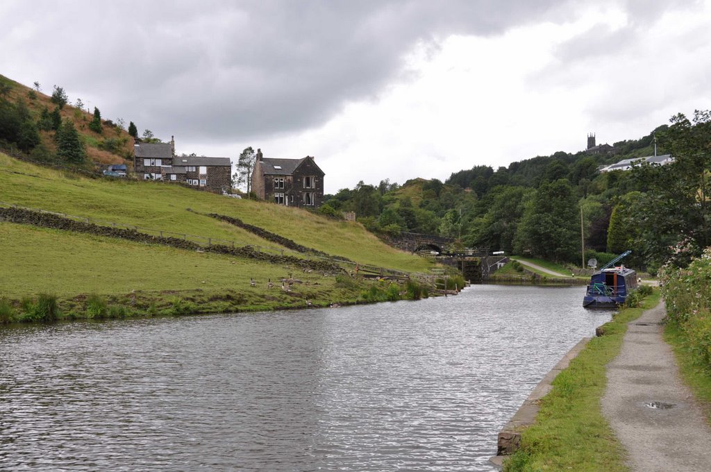
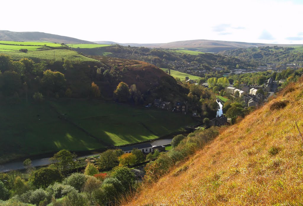
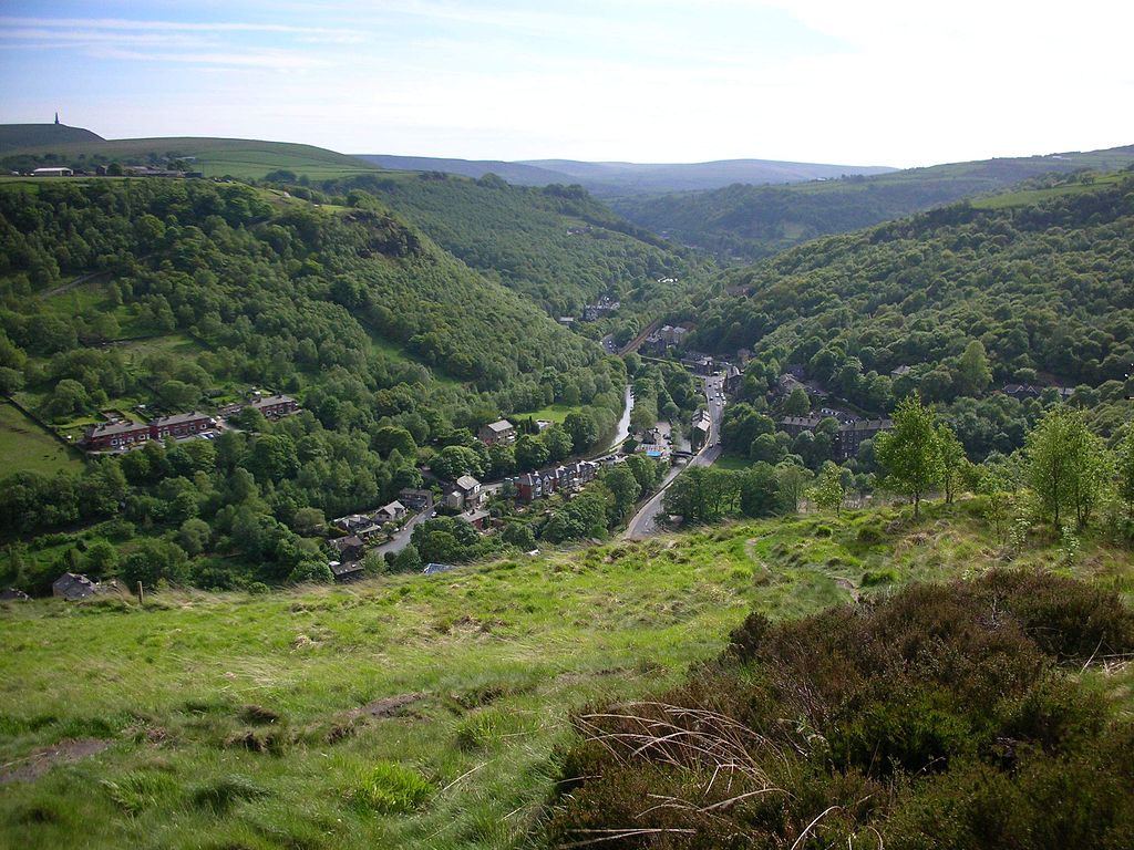
By the time you reach Luddenden Foot the scenery becomes more "green" with small fields stretching up either side of the hills on both sides of the valley, and each field surrounded by dry stone walls so characteristic of Yorkshire and the Pennines.
http://www.canalguide.co.uk/canals/britain_canal_roch.htm
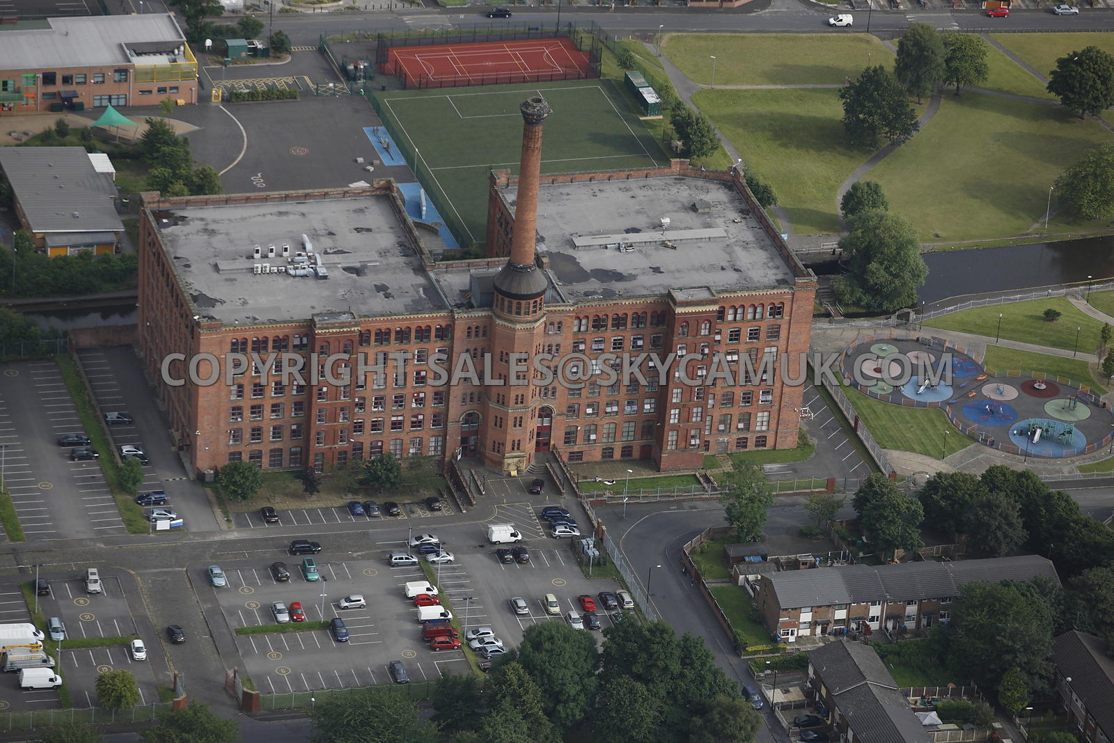
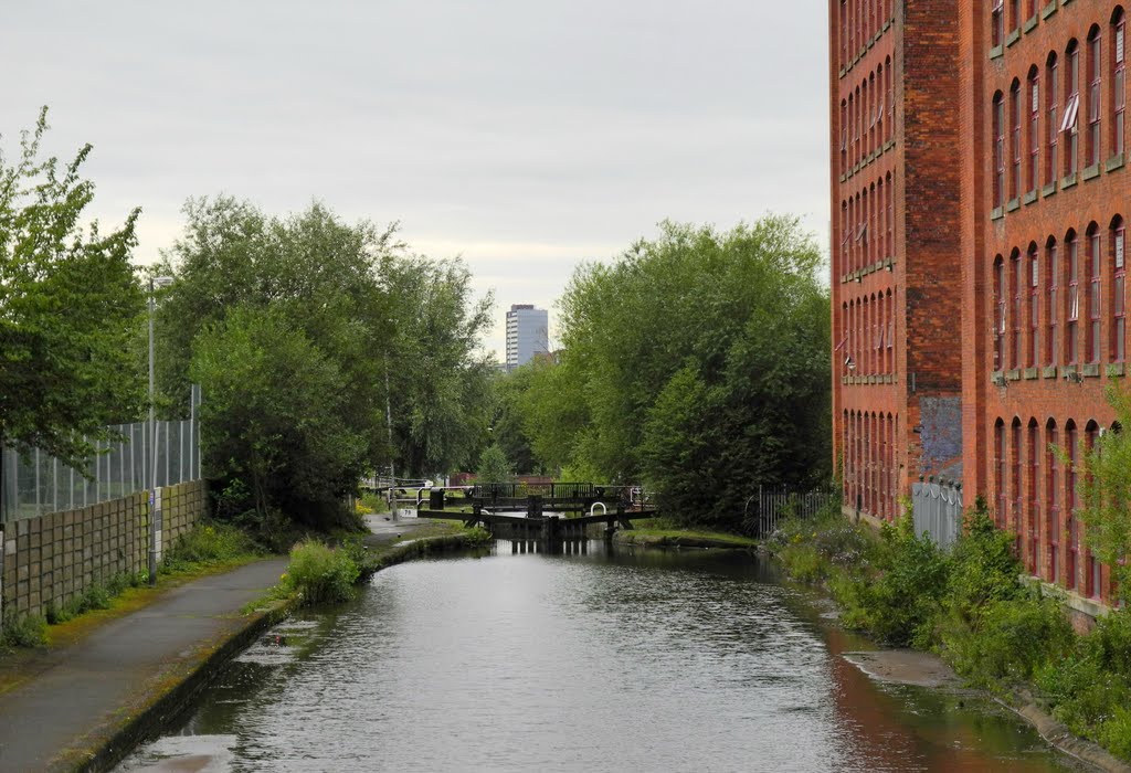
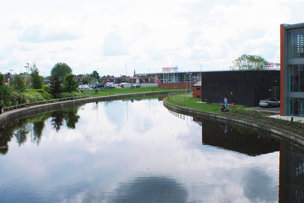
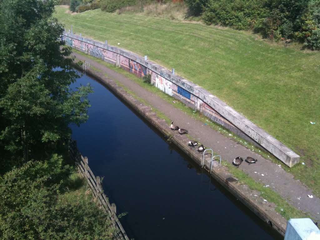
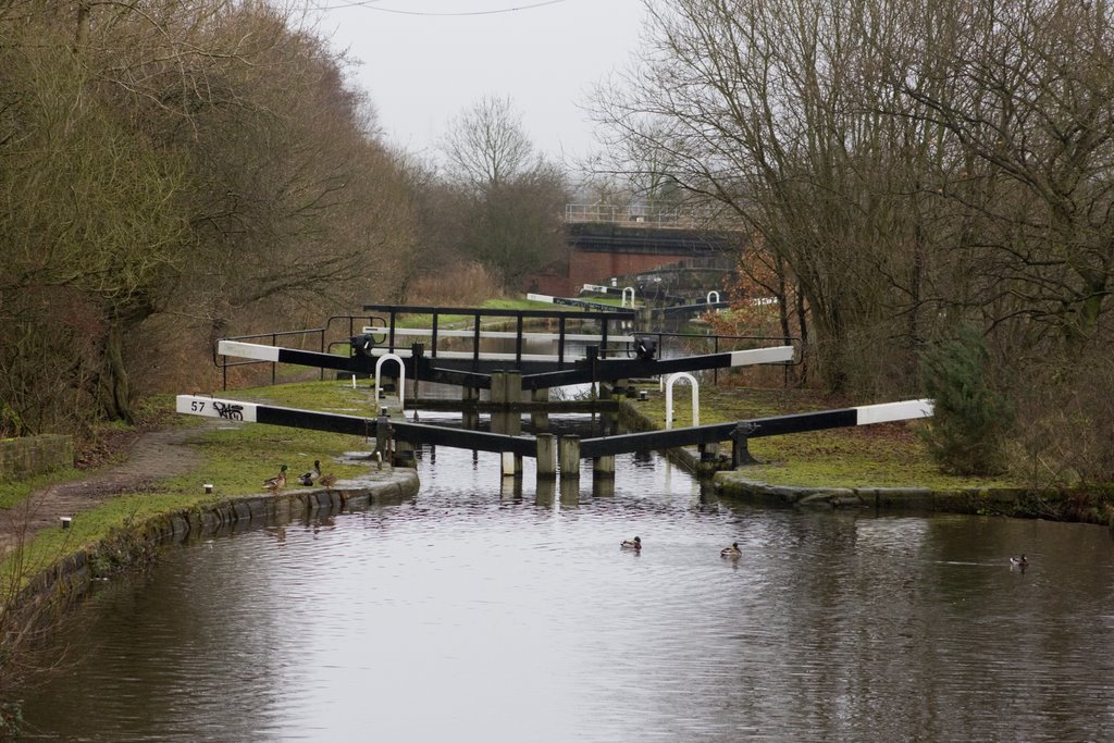
Rochdale Canal
The Rochdale Canal crosses the rugged heights of the Pennines from Manchester to Sowerby Bridge. The steep climb means lots of locks and an exhausting but exhilarating journey with stunning views.
For boaters, this canal is a peaceful place to escape the crowds. The towpath is probably the easiest walking route through the Pennines, taking you into the heart of the hills at a relatively gentle gradient. However, there is also plenty of access to more challenging routes for serious hiking.
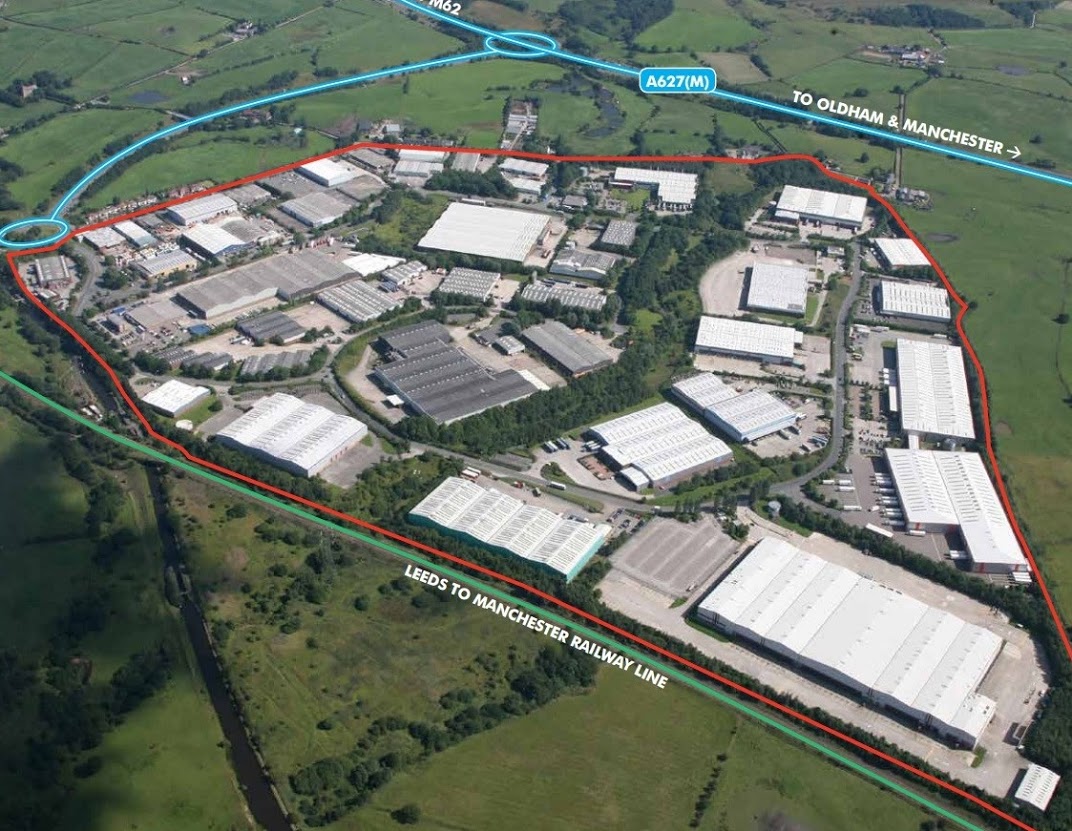
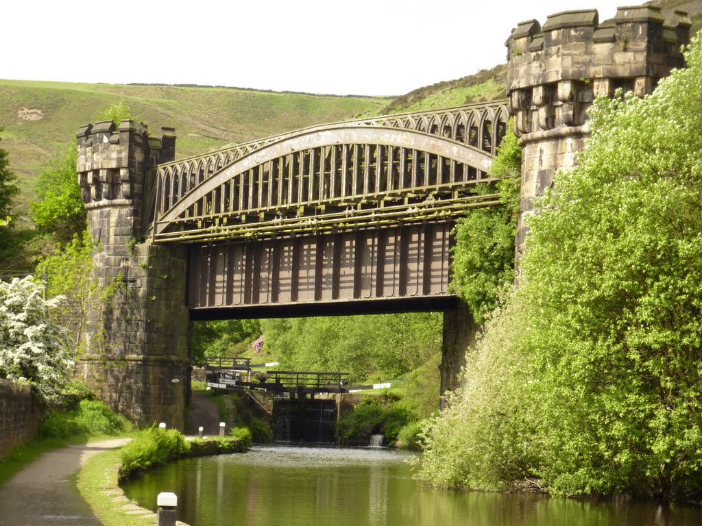
The Rochdale Canal re-opened to boats in 2002 after an ambitious volunteer restoration project that brought an end to more than 50 years without through navigation. Obstacles had included two motorways, countless road blockages and a scheme to fill the channel with concrete.
https://canalrivertrust.org.uk/enjoy-the-waterways/canal-and-river-network/rochdale-canal
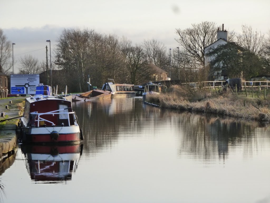
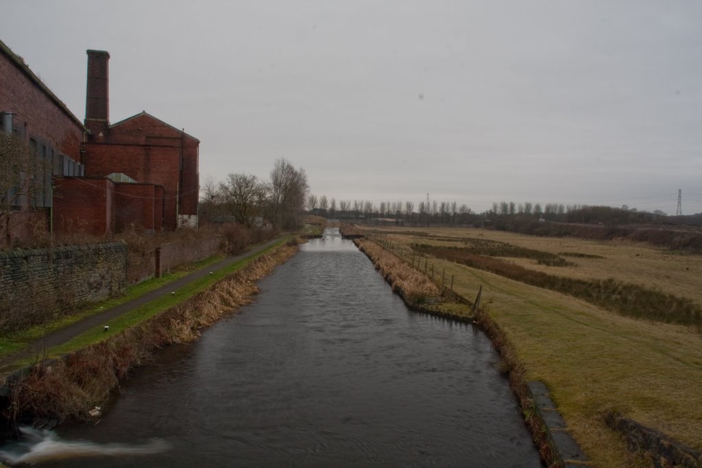
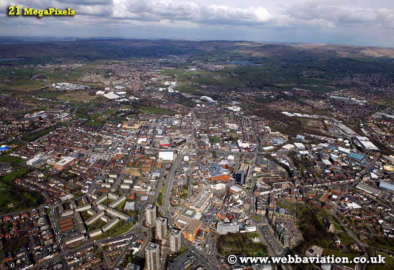
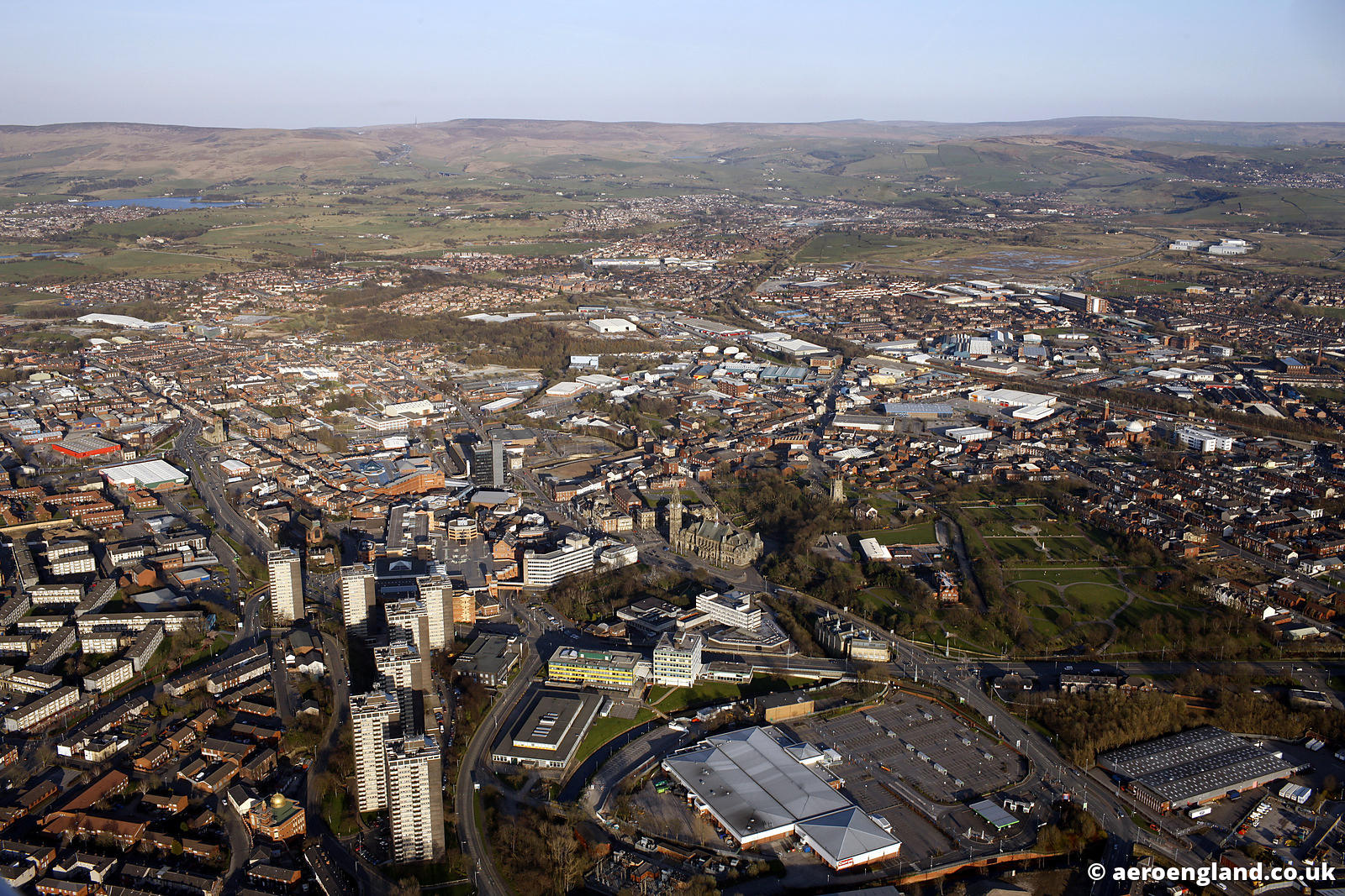

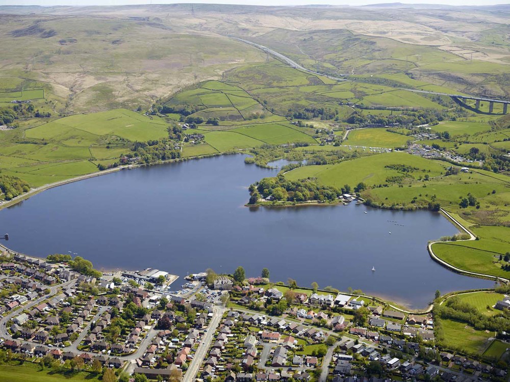
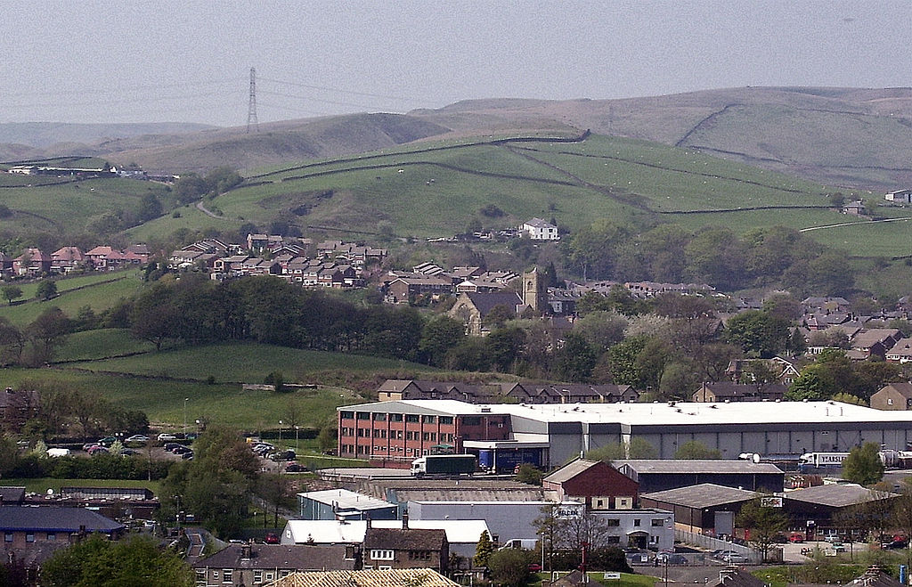
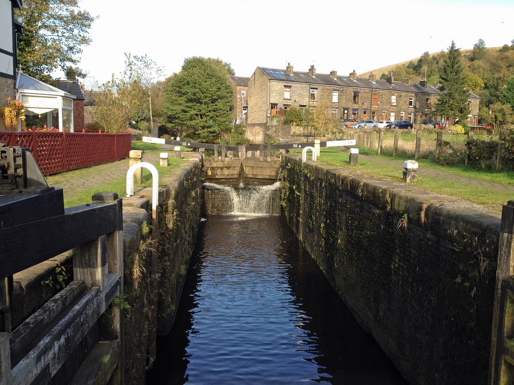
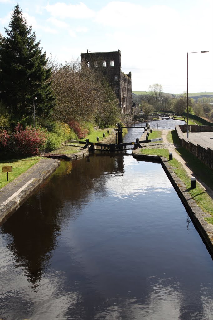
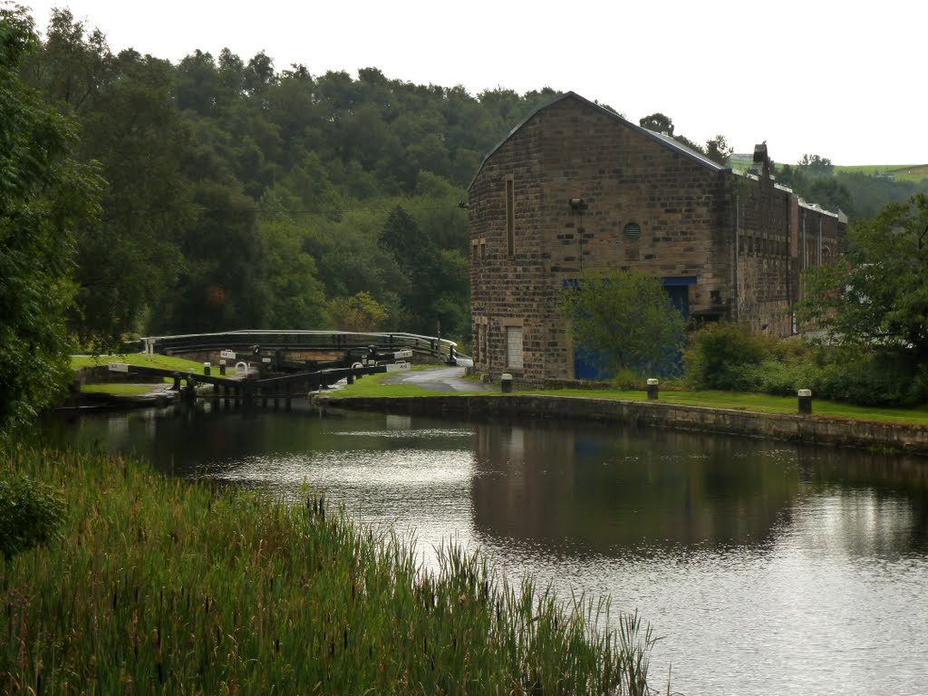
The Rochdale Canal
The Rochdale Canal runs for 33 miles between Manchester and Sowerby Bridge in West Yorkshire, UK.
In Sowerby Bridge it connects with the Calder and Hebble Navigation. In Manchester it connects with the Ashton and Bridgewater Canals.
The canal was re-opened to navigation along its entire length in July 2002 and forms part of the South Pennine Ring.
The site features photographs of the restoration work on the western half of the Rochdale Canal as well as a Virtual Cruise of the entire canal.
http://www.penninewaterways.co.uk/rochdale/
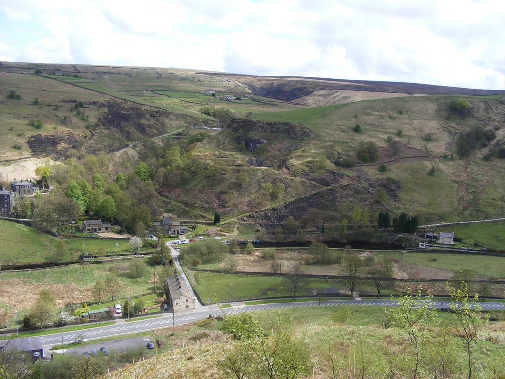
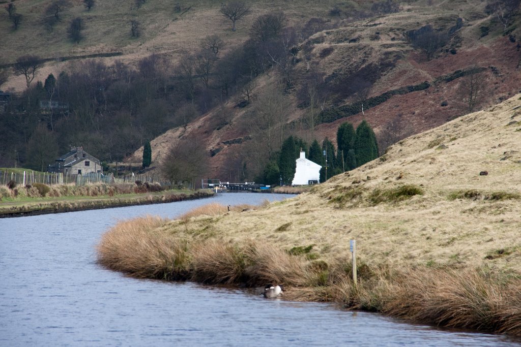
Rochdale Canal
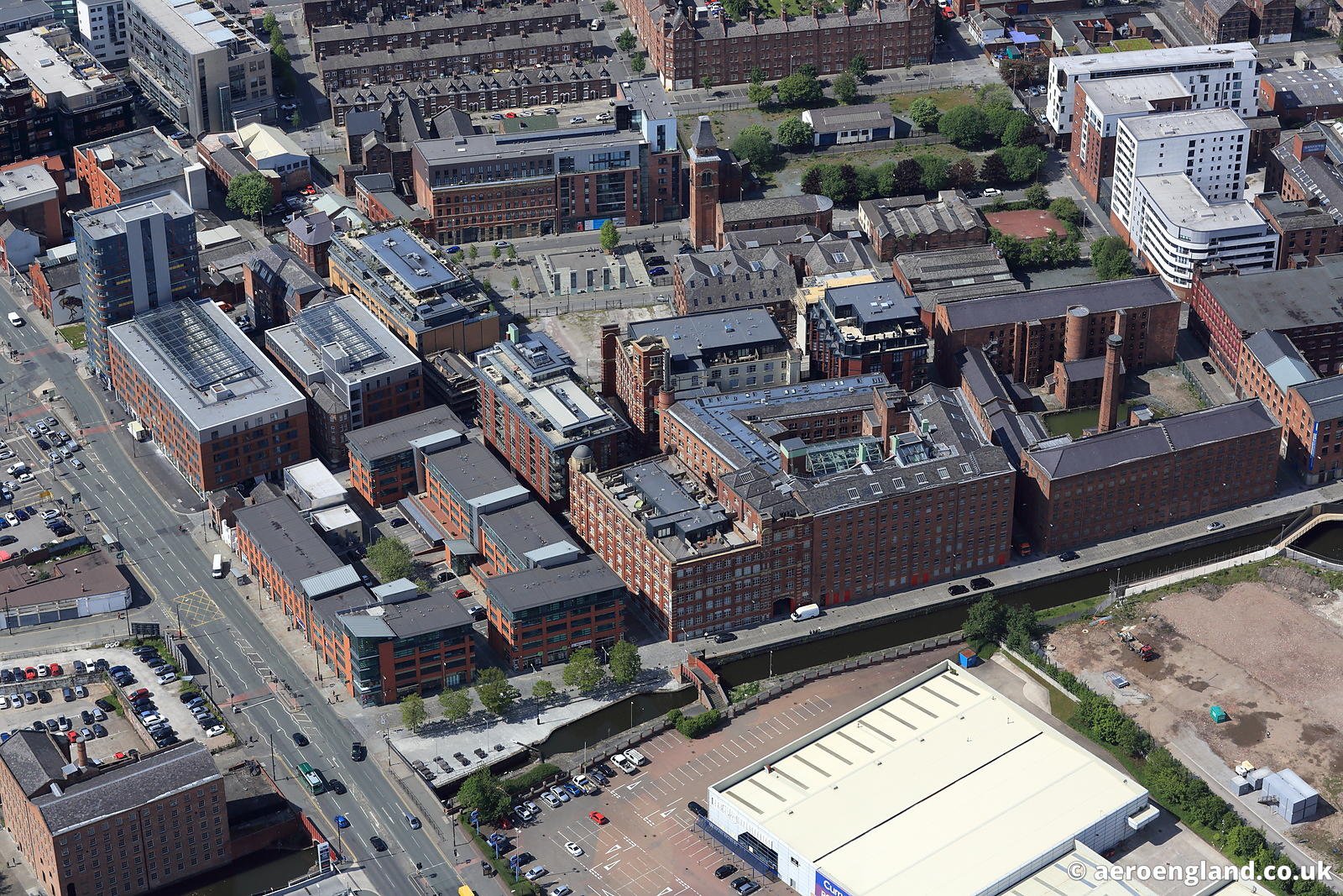
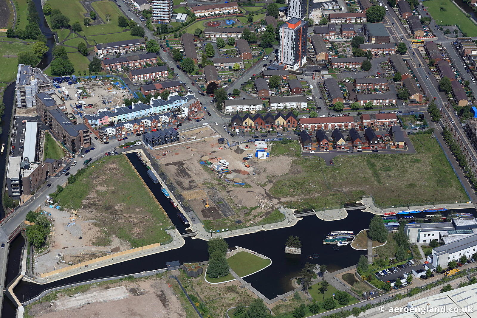
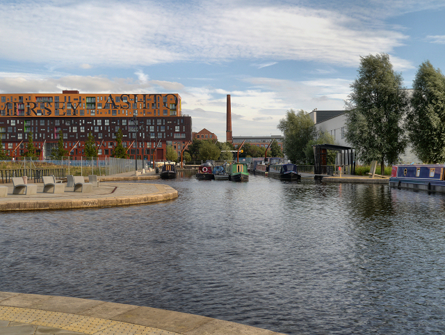
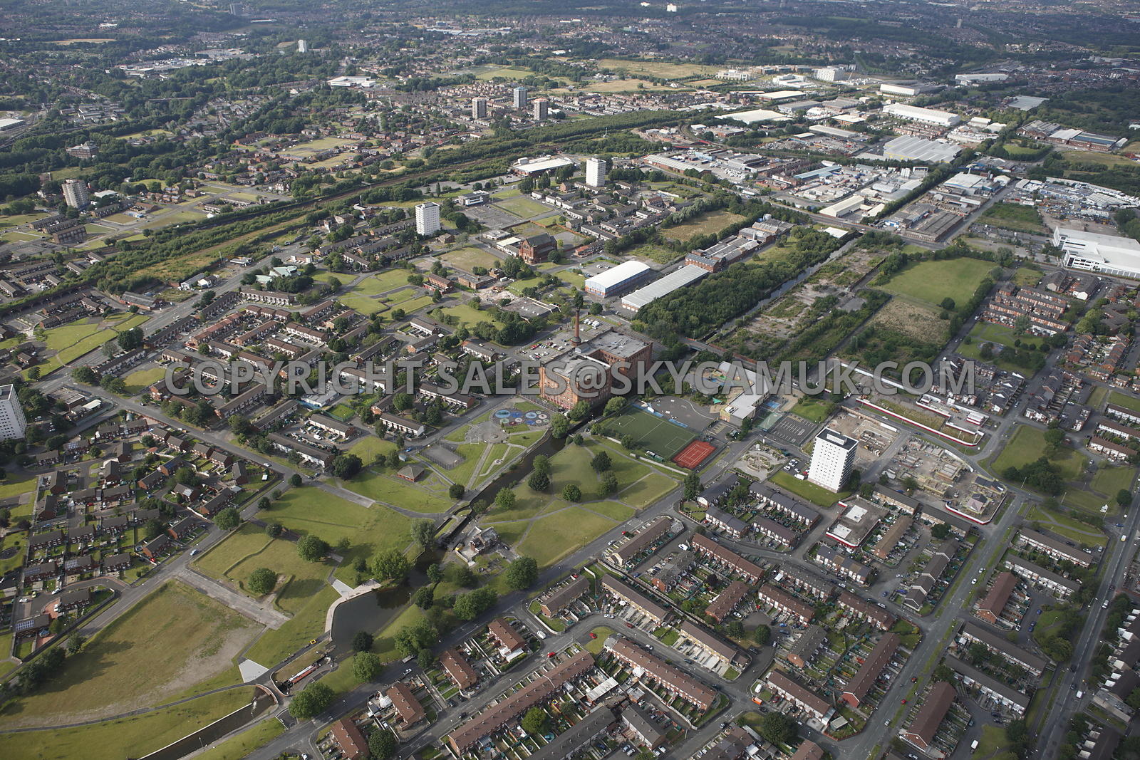
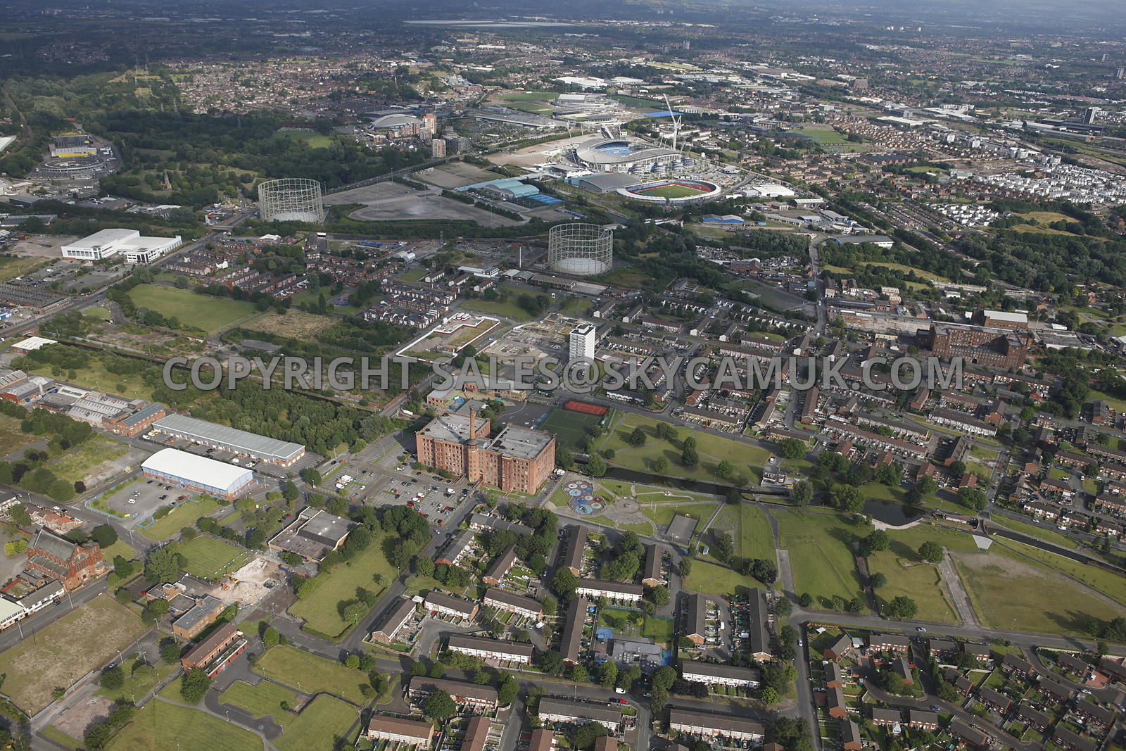
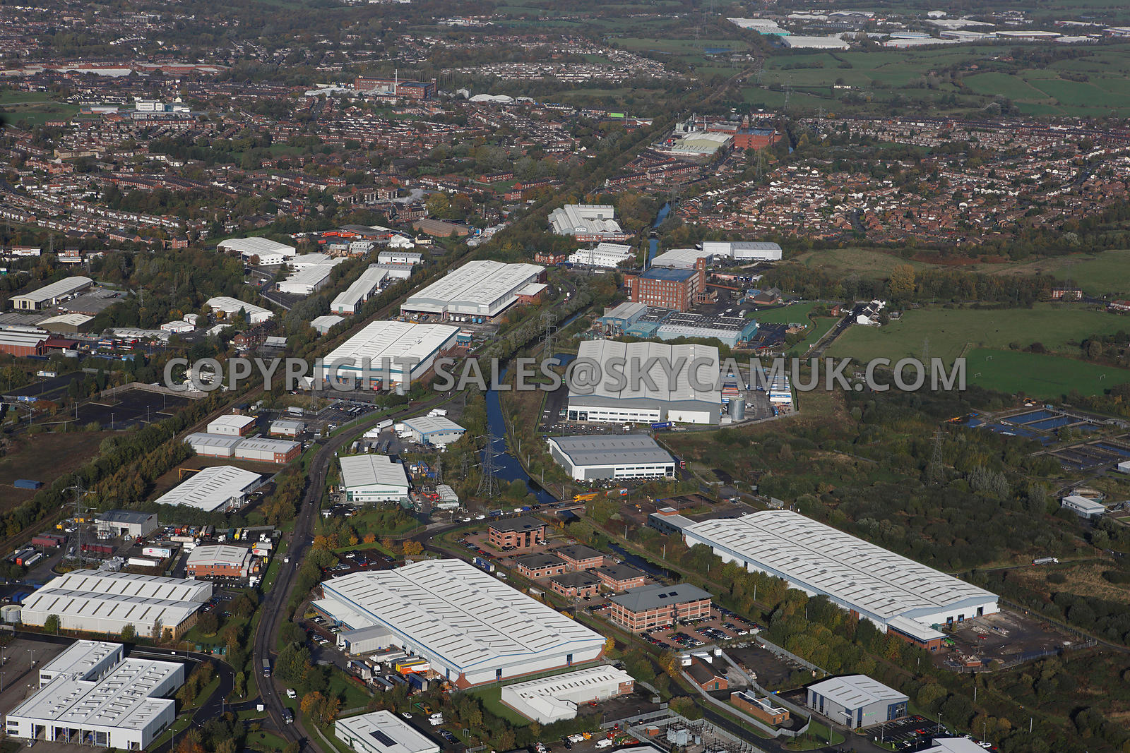
The Rochdale Canal runs from the Bridgewater Canal at Castlefield Junction in Manchester to the Calder & Hebble Navigation at Sowerby Bridge. The Ashton Canal joins at Ducie Street Junction in east Manchester. There was a short arm into Rochdale, now closed and filled in. The canal is 32 miles (51.5km) long and has 91 locks.
The maximum boat size that can navigate the canal is:
length: 71' 11" (21.92 metres) - Lock 19 (Todmorden / Library Lock)
beam: 13' 2" (4.01 metres) - Lock 26 (Pinnel Lock, Todmorden)
height: 6' 4" (1.93 metres) - M62 Bridge
draught: 4' 5" (1.35 metres) - cill of Lock 26
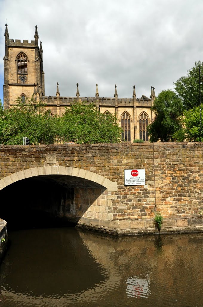
Tuel Lane locks (3 and 4) are operated by a lock-keeper (restricted hours; need to book Tuesdays, Wednesdays and Thursday in summer and at all times in winter)
https://www.waterways.org.uk/waterways/canals_rivers/rochdale_canal/rochdale_canal
http://moore2life.co.uk/canals/rochdale/rochdale1.htm
http://manchesterhistory.net/manchester/tours/tour1/dukeslock.html
http://aeroengland.photodeck.com/-/galleries/greater-manchester/manchester
http://skycamuk.photodeck.com/-/galleries/manchester/page/16
Vídeo:
Web recomendada: http://www.myrochdalecanal.org.uk/
Contador: 5667
Inserción: 2016-08-24 17:12:27
Lugares a visitar en un radio de 100 km (en línea recta)
Mapa de los lugares a 100 km (en línea recta)
Mostrando Registros desde el 1 hasta el 0 de un total de 0
Visitas |
Más visitados Basílica de San Marcos 154978 Catedral de Notre Dame (París) 144284 Torre de Pisa 131628 Monte Saint-Michel 100727 Presa de las Tres Gargantas 81584 |
Incorporaciones |
Comentarios hazola Cúpula de la Roca gracias me... gera Buenos Aires las mejores fotos de la mejor ciudad del... Daniel M. - BRASIL San Francisco ... PEQUE Presa Chicoasén SERA QUE ALGUIEN ME PUEDE DAR MAS INFORMACIÓN DE ESTE PROYECTO ESTUDIO EN LA UNACH Y ES PARA UN... Mery Huaca Pucllana Muy interesante, muy buena la información y... |
 Tweet
Tweet


