
Nombre:
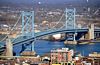
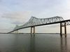
Puente Walt Whitman
Otro:
Localización:
View Larger Map
Récord: 3652 m
Récord de Anchura de Vano: 610 m
Tipo: Puentes
Categoría:
Foto:
Voto:
Continente: América
País: Estados Unidos
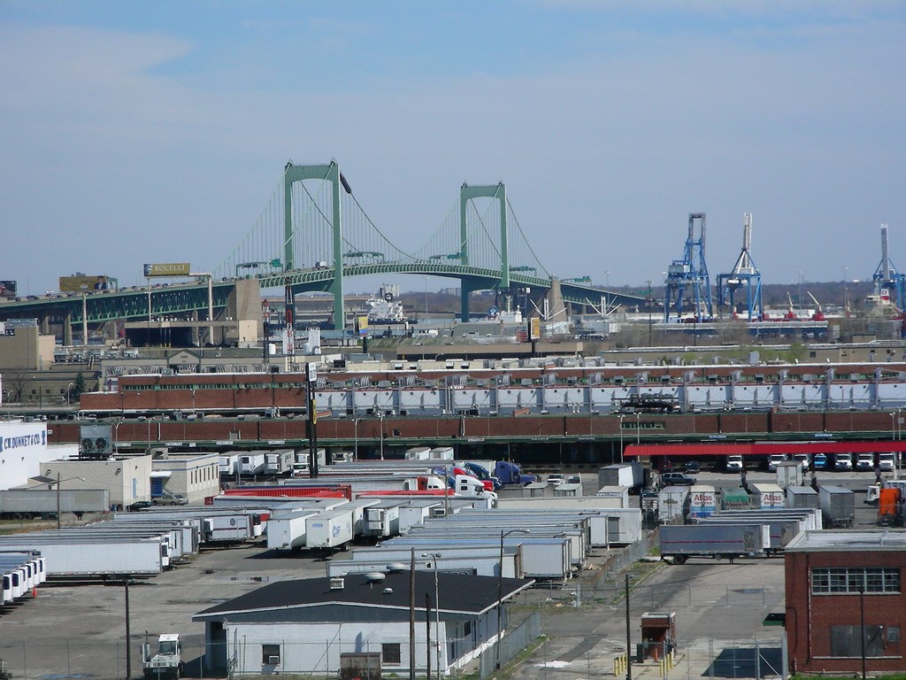
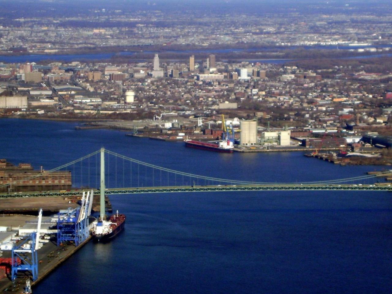
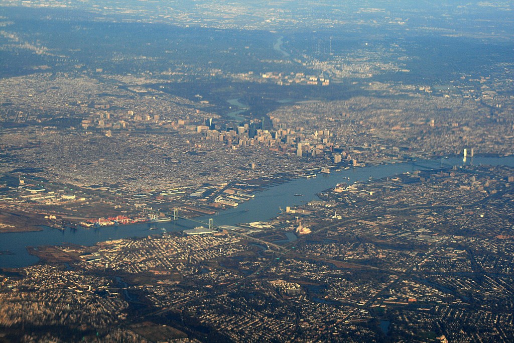
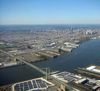
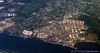
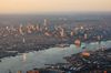
Localización: Río Delaware entre Filadelfia y la ciudad de Gloucester, en el Condado de Camden, Nueva Jersey
Año: 1957
Estado: Terminado
Descripción:A NEW DELAWARE RIVER BRIDGE: By the early 1950's, the Philadelphia City Planning Commission finalized the route of the bridge and its expressway approaches. Connecting the proposed Schuylkill Expressway with the North-South Freeway, a new route being developed by the New Jersey State Highway Department, the Philadelphia-Gloucester Bridge (as it was then called) was to also alleviate congestion on the Benjamin Franklin Bridge, which was carrying more than 75,000 vehicles per day, four miles to the north.
The new Delaware River Port Authority (DRPA), a new bi-state agency comprised of Pennsylvania and New Jersey officials, was charged with the construction and maintenance of the proposed crossing. From the beginning, the DRPA proposed a seven-lane bridge for the South Philadelphia-Gloucester crossing. The bridge plan was opposed by the mayors of Gloucester City and Camden, who contended that their four-lane tunnel alternative would require fewer right-of-way acquisitions, and would not blight the surrounding area like the bridge alternative would.
Meanwhile, the DRPA defended its plan, stating that the bridge alternative would handle more traffic, cost $24 million less and take one less year for construction than would the tunnel alternative. In August 1952, the DRPA received permission from the Army Corps of Engineers to construct the bridge.
The new crossing was to be called the Walt Whitman Bridge, after the nineteenth-century poet and author of Leaves of Grass (which was hailed as the "Declaration of Independence of American letters") who spent the last 19 years of his life in nearby Camden. The naming of the bridge itself was a subject of controversy. While the span was still under construction, the Catholic Diocese of Camden and local officials in South Jersey led a letter-writing campaign against the naming of the bridge after Whitman because of his homosexuality.
http://www.phillyroads.com/crossings/walt-whitman/
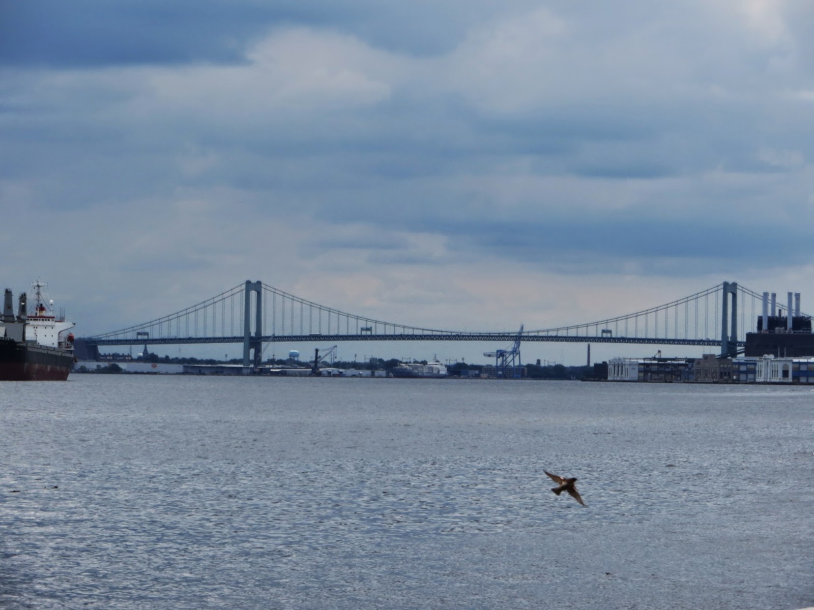
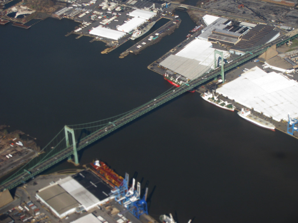
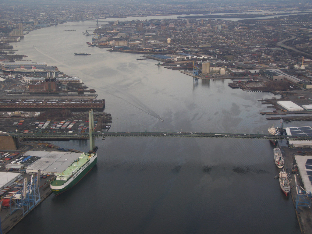
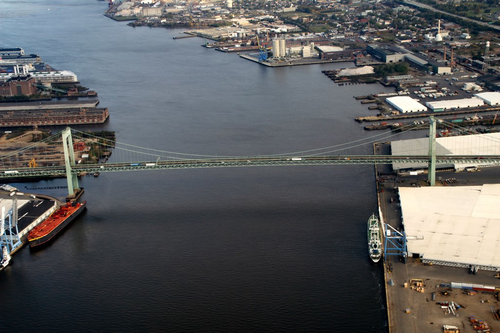
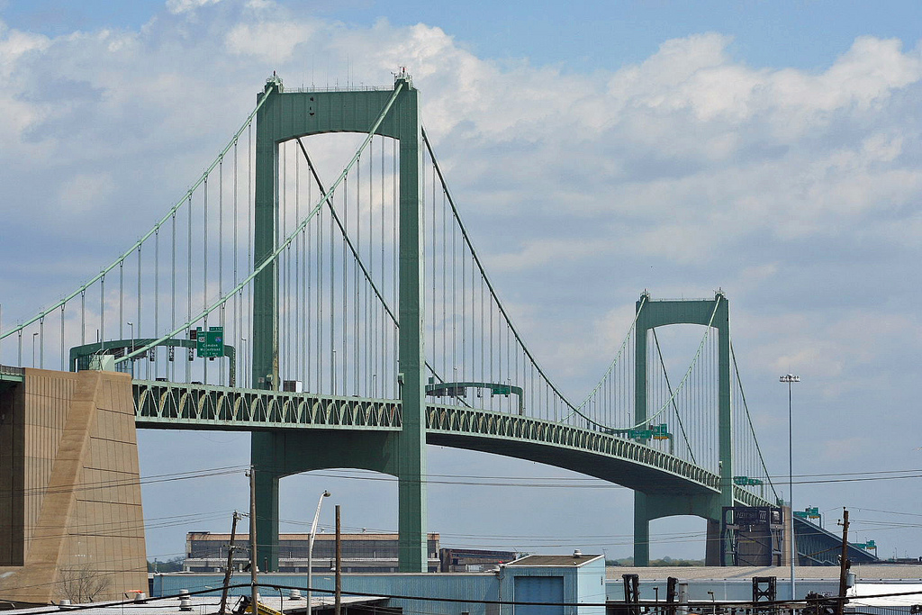
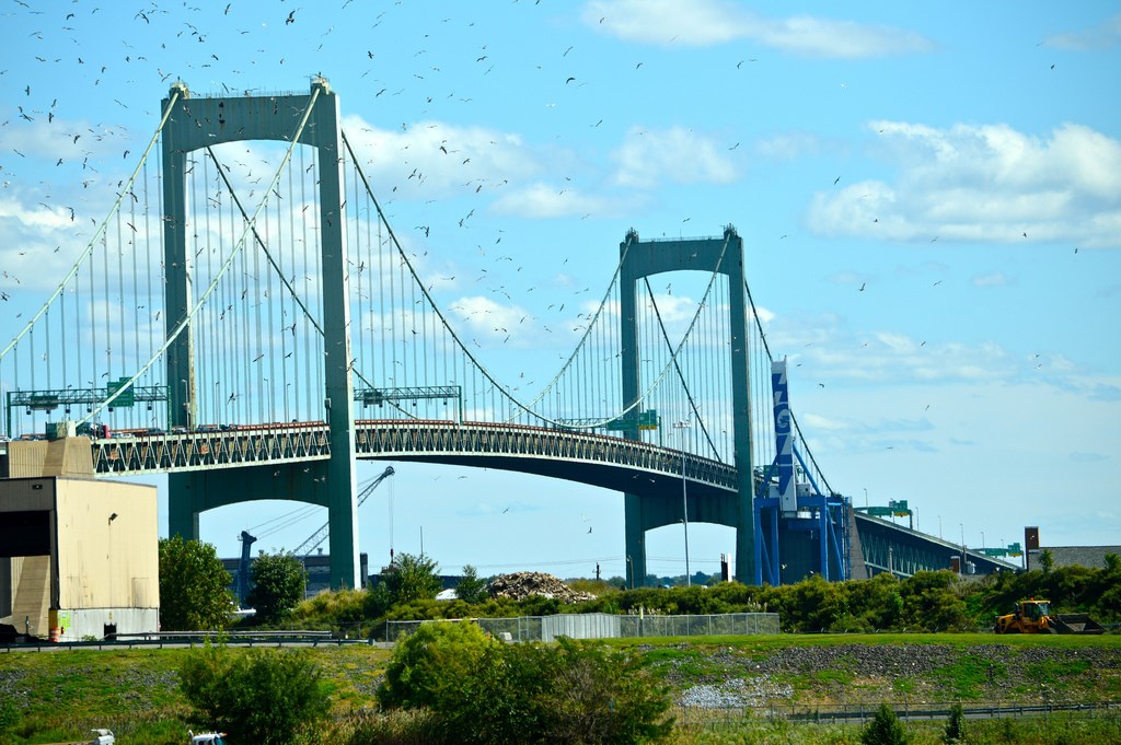
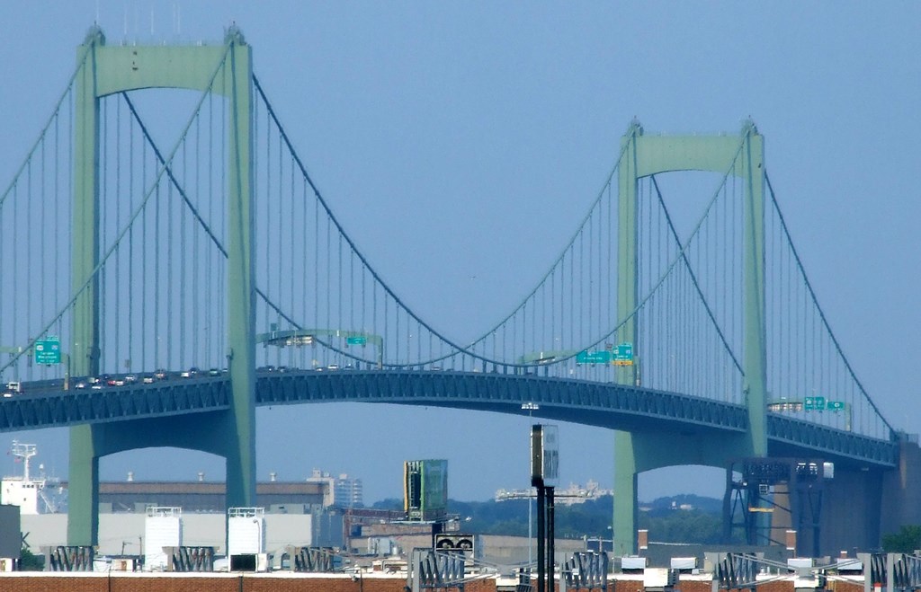
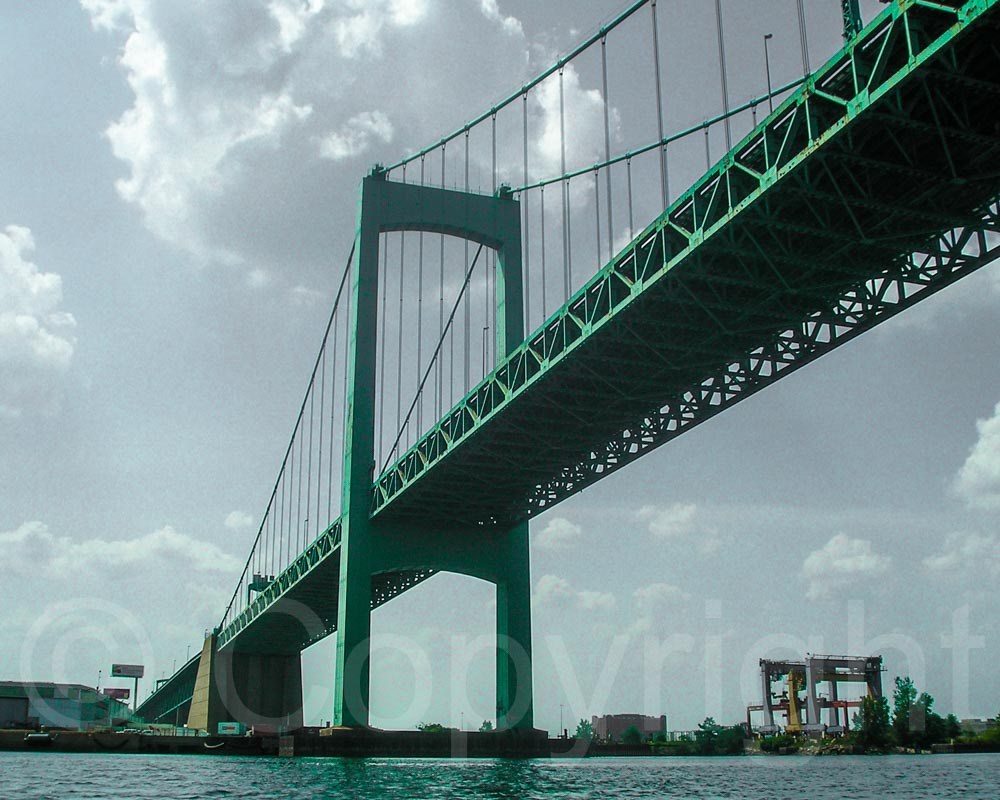
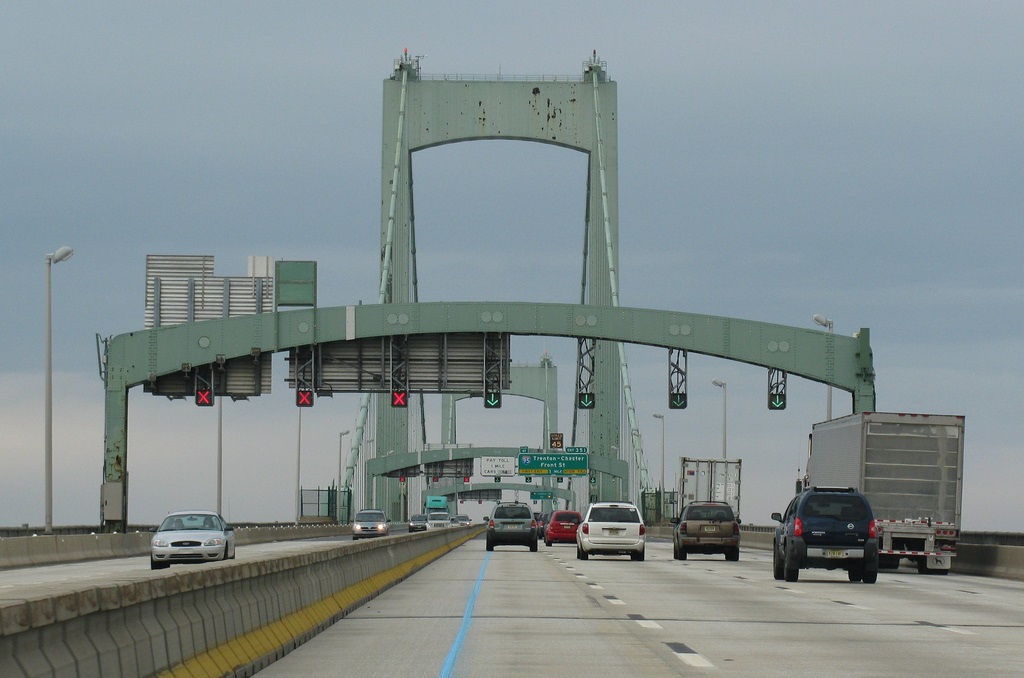
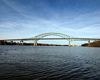
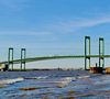
The Walt Whitman Bridge is a green-colored single-level suspension bridge spanning the Delaware River from Philadelphia to Gloucester City, in Camden County, New Jersey, United States. Named after the poet Walt Whitman, who resided in nearby Camden toward the end of his life, the Walt Whitman Bridge is one of the larger bridges on the east coast of the United States. The bridge is owned and operated by the Delaware River Port Authority. Construction on the bridge began in 1953,[1] and it opened to traffic on May 16, 1957.[1] The bridge has a total length of 11,981 feet (3,652 m),[1] and a main span of 610 metres (2,000 ft).[2] The bridge has seven lanes,[1] three in each direction and a center lane that is shifted variably (via a zipper barrier) to accommodate heavy traffic.[4]
The bridge is a part of Interstate 76 (at milepost 351.98) (which, between the river and the Pennsylvania Turnpike interchange in King of Prussia, Pennsylvania, is known as the "Schuylkill Expressway"). Along with the Benjamin Franklin Bridge, Betsy Ross Bridge, Delaware Memorial Bridge, and Commodore Barry Bridge, the Walt Whitman Bridge is one of five expressway-standard bridges connecting the Philadelphia area with southern New Jersey.
The bridge was designed by noted civil engineer Othmar Ammann.[2][4]
http://en.wikipedia.org/wiki/Walt_Whitman_Bridge
Vídeo:
Web recomendada: http://www.drpa.org/bridges/bridges_ww.html
Contador: 6503
Inserción: 2015-04-22 13:19:27
Lugares a visitar en un radio de 100 km (en línea recta)


Mapa de los lugares a 100 km (en línea recta)
Mostrando Registros desde el 1 hasta el 0 de un total de 0
Visitas RSS |
Más visitados Basílica de San Marcos  155125 Catedral de Notre Dame (París)  144447 Torre de Pisa  131755 Monte Saint-Michel  100844 Presa de las Tres Gargantas  81759 |
Incorporaciones |
Comentarios Anya155Kl  Forum 66 Hello friends! I came across a 155 valuable resource that I think you should check out. This... hazola  Cúpula de la Roca gracias me... gera  Buenos Aires las mejores fotos de la mejor ciudad del... Daniel M. - BRASIL  San Francisco ... PEQUE  Presa Chicoasén SERA QUE ALGUIEN ME PUEDE DAR MAS INFORMACIÓN DE ESTE PROYECTO ESTUDIO EN LA UNACH Y ES PARA UN... |


