Nombre:
Río Delaware
Otro:
Localización:
View Larger Map
Récord: 579 km
Tipo: Naturales
Categoría: Ríos
Foto:
Voto:
Continente: América
País: Estados Unidos
Localización:
Año:
Estado: Terminado
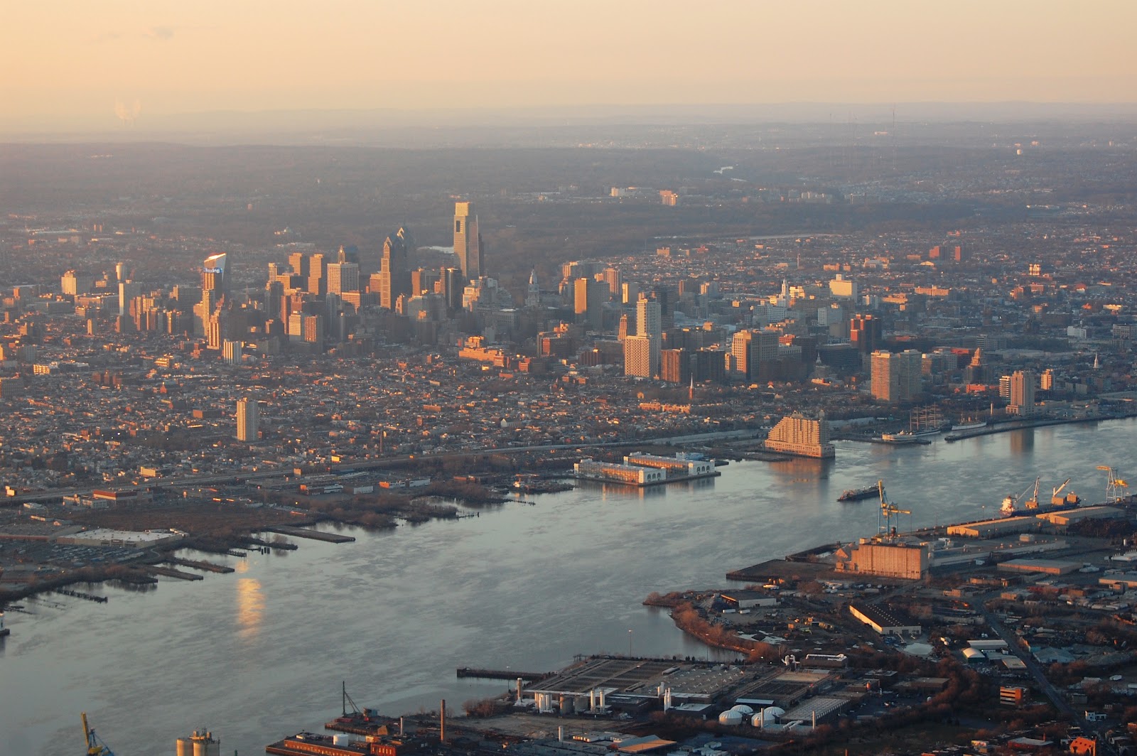
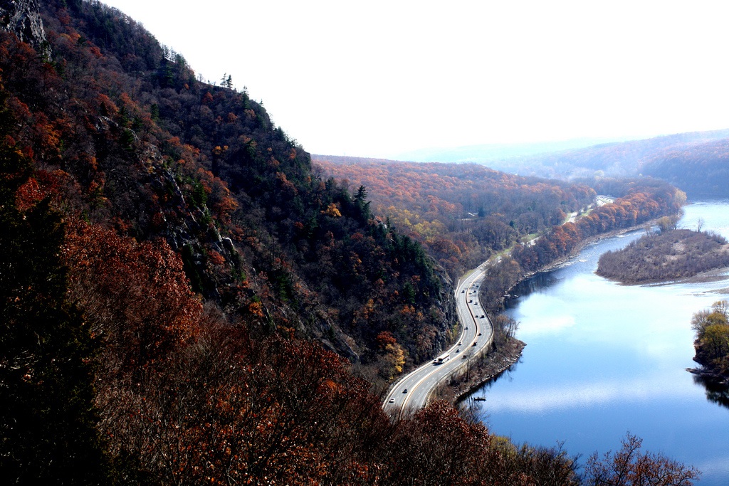
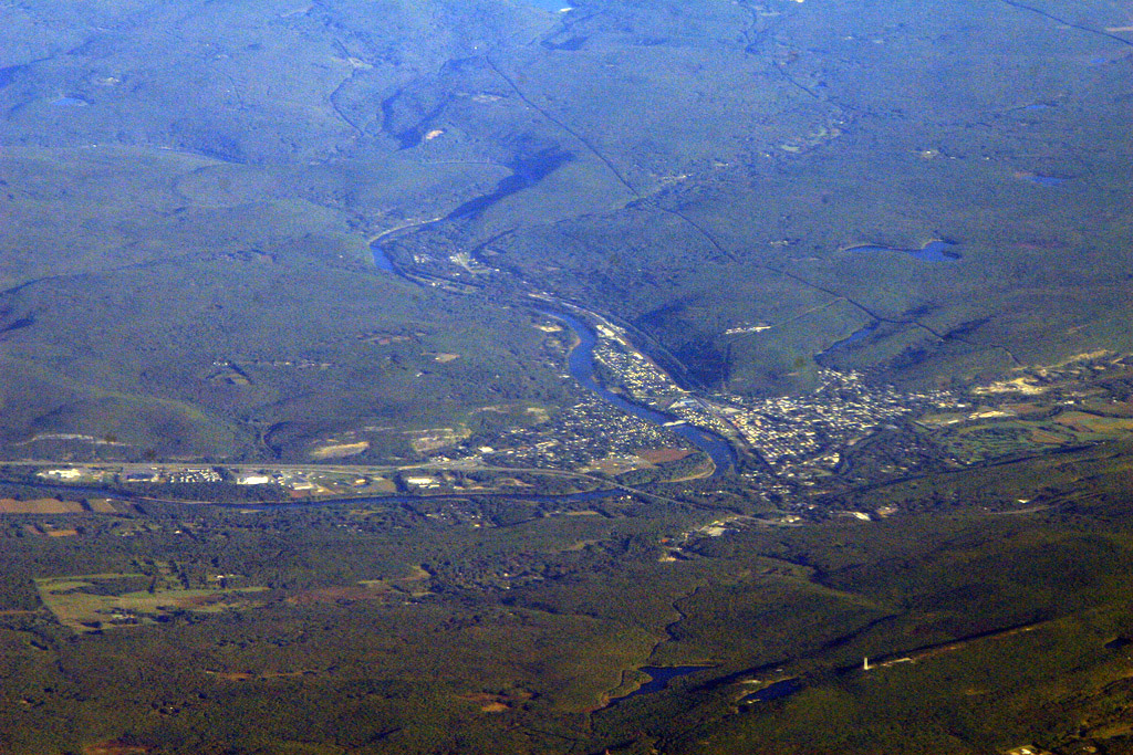
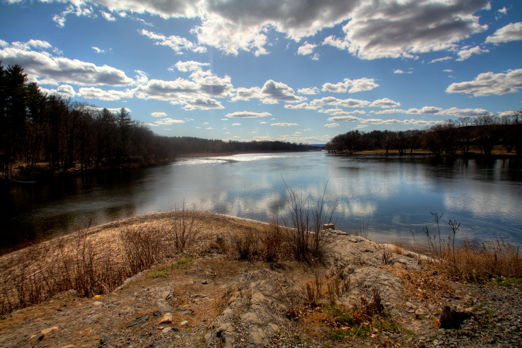
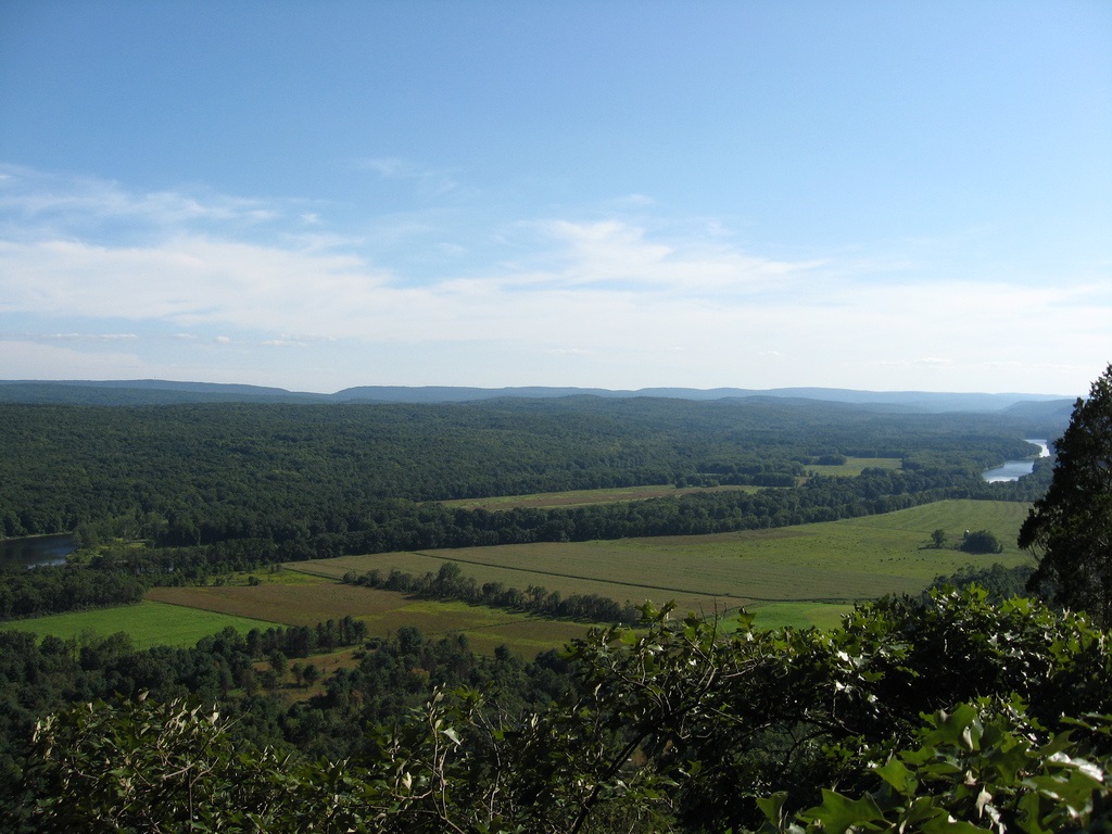
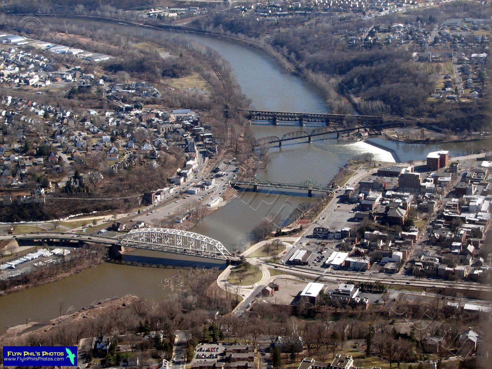
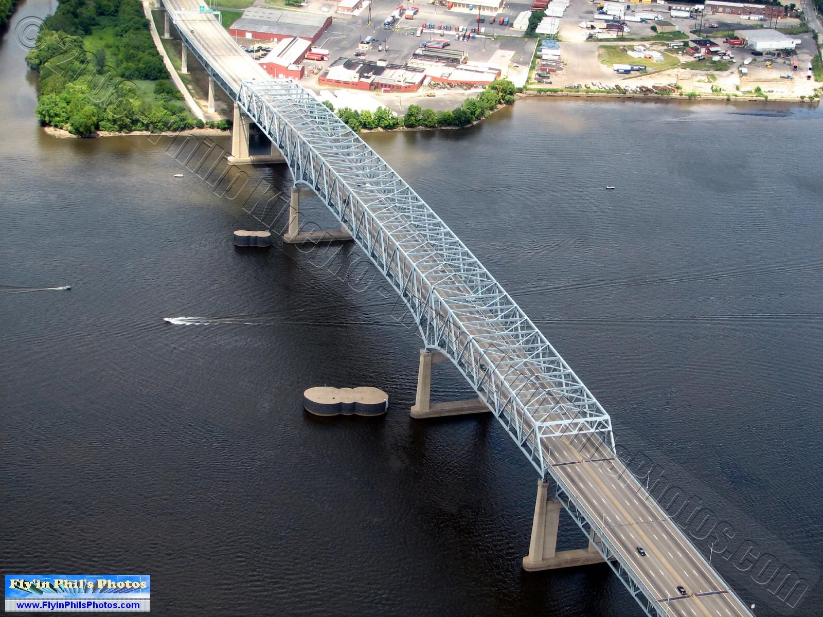
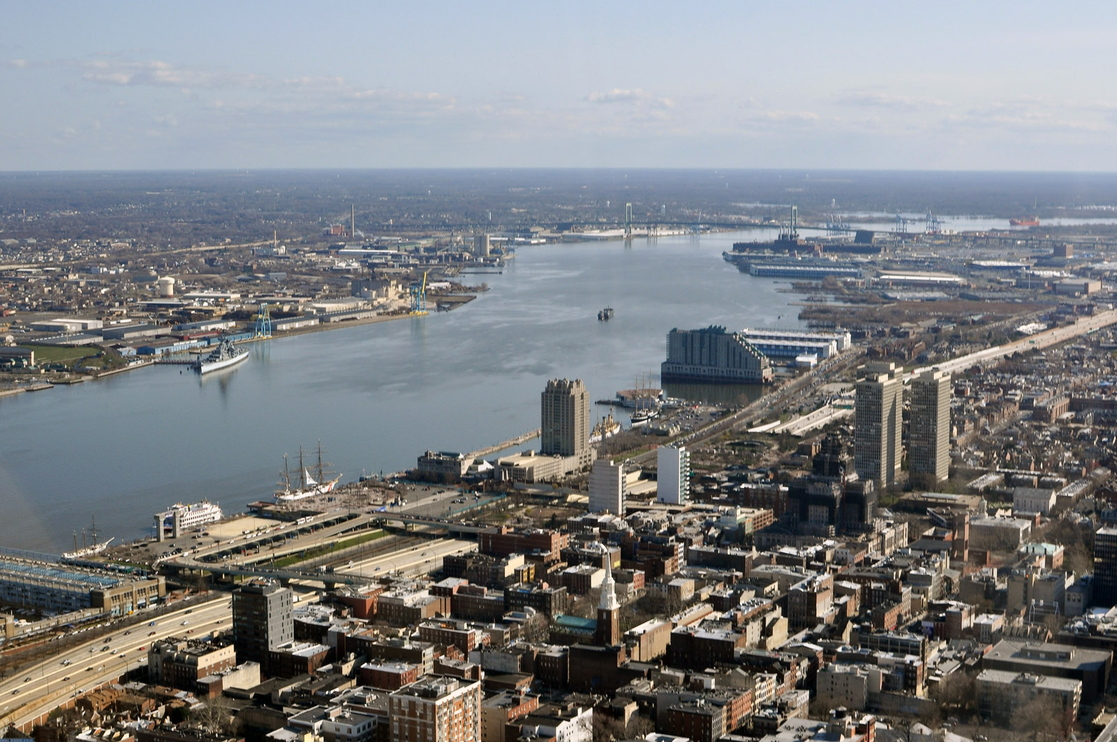
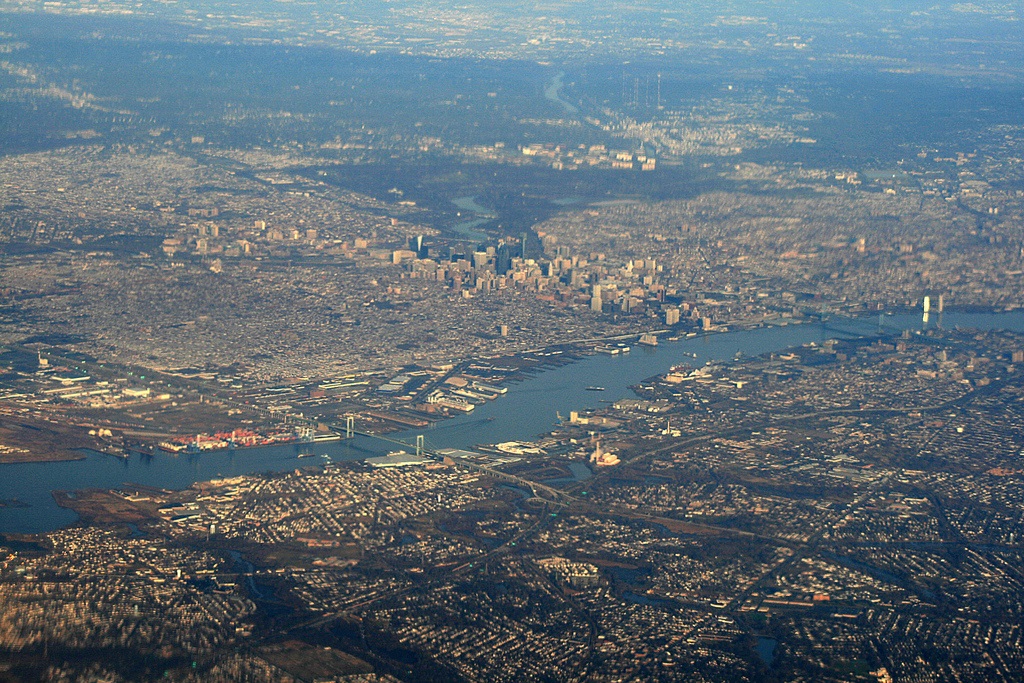
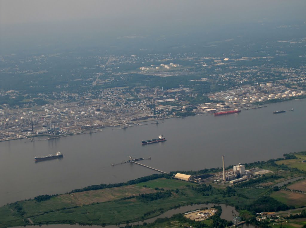
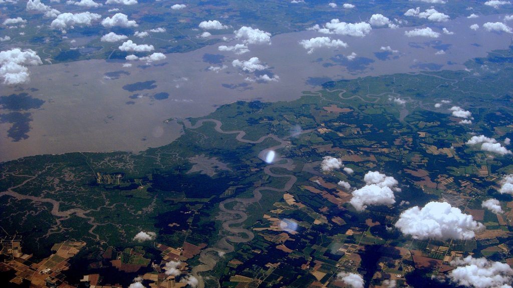
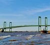
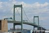
Descripción:El río Delaware es un río de los Estados Unidos que desemboca en la costa atlántica. Tiene una longitud de 579 km y drena un área de 36.568 km² (similar a países como Taiwán o Guinea-Bissau).
Administrativamente, el río discurre, o forma frontera, por los estados de Delaware, Nueva Jersey, Nueva York, y Pensilvania.
http://es.wikipedia.org/wiki/Río_Delaware
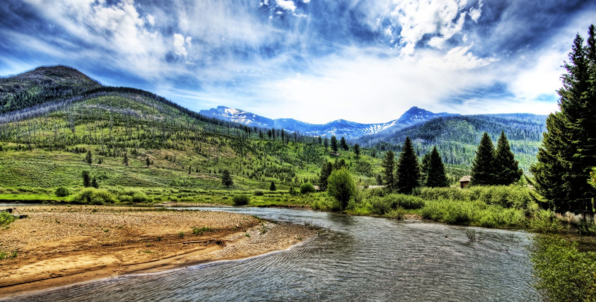
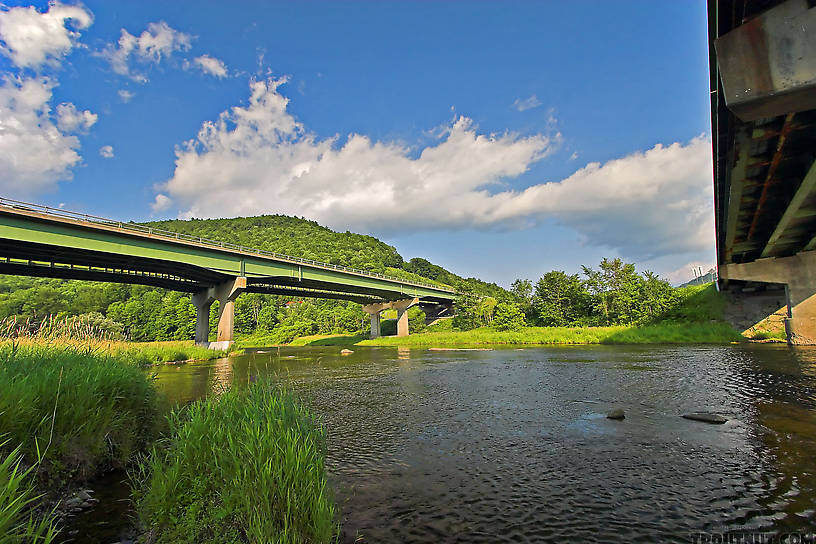
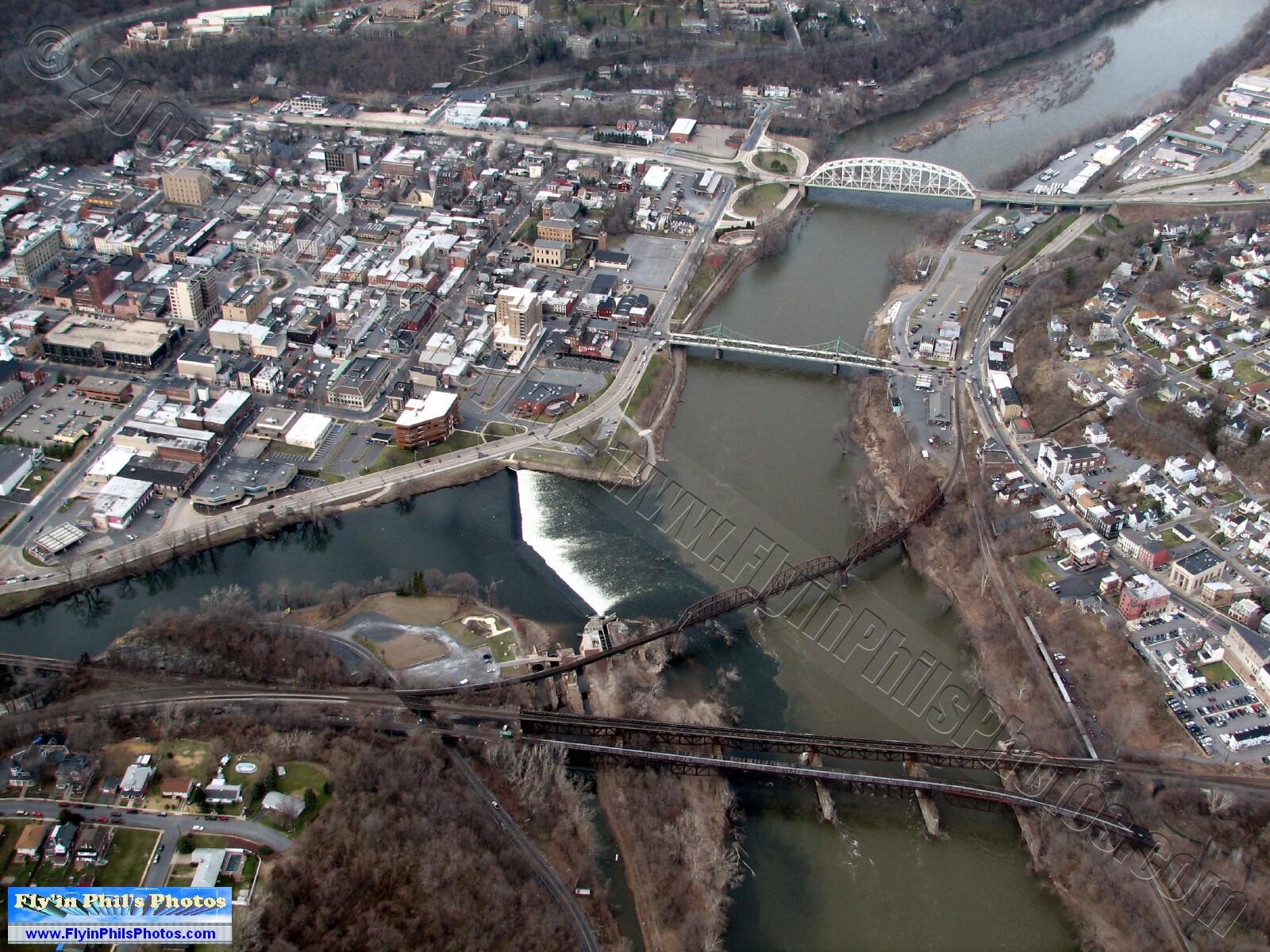
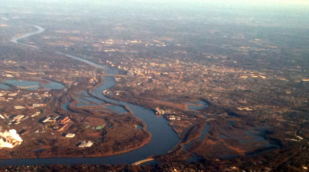
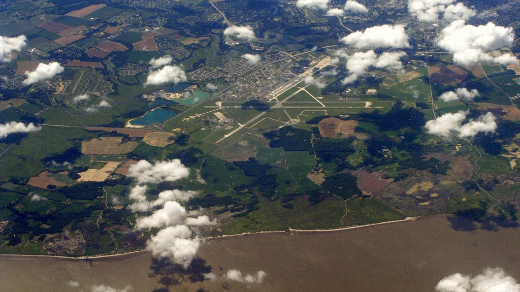
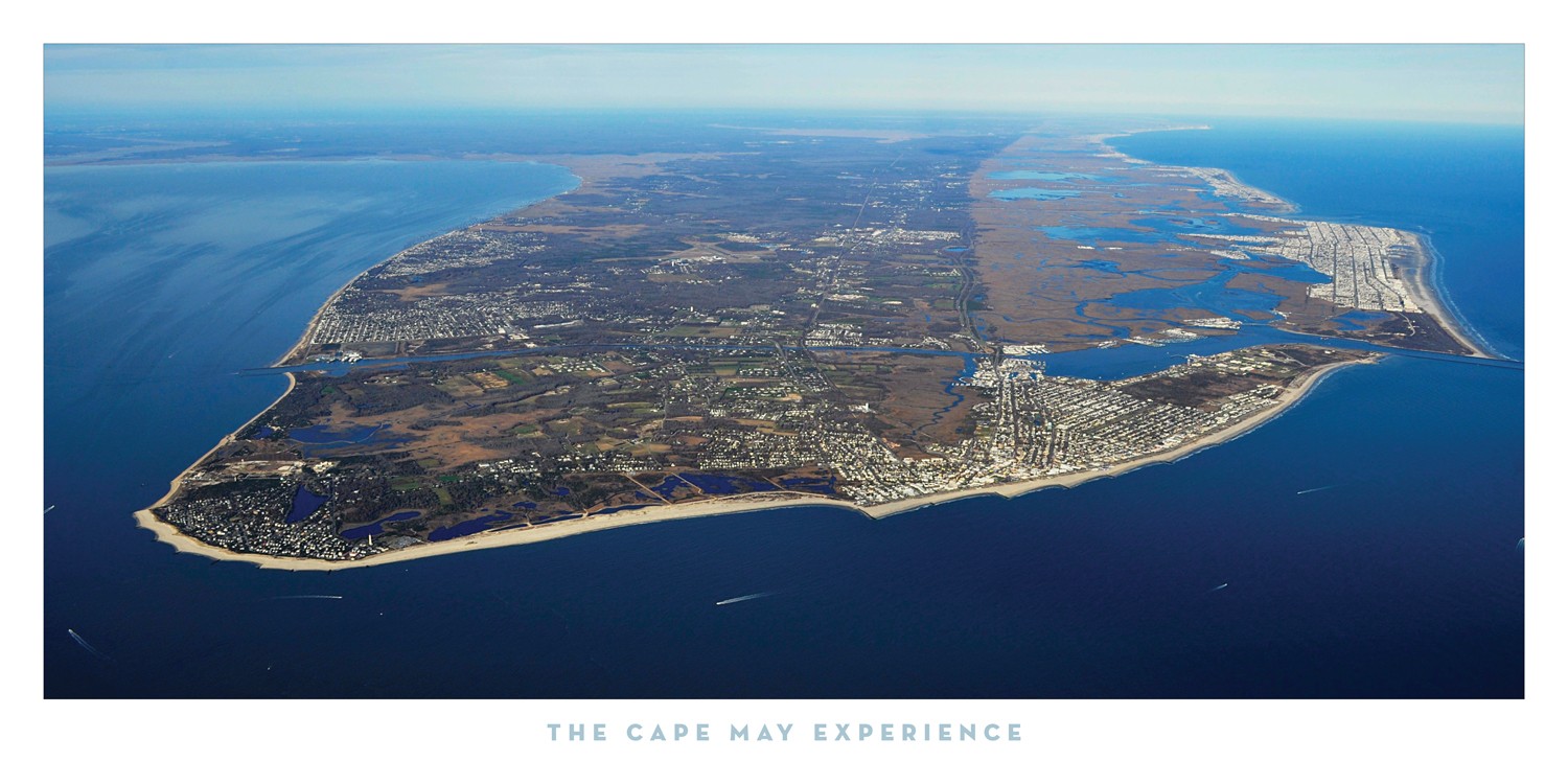
The Delaware River is a major river on the Atlantic coast of the United States. Its watershed drains an area of 14,119 square miles (36,570 km2) in five U.S. states—New York, New Jersey, Pennsylvania, Maryland and Delaware. Rising in two branches in New York state's Catskill Mountains, the river flows 419 miles (674 km) into Delaware Bay where its waters enter the Atlantic Ocean near Cape May in New Jersey and Cape Henlopen in Delaware. Not including Delaware Bay, the river's length including its two branches is 388 miles (624 km).[1][2] The Delaware River is one of nineteen "Great Waters" recognized by the America's Great Waters Coalition.[3]
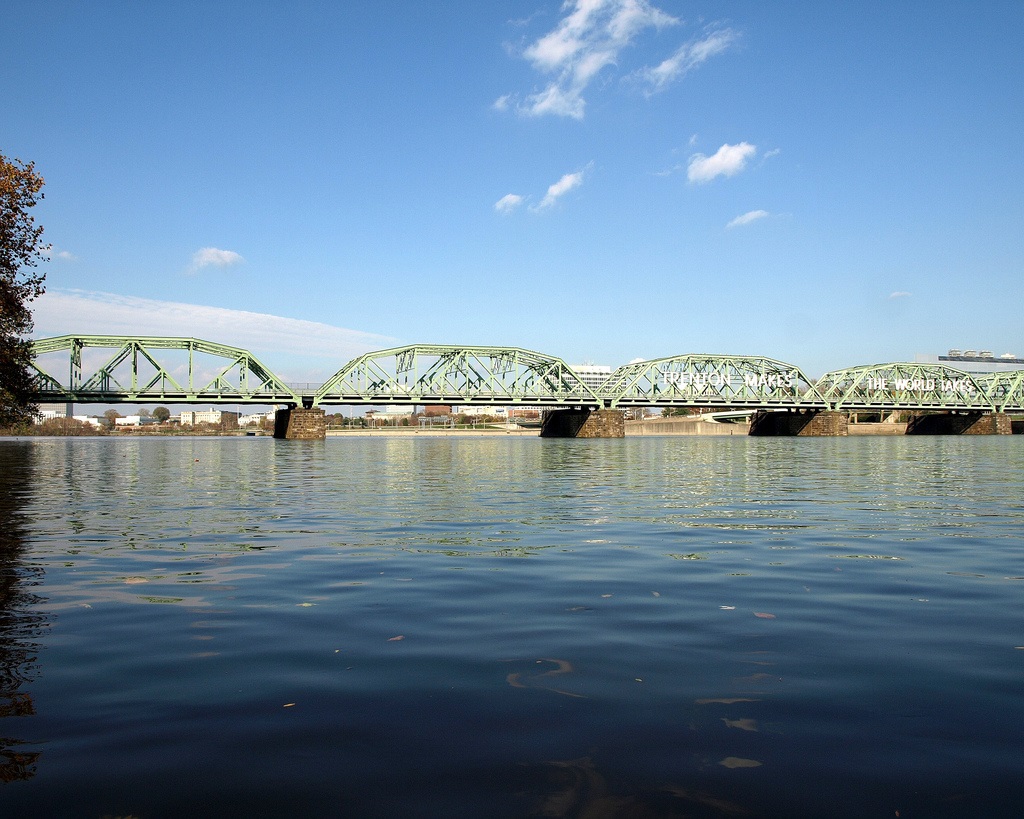
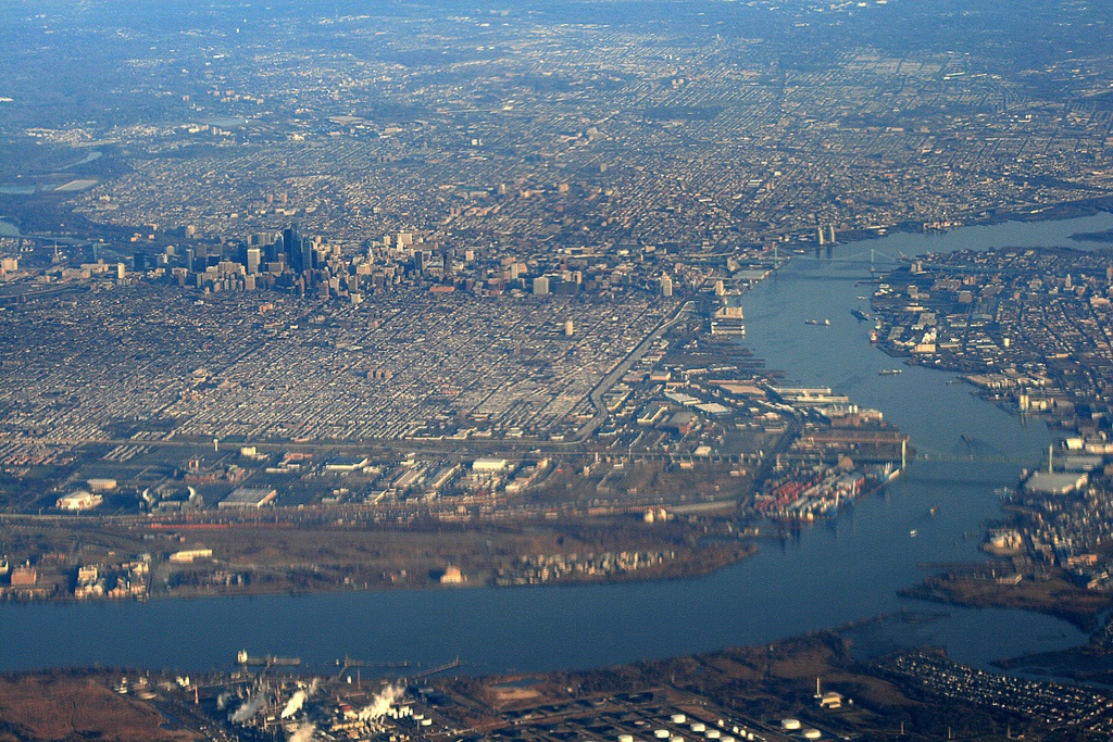
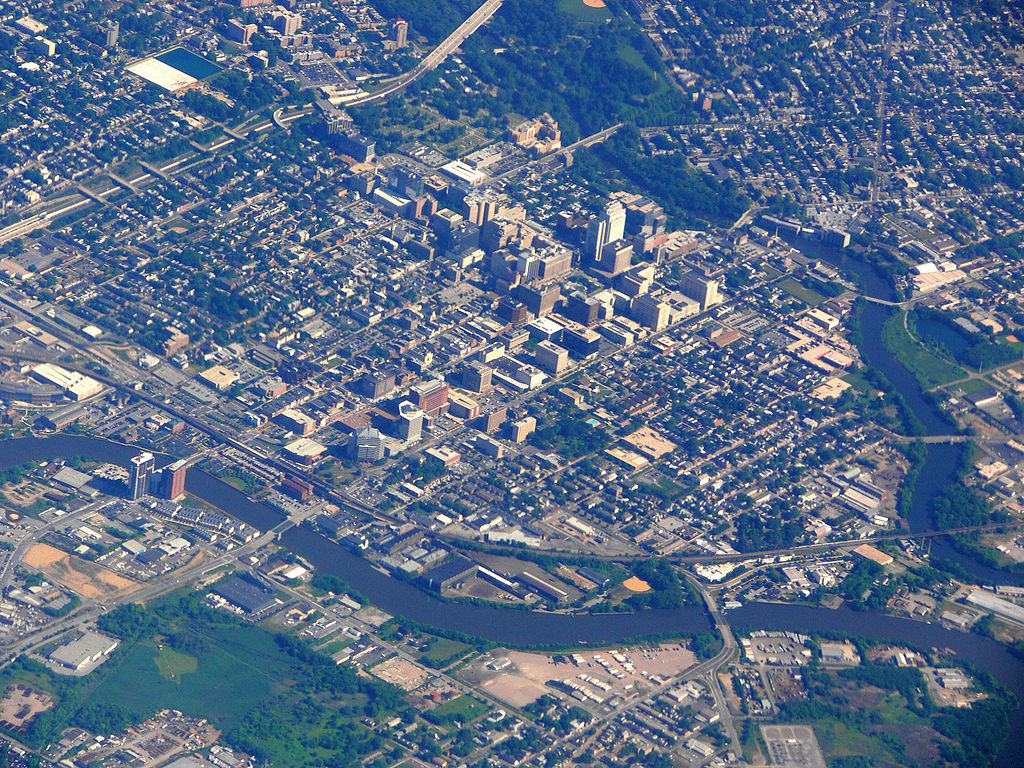
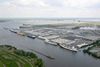
The Delaware River rises in two main branches that descend from the western flank of the Catskill Mountains in New York. The West Branch begins near Mount Jefferson in the Town of Jefferson in Schoharie County. The river's East Branch begins at Grand Gorge near Roxbury Delaware County. These two branches flow west and merge near Hancock in Delaware County and the combined waters flow as the Delaware River south. Through its course, the Delaware River forms the boundaries between Pennsylvania and New York, the entire boundary between New Jersey and Pennsylvania, and most of the boundary between Delaware and New Jersey. The river meets tide-water at the junction of Morrisville, Pennsylvania and Trenton, New Jersey at the Falls of the Delaware. The river's navigable, tidal section served as a conduit for shipping and transportation that aided the development of the industrial cities of Trenton, Camden, and Philadelphia. The mean freshwater discharge of the Delaware River into the estuary of Delaware Bay is 11,550 cubic feet (330 m³) per second.
In 1609, the river was first visited by a Dutch East India Company expedition led by Henry Hudson. Hudson, an English navigator, was hired to find a western route to Cathay (present-day China), but his discoveries set the stage for Dutch colonization of North America in the seventeenth-century. Early Dutch and Swedish settlements were established along the lower section of river and Delaware Bay. Both colonial powers called the river the South River compared to the Hudson River which was known as the North River. After the English expelled the Dutch and took control of the New Netherland colony in 1664, the river was renamed Delaware after Sir Thomas West 3rd Baron De La Warr, an English nobleman and the Virginia colony's first royal governor who defended the colony during the First Anglo-Powhatan War.
Origin of the name
The Delaware River is named in honor of Thomas West, 3rd Baron De La Warr (1577–1618), an English nobleman and the Virginia colony's first royal governor who defended the colony during the First Anglo-Powhatan War.[4] Lord de la Warr waged a punitive campaign to subdue the Powhatan after they had killed the colony’s council president, John Ratcliffe, and attacked the colony’s fledgling settlements.[5][6] Lord de la Warr arrived 150 soldiers in time to prevent colony’s original settlers at Jamestown from giving up and returning to England and is credited with saving the Virginia colony.[4] The name of barony (later an earldom) is pronounced as in the current spelling form "Delaware" (Listeni/ˈdɛləwɛər/ DEL-ə-wair)[7] and is thought to derive from French de la Guerre.
It has often been reported that the river and bay received the name "Delaware" after English forces under Richard Nicolls expelled the Dutch and took control of the New Netherland colony in 1664.[8][9] However, the river and bay were known by the name Delaware as early as 1641.[10] The state of Delaware was originally part of the William Penn's Pennsylvania colony. In 1682, the Duke of York granted Penn's request for access to the sea and leased him the territory along the western shore of Delaware Bay which became known as the "Lower Counties on the Delaware."[11] In 1704, these three lower counties were given political autonomy to form a separate provincial assembly, but shared its provincial governor with Pennsylvania until the two colonies separated on 15 June 1776 and remained separate as states after the establishment of the United States. The name also became used as a collective name for the Lenape, a Native American people (and their language) who inhabited an area of the basins of the Susquehanna River, Delaware River, and lower Hudson River in the northeastern United States at the time of European settlement.[12] As a result of disruption following the French & Indian War, American Revolutionary War and later Indian removals from the eastern United States, the name "Delaware" has been spread with the Lenape's diaspora to municipalities, counties and other geographical features in the American Midwest and Canada.[13]

Course
West Branch of the Delaware
The West Branch of the Delaware River (also called the Mohawk Branch) is spans approximately 90 miles (140 km) from the northern Catskill Mountains to where it joins in confluence with the Delaware River's East Branch at Hancock, New York. The last 6 miles (9.7 km) forms part of the boundary between New York and Pennsylvania.
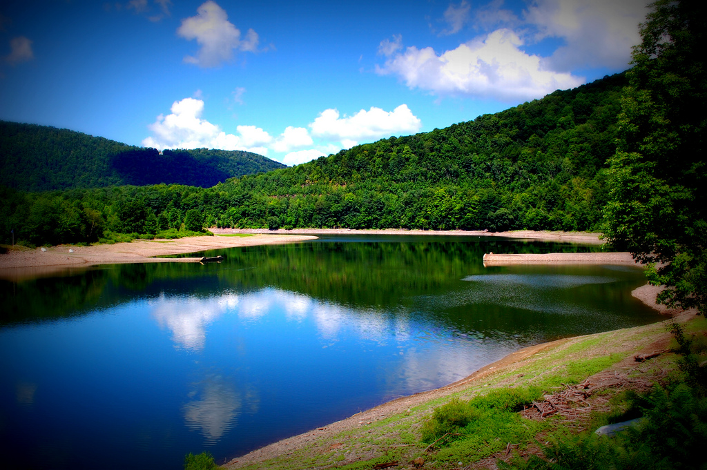
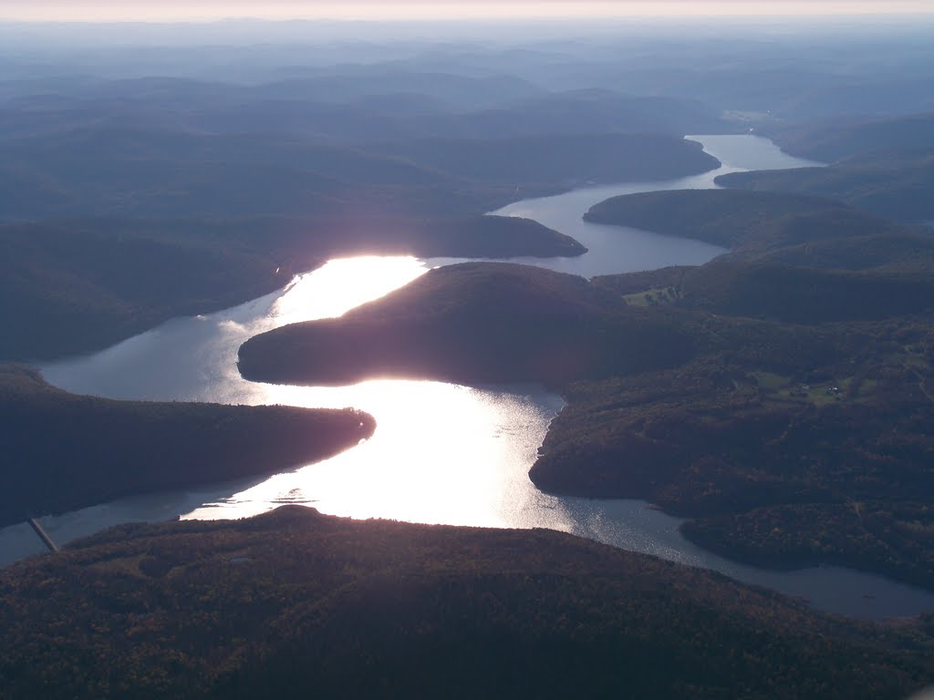
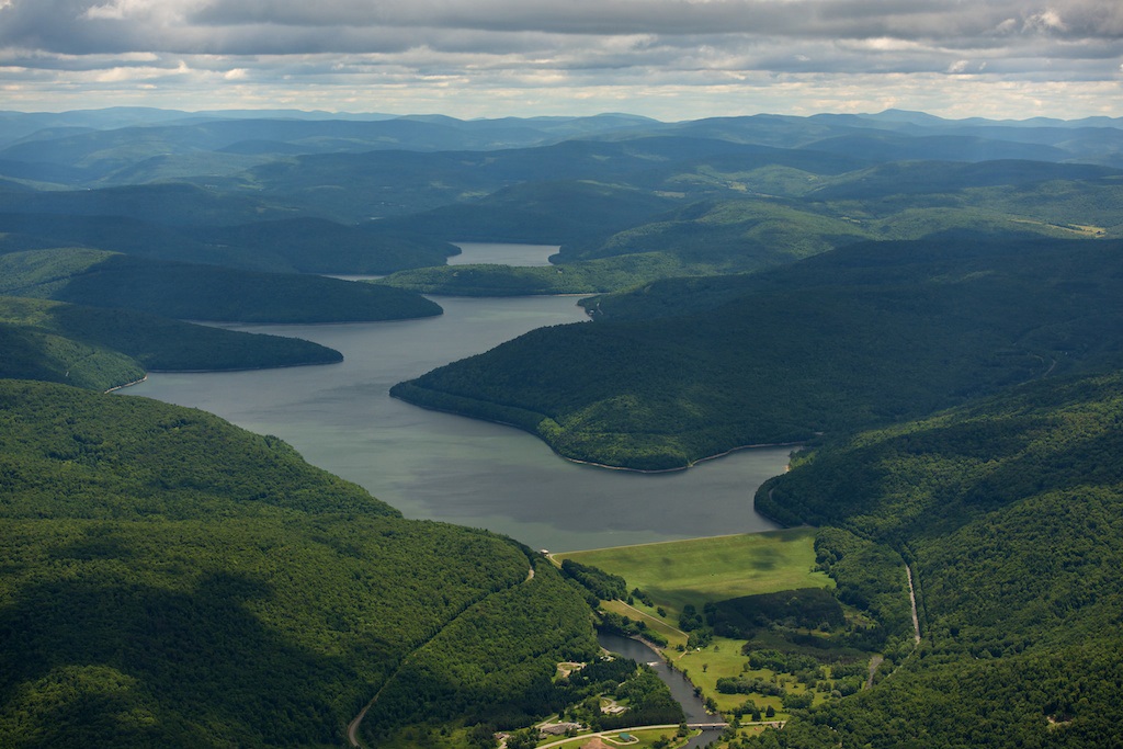
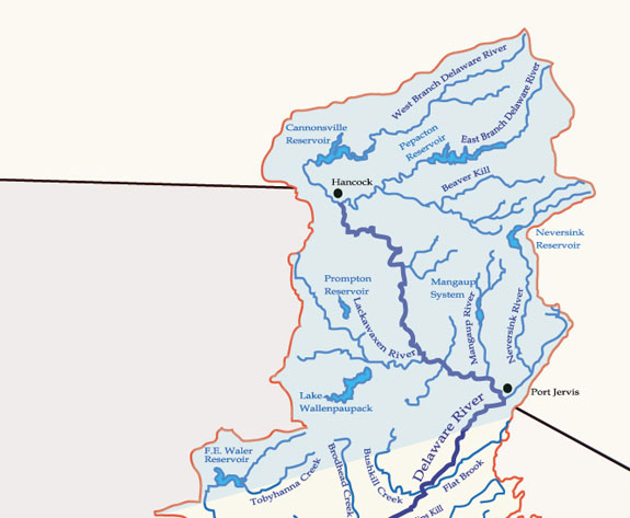
The West Branch rises in Schoharie County, New York at 1,886 feet (575 m) above sea level, near Mount Jefferson, and flows tortuously through the plateau in a deep trough. The branch flows generally southwest, entering Delaware County and flowing through the towns of Stamford and Delhi. In southwestern Delaware County it flows in an increasingly winding course through the mountains, generally southwest. At Stilesville the West Branch was impounded in the 1960s to form the Cannonsville Reservoir, the westernmost of the reservoirs in the New York City water system. It is the most recently constructed New York City reservoir and began serving the city in 1964. Draining a large watershed of 455 square miles (1,180 km2), the reservoir's capacity is 95.7 billion US gallons (362,000,000 m3). This water flows over halfway through the reservoir to enter the 44-mile (71 km) West Delaware Tunnel in Tompkins, New York. Then it flows through the aqueduct into the Rondout Reservoir, where the water enters the 85 miles (137 km) Delaware Aqueduct, that contributes to roughly 50% of the city's drinking water supply. At Deposit, on the border between Broome and Delaware counties, it turns sharply to the southeast and is paralleled by New York State Route 17. It joins the East Branch at 880 feet (270 m) above sea level at Hancock to form the Delaware.
East Branch of the Delaware
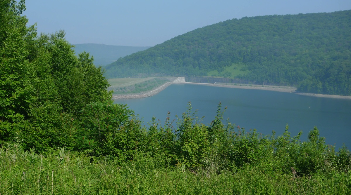
Similarly, the East Branch begins from a small pond south of Grand Gorge in the town of Roxbury in Delaware County, flowing southwest toward its impoundment by New York City to create the Pepacton Reservoir, the largest reservoir in the New York City water supply system. Its tributaries are the Beaver Kill River and the Willowemoc Creek which enter into the river ten miles (16 km) before the West Branch meets the East Branch. The confluence of the two branches is just south of Hancock.
Both the East Branch and West Branch of the Delaware River parallel each other, both flowing in a southwesterly direction.
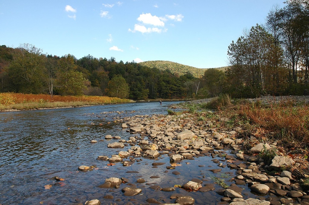
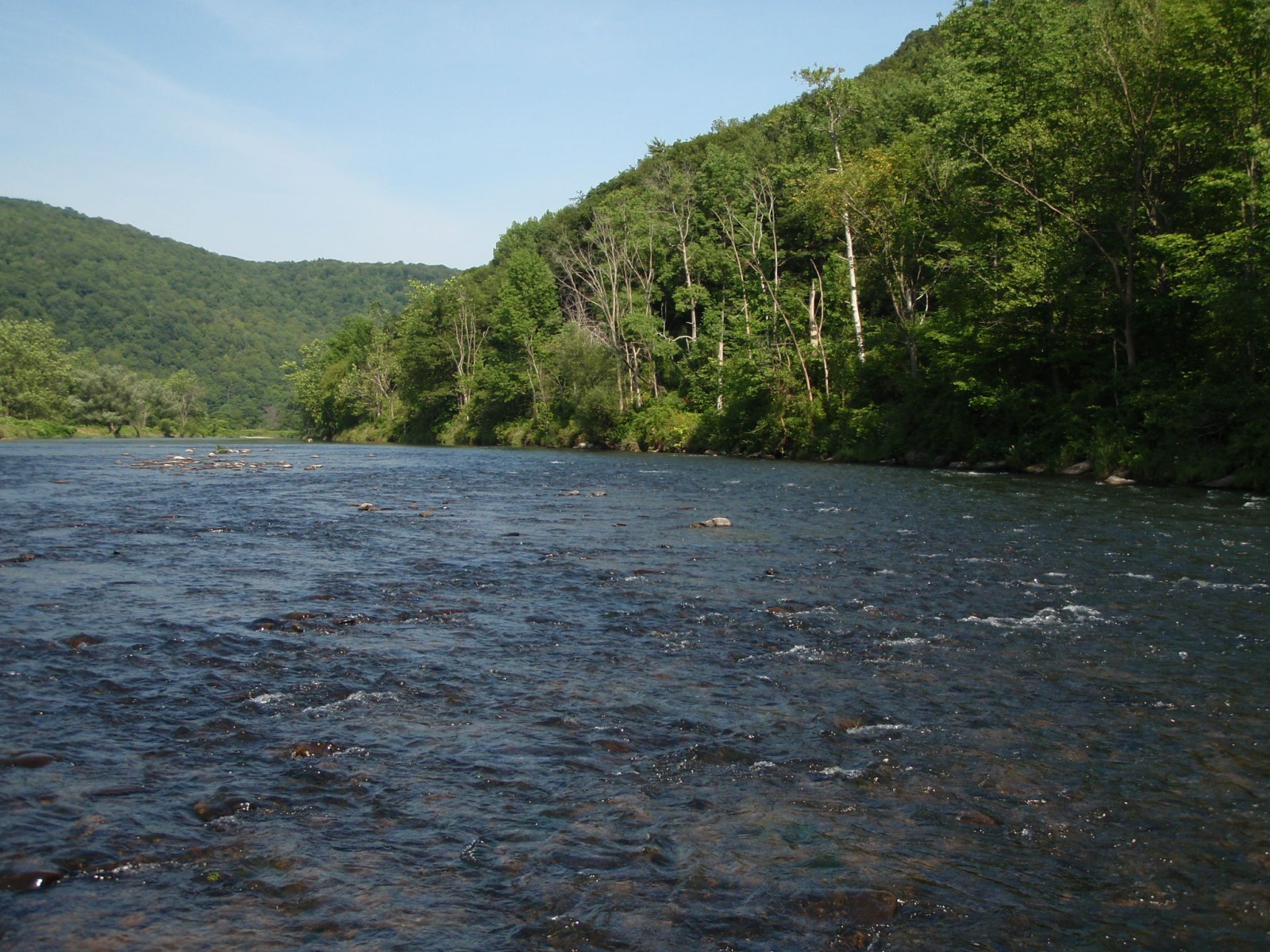
Upper Delaware Valley
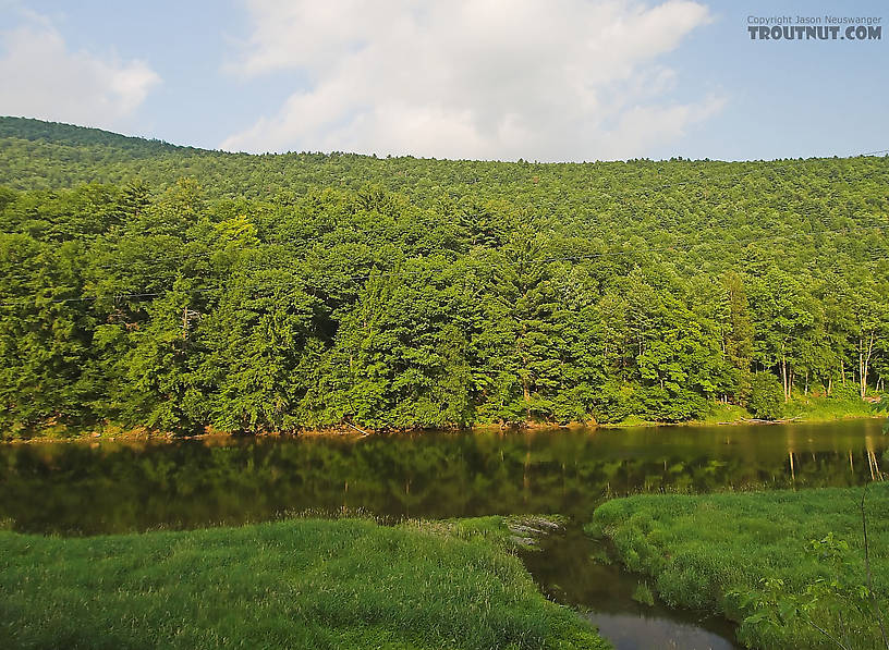
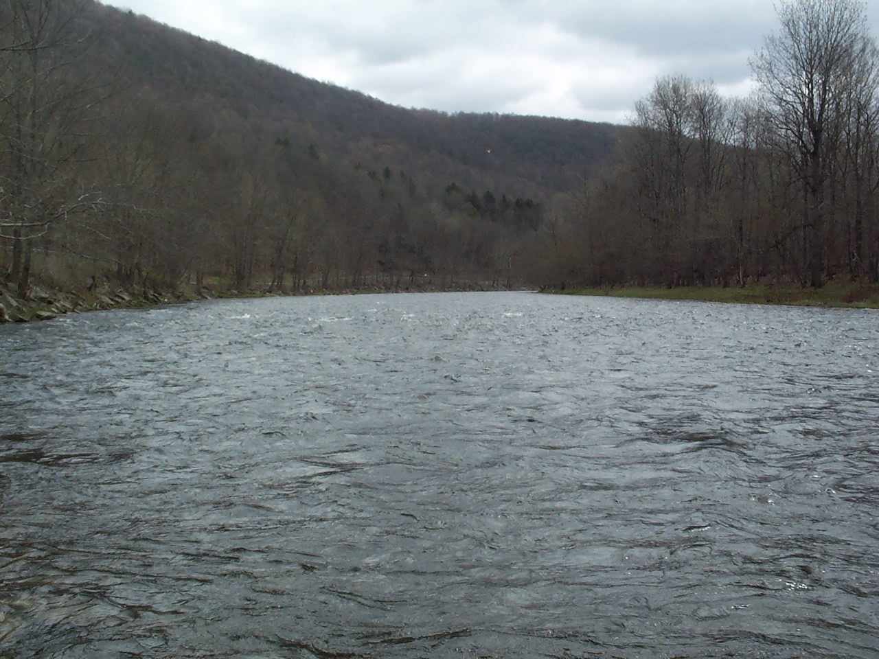
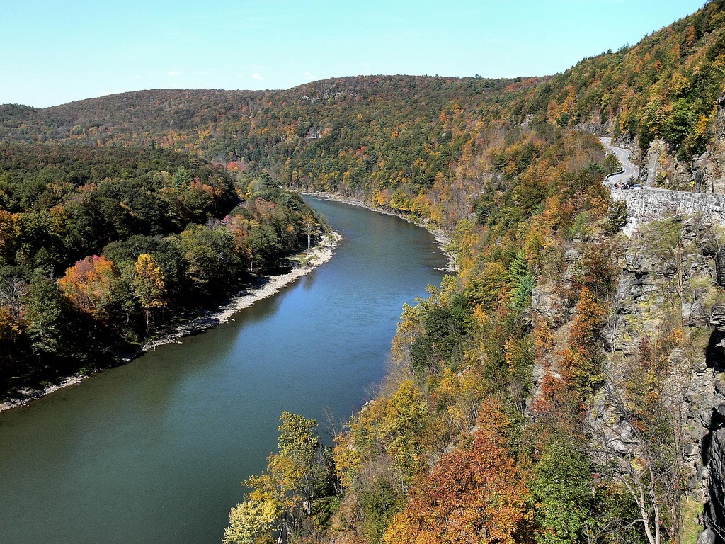
From Hancock, New York, the river flows between the northern Pocono Mountains in Pennsylvania, and the lowered shale beds north of the Catskills. The river flows down a broad Appalachian valley, passing Hawk's Nest overlook on the Upper Delaware Scenic Byway. The river flows southeast for 78 miles through rural regions along the New York-Pennsylvania border to Port Jervis and Shawangunk Mountain.:p.9
Mongaup River
Neversink River
The Minisink
See also: Minisink
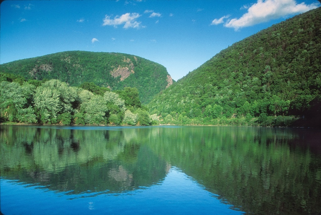
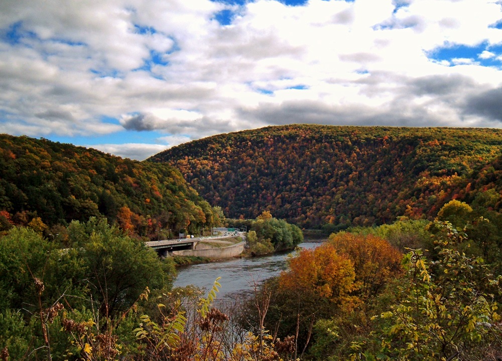
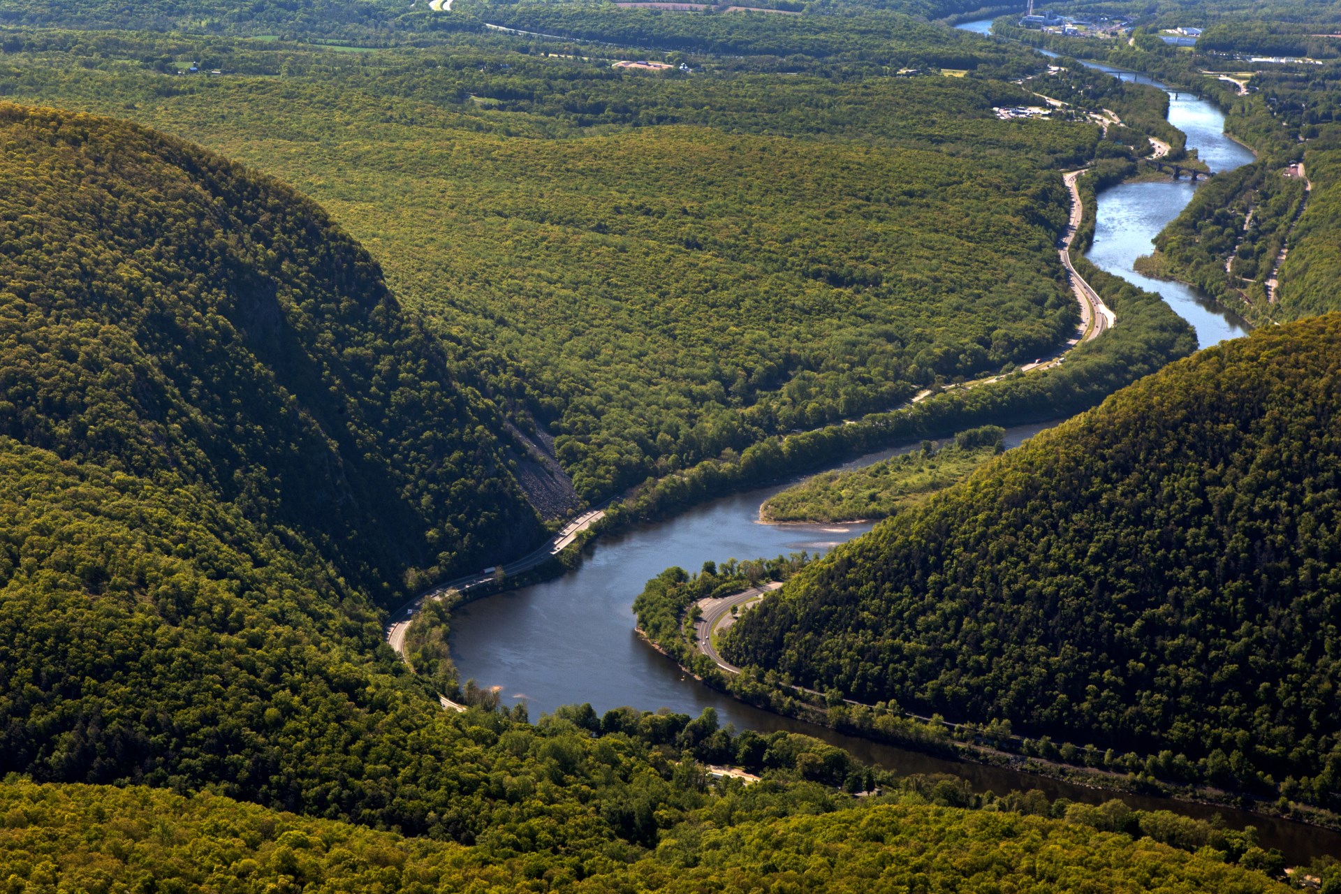
At Port Jervis, New York, it enters the Port Jervis trough. At this point, the Walpack Ridge deflects the Delaware into the Minisink Valley, where it follows the southwest strike of the eroded Marcellus Formation beds along the Pennsylvania–New Jersey state line for 25 miles (40 km) to the end of the ridge at Walpack Bend in the Delaware Water Gap National Recreation Area.[15][16] The Minisink is a buried valley where the Delaware flows in a bed of glacial till that buried the eroded bedrock during the last glacial period. It then skirts the Kittatinny ridge, which it crosses at the Delaware Water Gap, between nearly vertical walls of sandstone, quartzite, and conglomerate, and then passes through a quiet and charming country of farm and forest, diversified with plateaus and escarpments, until it crosses the Appalachian plain and enters the hills again at Easton, Pennsylvania. From this point it is flanked at intervals by fine hills, and in places by cliffs, of which the finest are the Nockamixon Rocks, 3 miles (5 km) long and above 200 feet (61 m) high.
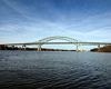
The Appalachian Trail, which traverses the ridge of Kittatinny Mountain in New Jersey, and Blue Mountain in Pennsylvania, crosses the Delaware River at the Delaware Water Gap near Columbia, New Jersey.
Central Delaware Valley
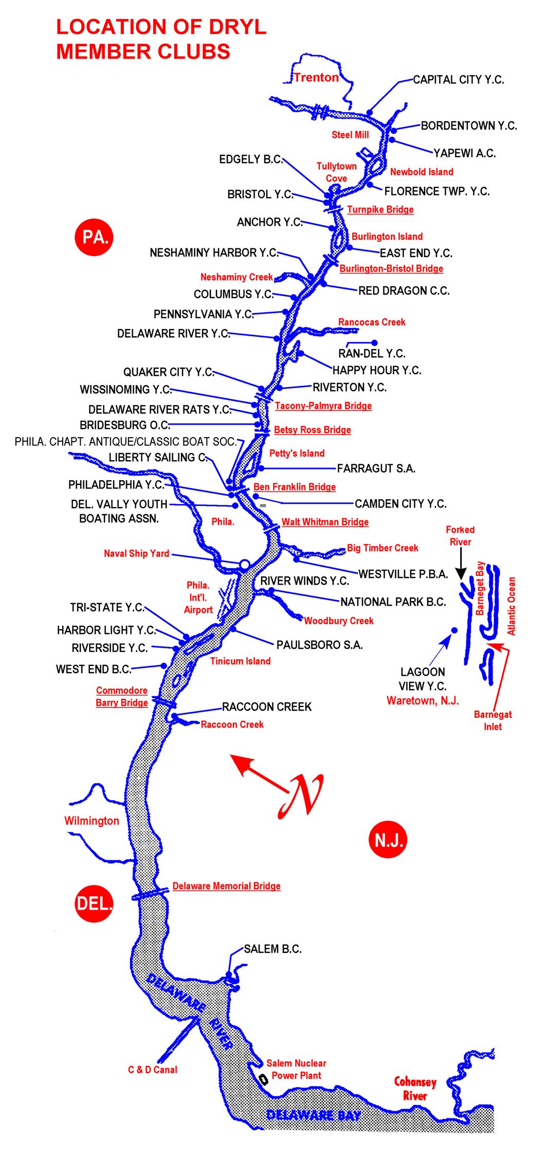
At Easton, Pennsylvania, the Lehigh River enters the Delaware. At Trenton there is a fall of 8 feet (2.4 m).
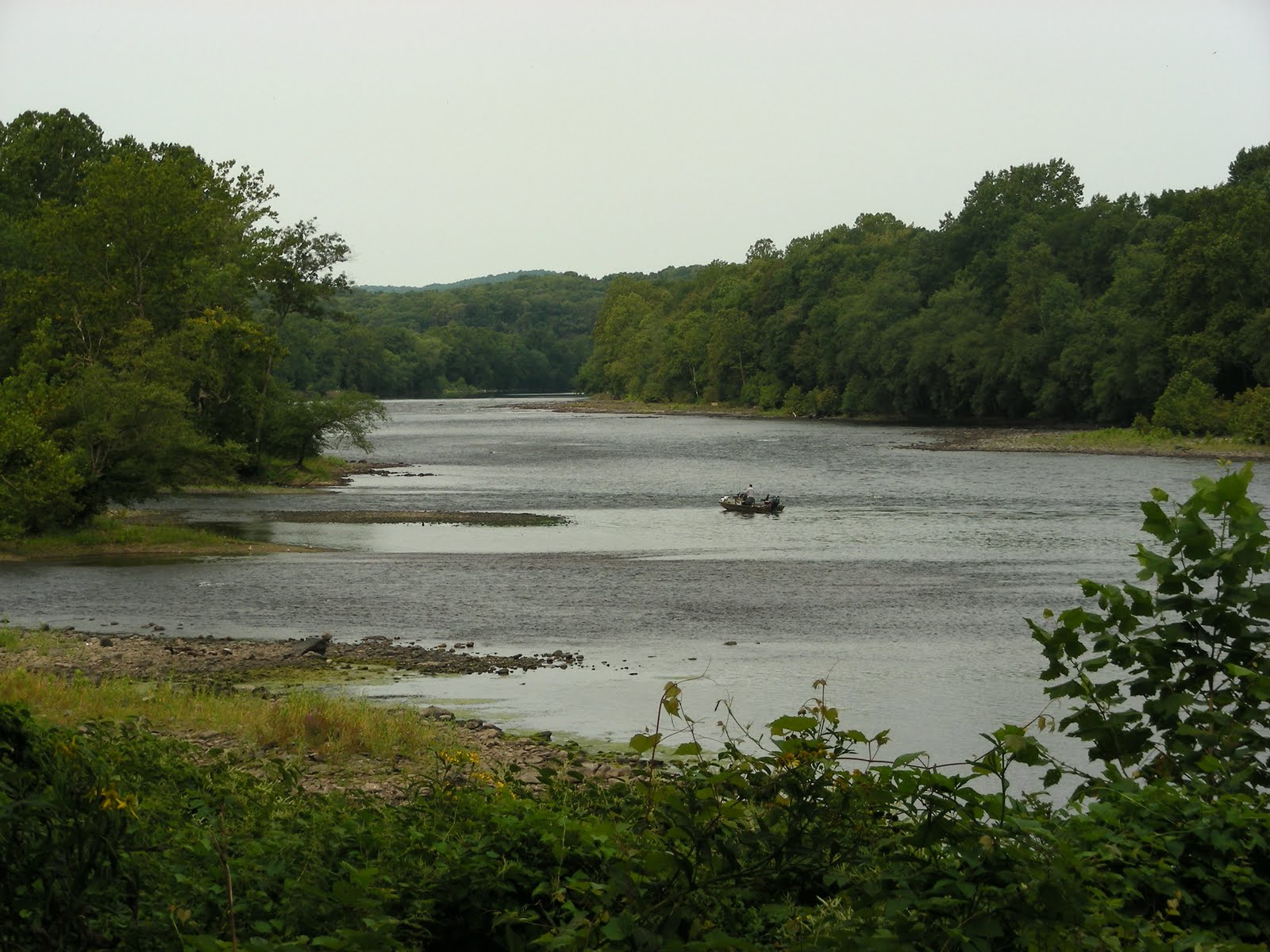
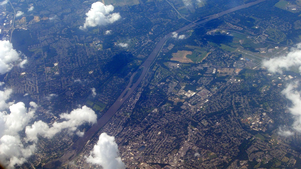
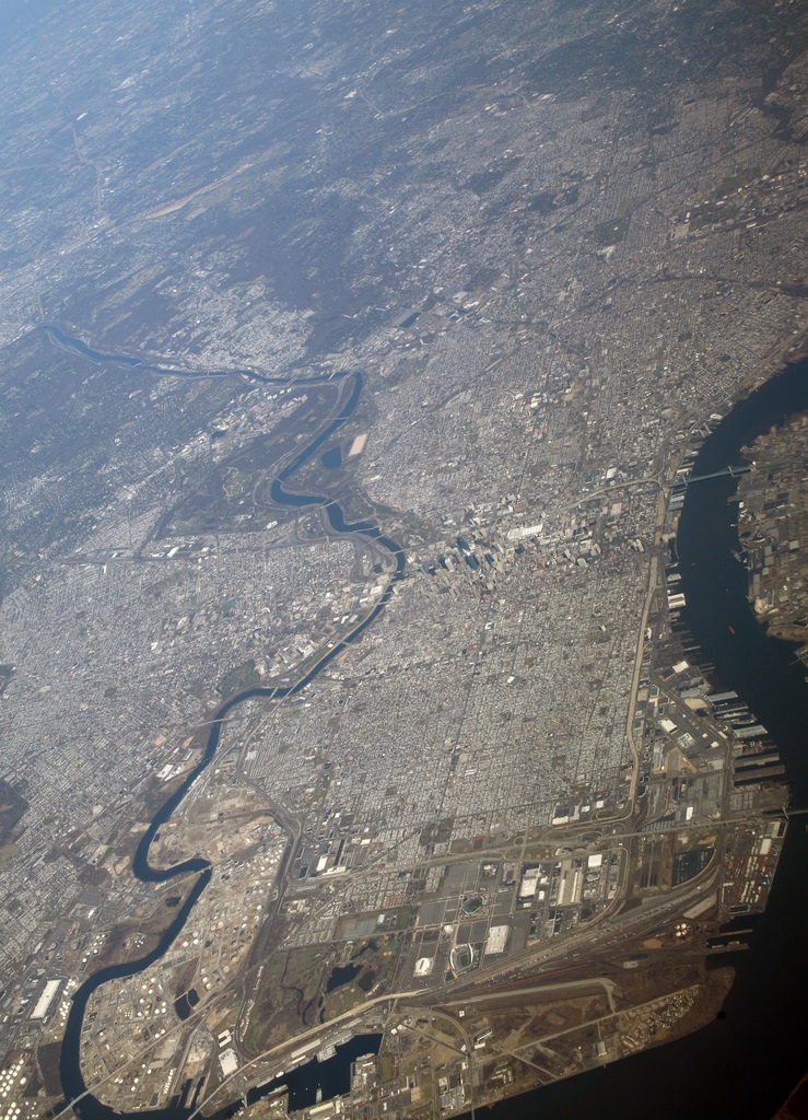
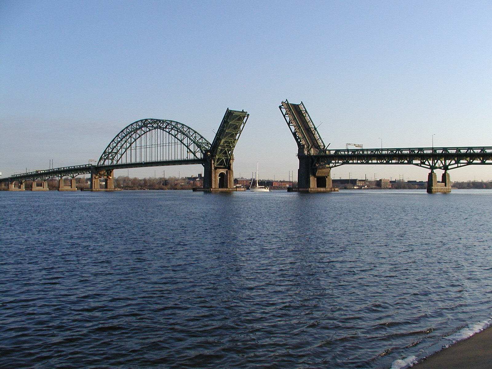
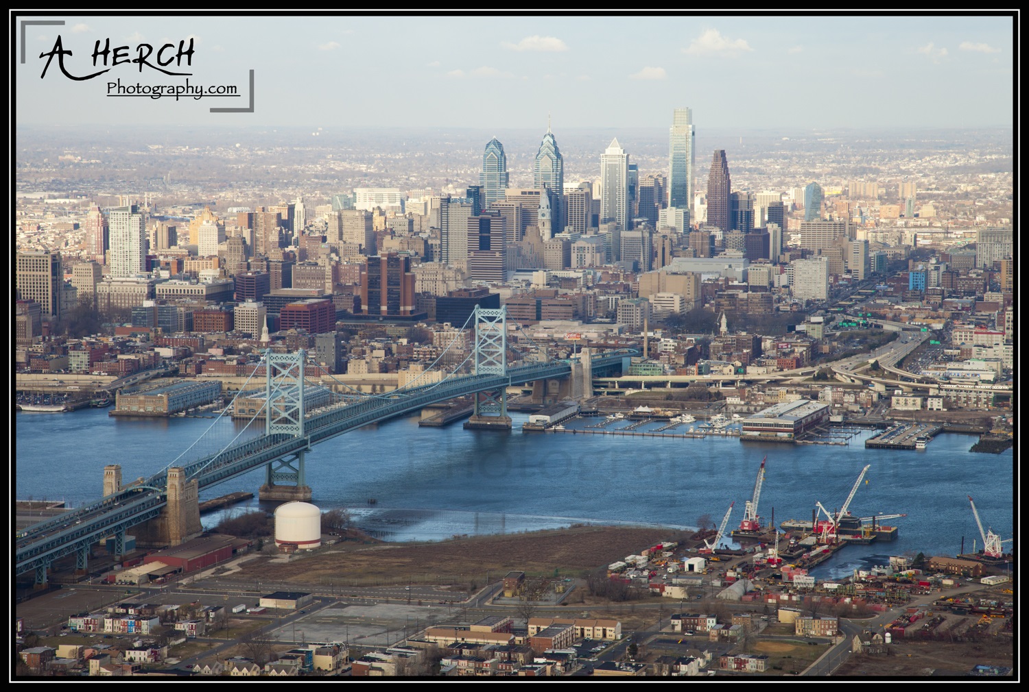
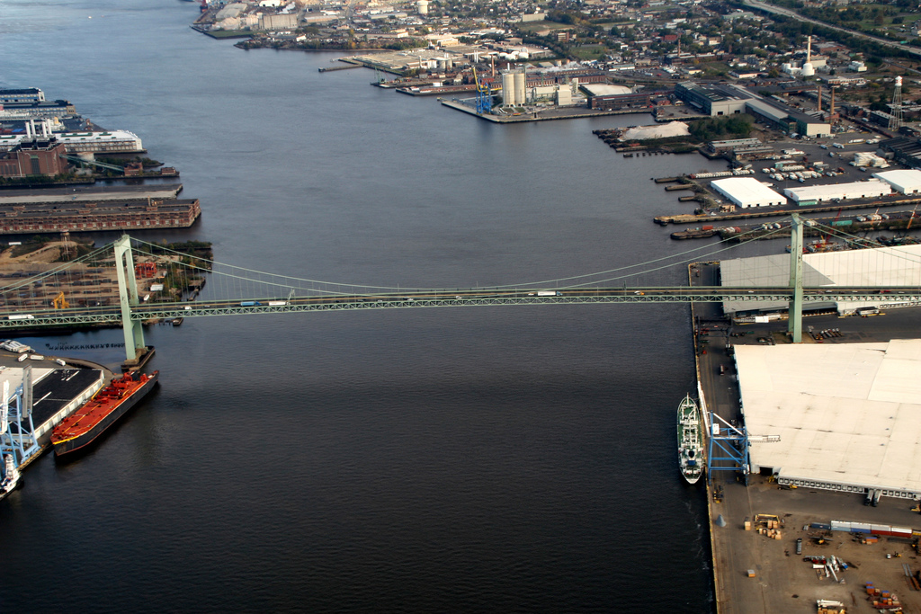
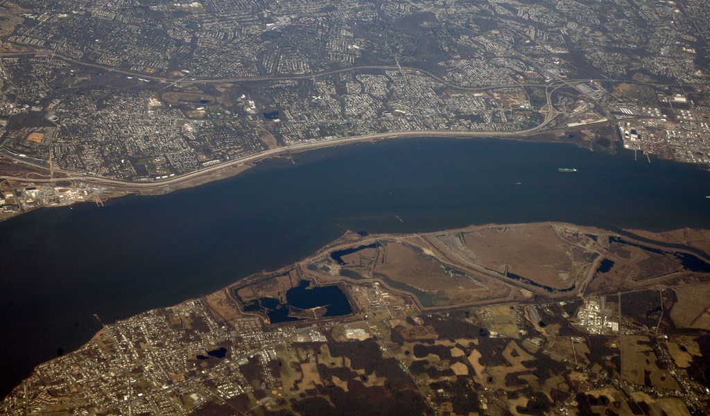
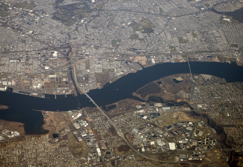
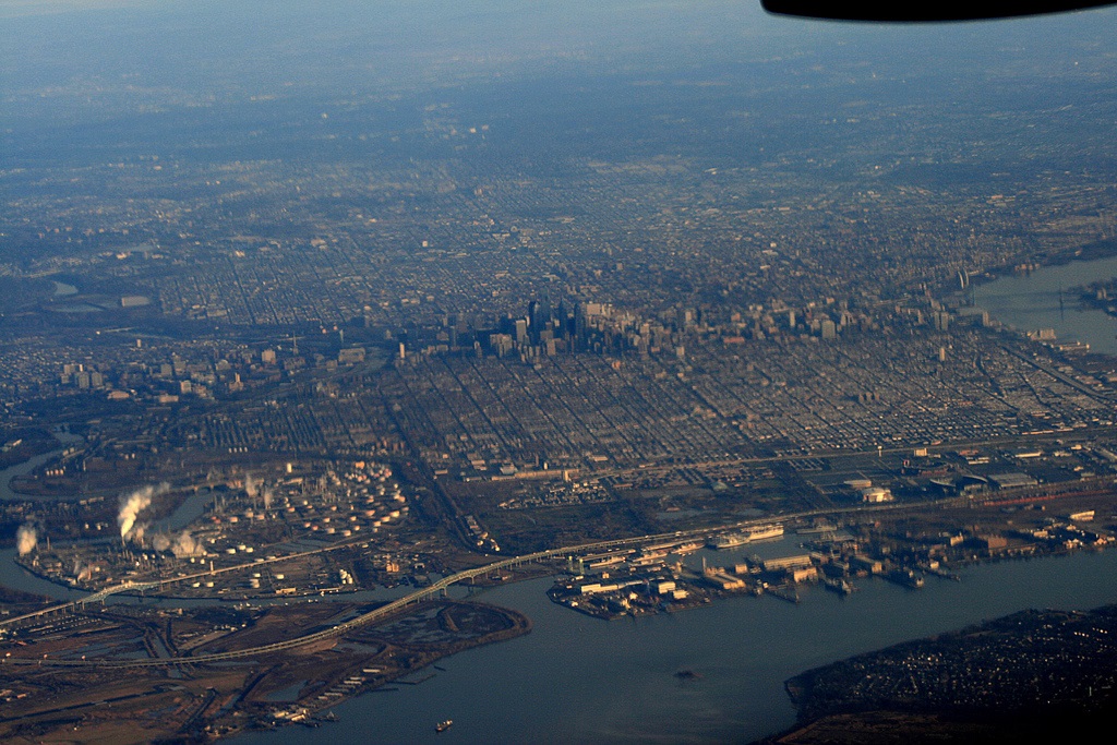
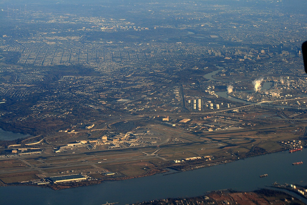
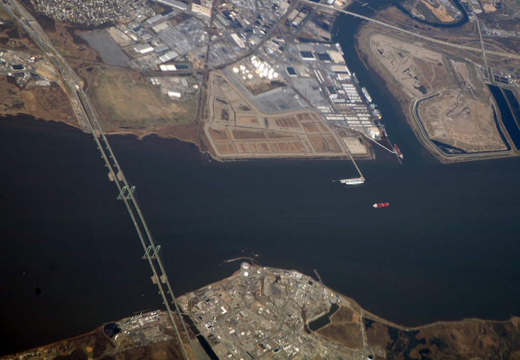
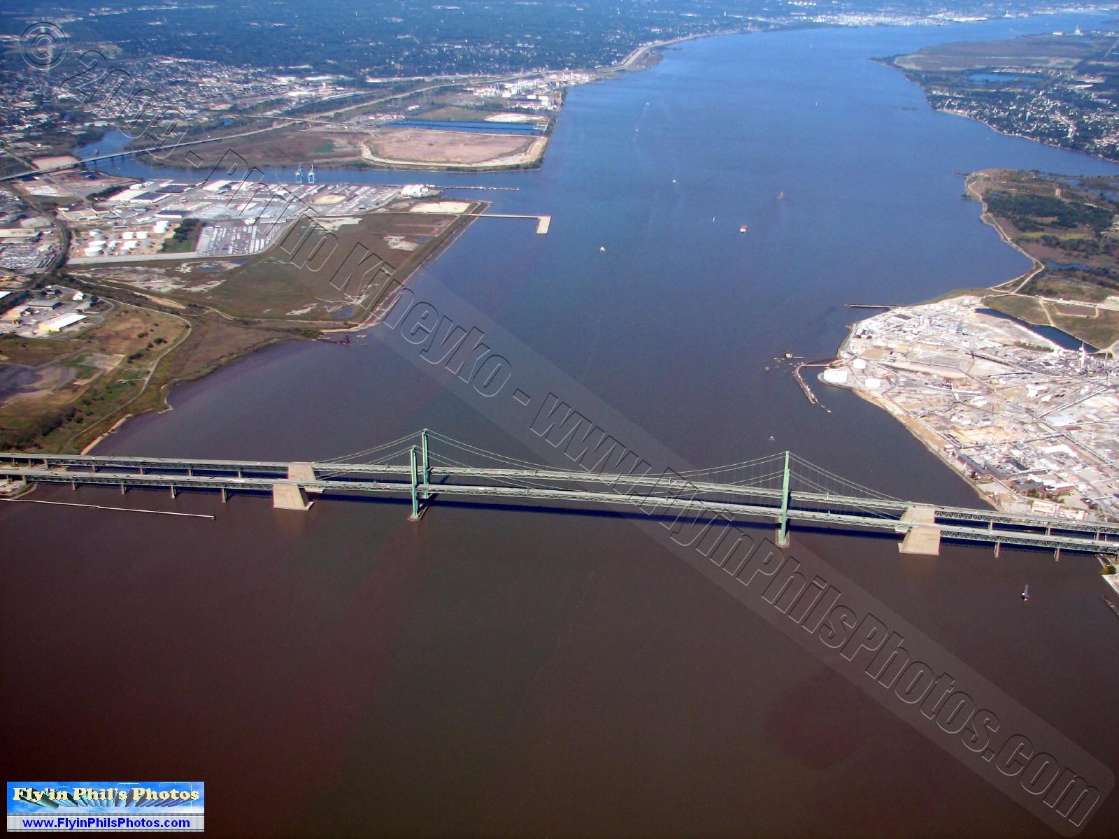
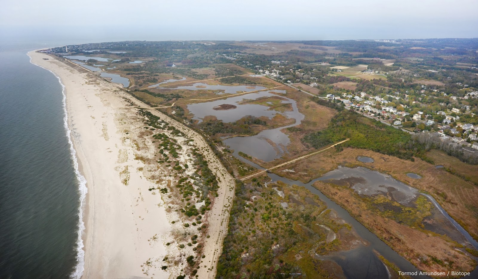
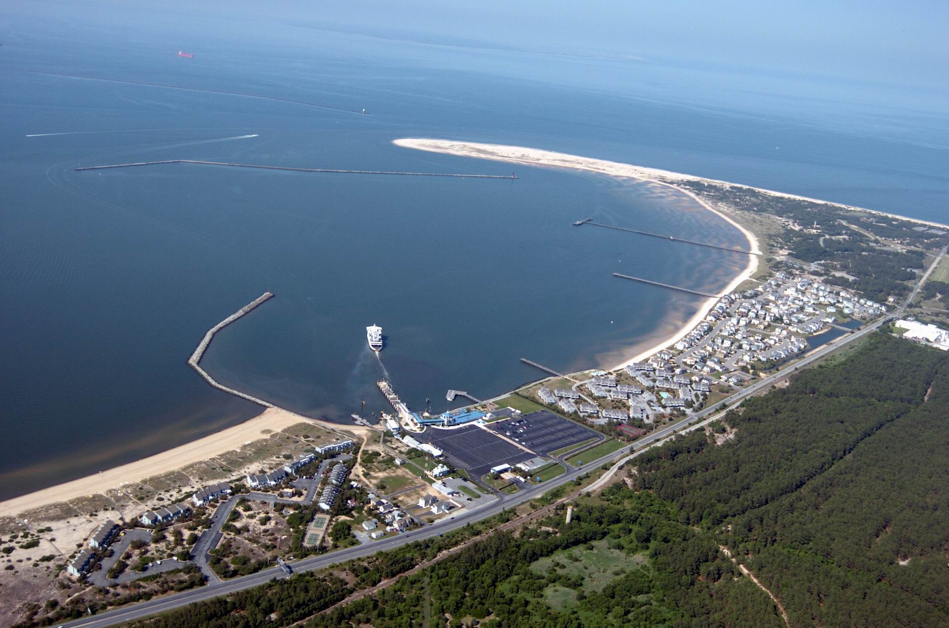
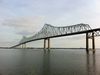
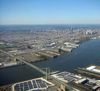
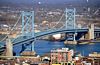
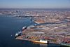
Below Trenton the river flows between Philadelphia and New Jersey before becoming a broad, sluggish inlet of the sea, with many marshes along its side, widening steadily into its great estuary, Delaware Bay.
The Delaware River constitutes part of the boundary The Delaware-New Jersey border is actually at the easternmost river shoreline within the Twelve-Mile Circle of New Castle, rather than mid-river or mid-channel borders, causing small portions of land lying west of the shoreline, but on the New Jersey side of the river, to fall under the jurisdiction of Delaware. The rest of the borders follow a mid-channel approach.
http://en.wikipedia.org/wiki/Delaware_River
Momentos claves de la historia: el cruce del rio Delaware.
Este cuadro (famoso en Estados Unidos especialmente) cuenta una historia que tuvo lugar durante el invierno de 1776, en New Jersey (EUA). Los que tienen o han tenido la oportunidad de ver esta gigantesca pintura personalmente se sorprenden de sus dimensiones y de la fuerza que desprende. El cuadro se llama "Washington cruzando el Delaware" y fue pintado por Emanuel Leutze en 1851, 75 años después de los hechos que narra la pintura. Gustó tanto en EUA que hoy en día la pintura se vende impresa en vasos, platos, vajilla y en multitud de otros objetos comerciales.
El Cruce del río Delaware por George Washington en 1776 se estudia en colegios y forma parte de la historia de Estados Unidos por lo que significó y por lo que significa. La gente que acude a ver el cuadro o ve la escena representada en algún objeto lo reconoce rápidamente pero algunos juntan las cejas y arrugan la frente pensativos: "¿ocurrió realmente así, como se ve en el cuadro?".
Los cuadros, si se miran con detenimiento, revelan mucha información y a veces sólo hace falta saber ver los detalles y conocer el trasfondo histórico que rodea los hechos representados para sacarle el jugo. Una mirada rápida y superficial al cuadro nos revela que en la barca hay 12 soldados y que es una de muchas cruzando un río congelado. Son americanos y la bandera estrellada nos facilita ese dato. Esa es la información que obtenemos echando un vistazo, poco más. Pero una mirada más atenta y estudiada nos revela muchos más datos, algunos muy curiosos. Por ejemplo, no hay 12 soldados en la barca, sino 13. El decimotercer pasajero está escondido y sólo se ve el arma que porta saliendo de entre el resto de soldados que hay a la derecha. Es un pasajero “desconocido” y representa a todos aquellos hombres que pasan desapercibidos en cualquier lucha defendiendo unos ideales de forma anónima. Los 12 hombres que sí podemos ver visten ropajes muy diversos, son de diferentes regiones del país y uno de ellos es negro (a la izquierda). Los 13 soldados están juntos en esa barca, cruzando un río que arrastra grandes bloques de hielo. Trece hombres, uno por cada una de las 13 colonias americanas.
Arriba, a la izquierda, en el cielo, una estrella solitaria y luminosa marca el camino de la esperanza, como una señal. El lado izquierdo del cuadro es luminoso, hay esperanza, es el futuro que ha de venir. El lado derecho es más oscuro y es un reflejo del período gris y negro de los meses anteriores al cruce del río, el pasado que queda atrás. De los 12 tripulantes que vemos sólo uno transmite quietud, altivez, imperturbable: George Washington.
El cuadro fue pintado en un momento de gran agitación social en Europa y el pintor intentaba provocar con él una activación del espíritu revolucionario entre las clases medias. La pintura es inexacta históricamente en algunos aspectos. La bandera americana con las estrellas no existía todavía; el cruce del río Delaware se hizo totalmente de noche en plena tormenta invernal y no de día; en el cruce tampoco participó ningún soldado de color y el río Delaware estaba tan congelado que cruzarlo fue una tarea muy complicada. Pero lo importante, el trasfondo histórico, es exacto y lo que narra el cuadro, la historia principal, es cierta.
Y, señores, la historia que cuenta el cuadro tuvo lugar el día 25 de diciembre de 1776 en pleno invierno y durante el transcurso de una fortísima tormenta de aguanieve. Con unas temperaturas cercanas a la temperatura de congelación las tropas bajo mando del cuestionado y criticado General George Washington (2.400 hombres), mermadas, mal pertrechadas y equipadas, desgastadas y acobardadas hasta cierto punto por medio año de derrotas ininterrumpidas ante los temibles Hessian alemanes y los regulares británicos, cruzaron el congelado río Delaware en una acción al más puro estilo "comandos" contraviniendo toda lógica militar, para atacar al enemigo por sorpresa e intentar dar un giro a las dolorosas derrotas de los meses anteriores. Lo que ocurrió aquel día tuvo unos efectos para la moral y el espíritu de la Revolución tan increíbles que el cruce del río pasó a considerarse como uno de los aspectos clave de la independencia de las Colonias americanas, un punto de inflexión decisivo.
http://thecatskillregion.com/destinations-tourism/Reservoir_Boating.aspx
http://www.flickr.com/photos/docsearls/tags/delawareriver/
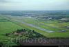
http://www.flickr.com/photos/stevenmaciejewski/tags/aerialshot/
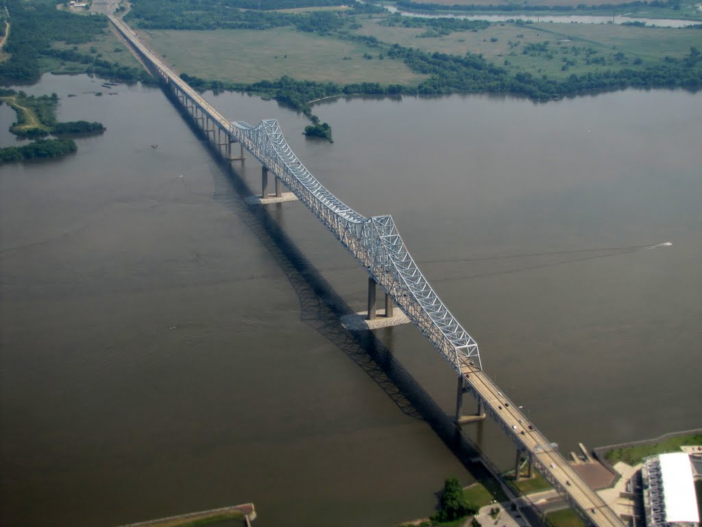
http://www.flyinphilsphotos.com/photo-info/bridges.html
http://www.flickr.com/photos/86813892@N00/tags/delaware/

Vídeo:
Contador: 7275
Inserción: 2014-01-31 18:47:44
Lugares a visitar en un radio de 100 km (en línea recta)


Mapa de los lugares a 100 km (en línea recta)
Mostrando Registros desde el 1 hasta el 0 de un total de 0
Visitas RSS |
Más visitados Basílica de San Marcos  149079 Catedral de Notre Dame (París)  137705 Torre de Pisa  128217 Monte Saint-Michel  97347 Presa de las Tres Gargantas  73674 |
Incorporaciones |
Comentarios Arq. Jaime Fuentes Flores  Torres Obispado EXTRAORDINARIO . FELICIDADES . Un Cordial saludo Directivos y Personal de ... hazola  Cúpula de la Roca gracias me... gera  Buenos Aires las mejores fotos de la mejor ciudad del... Daniel M. - BRASIL  San Francisco ... PEQUE  Presa Chicoasén SERA QUE ALGUIEN ME PUEDE DAR MAS INFORMACIÓN DE ESTE PROYECTO ESTUDIO EN LA UNACH Y ES PARA UN... |