
Nombre:
Canal Dortmund-Ems
Otro:
Localización:
Récord: 223.45 km
Tipo: Canales
Categoría:
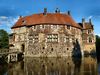
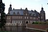
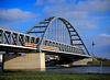
Foto:
Voto:
Continente: Europa
País: Alemania
Localización: Dortmund-Emden
Año: 1892-1899
Estado: Terminado
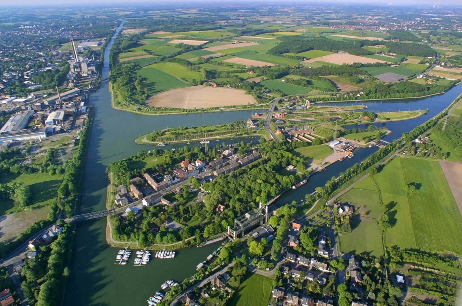
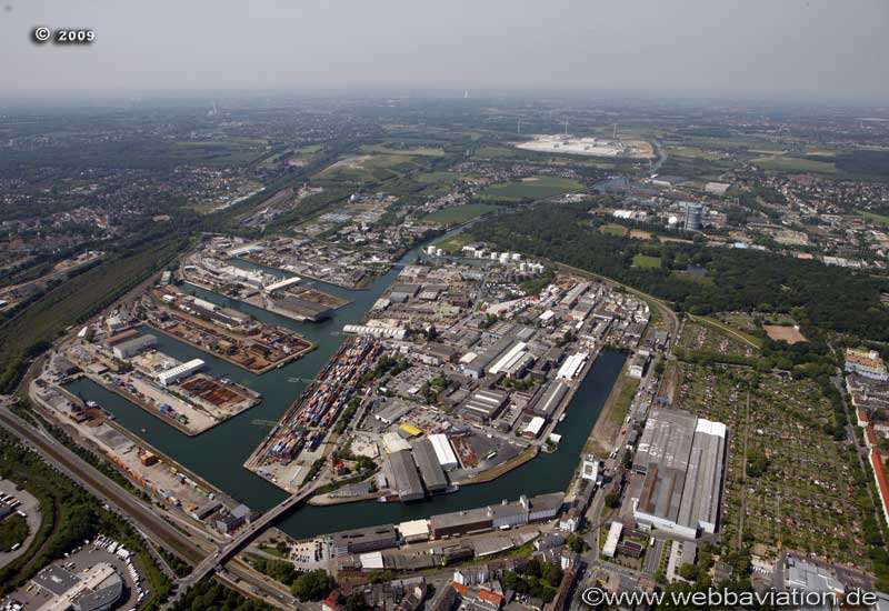
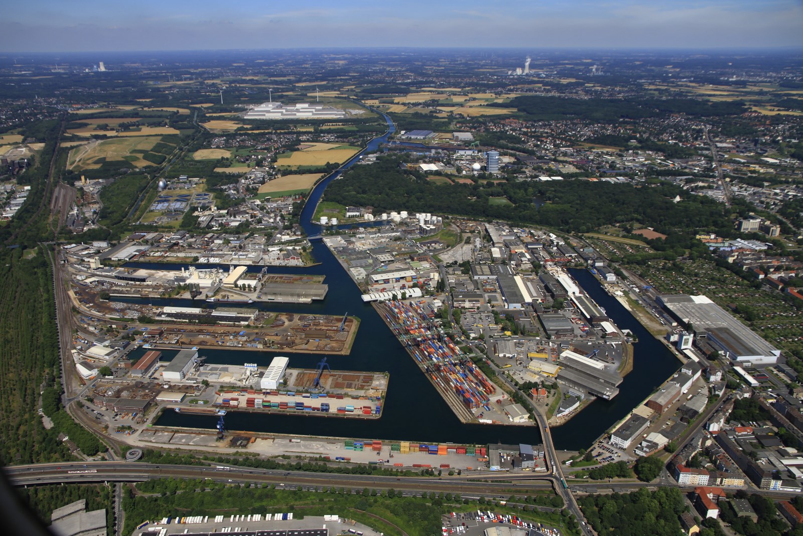
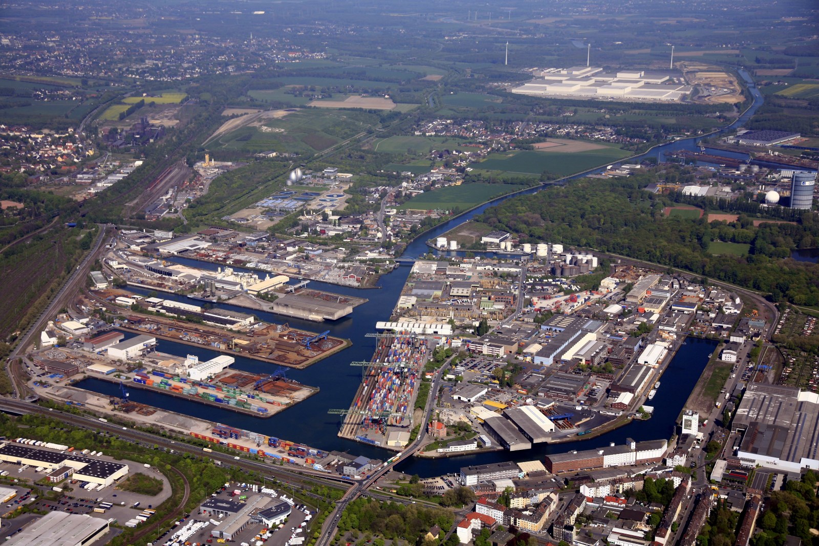
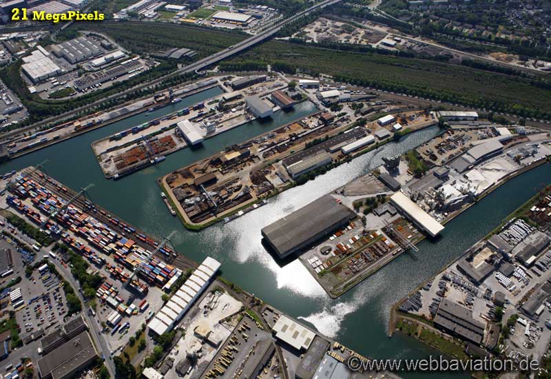
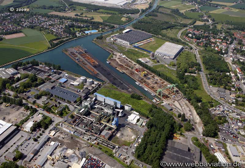
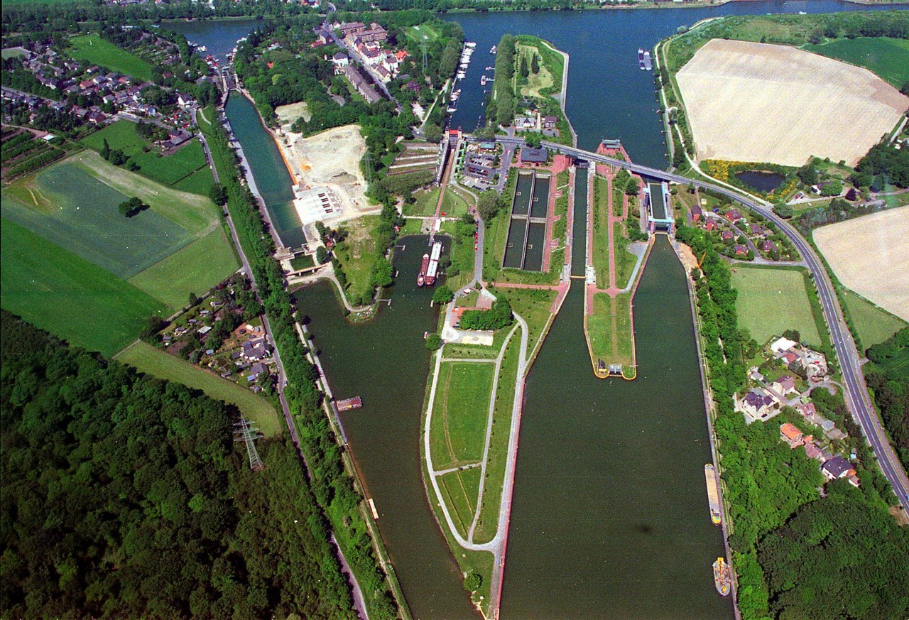
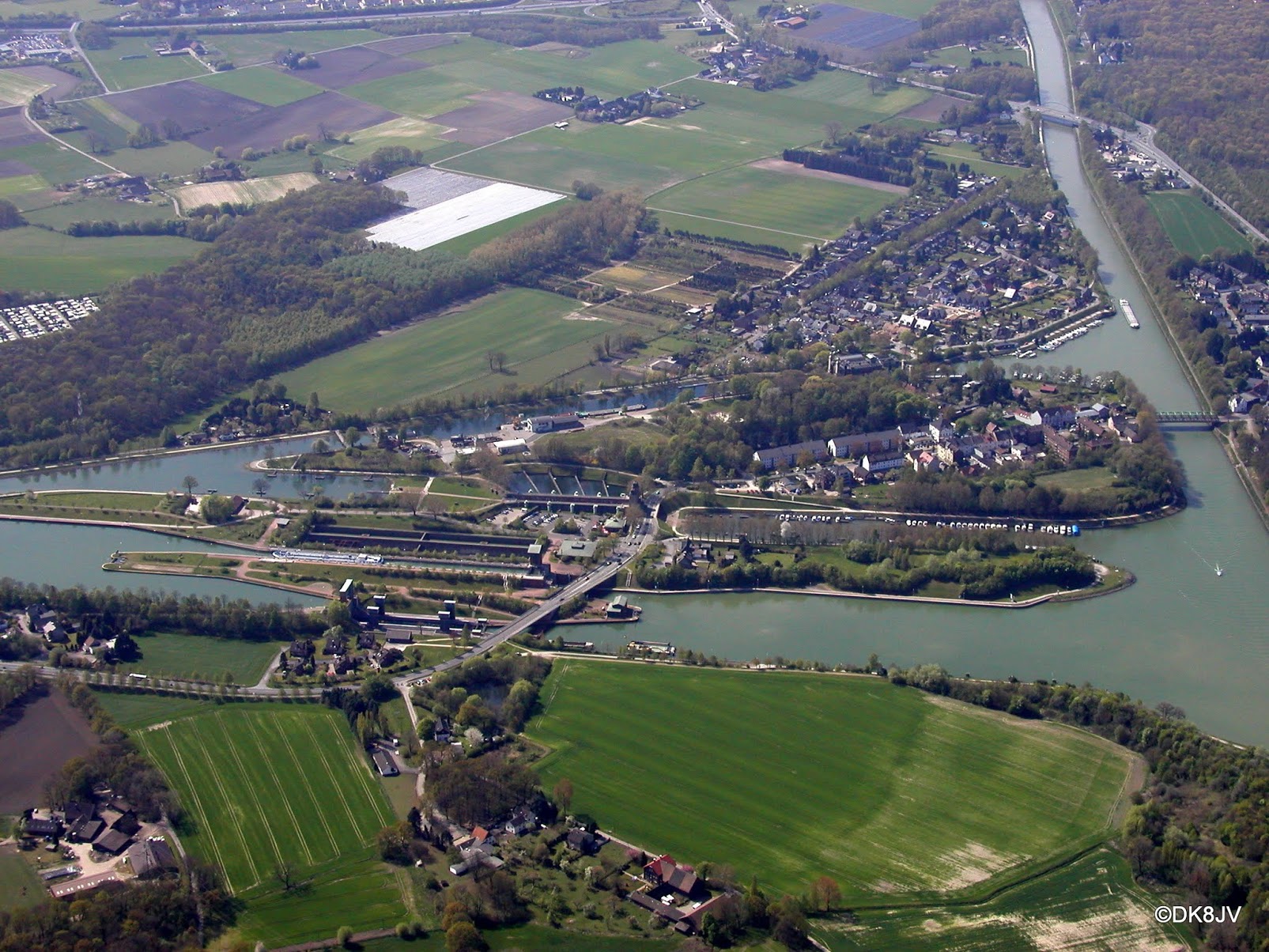
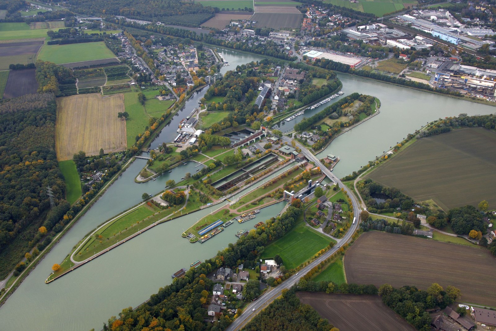
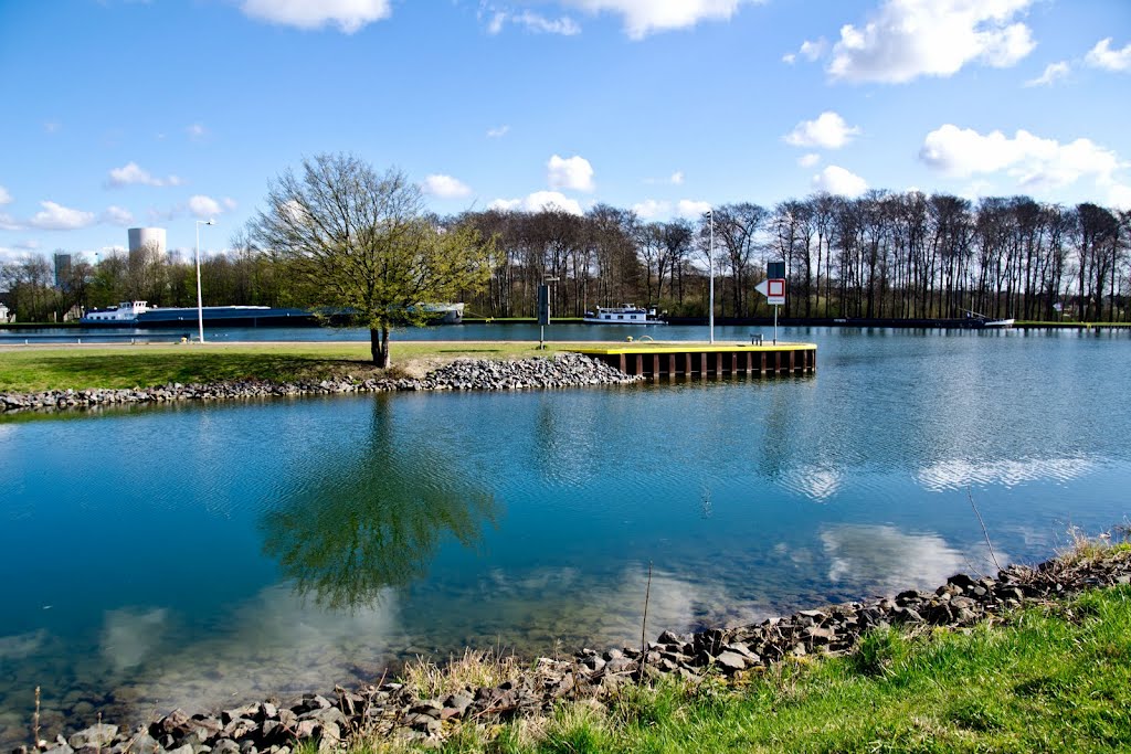
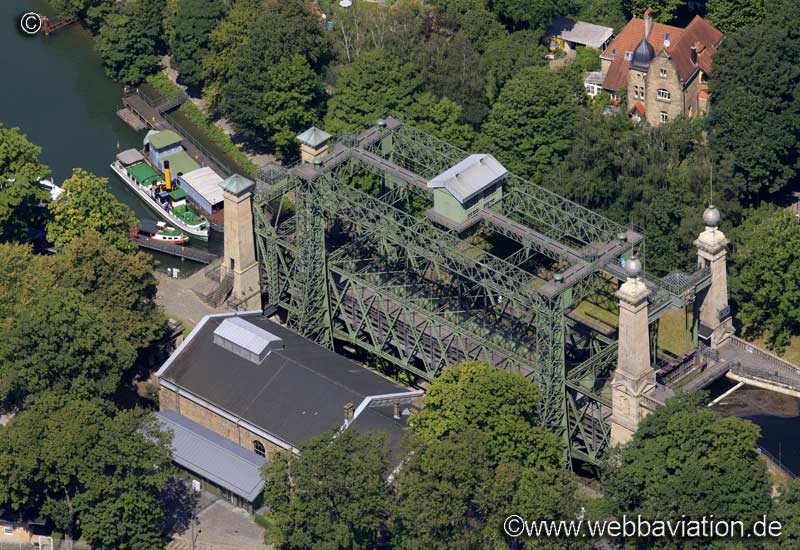
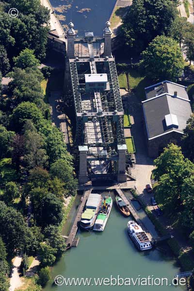
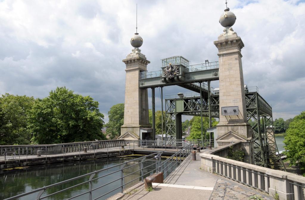
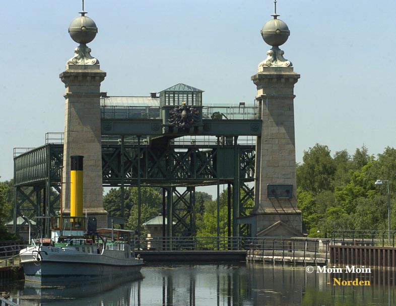
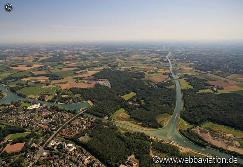
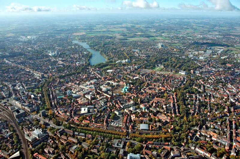
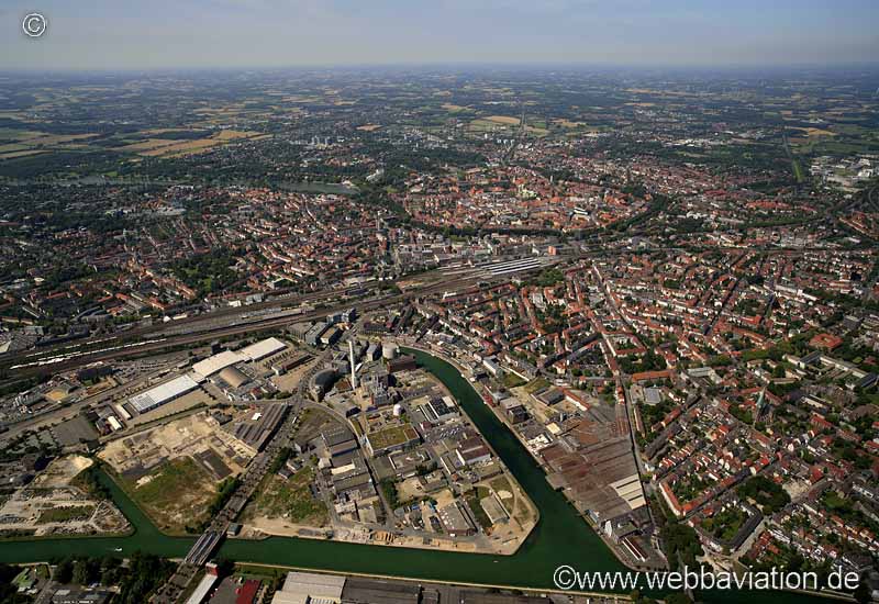
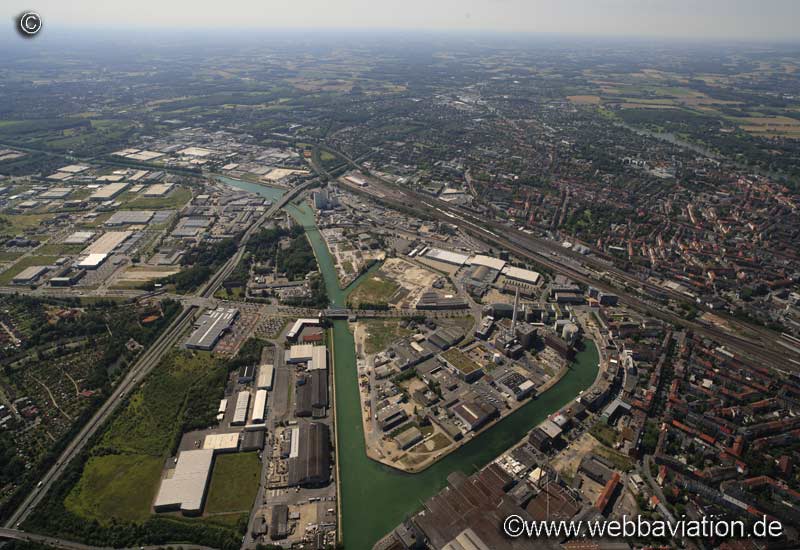
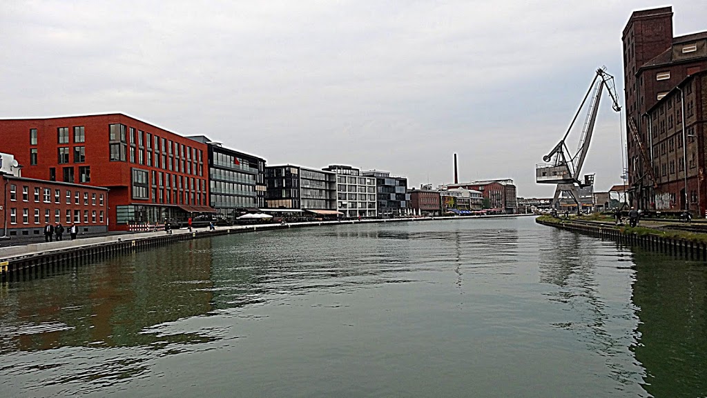
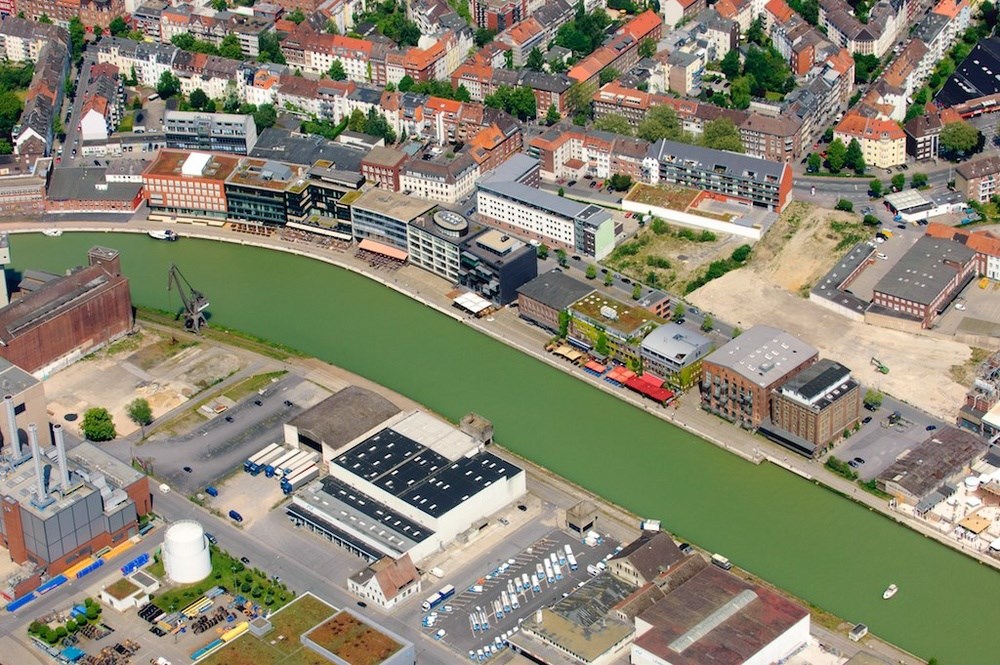
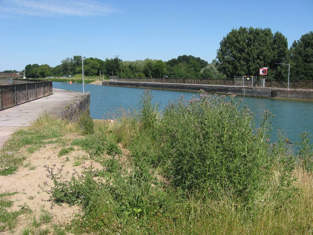
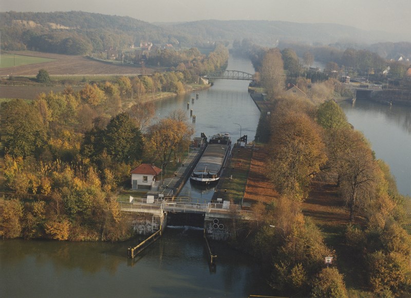
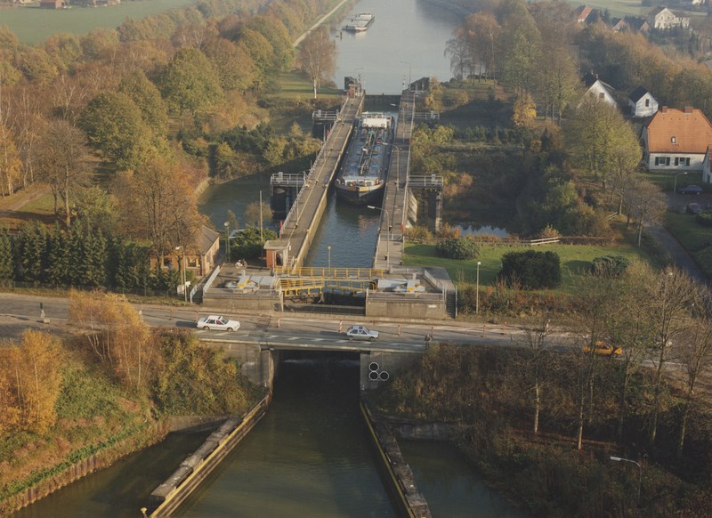
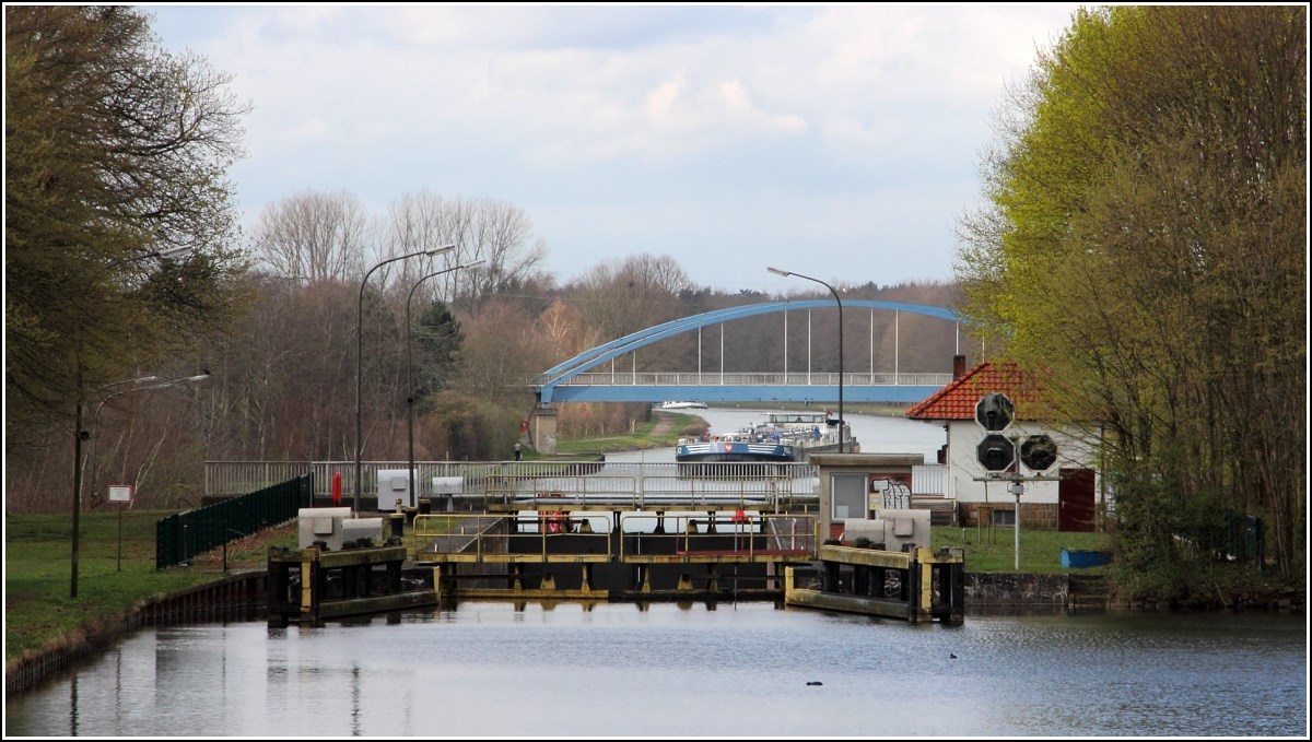
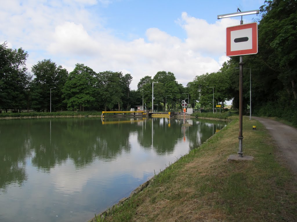
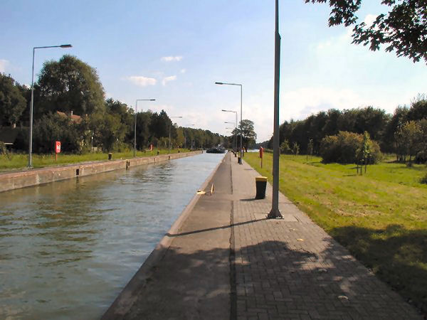
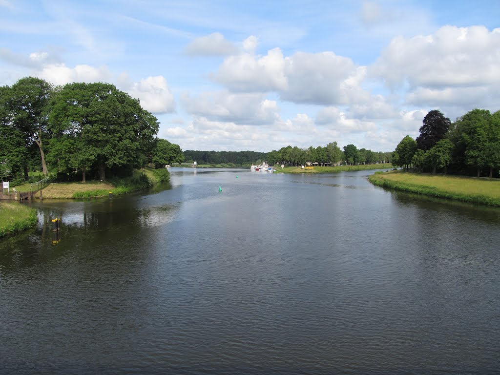
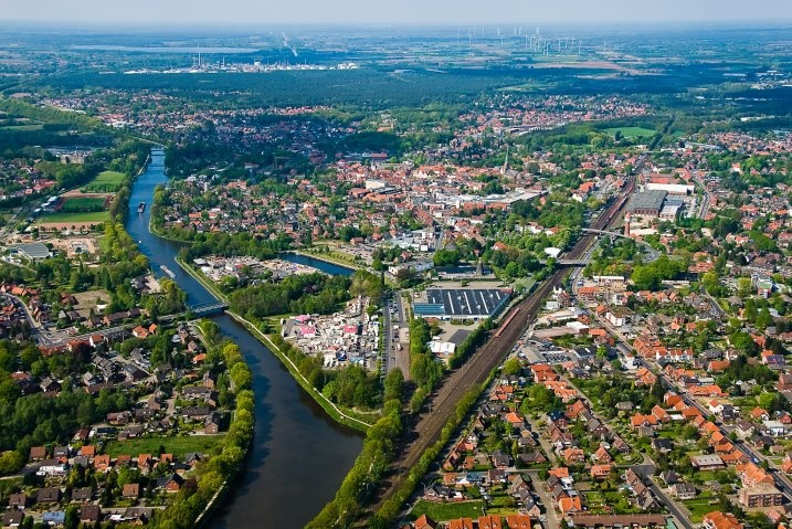
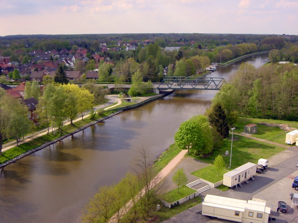
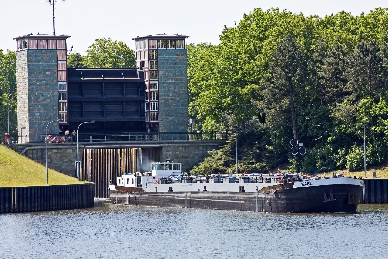
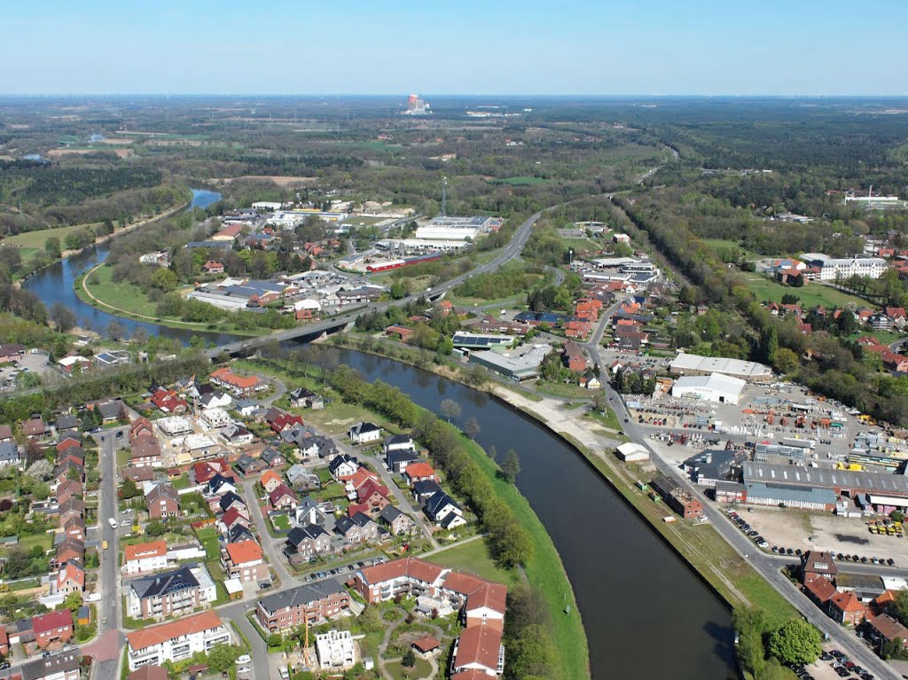
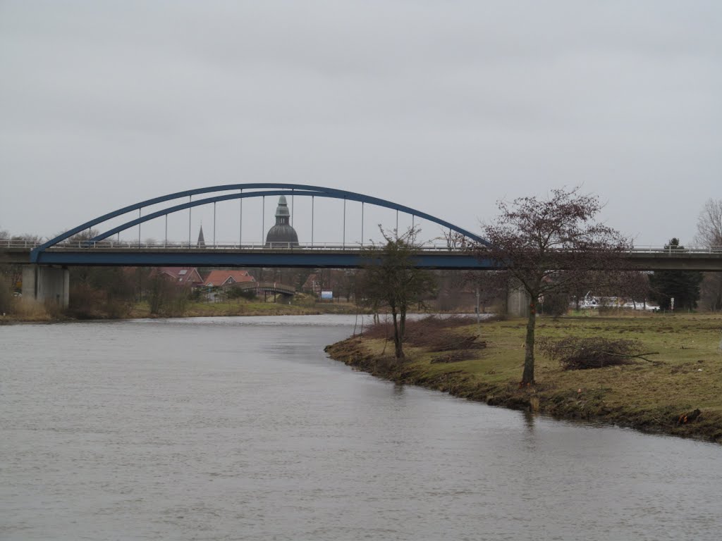
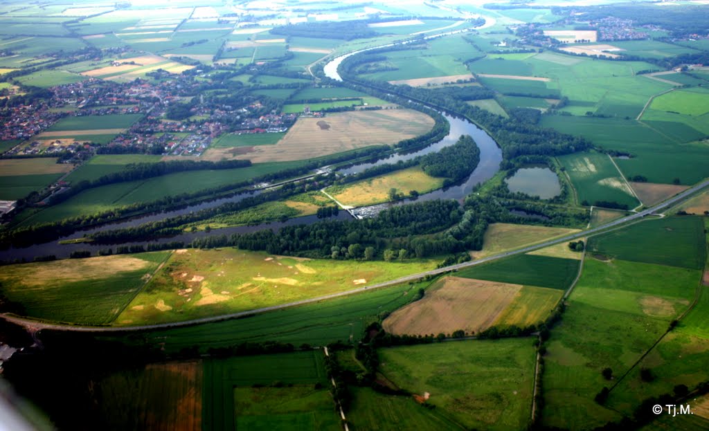
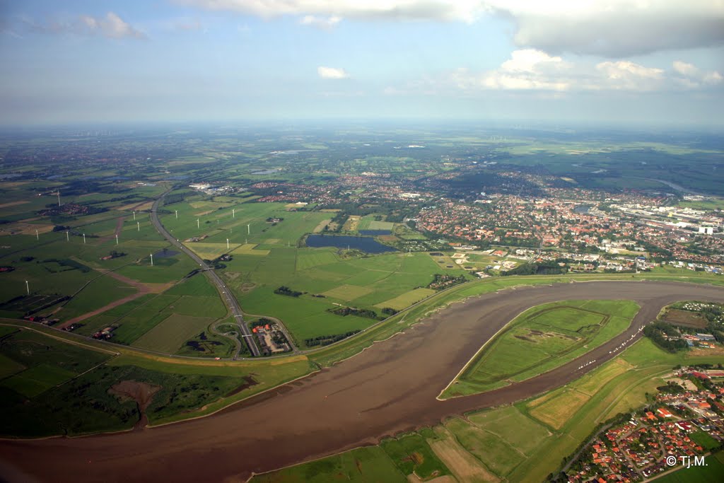
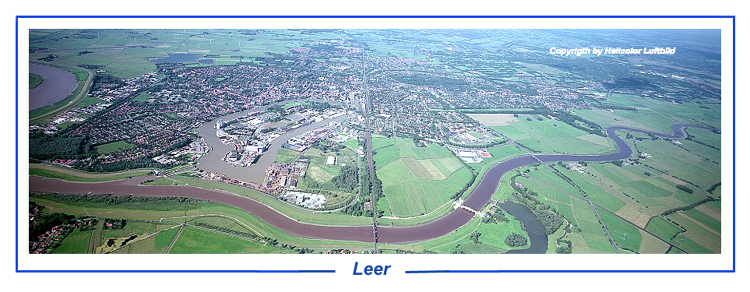
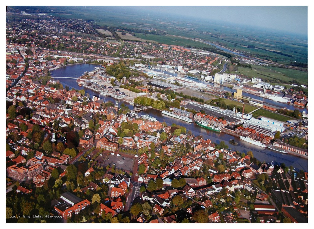
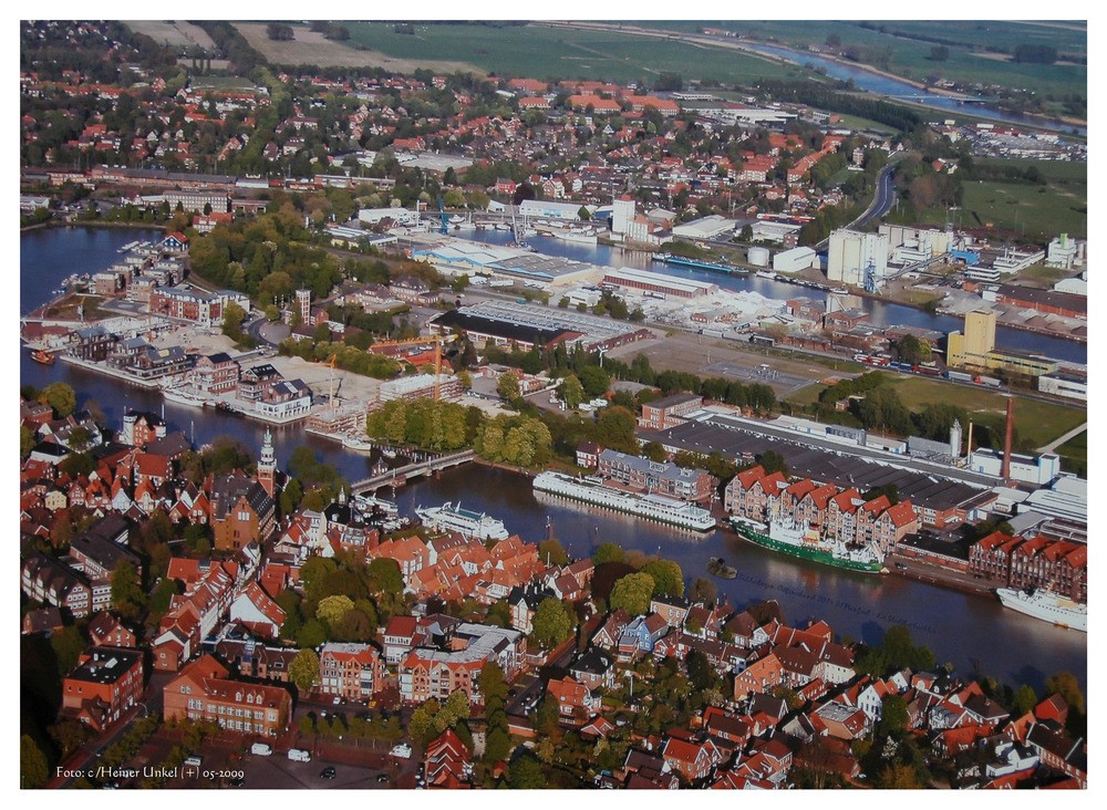
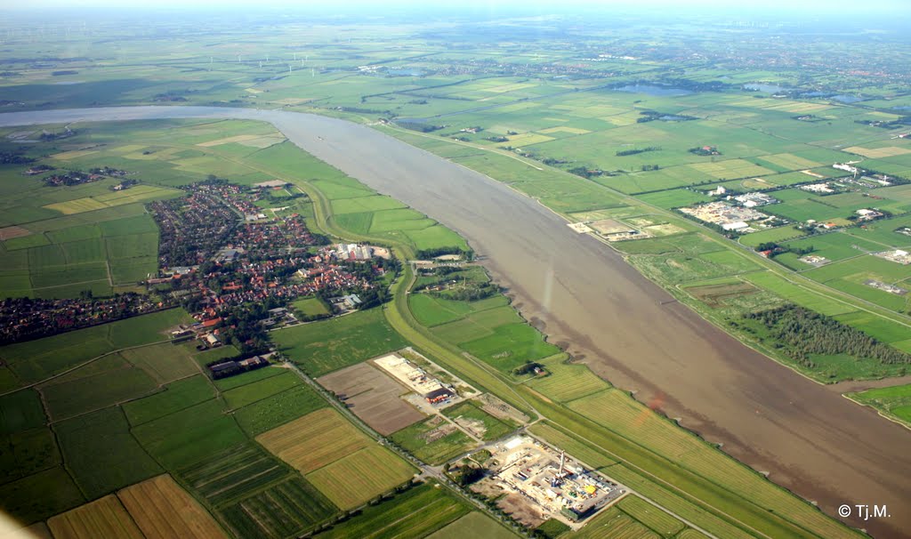
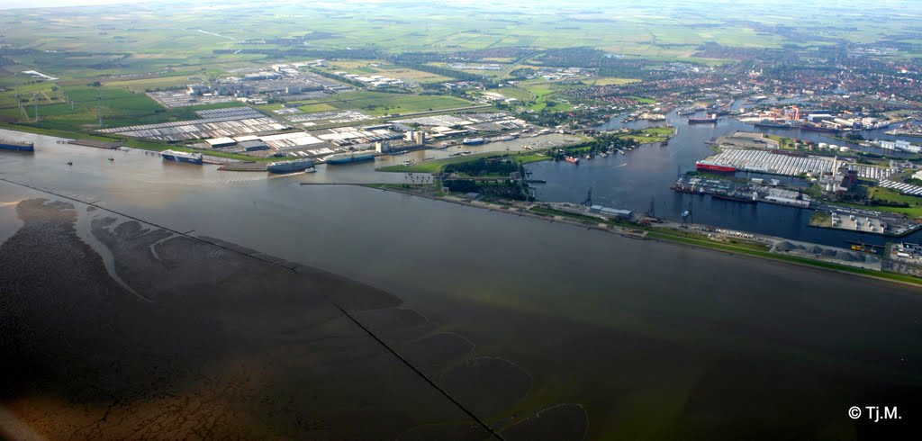
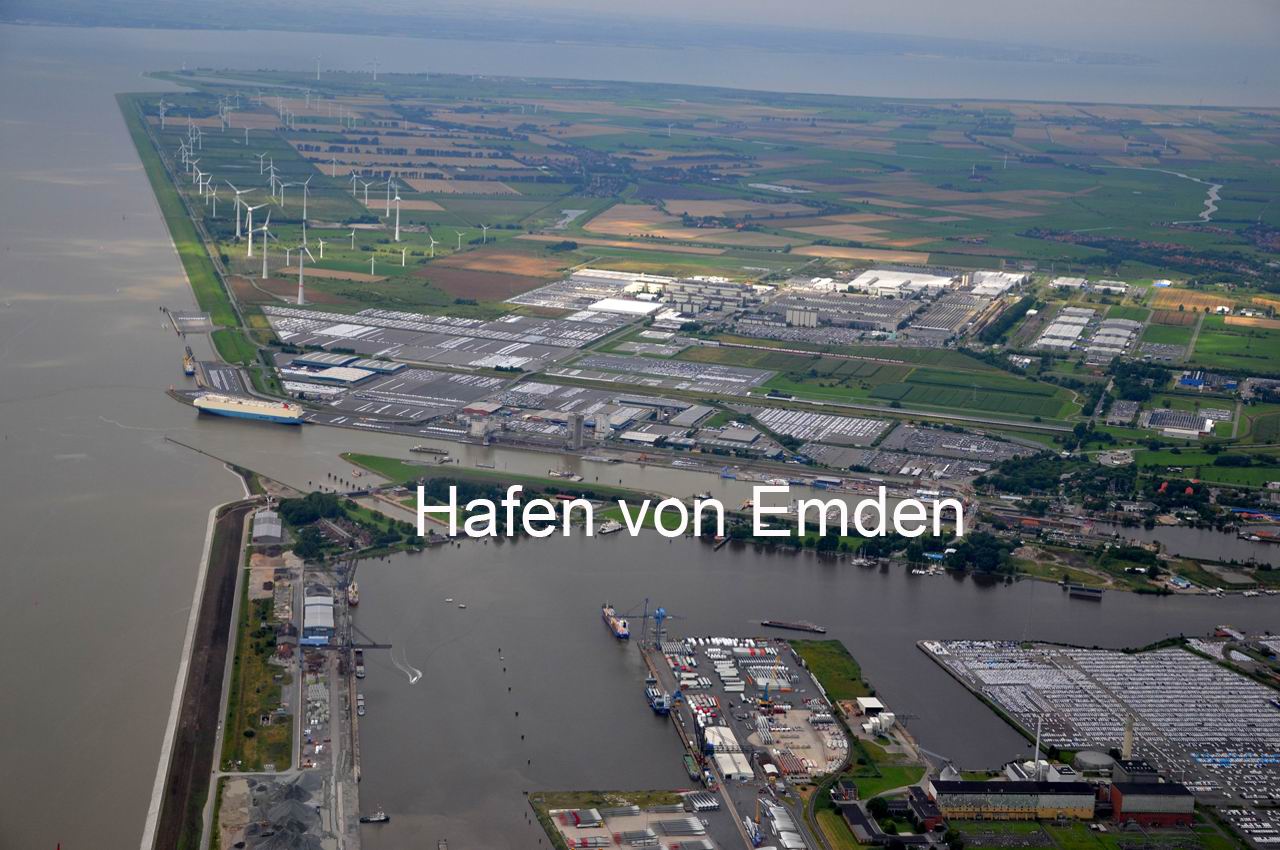
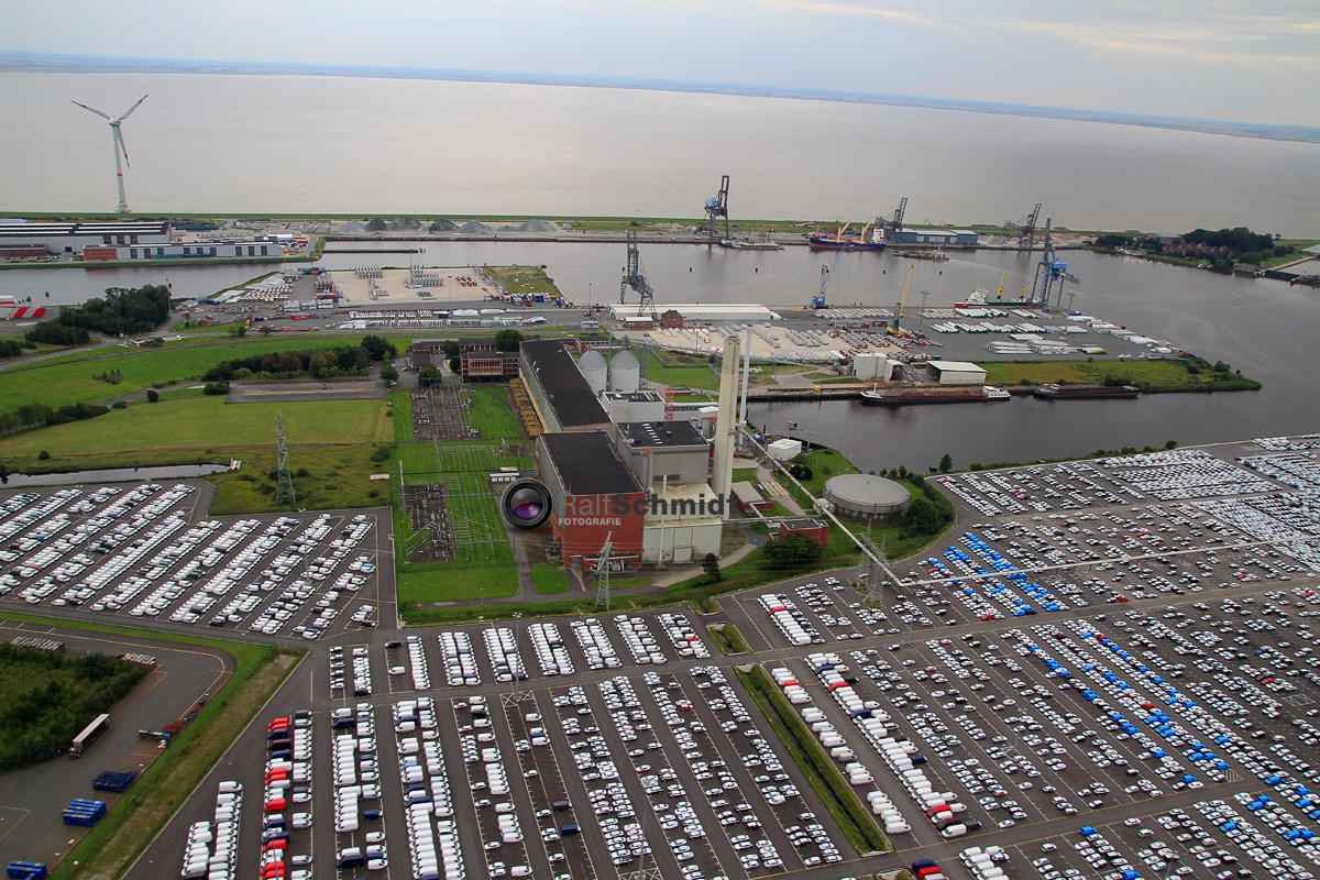
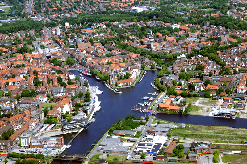
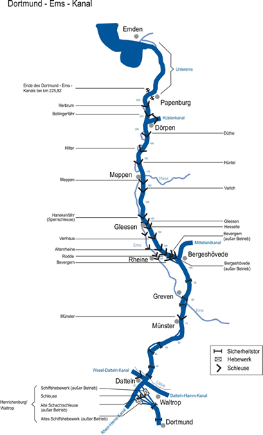
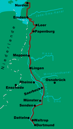
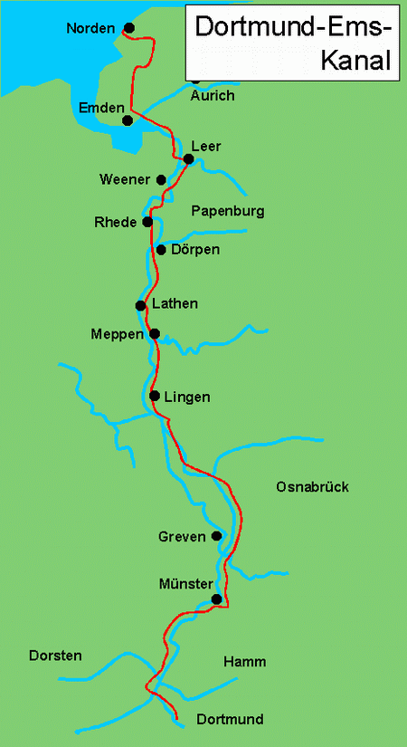
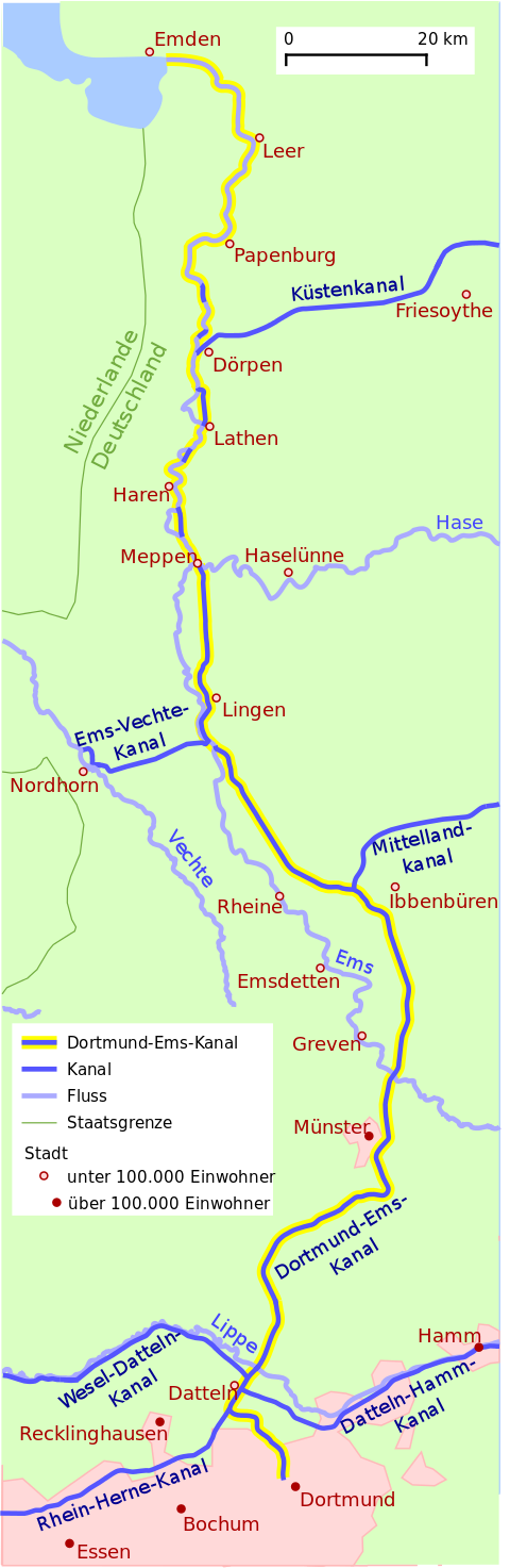
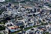
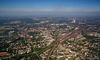
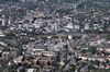
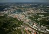
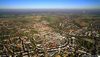
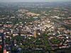
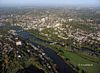
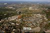
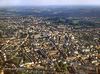
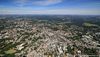
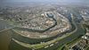
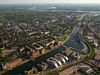
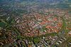
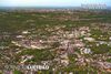
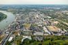
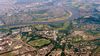
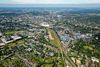
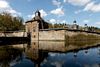
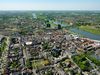
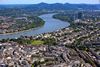
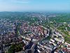
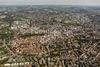
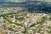
Descripción:El Canal Dortmund-Ems (DEK, Código de Aguas: 70501) es un canal federal entre el puerto de la ciudad de Dortmund y Papenburg / Emsen, en los estados federales de Renania del Norte-Westfalia y Baja Sajonia.
Historia
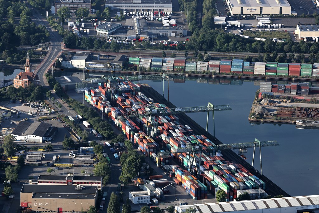
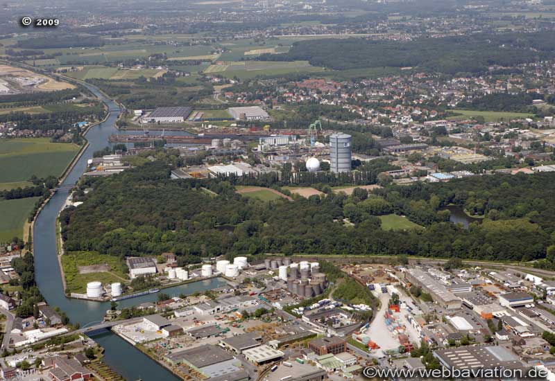
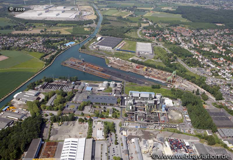
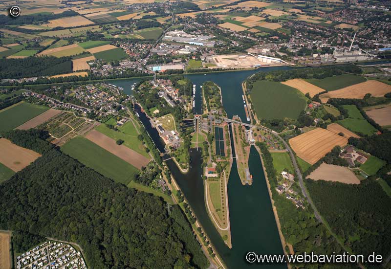
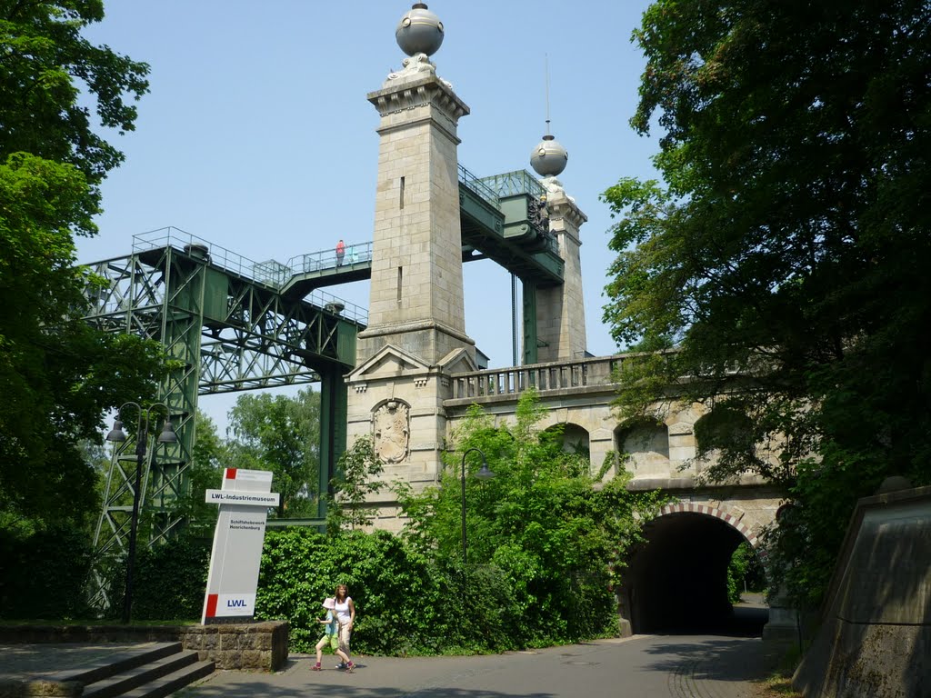
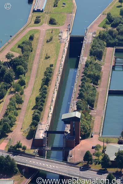
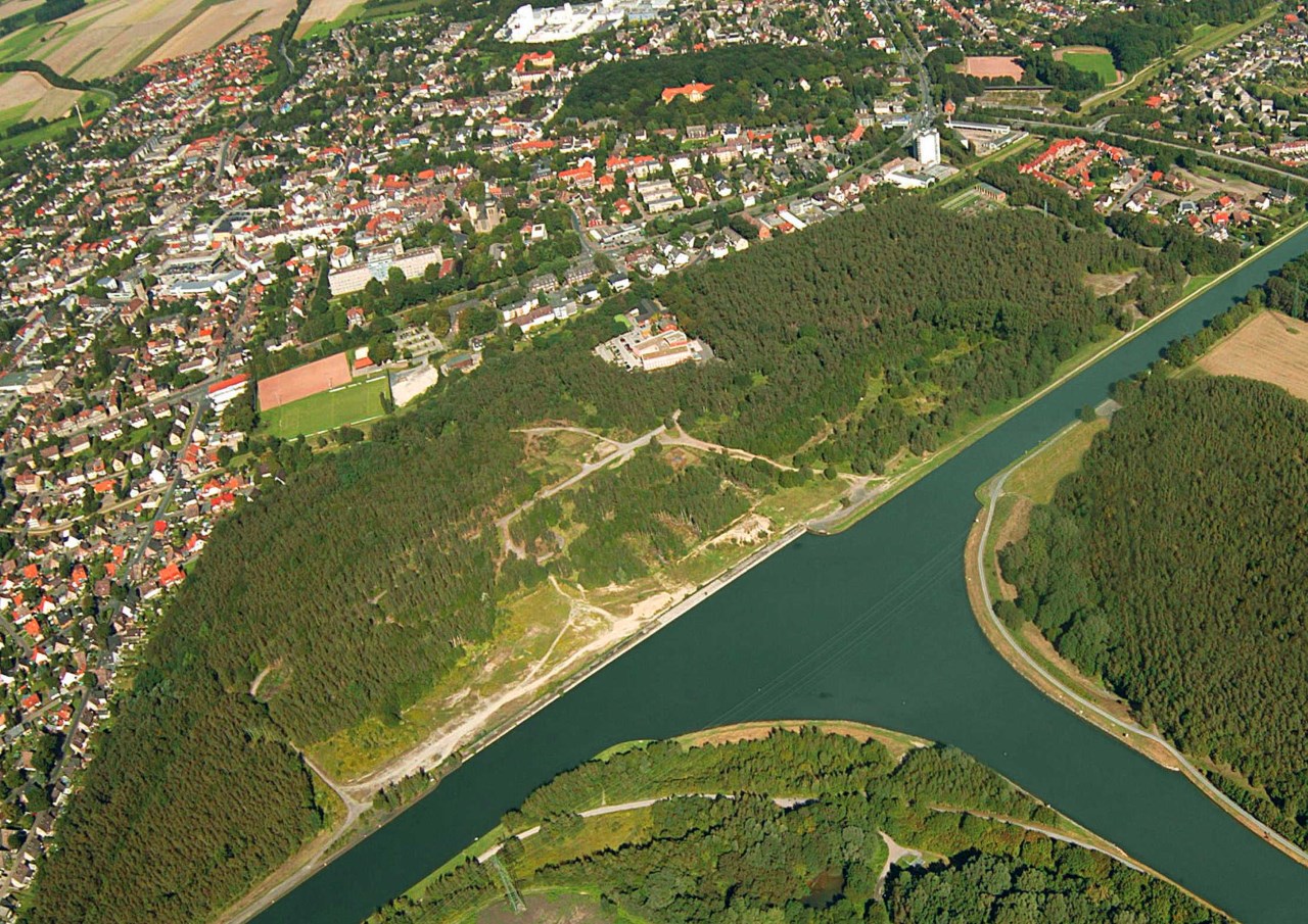
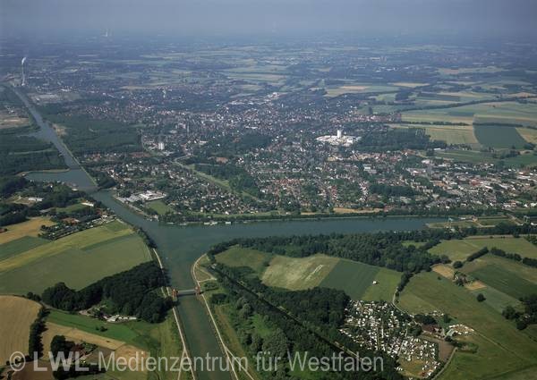
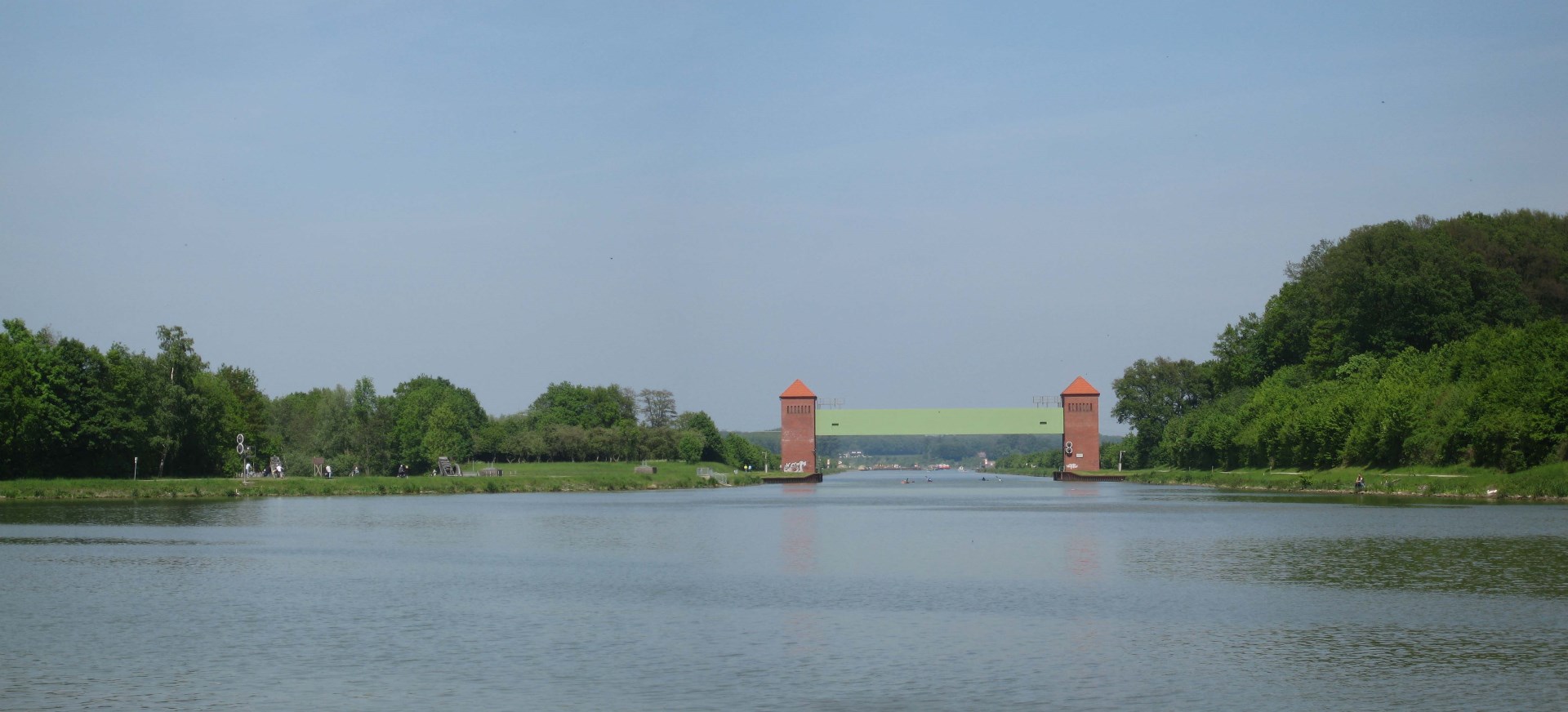
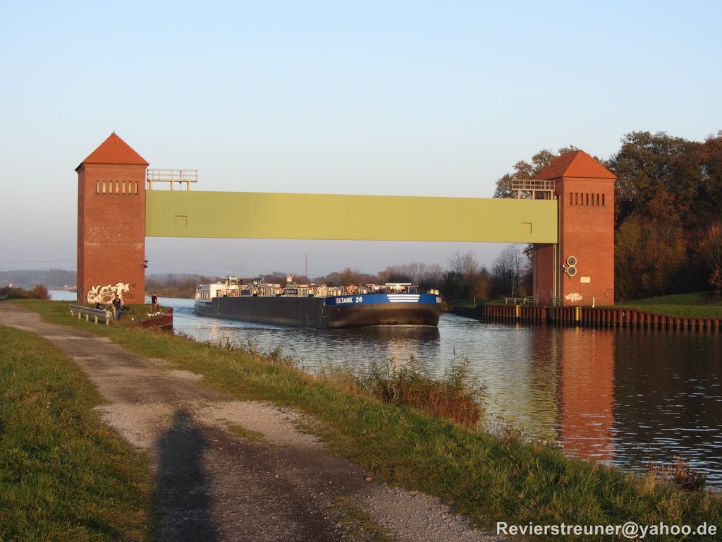
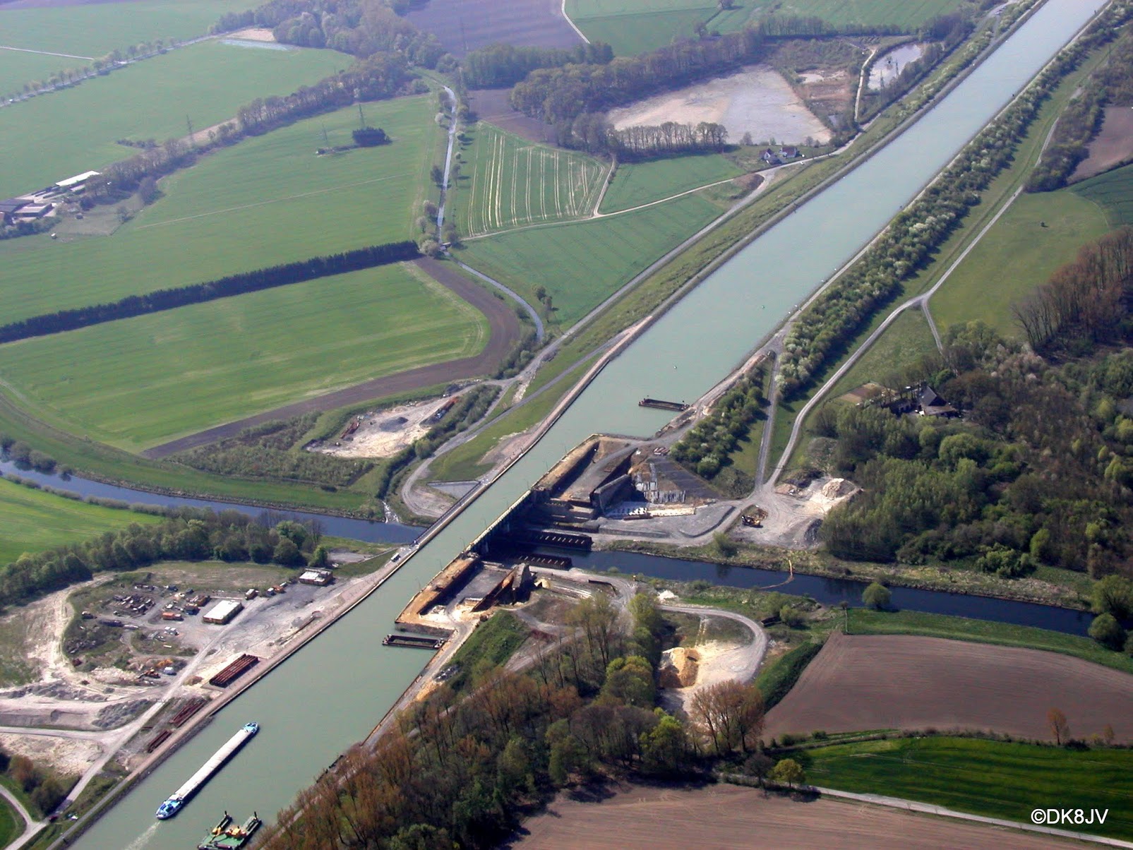
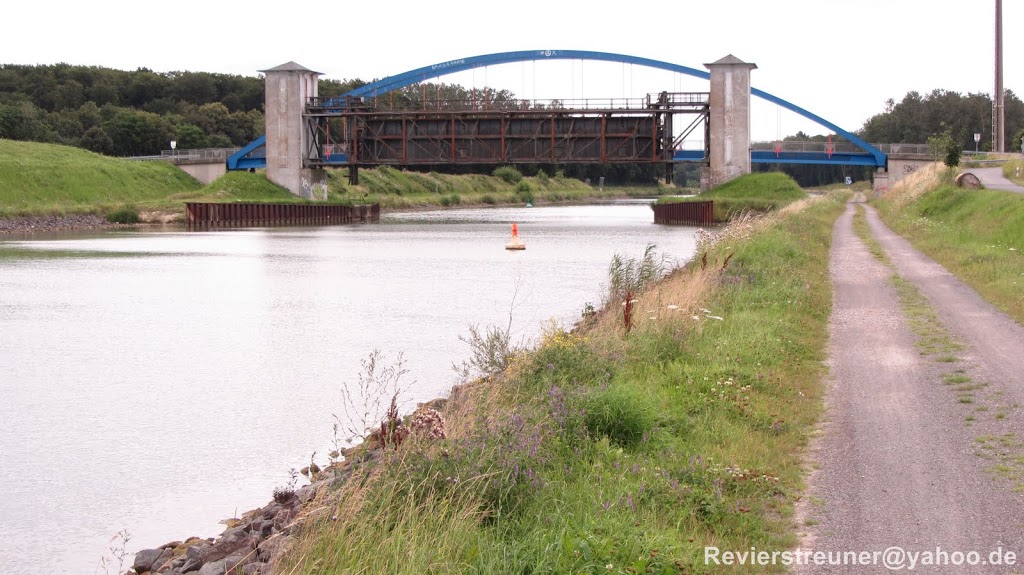
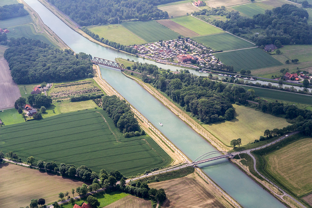
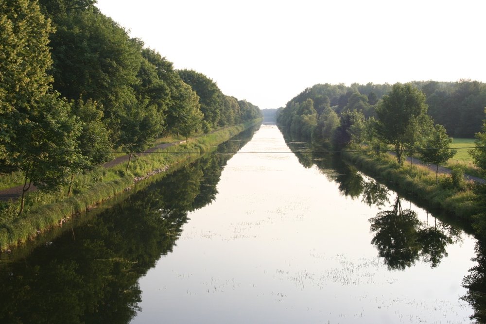
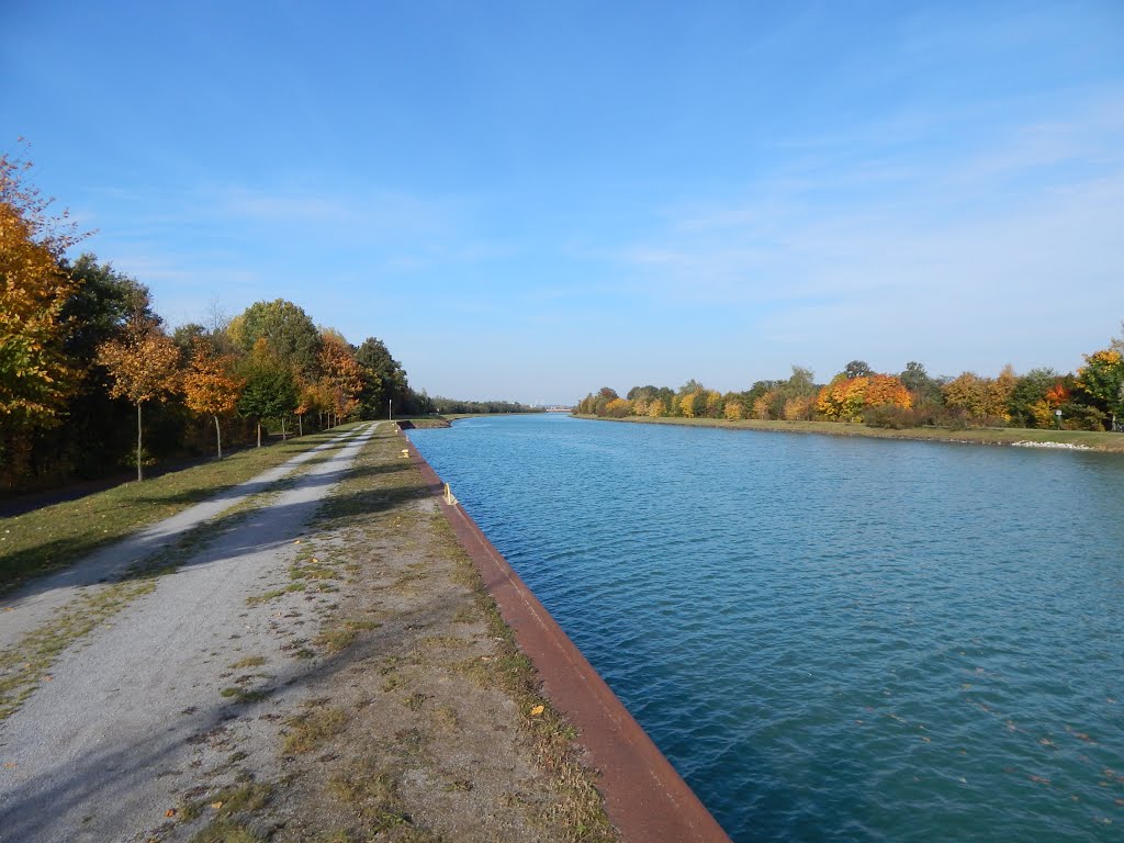
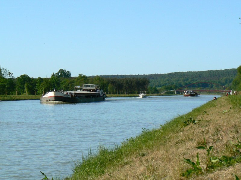
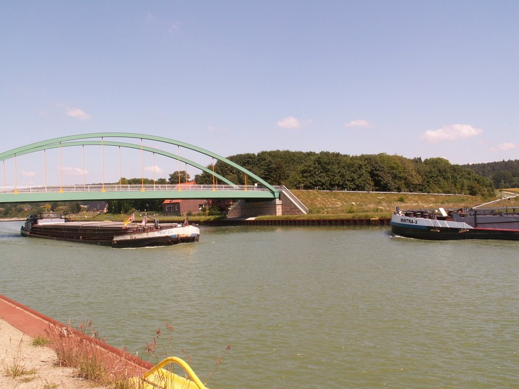
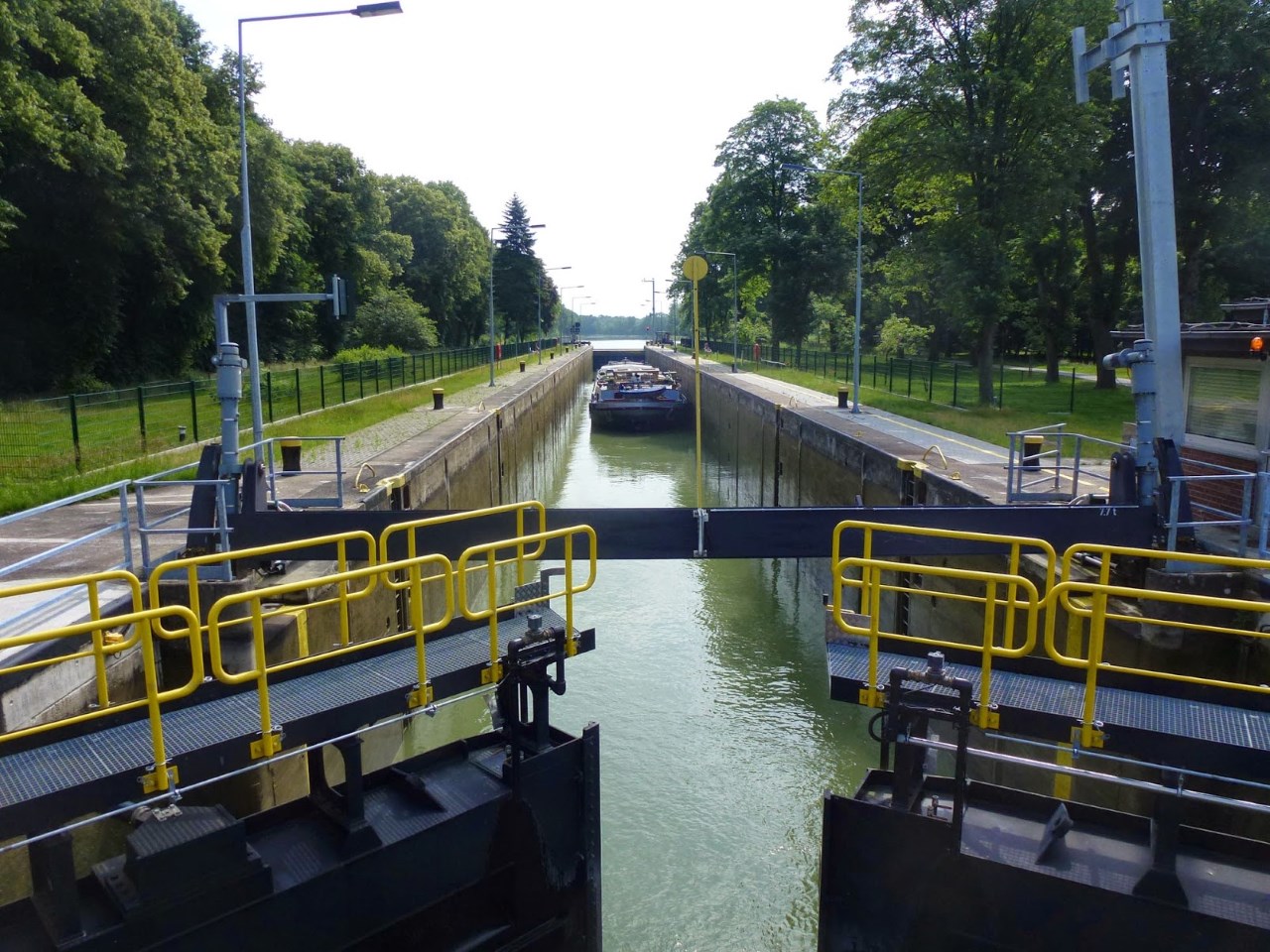
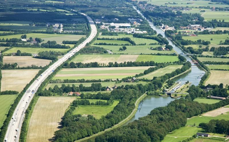
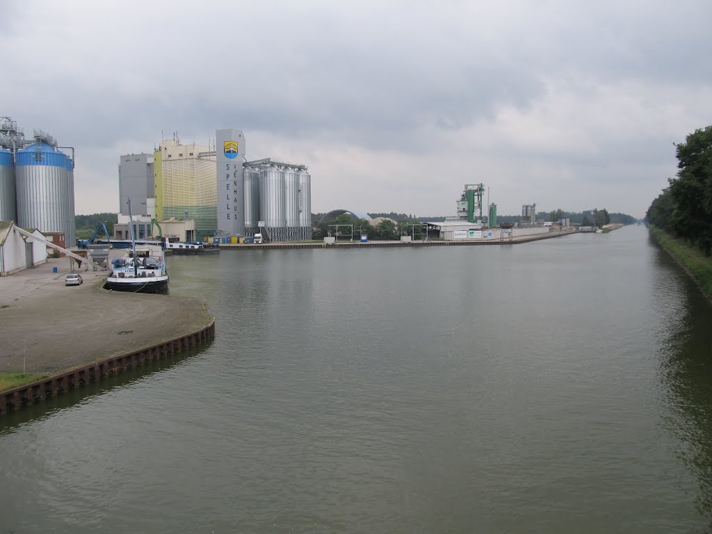
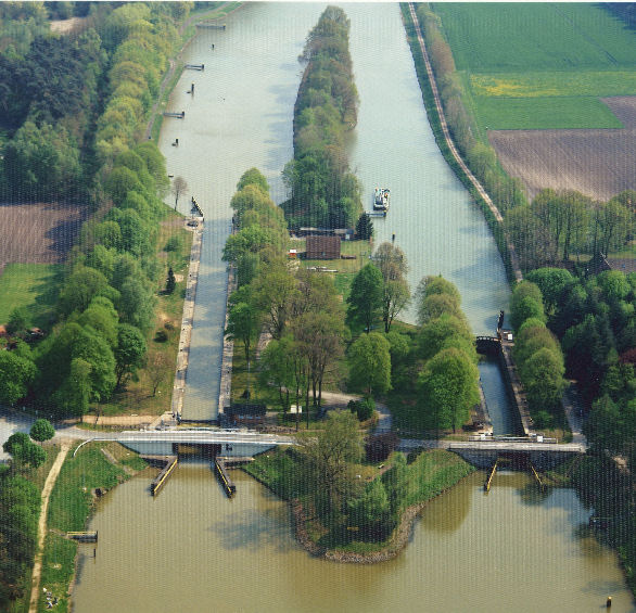
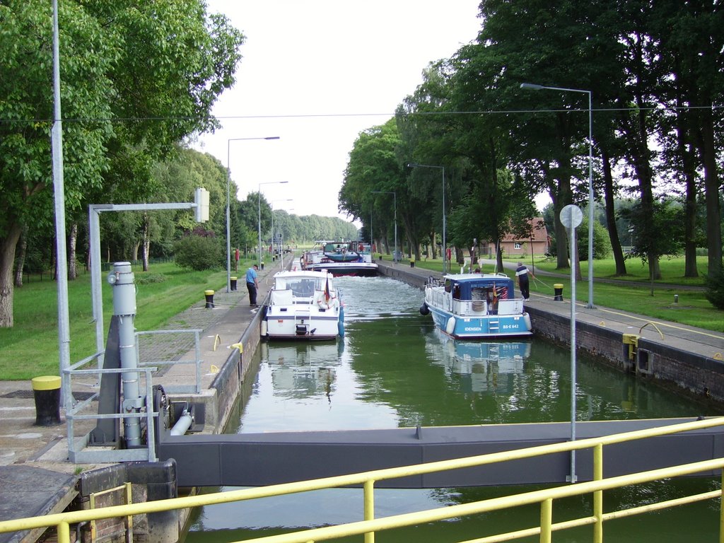
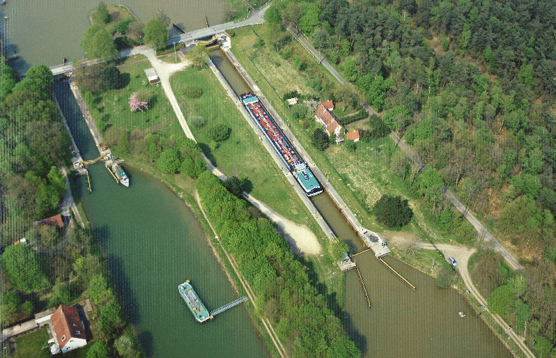
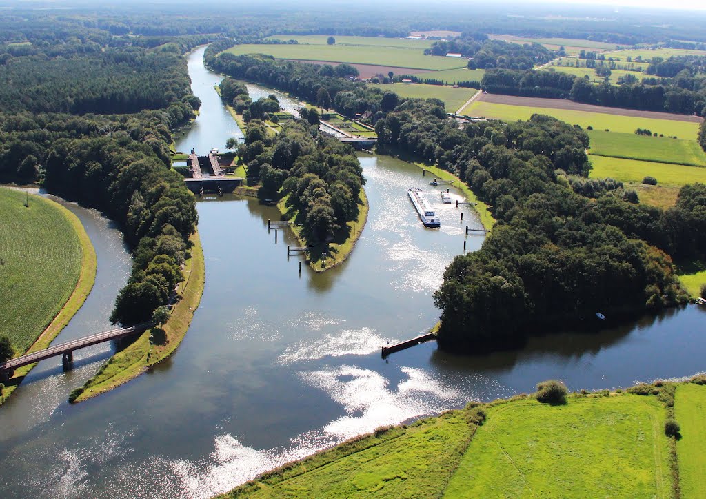
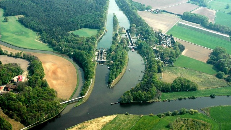
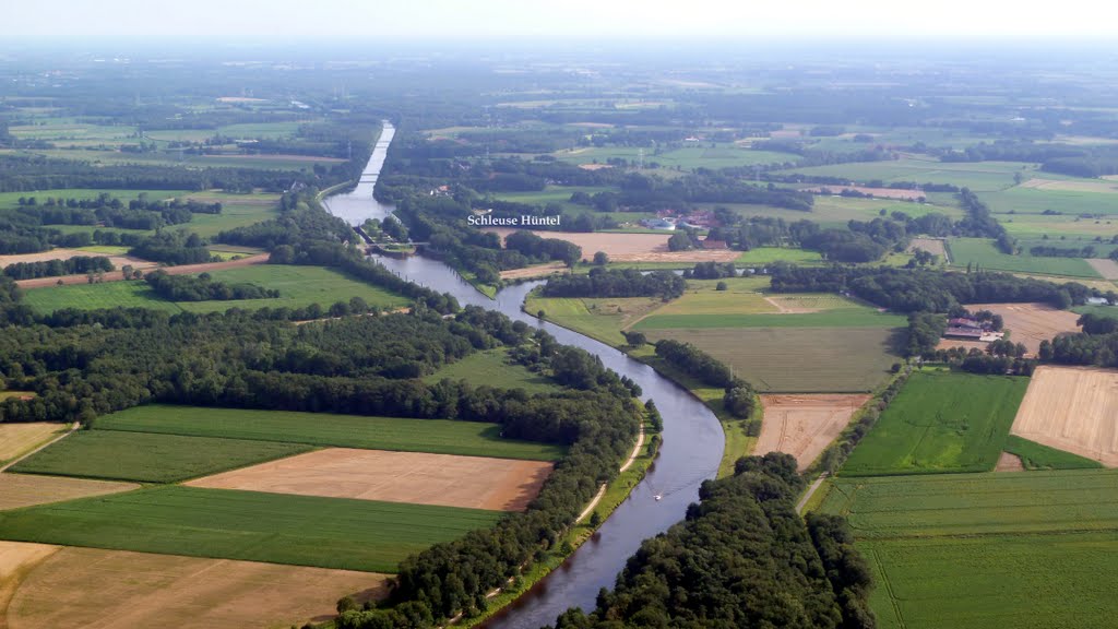
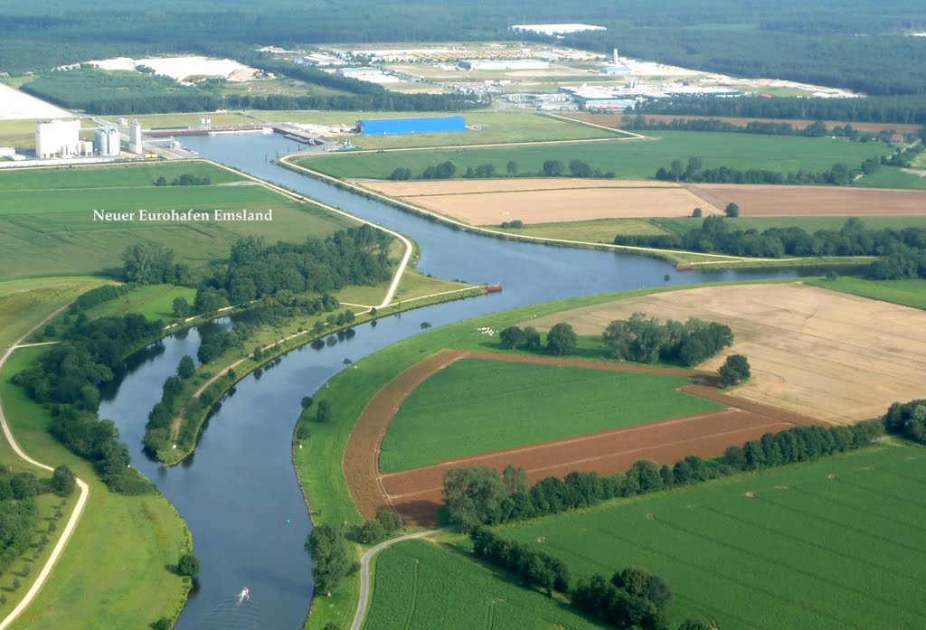
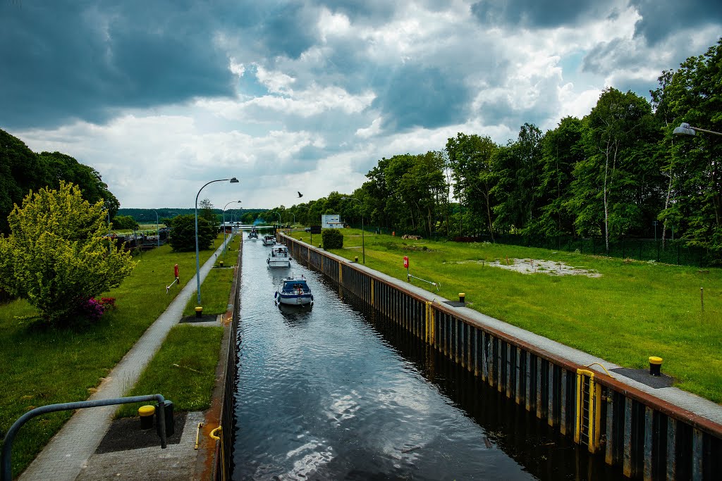
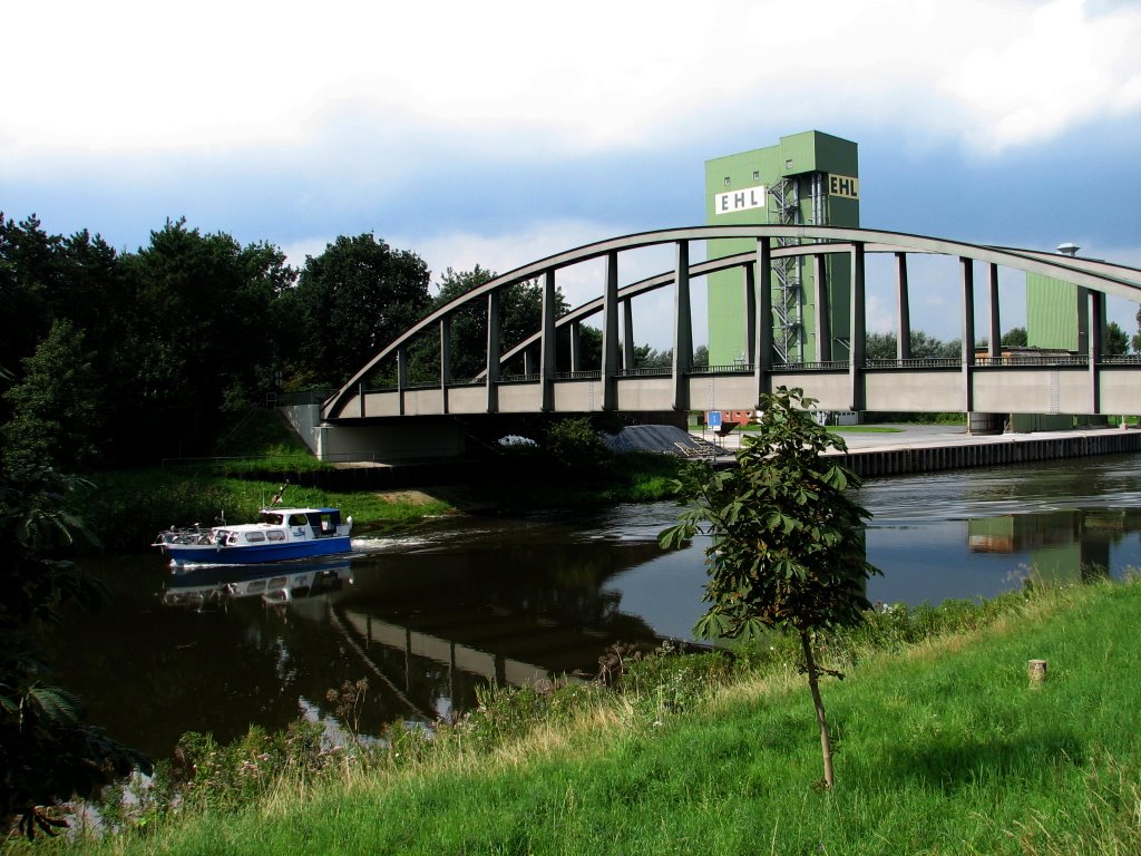
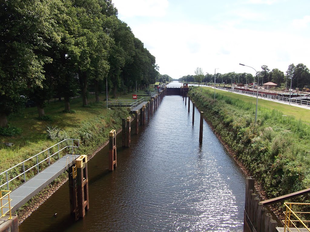
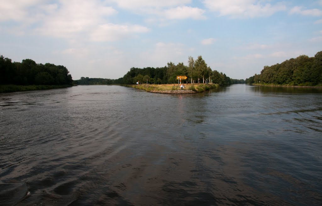
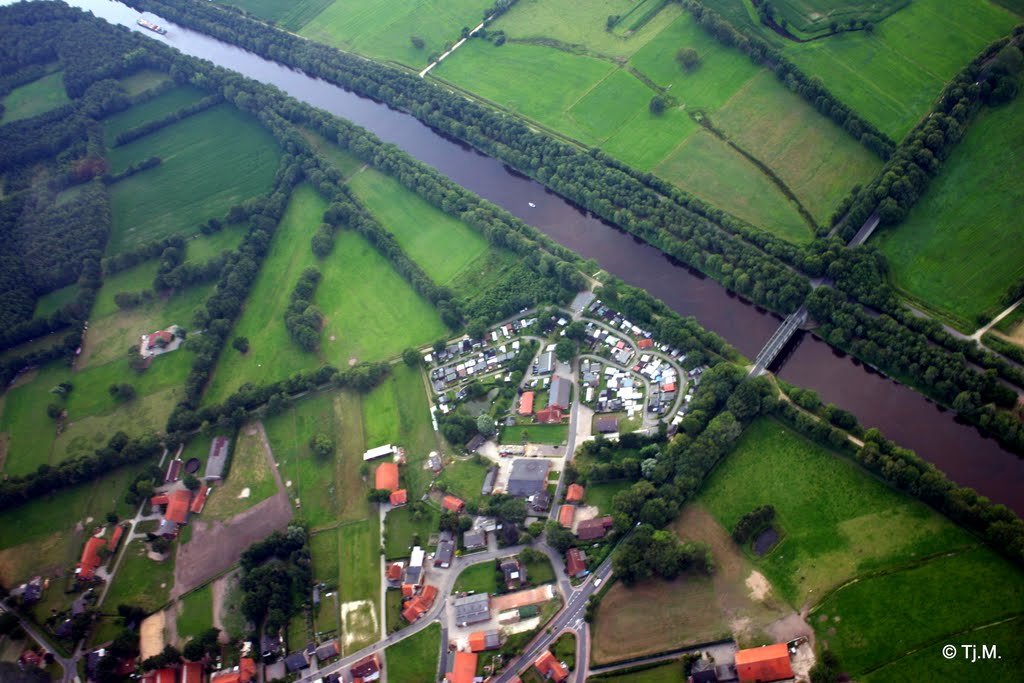
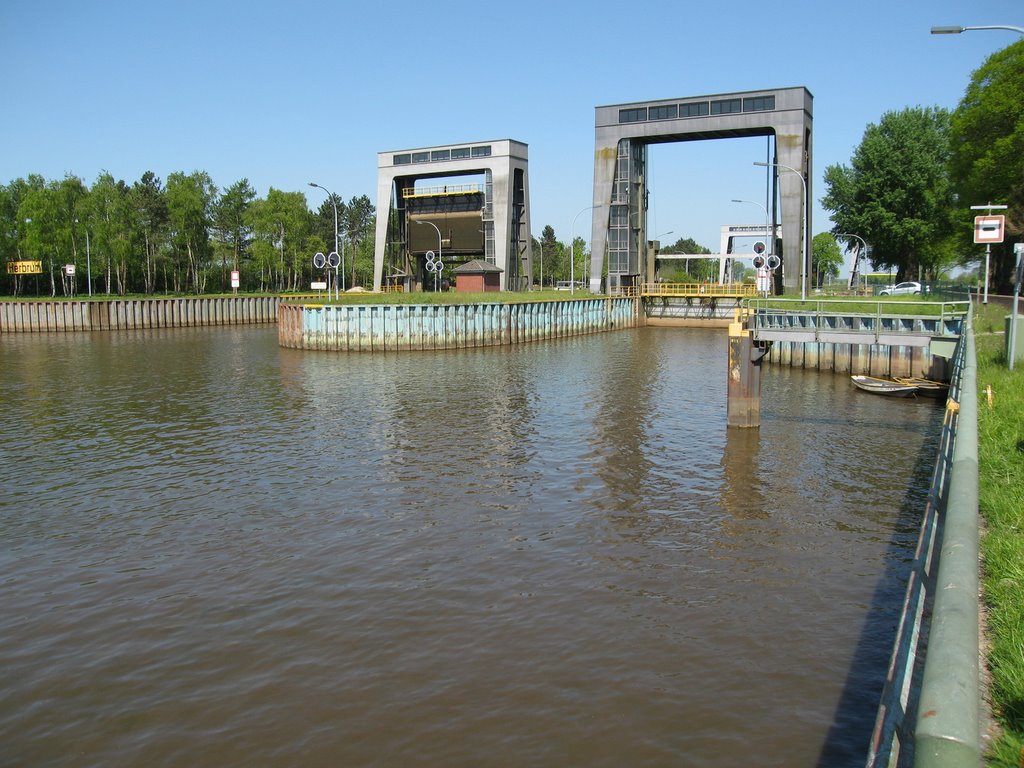
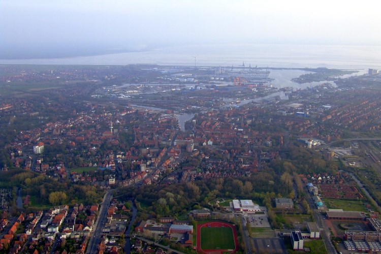
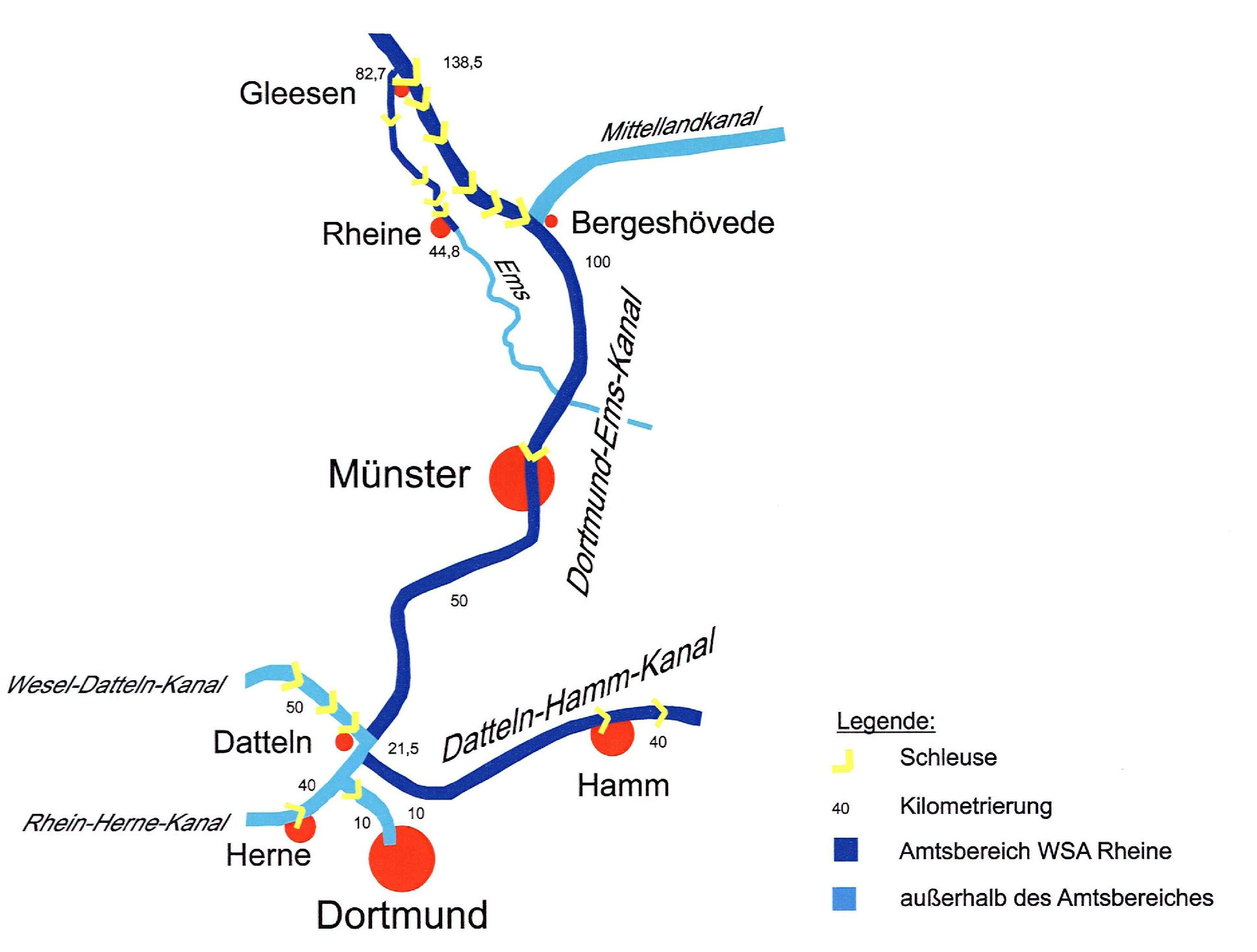
El Canal de Dortmund-Ems, comienza en el puerto de Dortmund en el kilómetro 1,44 y por el otro lado en el puerto exterior inferior del antiguo elevador Henrichenburg de barcos al final del canal Rin-Herne. A continuación, se ejecuta como un canal, es decir como el lecho de un río artificial, hasta enlazar con el Ems en Gleesen, al sur de Lingen en el Km 138,3, y en Hanekenfähr en el Km. 140. A partir de ahí sigue el DEK como un canal lateral de la ruta contruida en 1828, incorporando el Ems-Hase hasta la confluencia en Meppen en el kilómetro 165,9. El curso posterior pasa por la sección de Haren y la esclusa Herbrum en el kilómetro 213,5. Desde Tideems en Papenburg por DEK. El punto final en el Km 225.82 es también la transición del canal a la vía navegable Unterems-Kilometrierung (UEM km 0,0). La longitud total del DEK es de 223,45 kilometros. Desde el año 1968 es clase de vía fluvial IV (Europa barco), sólo la parte del puerto de Dortmund - desviación del Wesel Datteln es de clase Vb. El viaje en barco entre Gleesen y Hanekenfähr y por debajo de Meppen la inundación del Ems puede afectar.
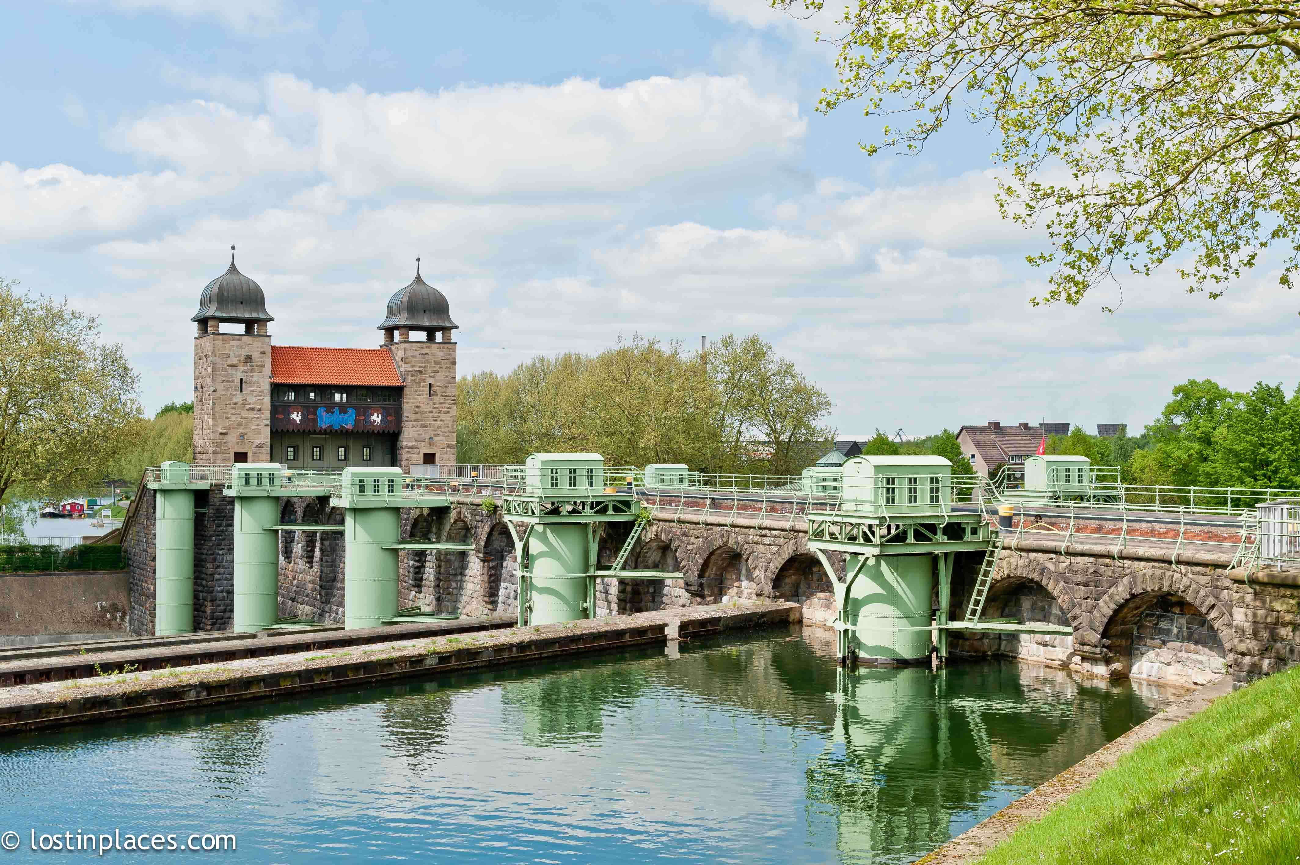
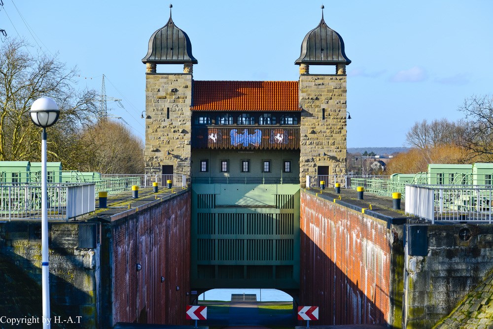
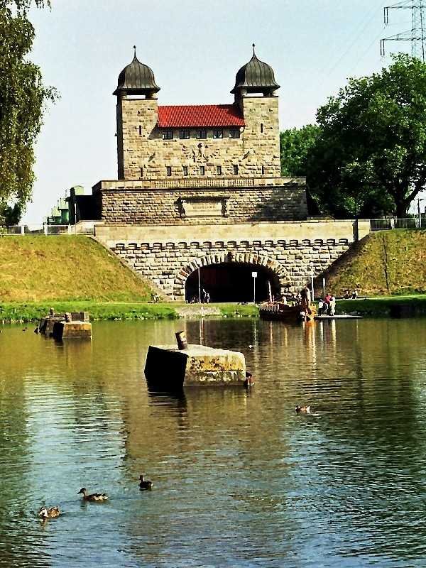
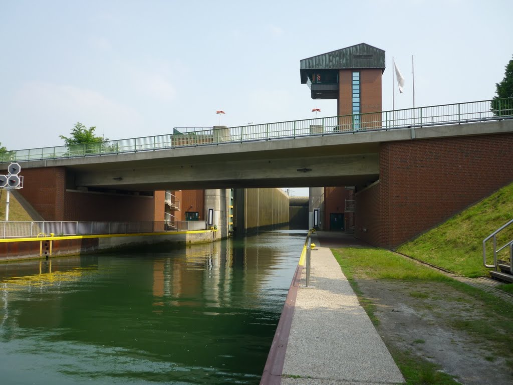
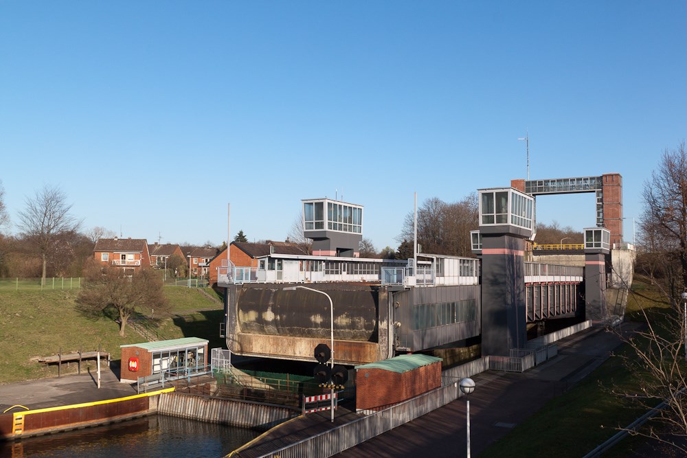
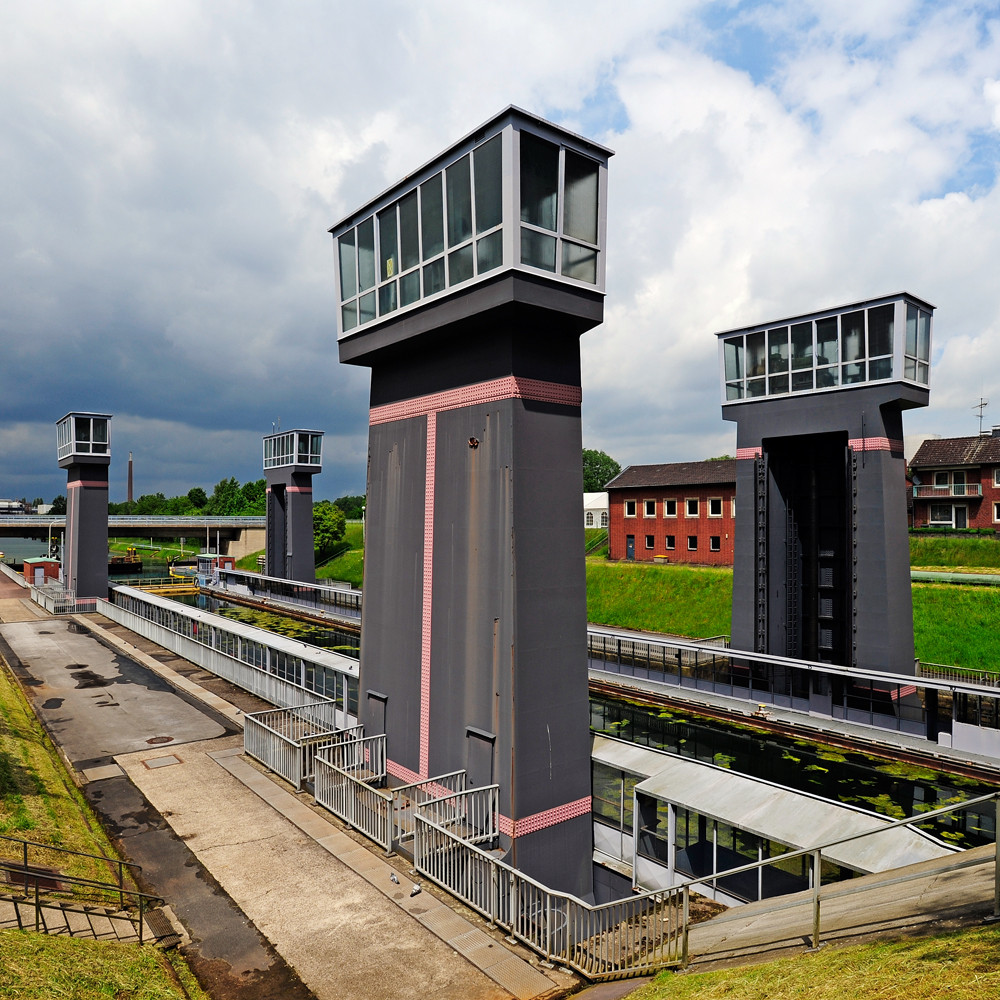
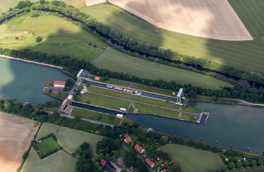
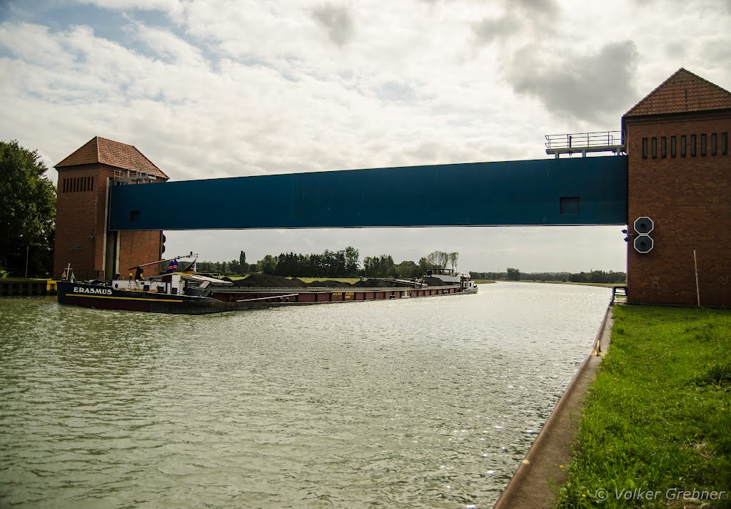
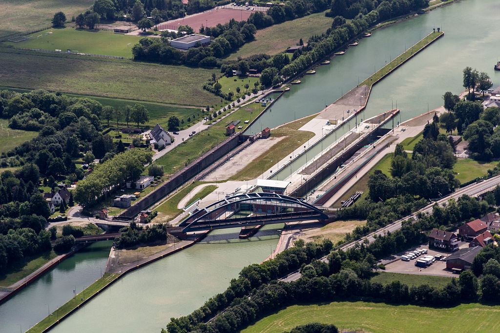
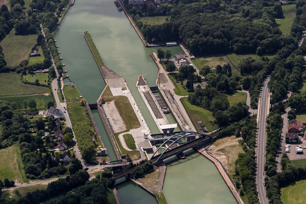
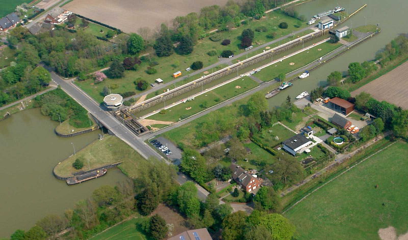
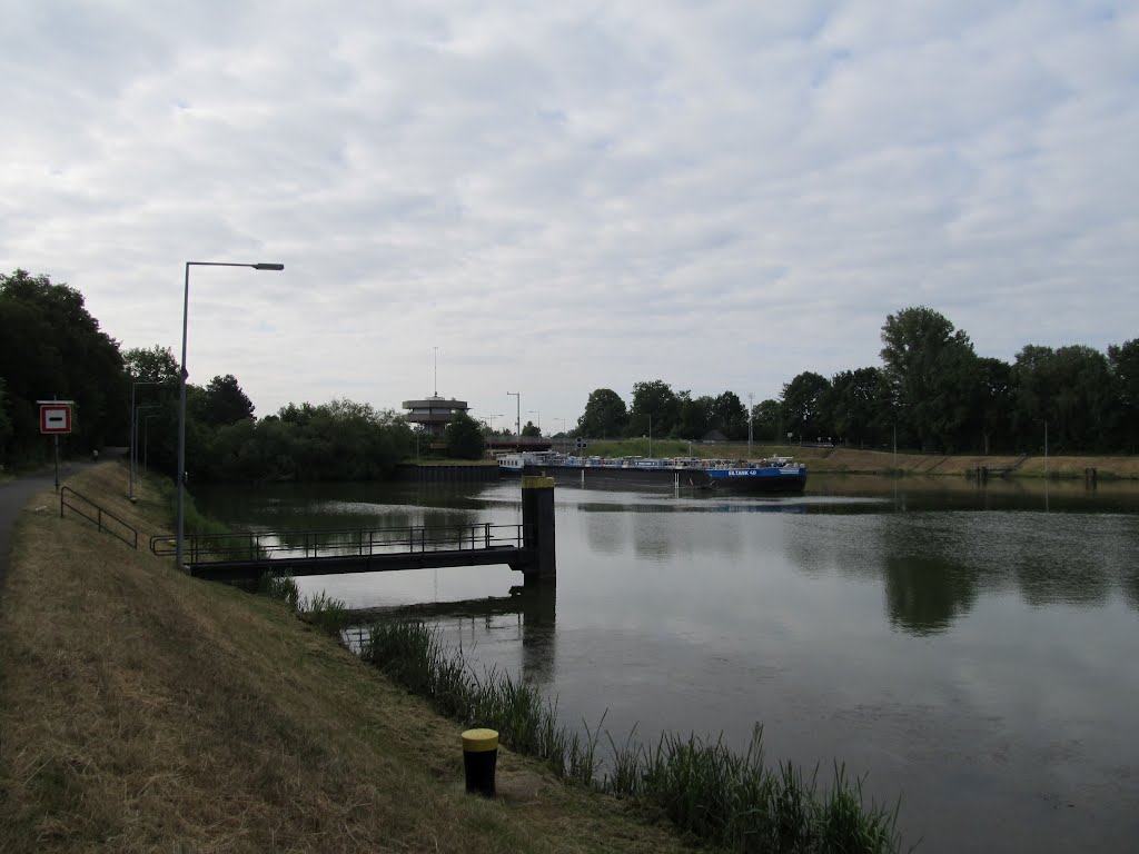
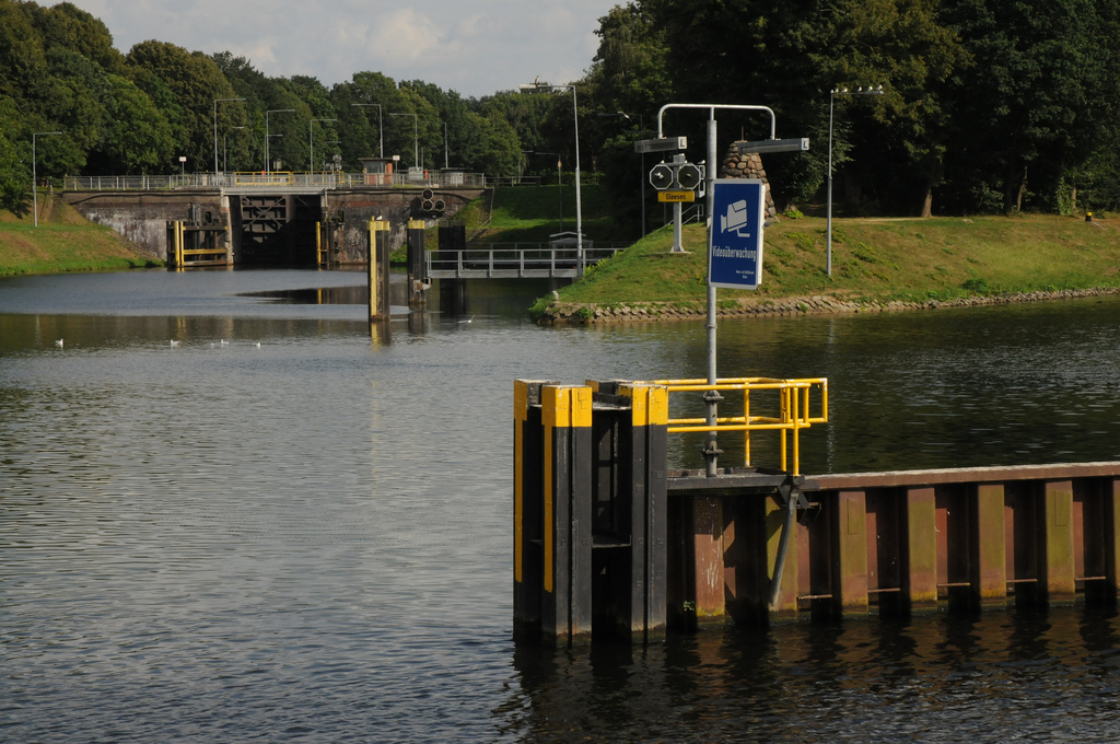
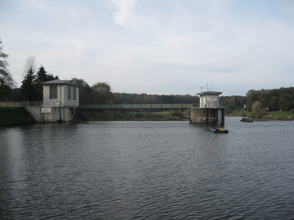
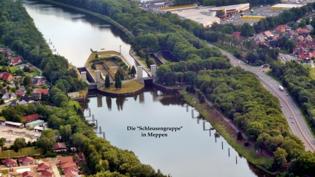
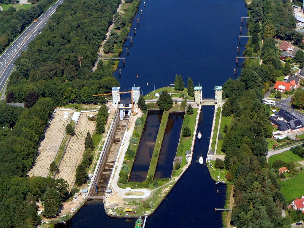
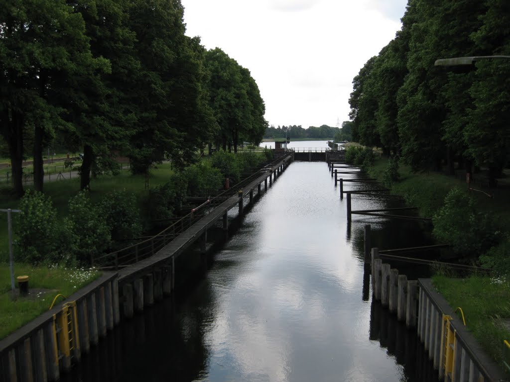
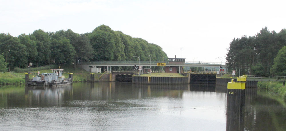
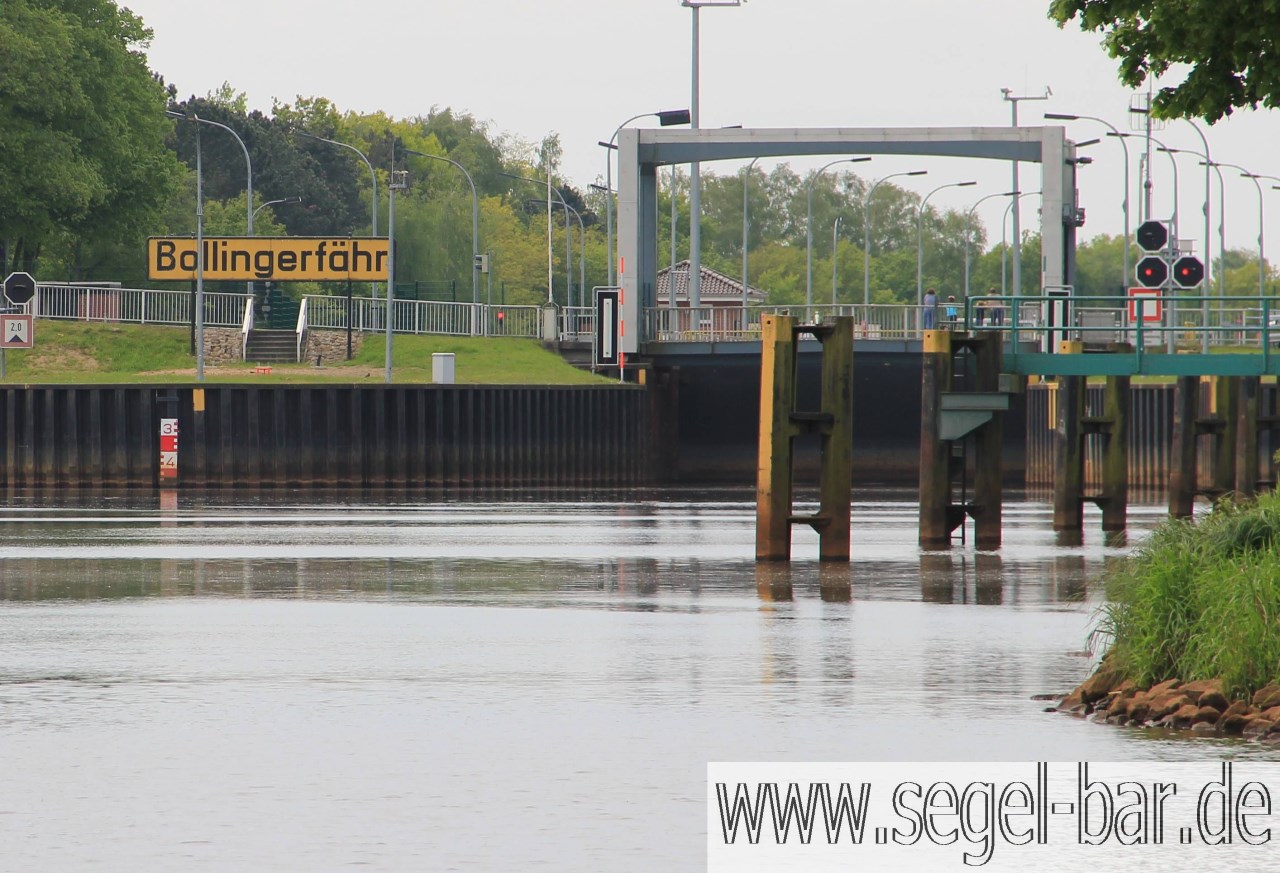
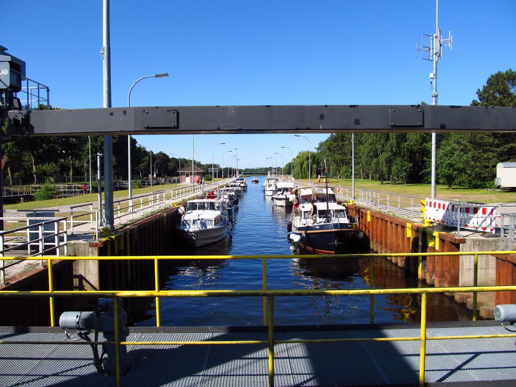
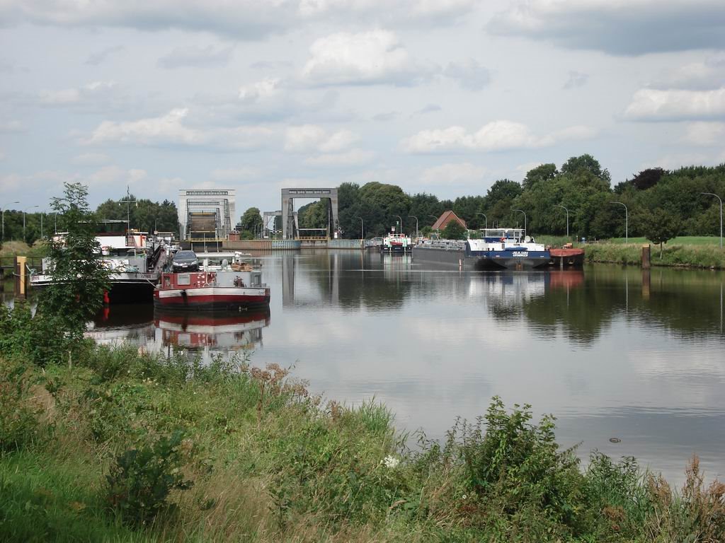
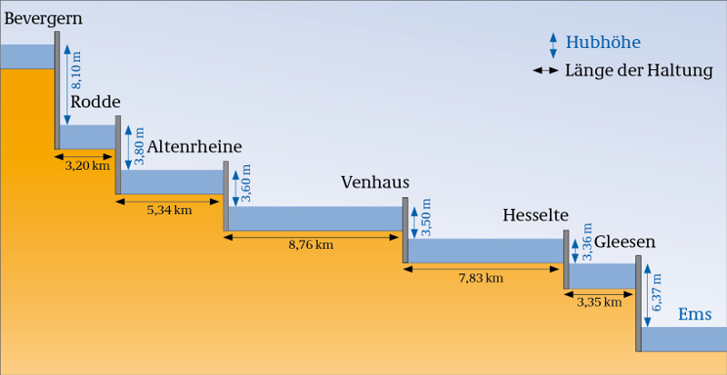
El DEK tiene 10 esclusas entre Henrichenburg, Münster y el descenso al EMS - al norte de la intersección del Mittellandkanal en Bergeshövede en Tecklenburg en el Km 108,4 en Bevergern, las siguientes esclusas: Rodde, Altenrheine, Venhaus, Hesselte, Gleese, Varloh y Meppen; 5 esclusas en el Ems: Hüntel, Hilter, Duthé, Bollingerfähr y Herbrum. También existe la presa Emswehr Hanekenfähr que se pone en funcionamiento cuando existe inundación. El descenso del nivel entre Herne - Münster es de 56,5 m. El nivel es alimentado por el agua del Lippe y bombeando hacia atrás el agua en Münster, en circunstancias excepcionales, además del agua del Rin en Wesel-Datteln Canal o con agua del río a través del Mittellandkanal (Münster - Anderten).
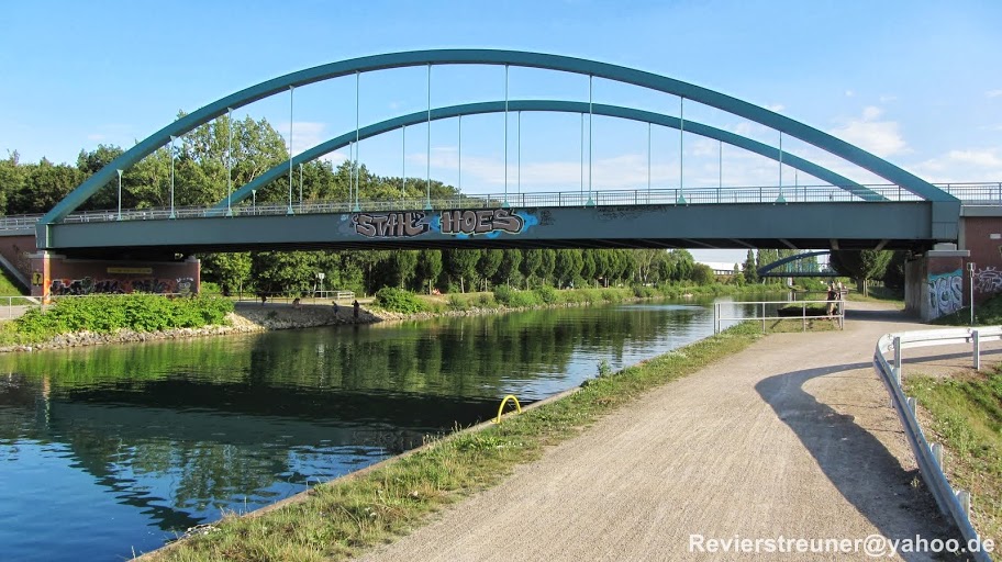
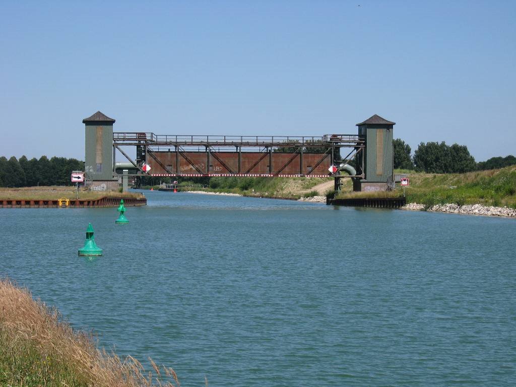
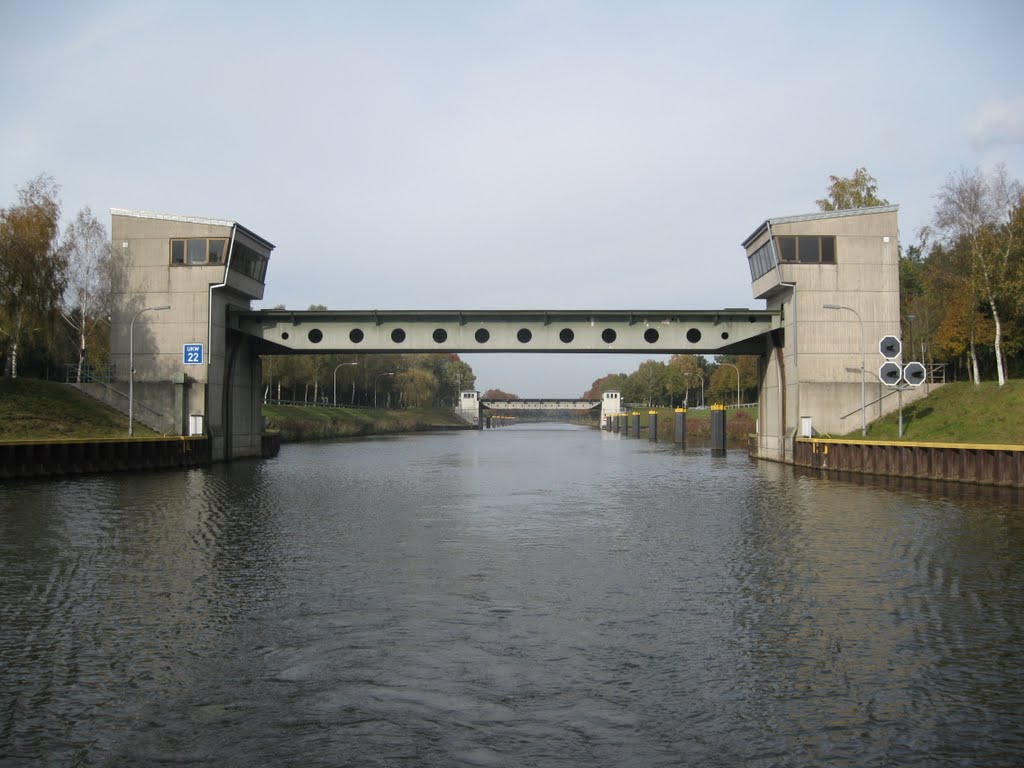
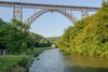
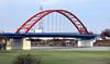
El DEK es atravesado por 160 puentes de carretera, ferrocarril y peatonales y 6 tubería / puentes de cable y 59 desagües y 139 tuberías y pasos inferiores. Para el caso de daño, el canal está equipado con 9 puertas de seguridad que permiten el cierre de la parte frontal o posterior de porciones de canal, por lo que se evita la descarga de agua.
https://de.wikipedia.org/wiki/Dortmund-Ems-Kanal
The Dortmund–Ems Canal is a 269-kilometre (167 mi) long canal in Germany between the inland port of the city of Dortmund (51°31′30″N 7°26′40″E) and the sea port of Emden. The artificial southern part of the canal ends after 215 kilometres (134 mi) at Herbrum lock near Meppen. The route then takes the river Ems for 45 kilometres (28 mi) to Oldersum lock. From there, the canal continues along a second artificial segment of 98 kilometres (61 mi). This latter section was built because inland ships at the time of the construction of the canal were not built for the open sea, which they would have faced at the Dollart and the entry to the sea port of Emden. It is connected to the Ems-Jade Canal from Emden to Wilhelmshaven.
https://en.wikipedia.org/wiki/Dortmund–Ems_Canal
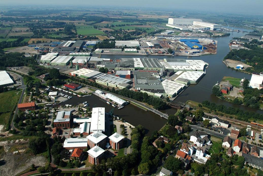
The Dortmund-Ems canal was the most important transport route between the North Sea and the industrial coal-mining and steel-producing area of the Ruhr Valley. Its subsidiary, the Mittelland canal, joins the Dortmund-Ems at Gravenhorst, north of Munster. These canals had been recognised from early on in the war as prime targets – making the canals unnavigable would deprive the Ruhr of vast quantities of materials which were vital to the country’s war effort.
Attacks early on in the war on the canals were with light/medium bombers such as Blenheims and Hampdens, indeed in August 1940 Flight Lieutenant Learoyd of 49 Squadron won Bomber Command’s first VC for pressing home his attack in the face of accurate and withering fire from anti-aircraft guns, for the canals were heavily defended from those earliest days.
However September 1944 saw the start of a new series of effective attacks on the canals, they proved to have an enormous effect on the supply of raw materials to the factories of the Ruhr. The canals were still heavily defended by flak guns, however at this later stage of the war the main threat was posed by nightfighters employing the tactics and radar equipment that had been steadily developing, especially as the Luftwaffe airfields in France, Belgium and the Netherlands caused the Nachtjagd to be withdrawn back into the Homeland. NJG4 was based at Gutersloh and NJG1 to Dortmund, both airfields within easy flying vicinity of the vulnerable aqueduct near Ladbergen.
This wartime advertisement by Avro illustrates an attack by Lancasters on the canal and mentions "especially vicious defences" and the canal being "vital to German communications".
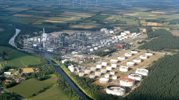
As its name implies, the canal not only linked the North Sea port of Emden with the Dortmund-Ruhr area but also, through a junction with the Mittelland canal near Gravenhorst, carried all the inland water-borne traffic between the Ruhr and central and eastern Germany. This traffic, which amounted to some thirty million tons a year, consisted largely of coal and coke moving from the Ruhr, and raw materials such as iron ore, being carried to its furnaces and factories.
http://www.galgos.co.uk/50201.html
http://www.wsa-rheine.de/wasserstrassenbereich/dek/index.html
http://www.panoramio.com/user/6486321?comment_page=1&photo_page=4
http://www.panoramio.com/photo/63154323
Vídeo:
Web recomendada: http://www.wsa-rheine.de/wasserstrassenbereich/dek/index.html
Contador: 7449
Inserción: 2015-07-22 17:57:23
Lugares a visitar en un radio de 100 km (en línea recta)


Mapa de los lugares a 100 km (en línea recta)
Mostrando Registros desde el 1 hasta el 0 de un total de 0
Visitas RSS |
Más visitados Basílica de San Marcos  155552 Catedral de Notre Dame (París)  144987 Torre de Pisa  132156 Monte Saint-Michel  101263 Presa de las Tres Gargantas  82235 |
Incorporaciones |
Comentarios hazola  Cúpula de la Roca gracias me... gera  Buenos Aires las mejores fotos de la mejor ciudad del... Daniel M. - BRASIL  San Francisco ... PEQUE  Presa Chicoasén SERA QUE ALGUIEN ME PUEDE DAR MAS INFORMACIÓN DE ESTE PROYECTO ESTUDIO EN LA UNACH Y ES PARA UN... Mery  Huaca Pucllana Muy interesante, muy buena la información y... |


