
Nombre:
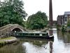
Canal de Bridgewater
Otro:
Localización:
Récord: 66 km
Tipo: Canales
Categoría:
Foto:
Voto:
Continente: Europa
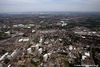
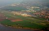
País: Reino Unido
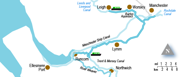
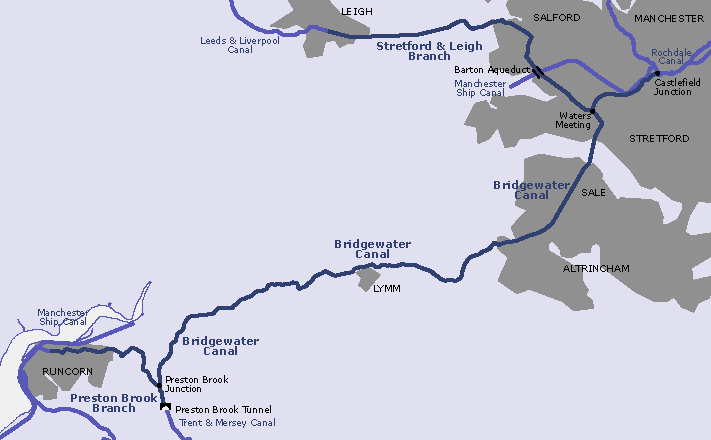
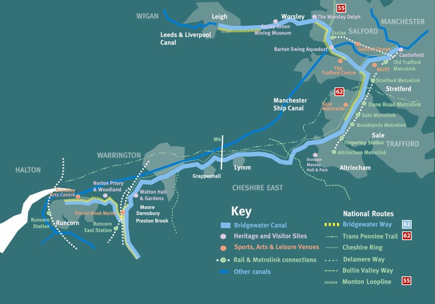
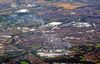
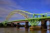
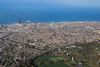
Localización: Conecta Runcorn, Manchester y Leigh
Año: 1761
Estado: Terminado
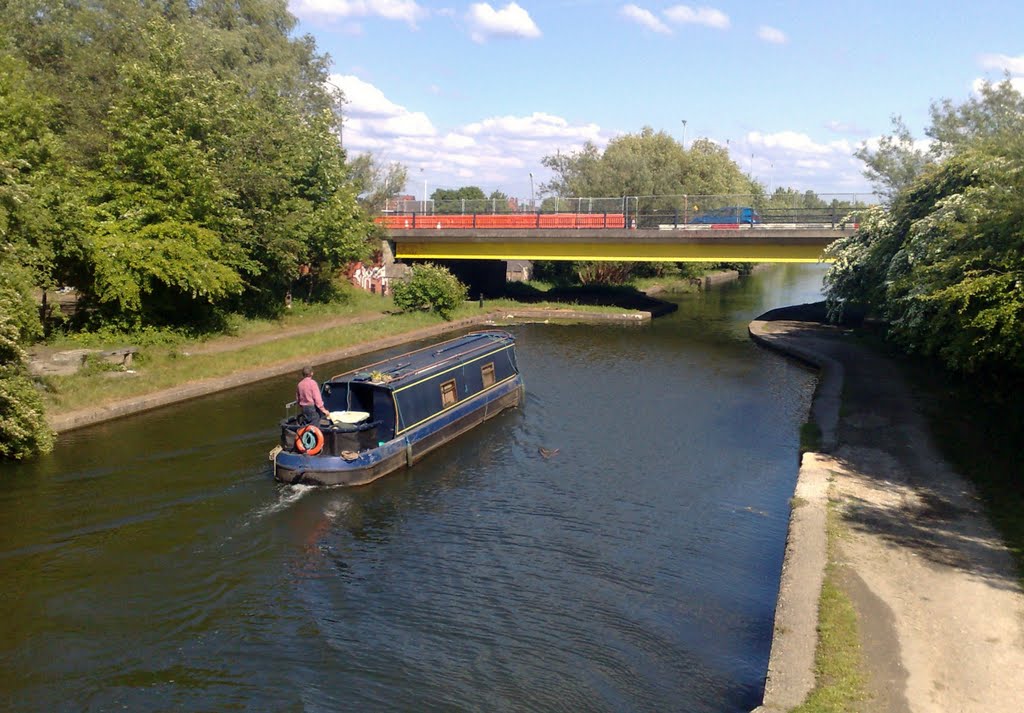
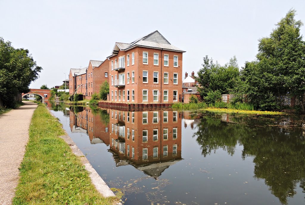
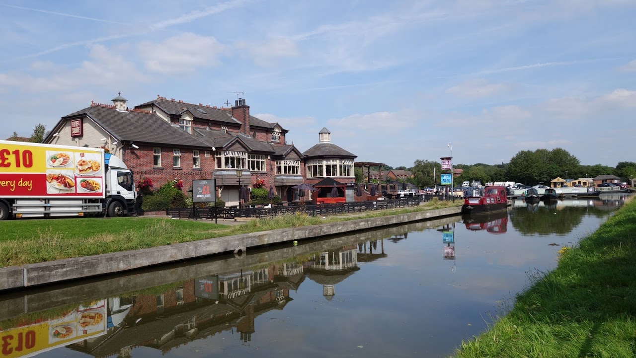
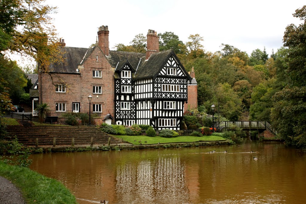
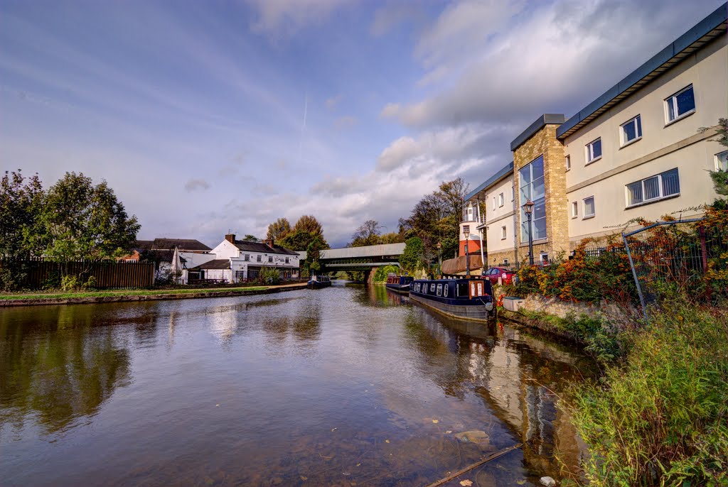
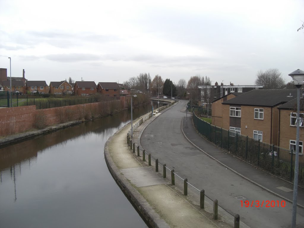
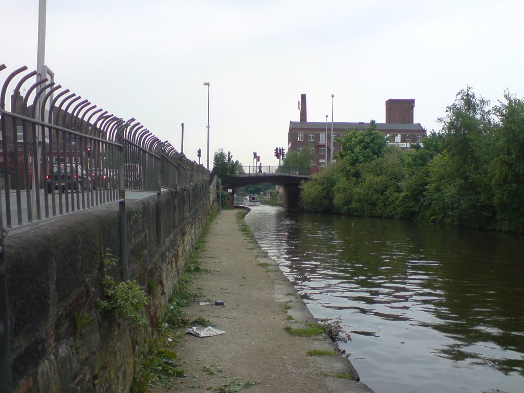
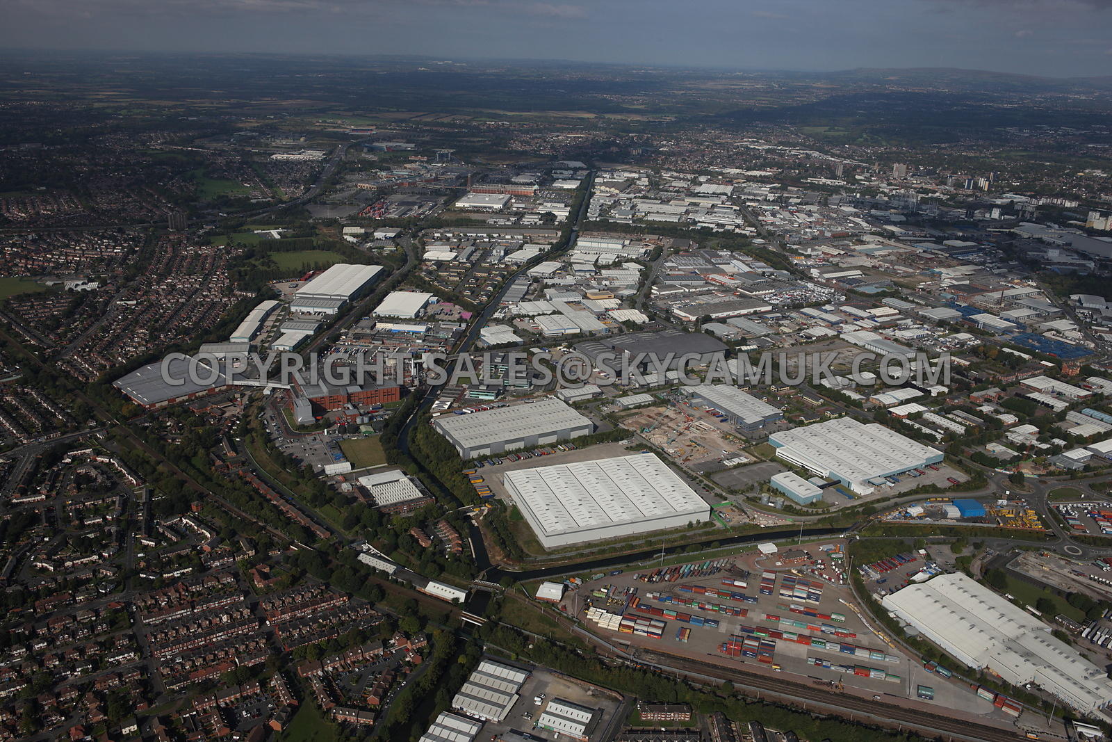
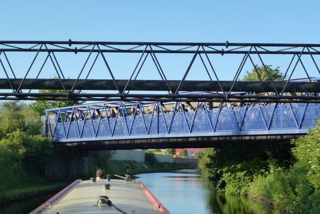
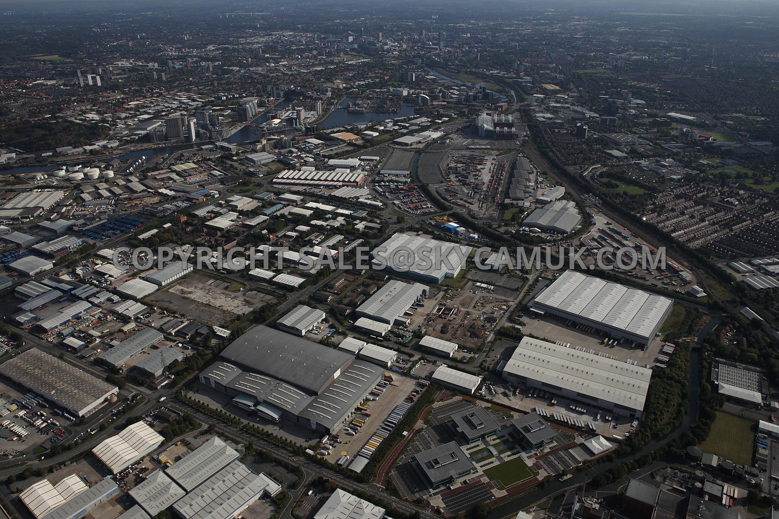
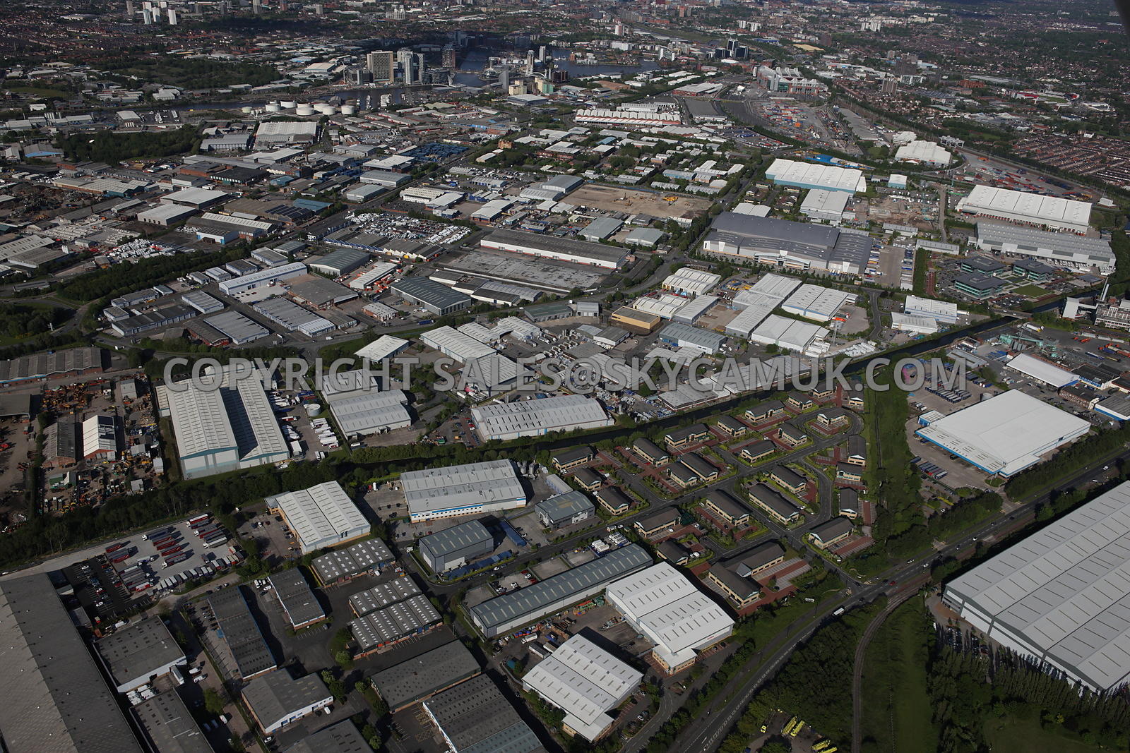
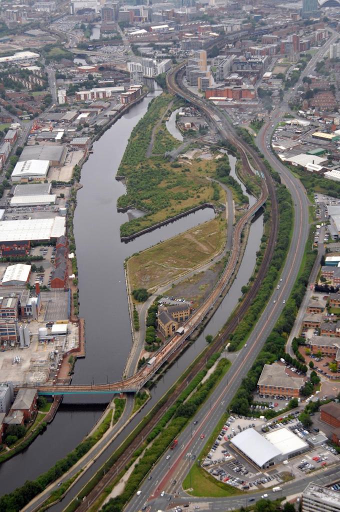
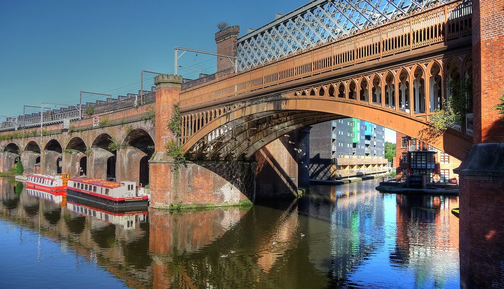
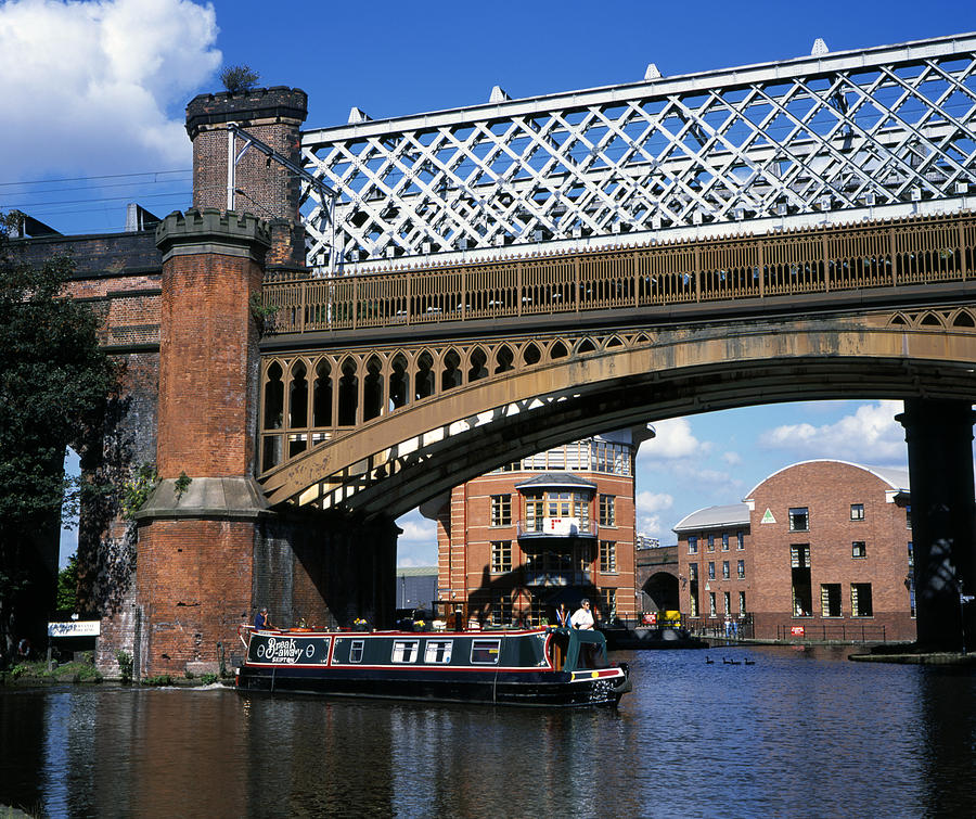
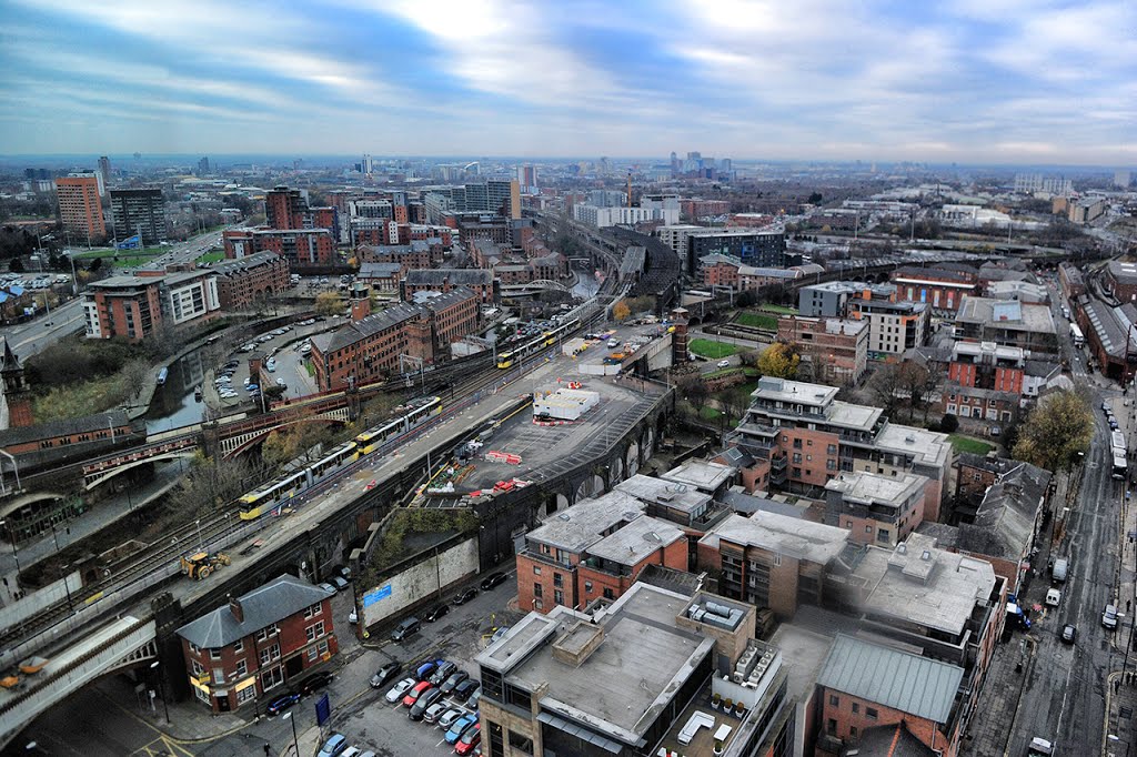
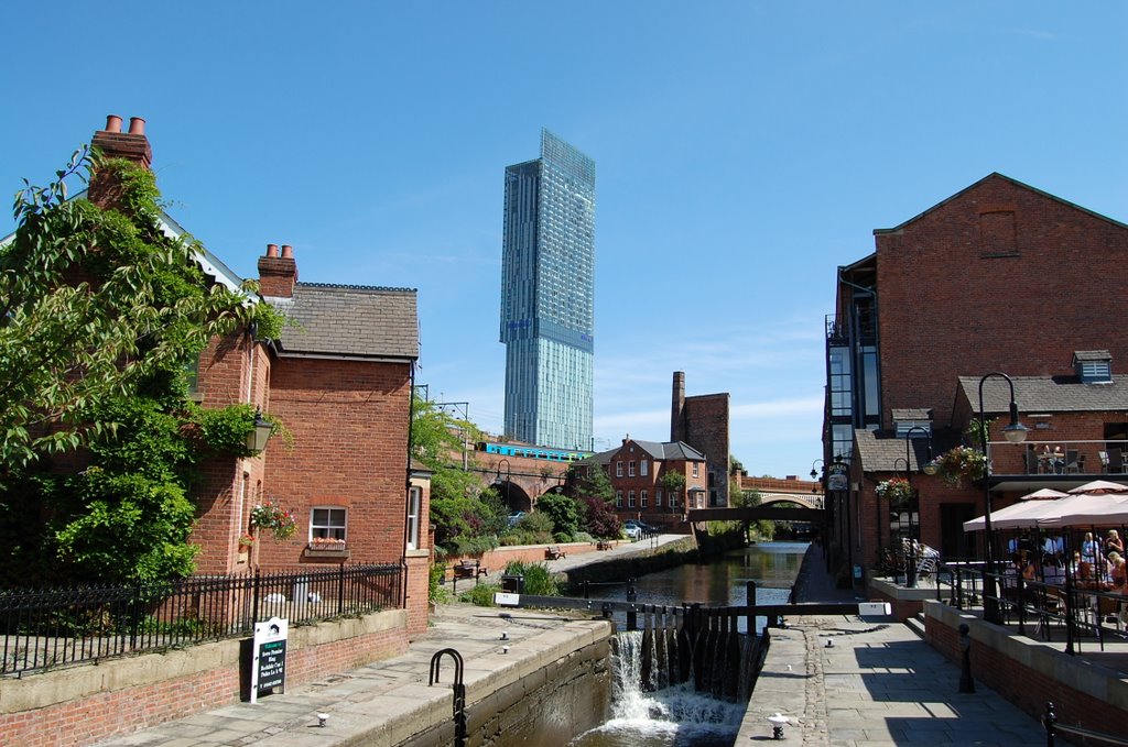
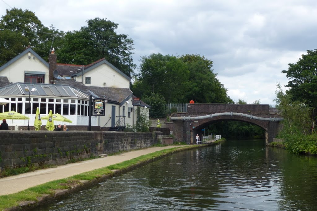
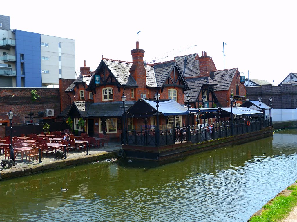
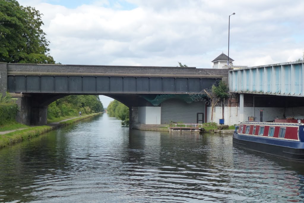
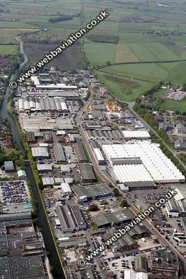
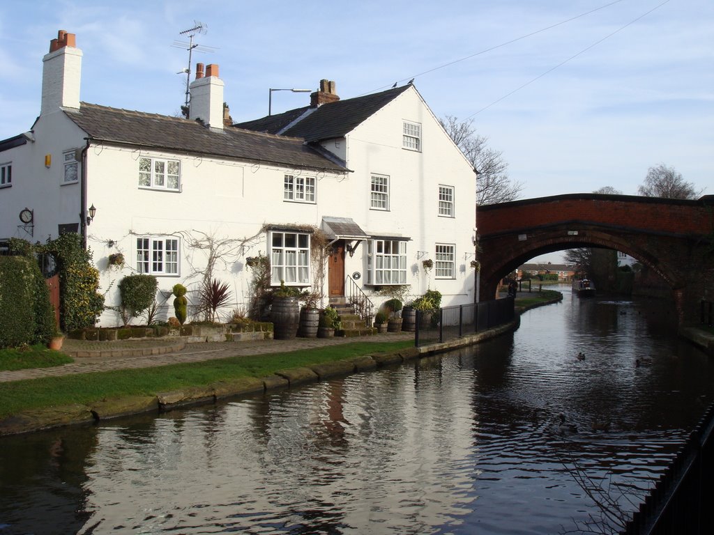
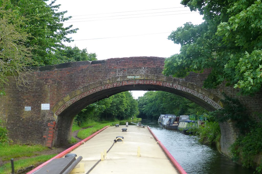
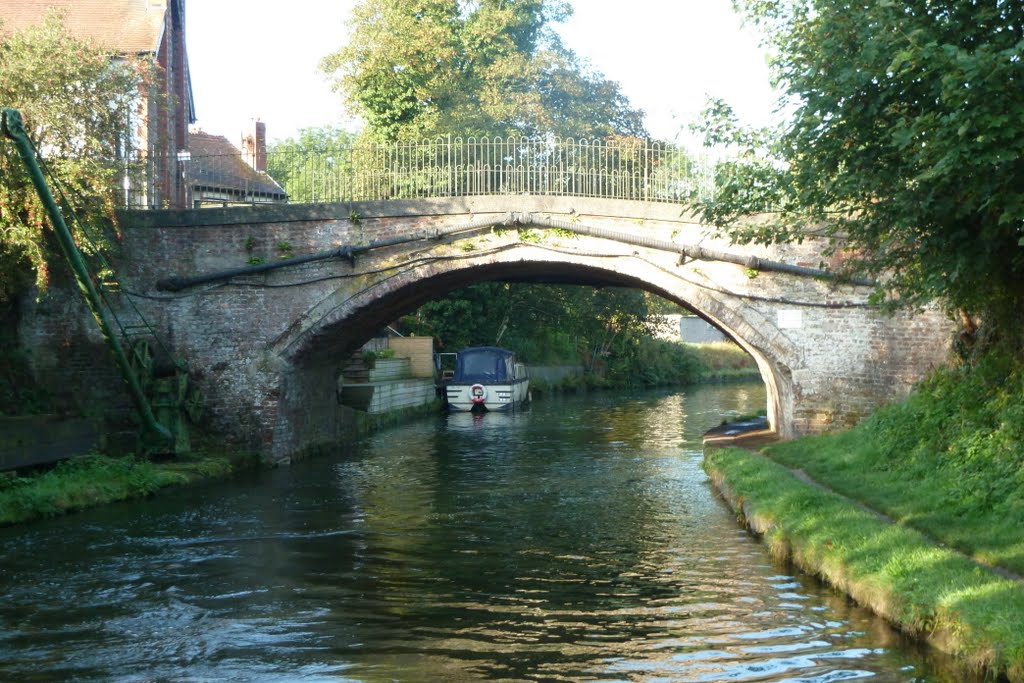
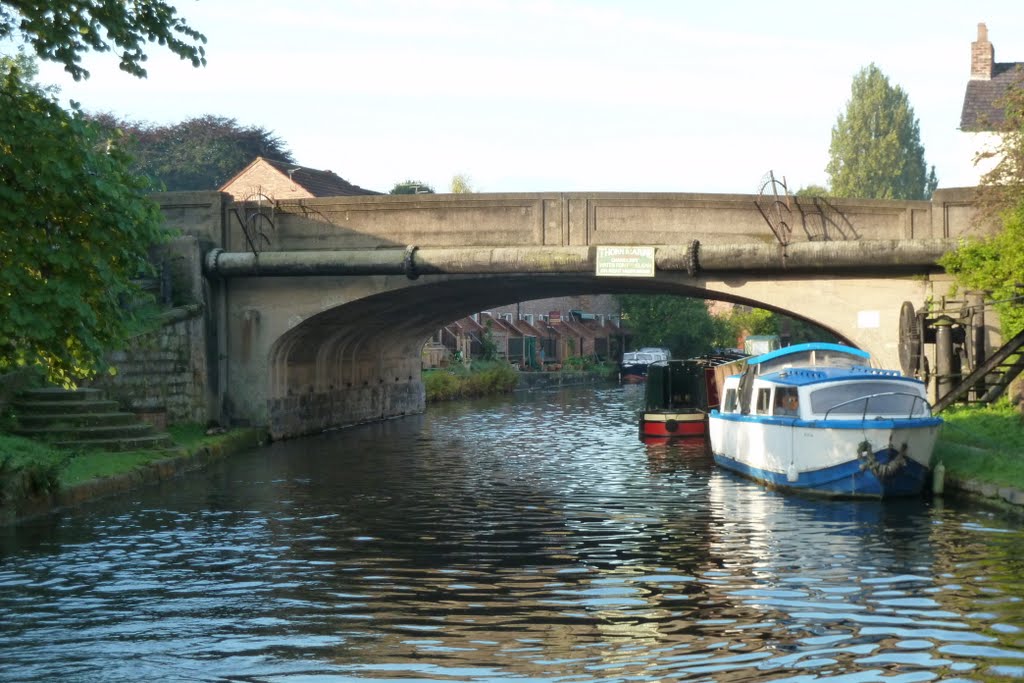
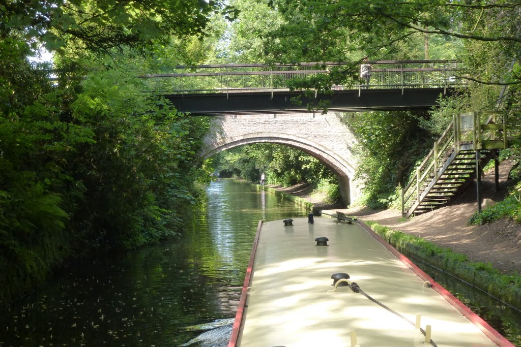
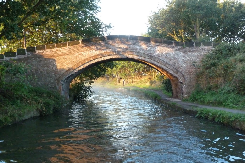
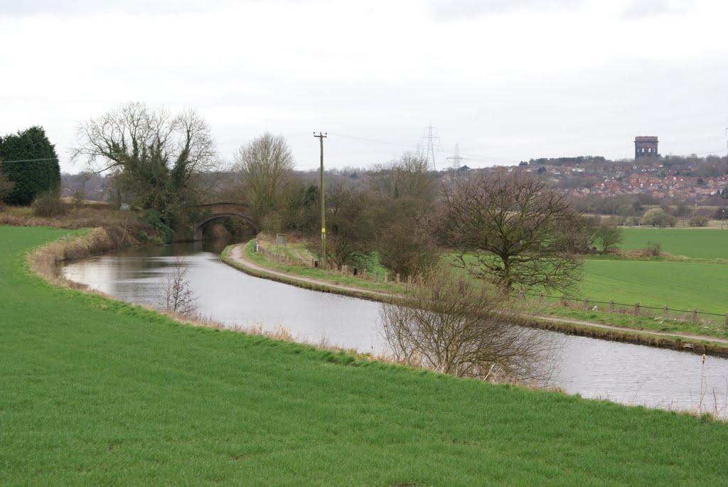
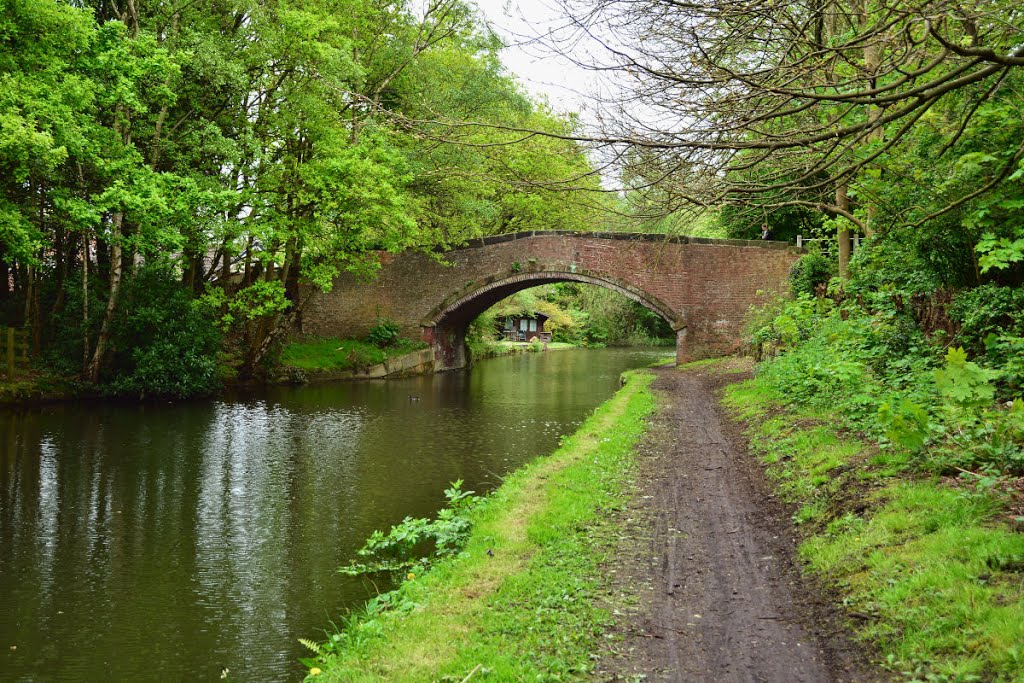
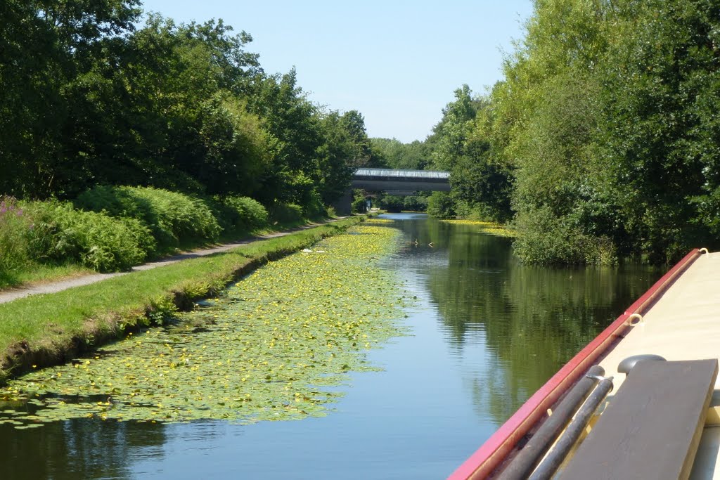
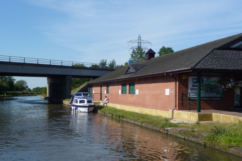
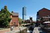
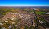
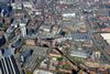
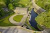
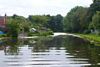
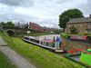
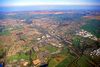
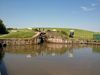
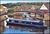
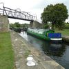
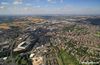
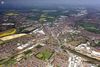
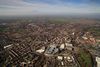
Descripción:El canal de Bridgewater en un canal de navegación que conecta Runcorn, Manchester y Leigh, en el noroeste de Inglaterra. Fue encargado por Francis Egerton, tercer duque de Bridgewater, para el transporte de carbón de sus minas en Worsley a Manchester, al ingeniero James Brindley. El trayecto de Worsley a Manchester fue inaugurado en 1761, y más tarde se extendió desde Manchester a Runcorn, y luego de Worsley a Leigh.
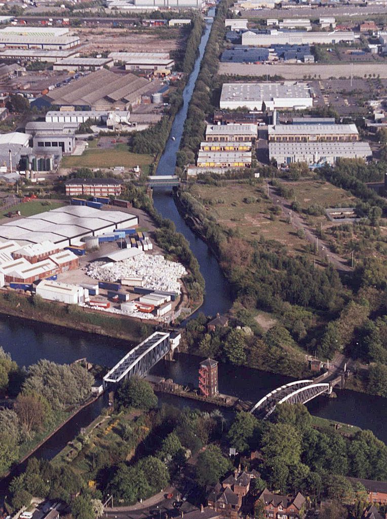
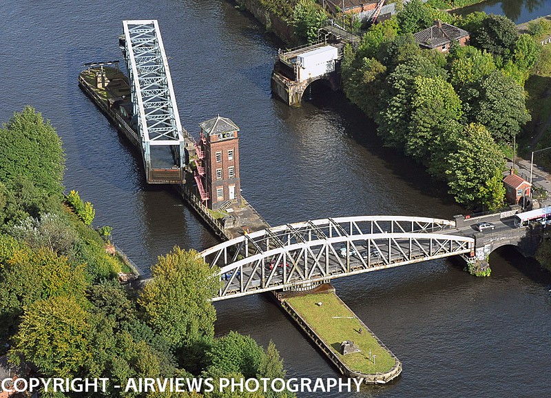
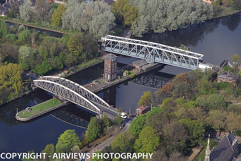
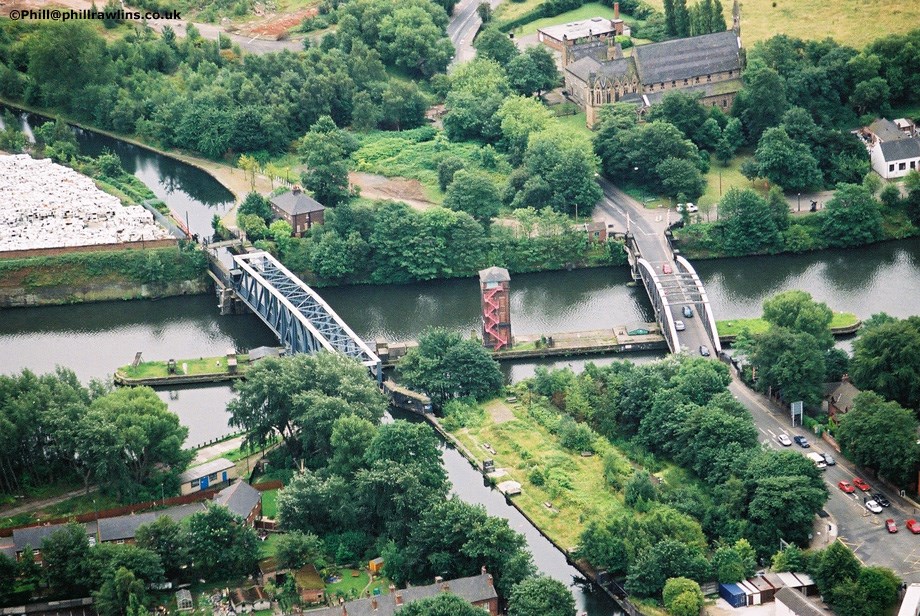
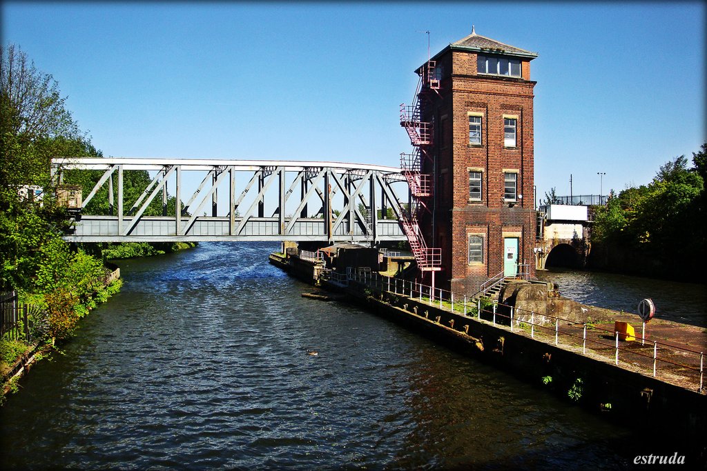
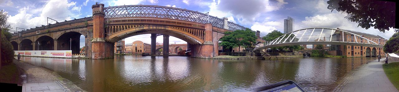
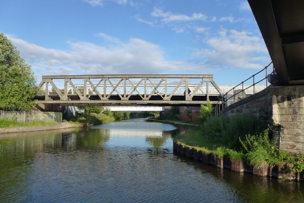
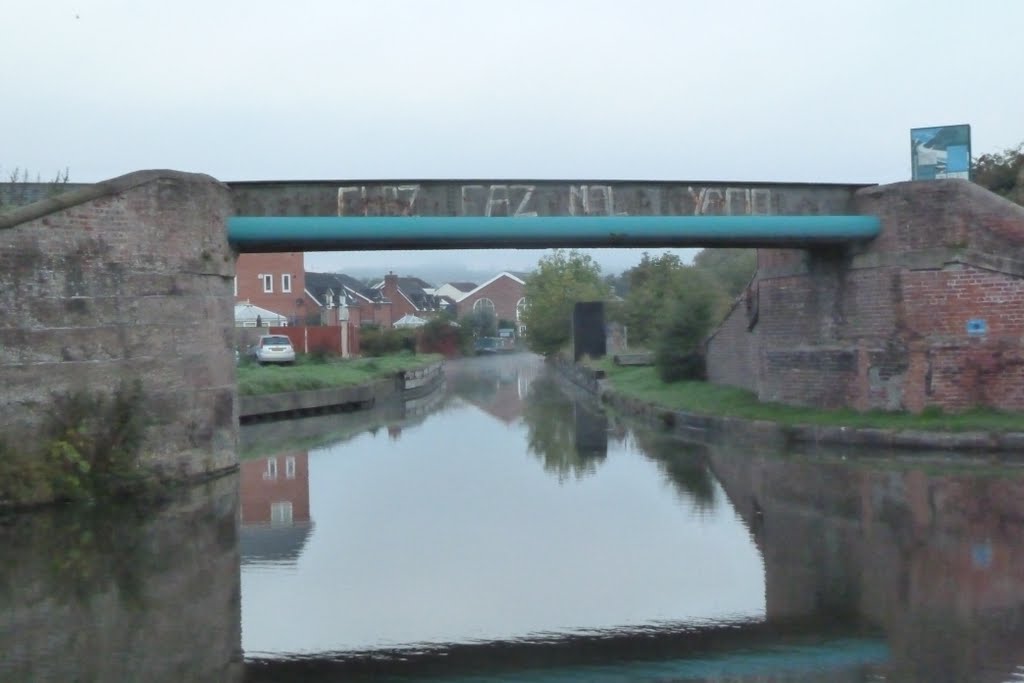
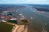
El canal está conectado con el canal naval de Mánchester a través de una esclusa en Cornbrook, con el canal de Rochdale, en Mánchester, con el canal de Trent y Mersey en Preston Brook, al sureste de Runcorn, y con el canal de Leeds y Liverpool en Leigh. En el pasado conectaba con el río Mersey en Runcorn, pero esa conexión fue cortada por una vía de acceso al puente de las bodas de plata.
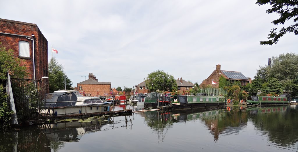
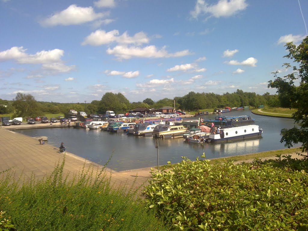
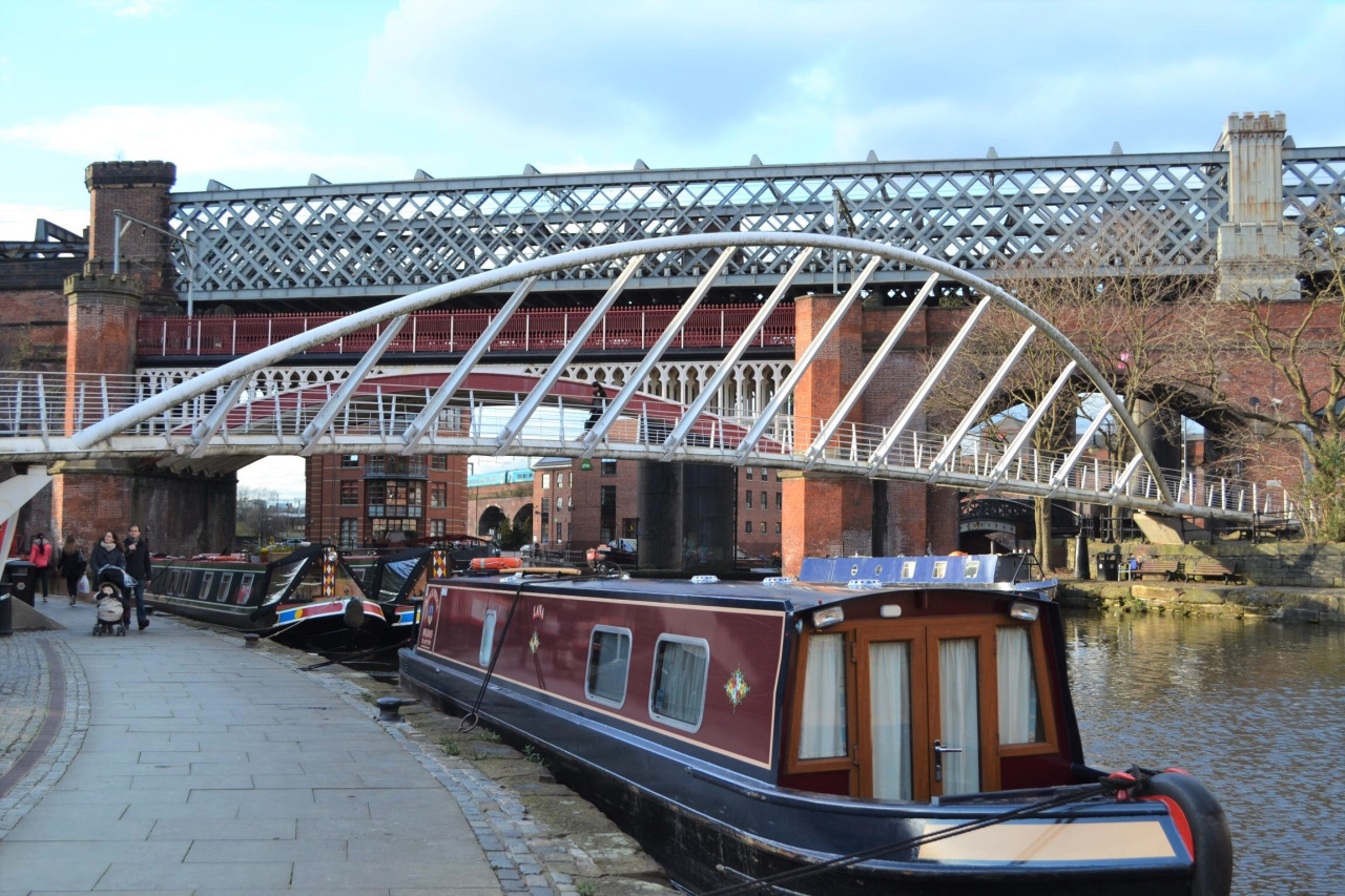
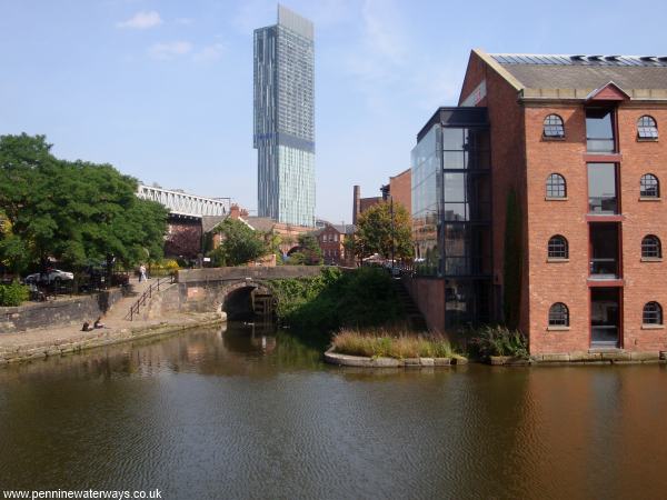
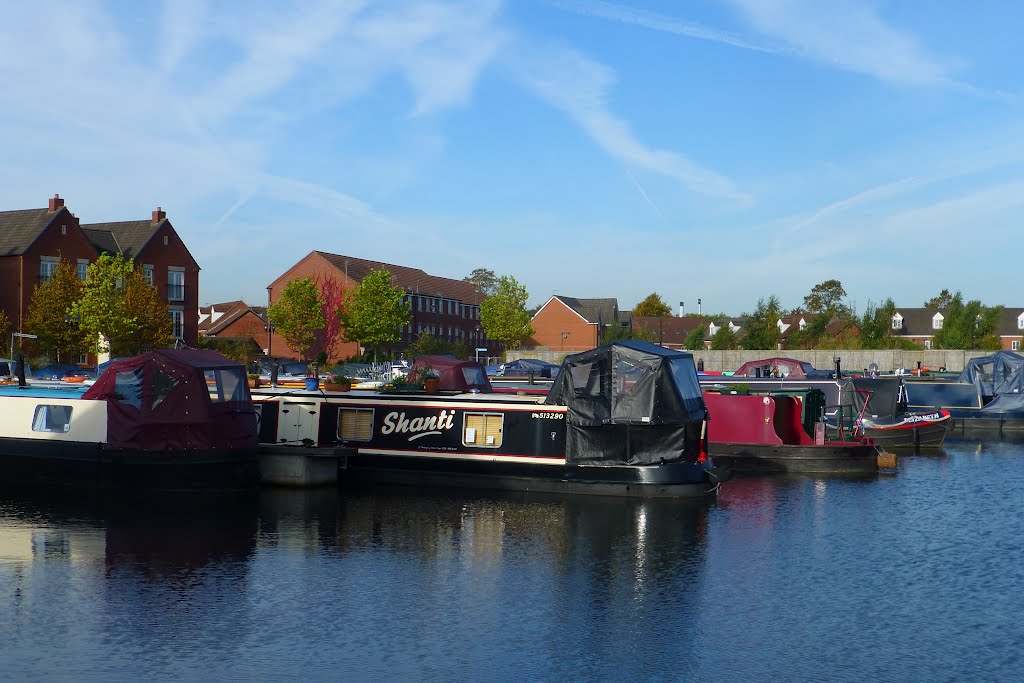
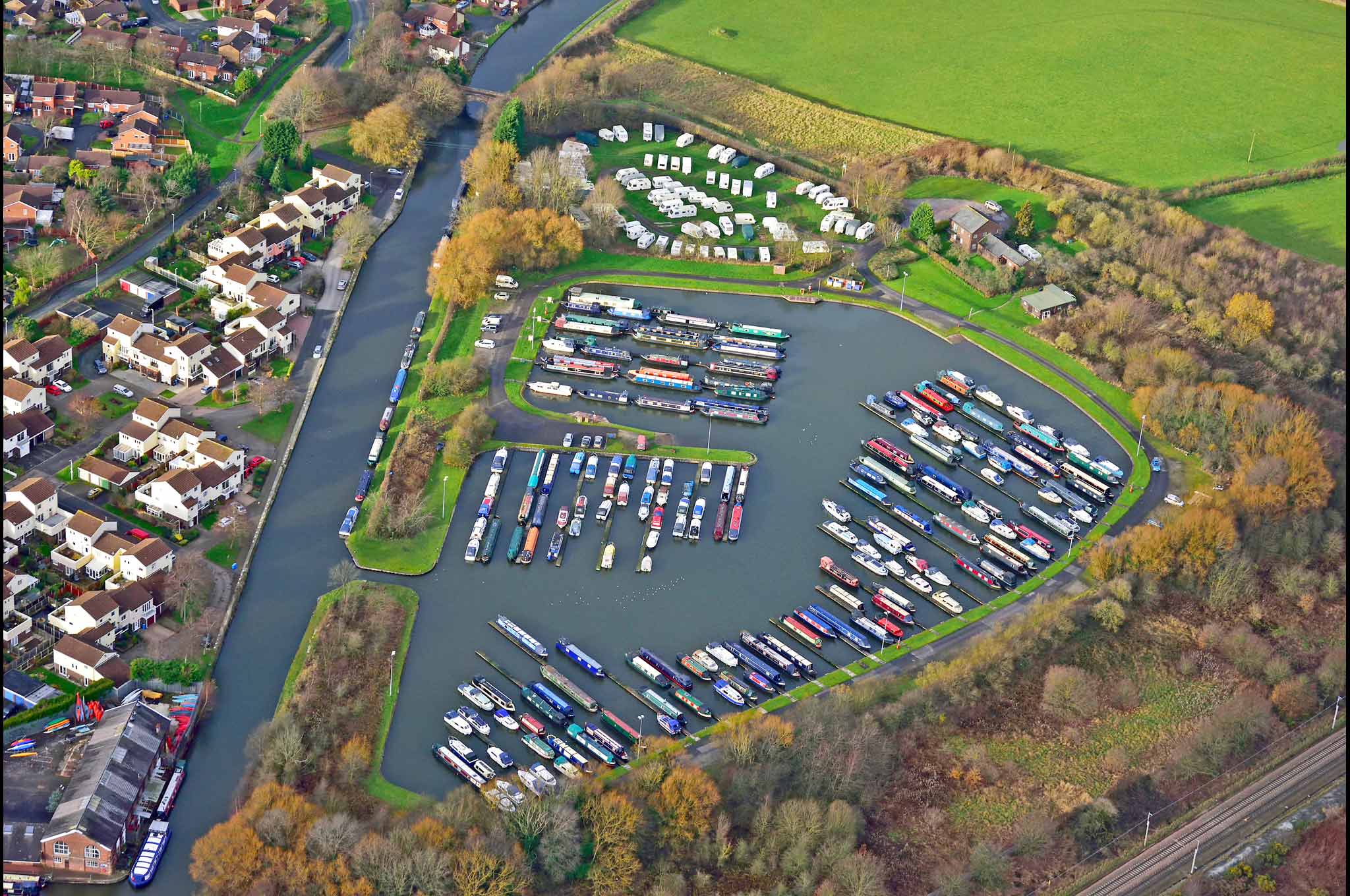
A menudo considerado como el primer canal verdadero de Inglaterra, requirió la construcción de un acueducto de piedra para cruzar el río Irwell, uno de los primeros de su clase. Su éxito fomentó un período de intensa construcción de canales, conocida como la manía del canal. Más tarde sufrió una intensa competencia por parte del ferrocarril Liverpool-Manchester y del canal de Macclesfield. Navegable en toda su historia, es uno de los pocos canales de Gran Bretaña que no han sido nacionalizados y sigue siendo de propiedad privada.1 En la actualidad, las embarcaciones de recreo utilizan el canal, que forma parte de la red de canales llamada Cheshire Ring.
https://es.wikipedia.org/wiki/Canal_de_Bridgewater

History of the Bridgewater Canal
The Bridgewater Canal is sometimes described as England's first canal. The truth of this claim, however, is open to much debate. The first artificial navigable waterways in Britain were constructed by the Romans, including the Foss Dyke. Over the centuries, a number of river navigations had been created by constructing weirs and locks. An early example is the Exeter Ship Canal, which had Britain's first pound lock, constructed in 1566. The Mersey and Irwell Navigation opened in 1740, allowing boats to navigate from Liverpool to Manchester.
An important landmark was reached in 1755 when it was decided to create a river navigation for the Sankey Brook, near Warrington, to carry coal from St Helens down to the River Mersey and to Liverpool. The original proposal here was make the Sankey Brook navigable by creating lock cuts. However, much of the waterway was built as an artificial cut parallel to the river and only using the river in places. This arguably made it the first canal of the industrial period and it later became known as the St Helens Canal.
While the Sankey was under construction, a few miles to the east, Francis Egerton, the Duke of Bridgewater, was looking for ways to transport coal from his mines at Worsley into Manchester. His father had looked at the idea of making the Worsley Brook navigable to connect with the Mersey and Irwell Navigation but nothing was done. The Duke had been to see the Canal du Midi, built in France in 1681, and saw how the Sankey Canal was being built, nearer to home. This gave him the idea to create a waterway that was independent from a river route. In 1758 the Duke called in James Brindley to look at ways of constructing a canal and of improving the drainage of the mines. The Duke decided to combine the two aims by linking the mines to the canal by an underground canal.
http://www.penninewaterways.co.uk/bridgewater/bri2.htm
The Bridgewater Canal
By Ben Johnson
Arguably the first truly man made canal, the Bridgewater Canal was the first canal in Britain which did not follow the path of an existing river or tributary when it opened on 17th July 1761. More notably perhaps, the canal’s impact on the price of coal sparked a raft of imitators in a period of frenetic canal building between the 1790s and 1810s which would become known as ‘canal mania’.
Named after Francis Egerton, 3rd Duke of Bridgewater (21 May 1736 – 8 March 1803), the canal was the Duke’s solution to the transportation issues he faced when moving coal from his mines at the Worsley Collieries to Manchester to power the steam engines responsible for Britain’s Industrial Revolution.
In the mid-eighteenth century, the only options for transporting coal in the North West region of Lancashire were via the Mersey and Irwell Navigation or by packhorse. Neither option was particularly efficient or cost effective. There was only so much coal a packhorse could successfully transport and the navigation only allowed passage to small vessels, and even then this was only possible during a drought, at low tide and with easterly winds strong enough to support the passage of a fully loaded ship.
Having travelled throughout Europe during his youth, the duke had been impressed by the continental canal systems such as the Canal du Midi in Southern France, running between Toulouse and the port town of Sète. Following the construction of the nearby Sankey Canal in 1757 - a river navigation which followed the course of the River Mersey along the Sankey Brook – The Duke and his land agent and engineer, John Gilbert, drew up plans for an underground canal at Worsley which would link to a surface canal between Worsley and Salford.
http://www.historic-uk.com/HistoryMagazine/DestinationsUK/The-Bridgewater-Canal/
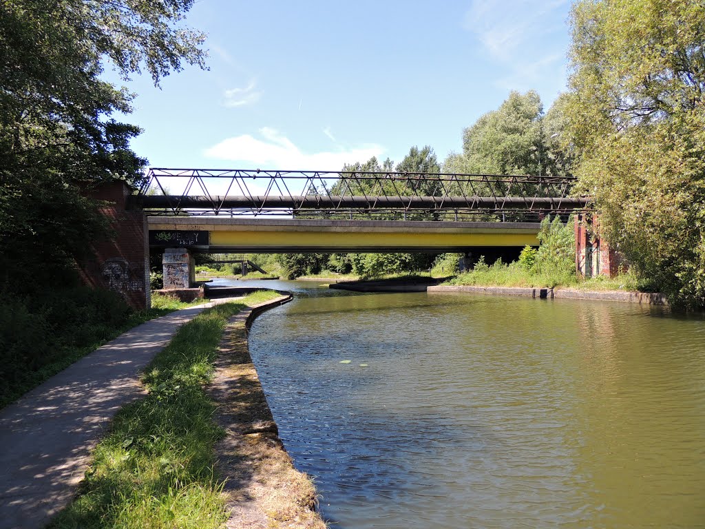
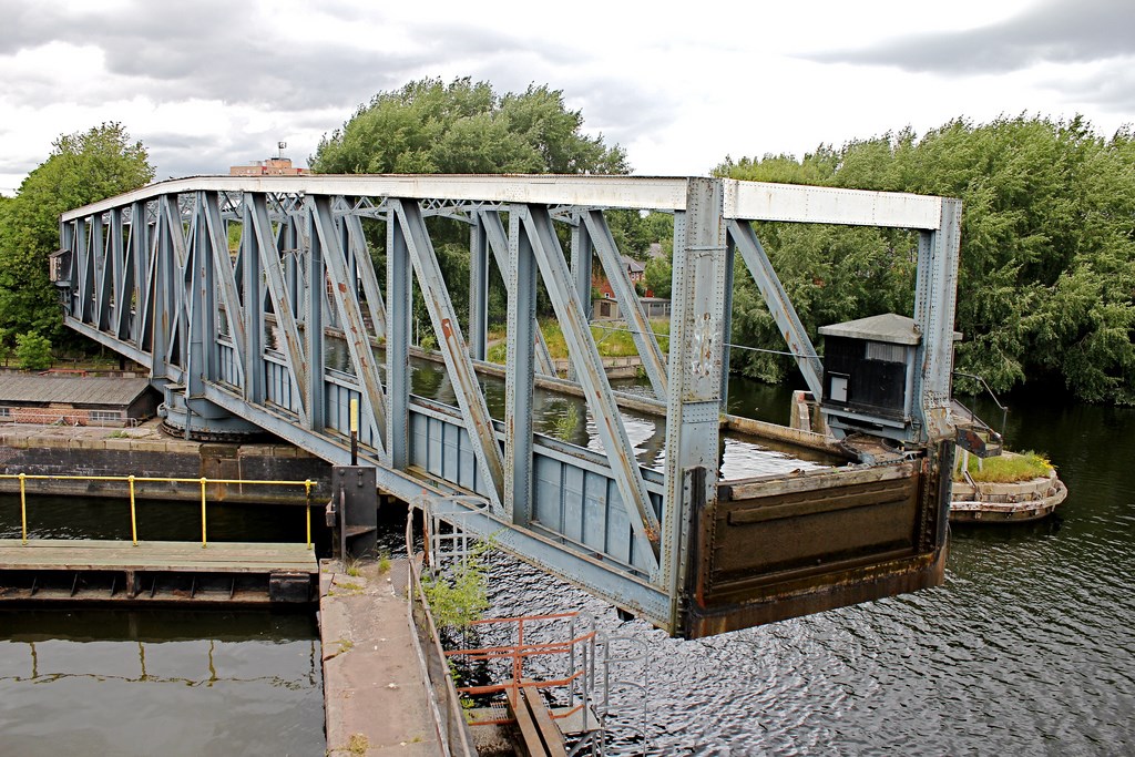
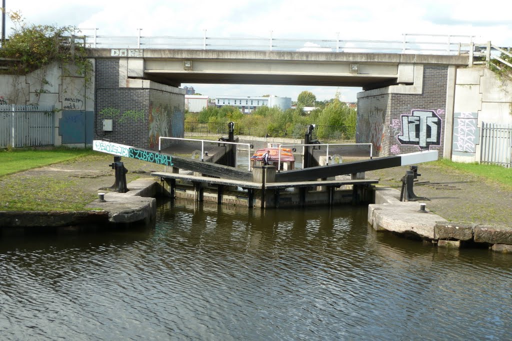
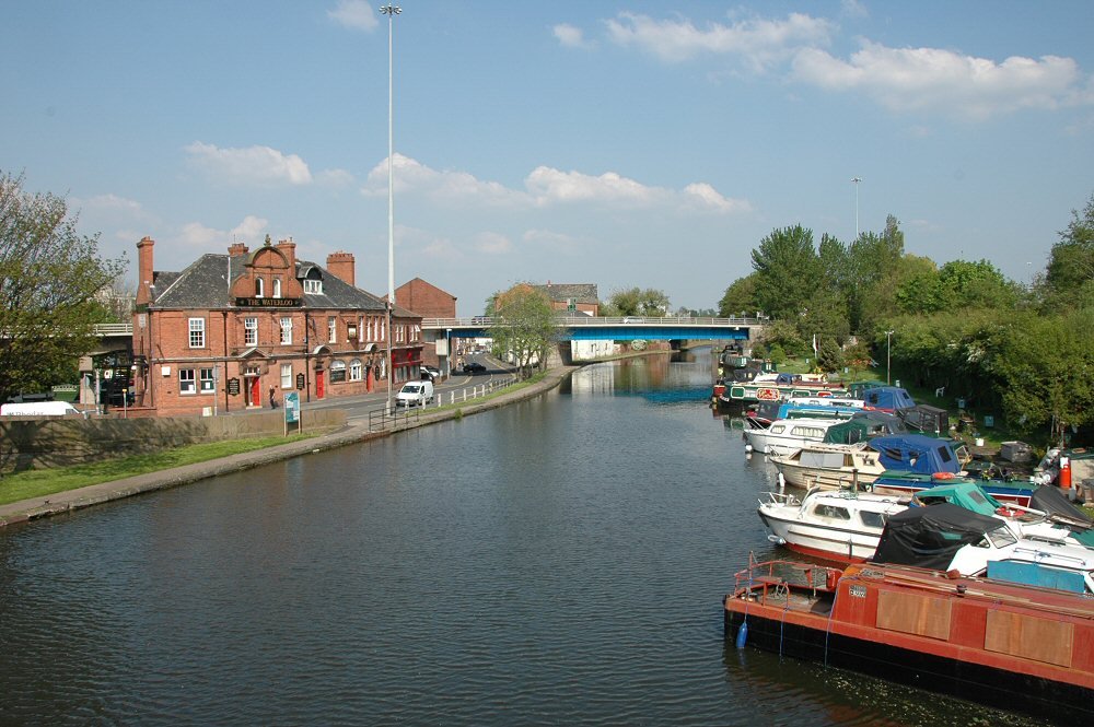
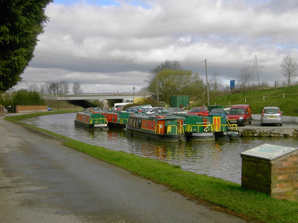
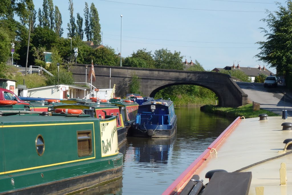
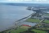
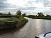
The Bridgewater Canal, runs from Castlefield Junction with the Rochdale Canal, in Manchester, to its terminus in Runcorn. The main line is 28.1 miles (45.2 km) long and has no locks. There are two arms:
The Leigh Arm runs from Waters Meeting in Stretford to the Leigh Arm of the Leeds & Liverpool Canal in Leigh. This Arm is 10.8 miles (17.4 km) long and has no locks.
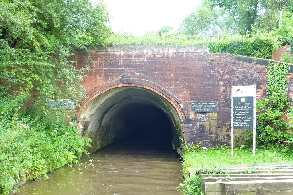
The Preston Brook Branch is just 0.8 miles (1.3 km) long, has no locks and connects to Trent & Mersey Canal.
There is also a short spur link to the Manchester Ship Canal via Pomona Lock, 1.2 miles from Castlefield Junction.
The maximum size of boat that can navigate throughout the Bridgewater Canal is
length: There are no locks to limit length
beam: 14' 9" (4.5 metres)
height: 8' 6" (2.6 metres) - Leigh Branch. Height on the main line: 11' (3.4 metres)
draught: 5' (1.5 metres)
https://www.waterways.org.uk/waterways/canals_rivers/bridgewater_canal/bridgewater_canal
http://moore2life.co.uk/canals/brwater/brwater1.htm
Vídeo:
Web recomendada: http://www.bridgewatercanal.co.uk/
Contador: 10964
Inserción: 2016-08-17 18:13:04
Lugares a visitar en un radio de 100 km (en línea recta)


Mapa de los lugares a 100 km (en línea recta)
Mostrando Registros desde el 1 hasta el 0 de un total de 0
Visitas RSS |
Más visitados Basílica de San Marcos  155540 Catedral de Notre Dame (París)  144957 Torre de Pisa  132149 Monte Saint-Michel  101253 Presa de las Tres Gargantas  82227 |
Incorporaciones |
Comentarios hazola  Cúpula de la Roca gracias me... gera  Buenos Aires las mejores fotos de la mejor ciudad del... Daniel M. - BRASIL  San Francisco ... PEQUE  Presa Chicoasén SERA QUE ALGUIEN ME PUEDE DAR MAS INFORMACIÓN DE ESTE PROYECTO ESTUDIO EN LA UNACH Y ES PARA UN... Mery  Huaca Pucllana Muy interesante, muy buena la información y... |


