
Nombre:
Vía navegable de Sheffield y Yorkshire del Sur
Otro:
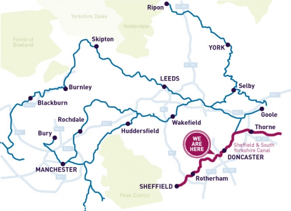
Localización:
Récord: 69 km
Tipo: Canales
Categoría:
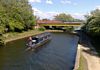
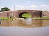
Foto:
Voto:
Continente: Europa
País: Reino Unido
Localización: Conecta Sheffield con el río Trent en Keadby
Año: 1895
Estado: Terminado
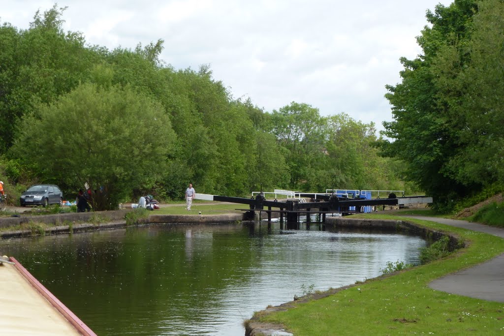
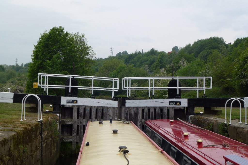
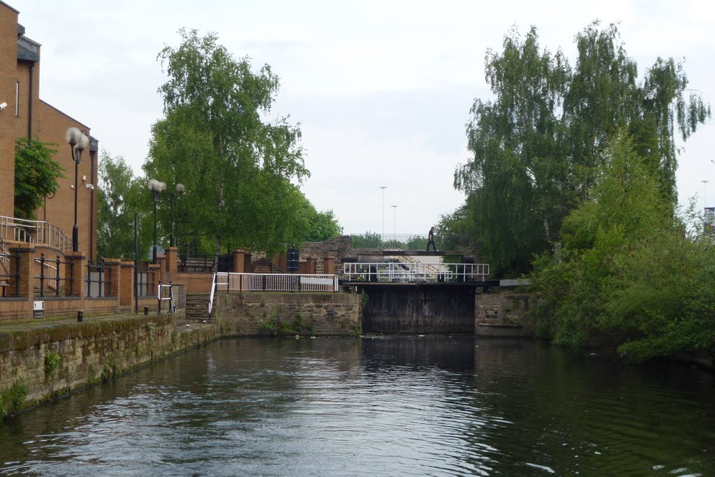
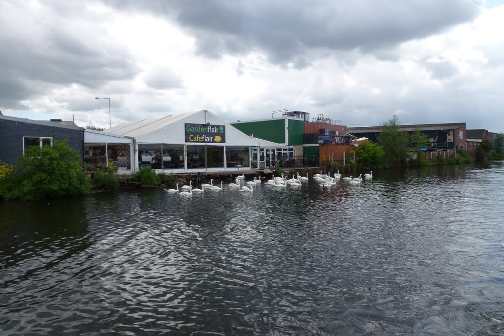
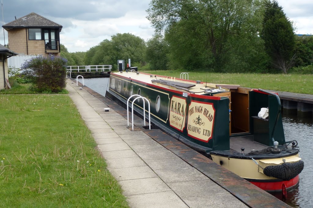
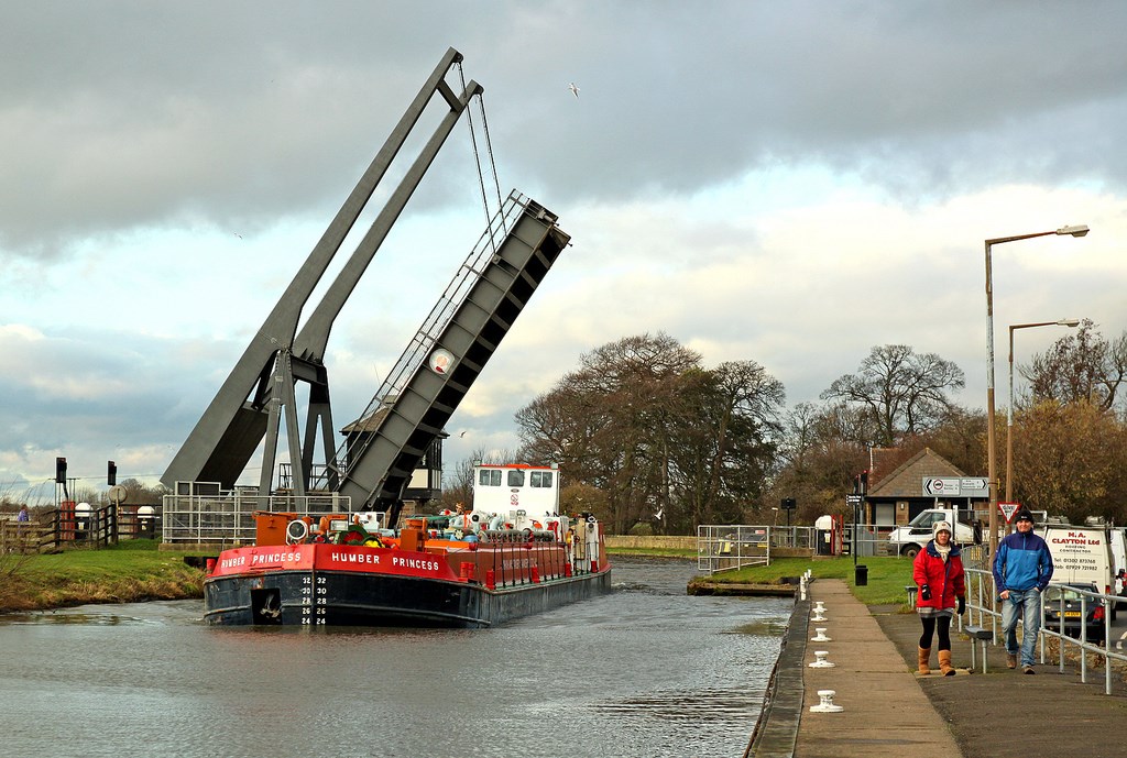
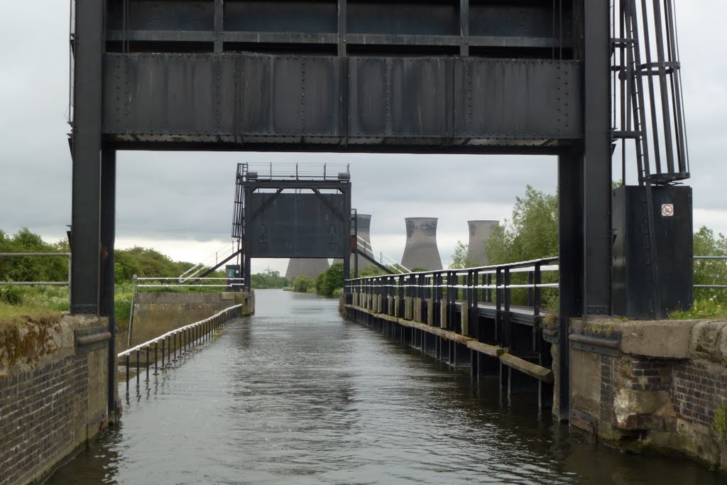
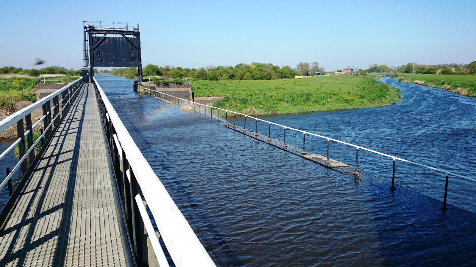
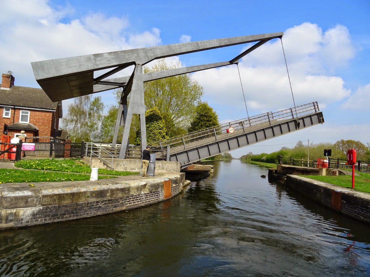
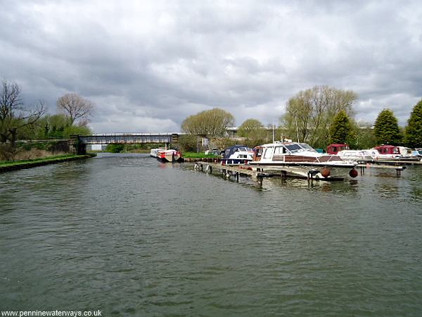
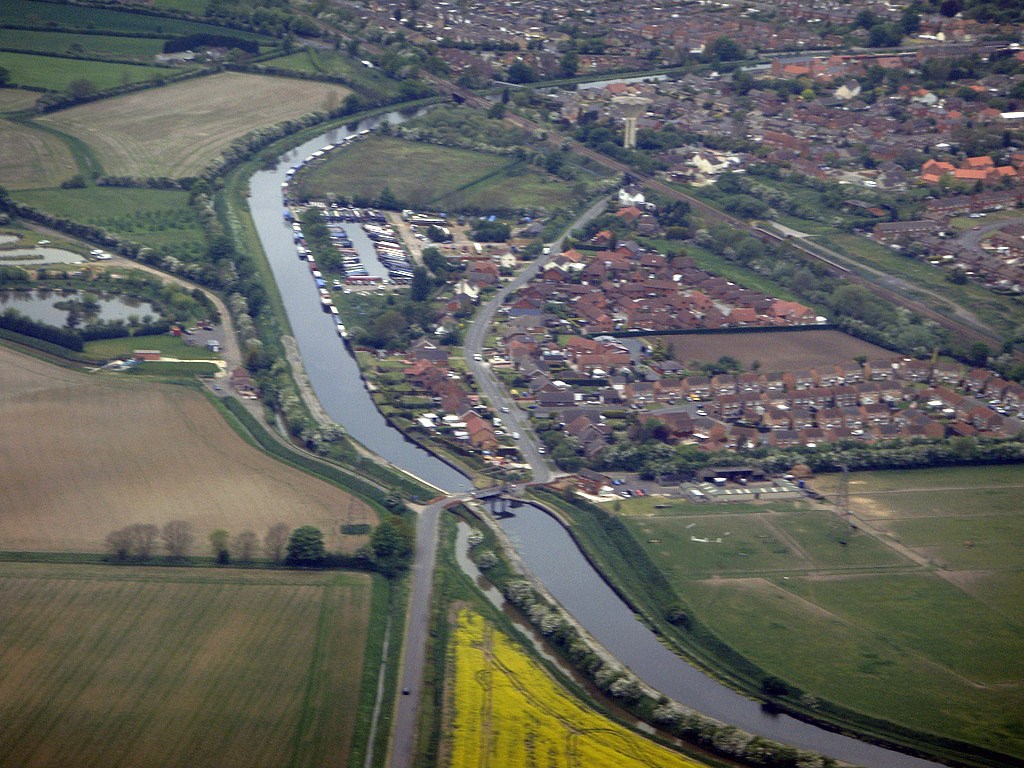
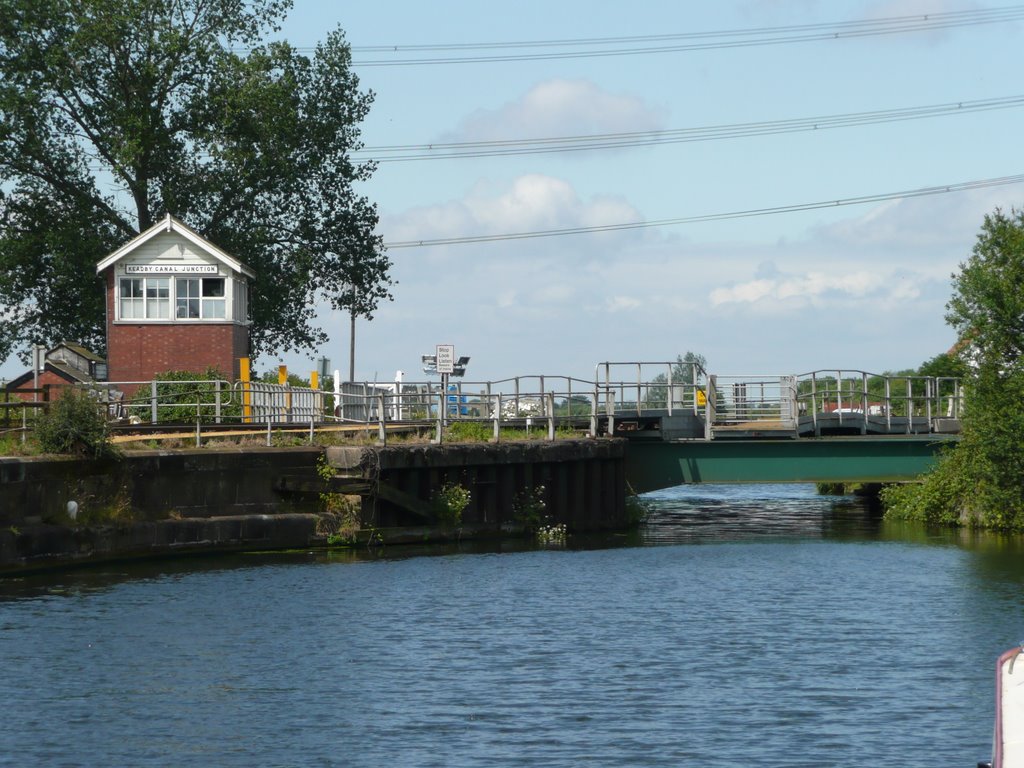
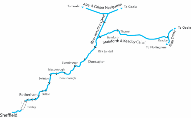
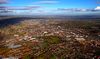
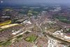
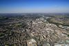
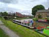
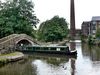
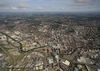
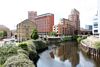
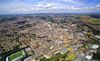
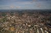
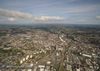
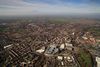
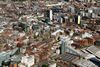
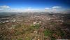
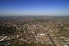
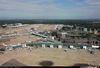
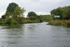
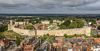
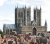
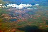
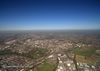
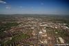
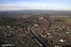
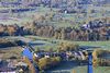
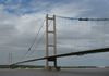
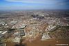
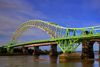
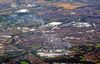
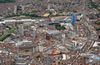
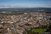
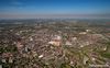
Descripción:La vía navegable de Sheffield y Yorkshire del Sur (S&SY) es un sistema de vías navegables interiores (canales y ríos canalizados) en South Yorkshire y Lincolnshire, Inglaterra.
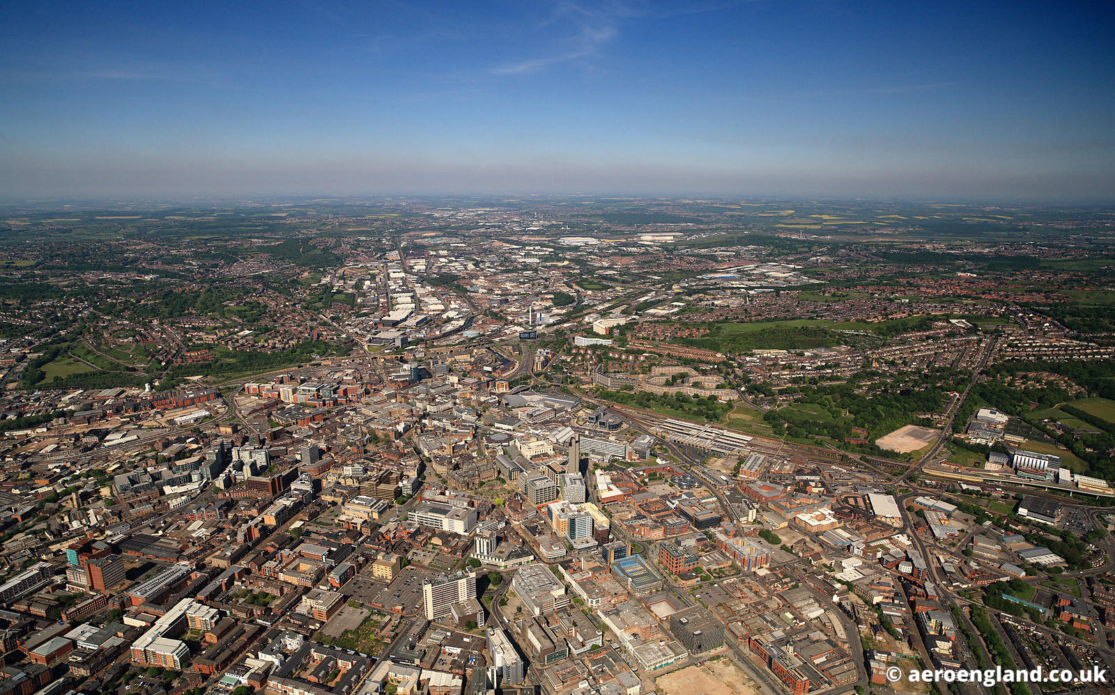
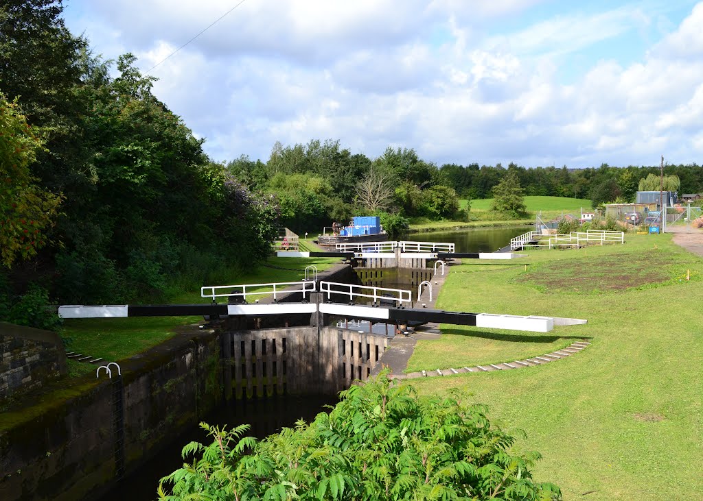
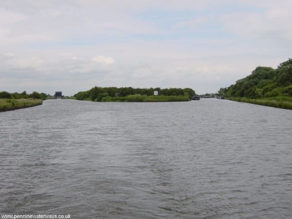
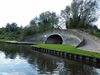
Principalmente basado en el río Don, que tiene una longitud de 43 millas (69 km) y tiene 27 esclusas. Conecta Sheffield, Rotherham y Doncaster con el río Trent en Keadby y (a través del Canal de Nueva Unión) la vía navegable del Aire y Calder.

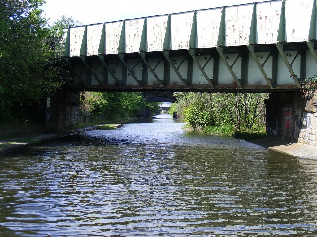
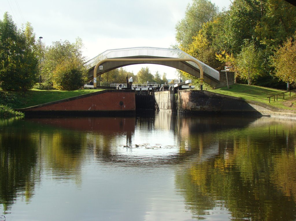
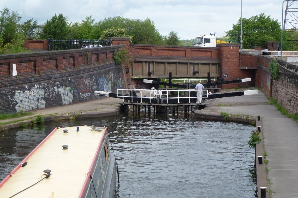
El sistema consistía en cinco partes, cuatro de los cuales todavía están abiertos a la navegación hoy:
La vía navegable del río Don
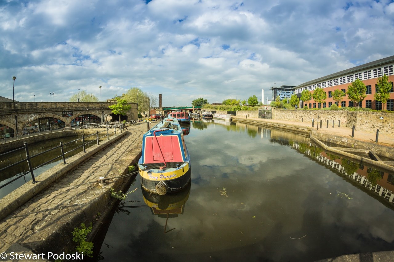
El Canal de Sheffield (efectivamente abandonado en la década de 1970, pero revitalizado desde la década de 1990)
El Canal de Stainforth y Keadby
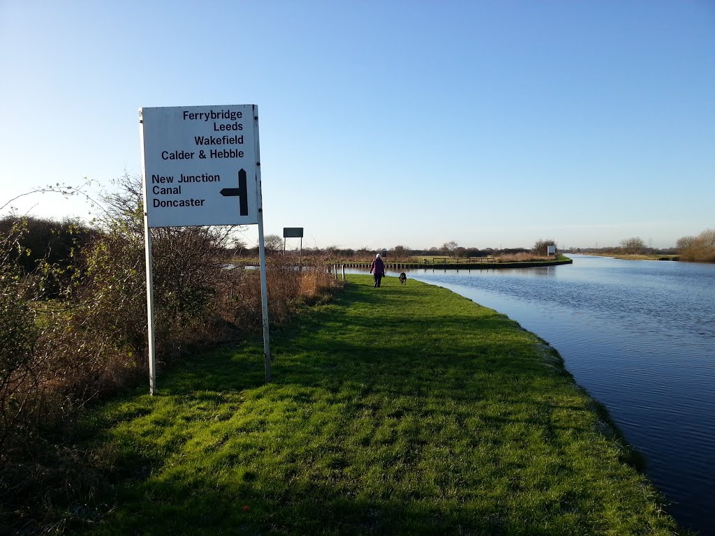
El Canal de Nueva Unión
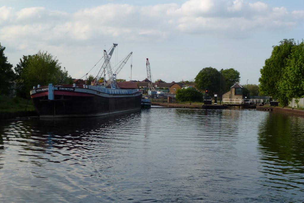
El Canal de Dearne y Dove (cerrado en 1961)
https://en.wikipedia.org/wiki/Sheffield_and_South_Yorkshire_Navigation
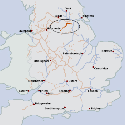
The Sheffield and South Yorkshire Navigation runs for 40 miles between Sheffield, South Yorkshire, and the River Trent, UK.
It is made up of the Sheffield and Tinsley Canal, Don Navigation and Stainforth and Keadby Canal, along with the New Junction Canal.
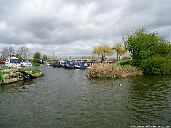
Locks between Rotherham and the New Junction were enlarged in the 1980s to enable larger craft to use them. A small amount of commercial traffic still uses this part of the waterway. The other parts of the waterway are now used purely for leisure.
http://www.penninewaterways.co.uk/sheffield/index.htm

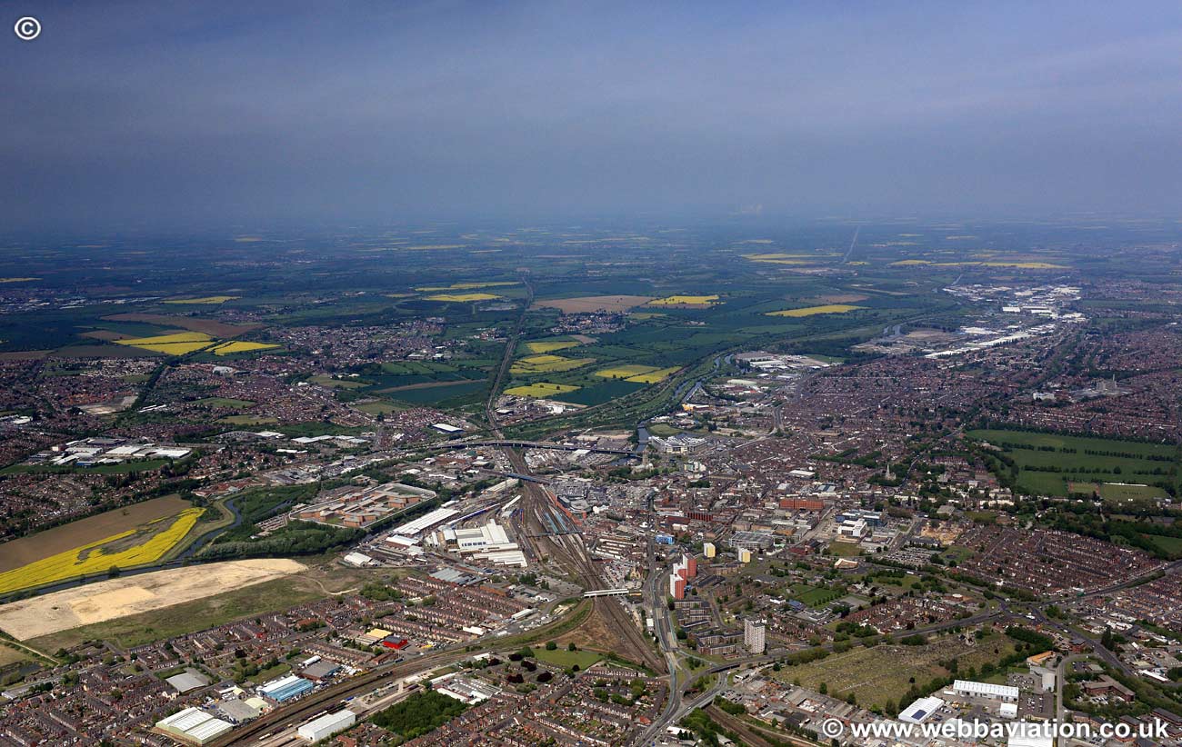
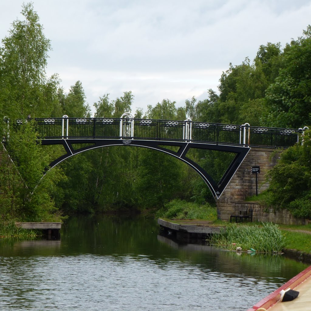
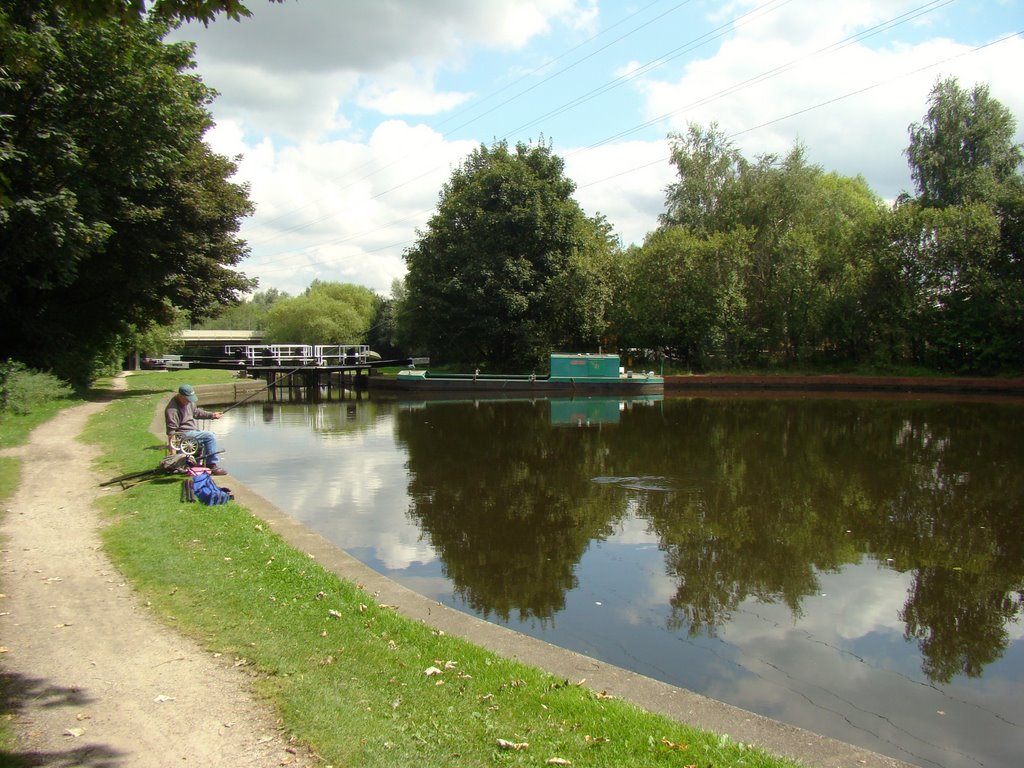
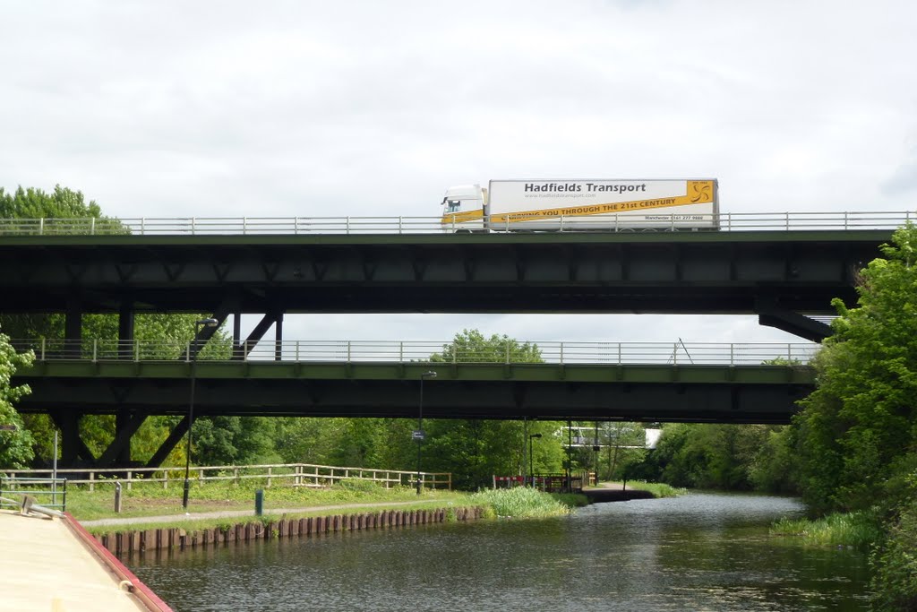
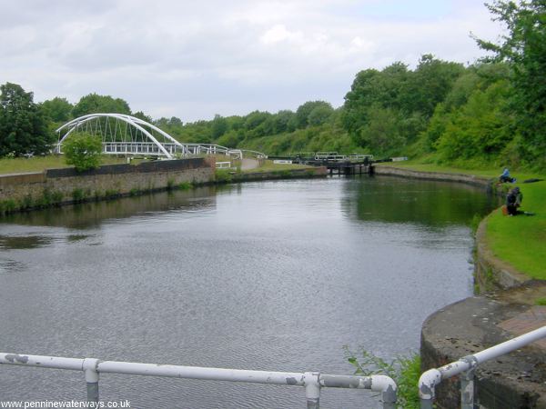
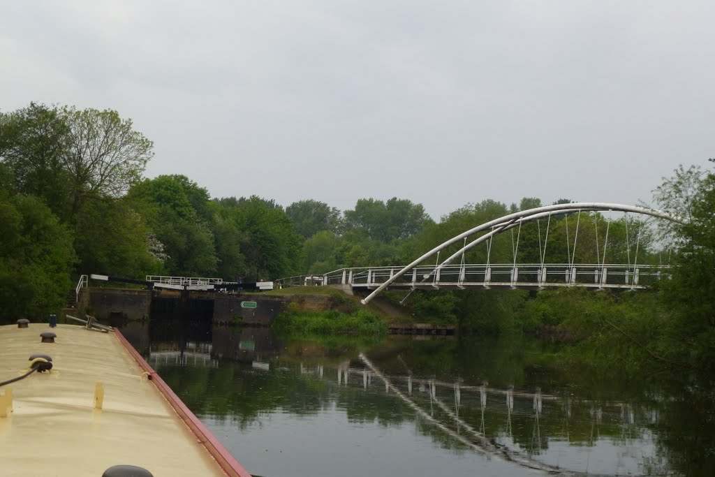
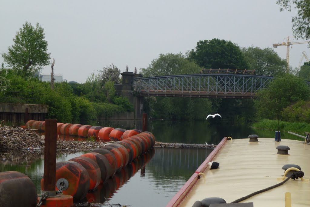
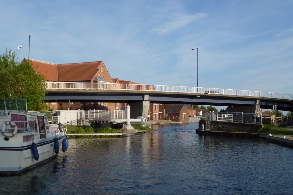
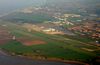
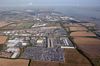
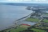
The Sheffield and South Yorkshire Navigation leaves the River Trent at Keadby. It was created by a 19th century amalgamation of a number of canals with the intention of upgrading them to allow large craft to link Sheffield, Doncaster and the south Yorkshire coalfield with the North Sea. Trade continued well into the 20th century but the area now provides a fascinating collection of surprisingly attractive and interesting wide cruising routes. It includes the Sheffield Canal, the Stainforth and Keadby Canal and the New Junction Canal which links to the Aire and Calder.
http://www.canaljunction.com/canal/trent.htm
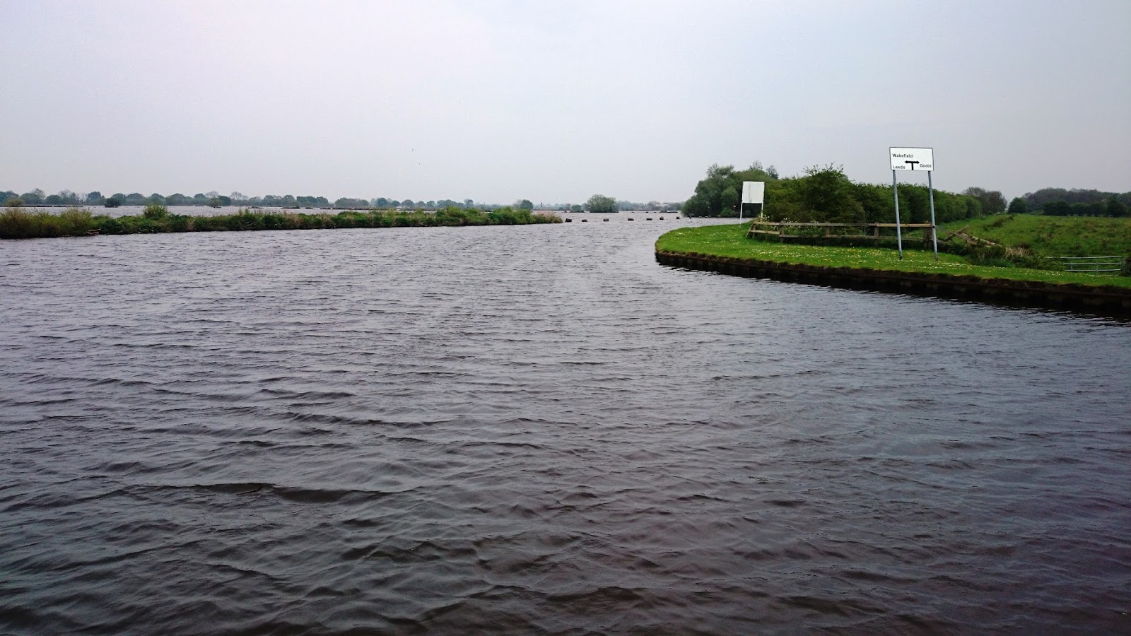

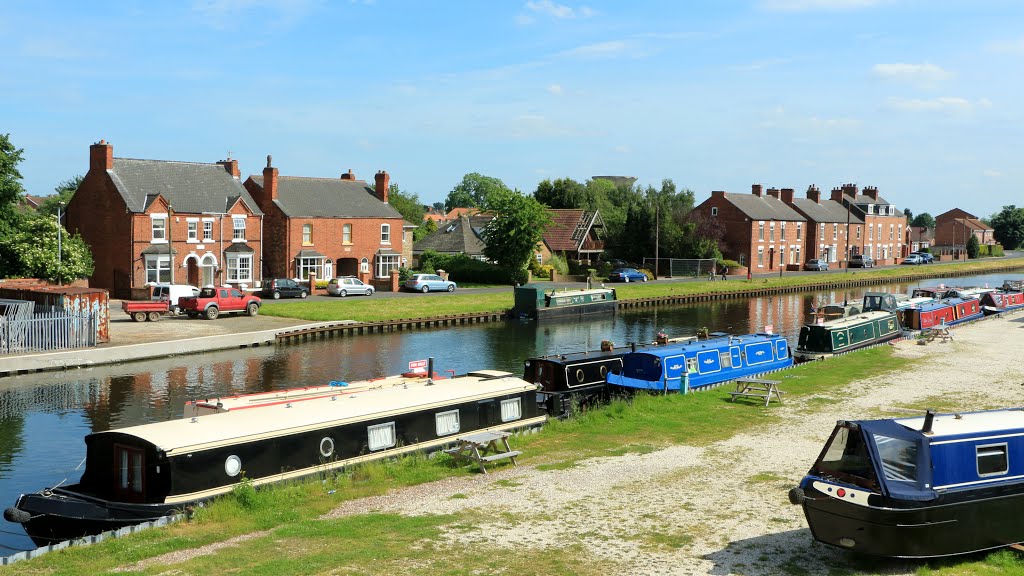
Sheffield & South Yorkshire Navigations
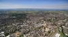
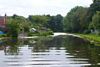
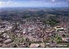
From the regenerated heart of urban Sheffield to the lush green of the Don valley, the Sheffield & South Yorkshire Navigation offers a fascinating perspective on this former industrial area.
It is made up of the Sheffield & Tinsley Canal, the River Don Navigation and Stainforth & Keadby Canal.
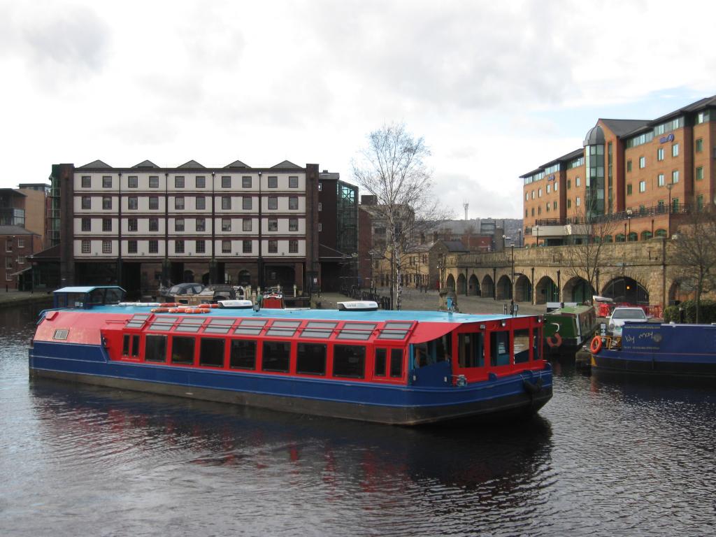
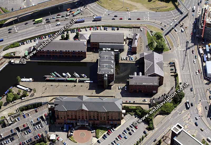
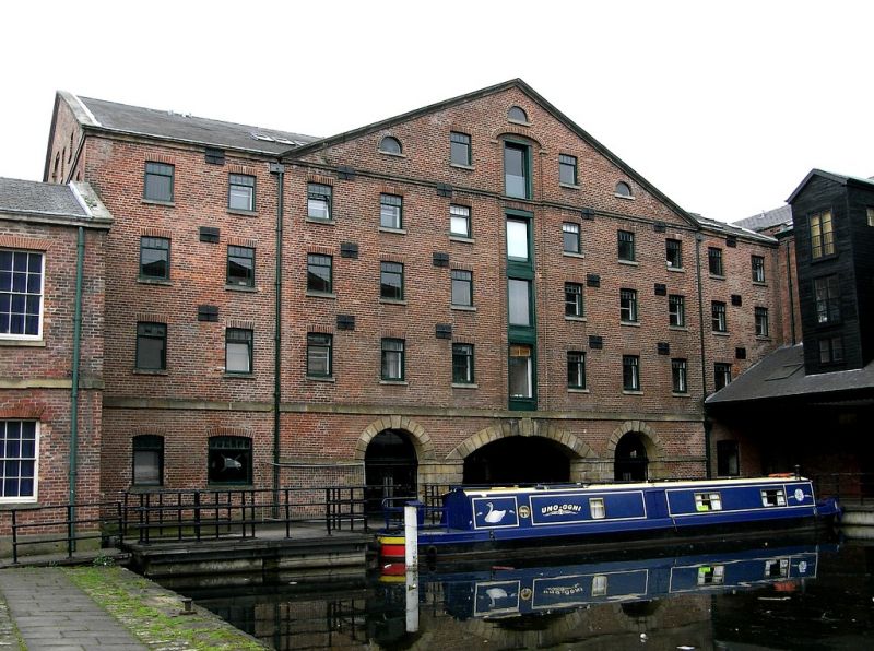
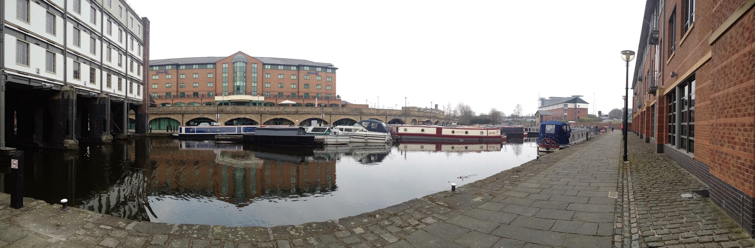
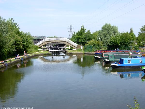
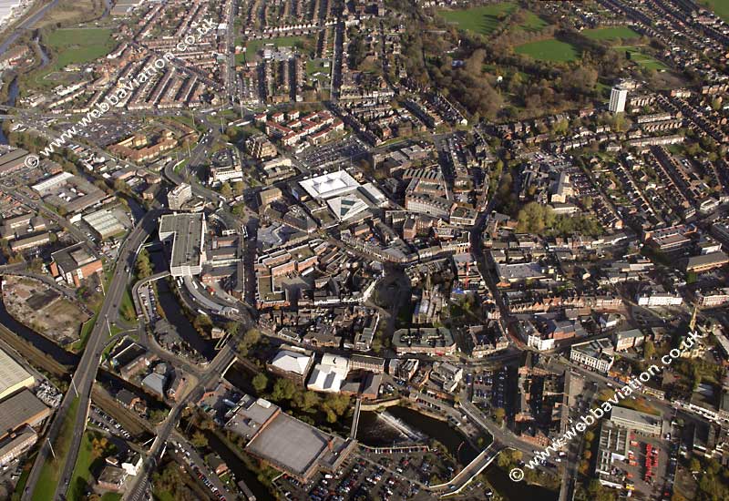
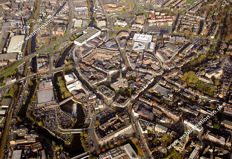
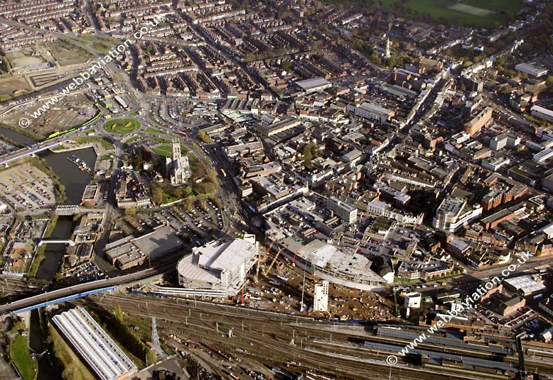
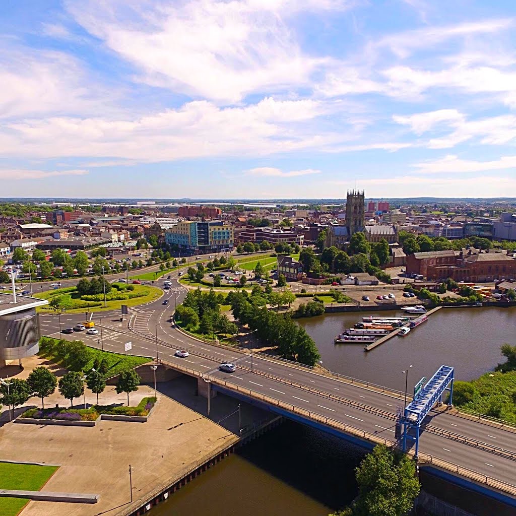
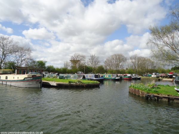
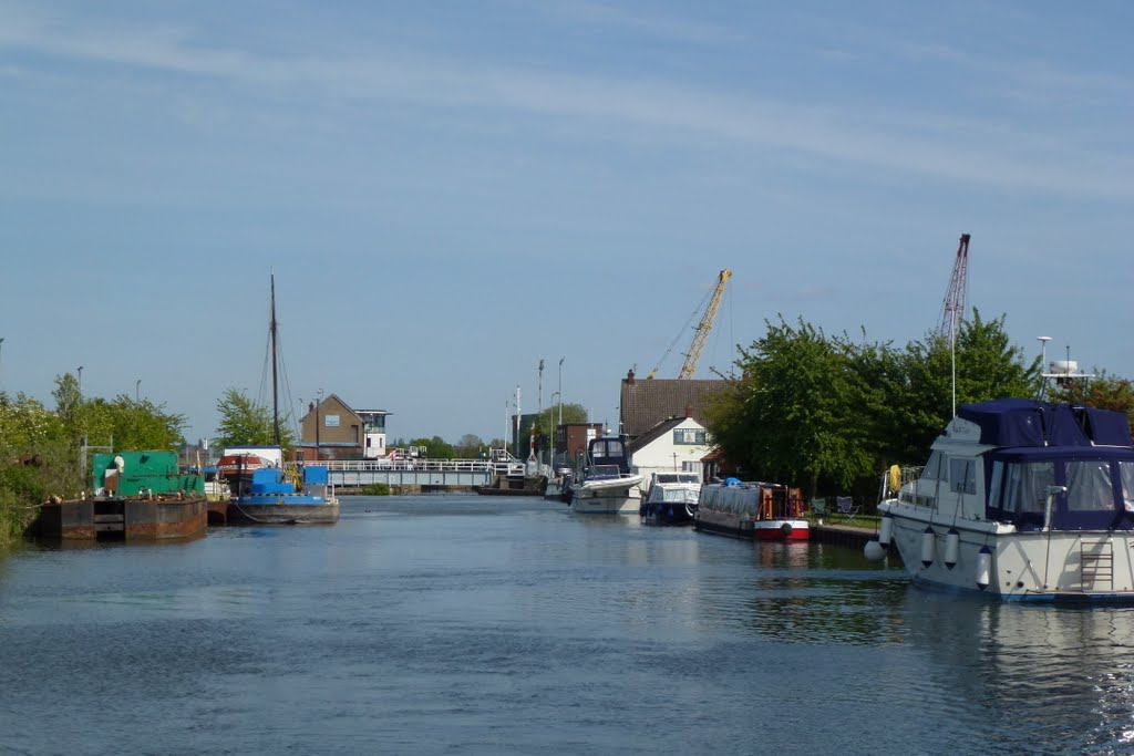
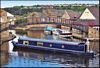
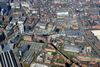
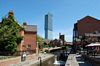
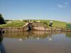
The Sheffield & Tinsley Canal is fine example of an industrial canal that has found a new lease of life. Victoria Quays, in Sheffield has been regenerated and is now a bustling waterfront destination with restaurants, bars, a hotel and health club.
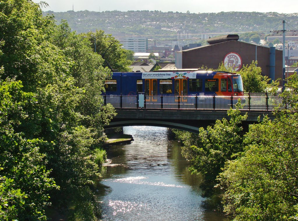
Improvements to the towpath have created a canalside walking route from the city centre out to Meadowhall shopping centre. The Sheffield & Tinsley Canal found big-screen fame in 1997, appearing in the opening scenes of the comedy film The Full Monty.
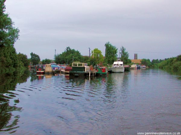
The Stainforth & Keadby Canal runs through rural South Yorkshire scenery, and is a part of the area’s rich industrial history. If you are an angler, this could be the canal for you, with coarse fisheries on several stretches consistently offering chances for a good catch.
http://nbgabriel.blogspot.com.es/2016/05/thorne-to-wakefield.html
http://ianhelencanals.blogspot.com.es/2015/05/sunshine-and-storms-to-sheffield.html

Sheffield & South Yorkshire Navigation
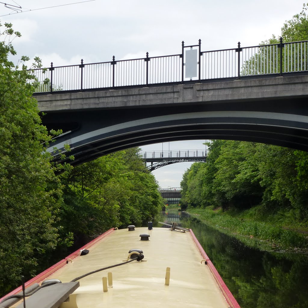
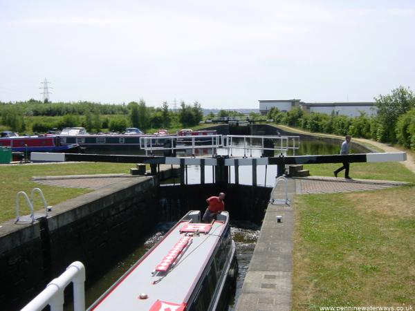
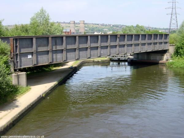
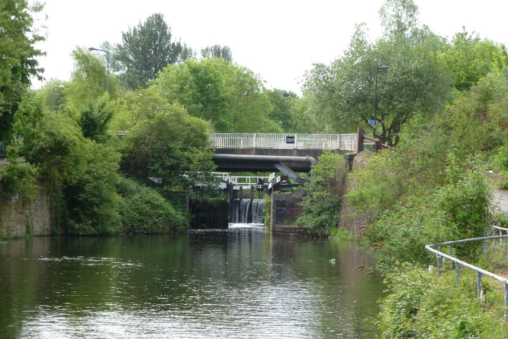
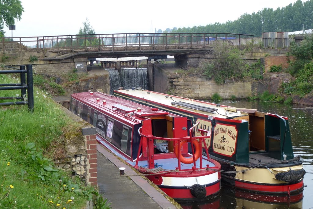
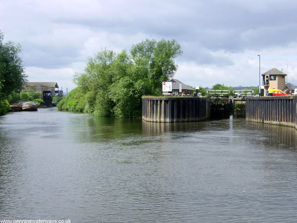
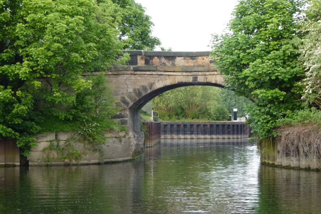
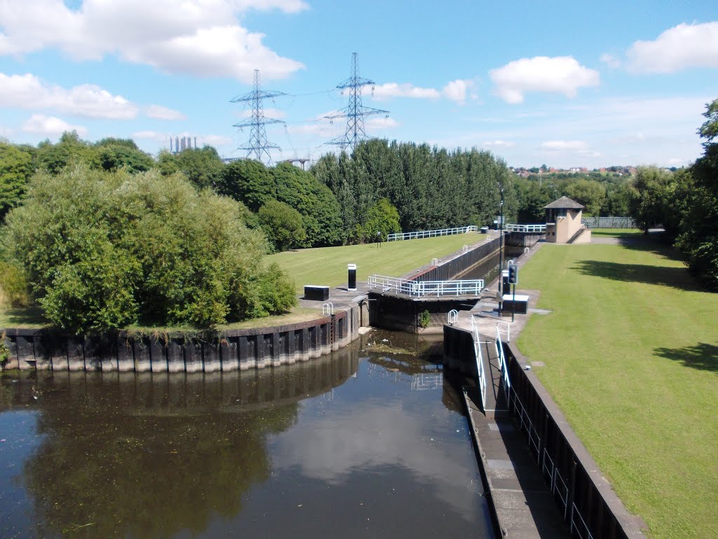
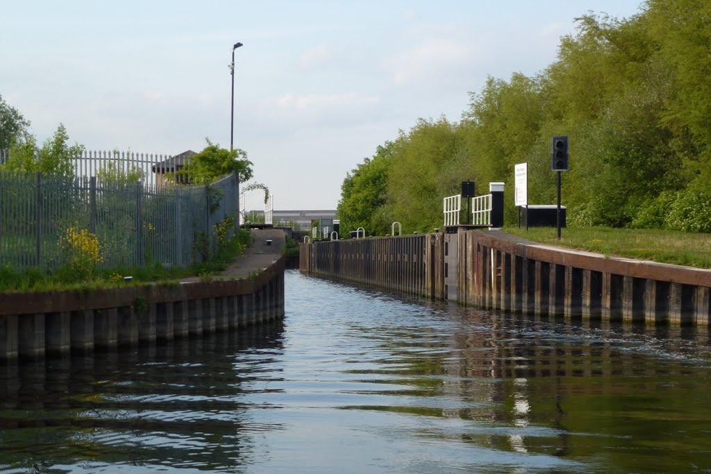
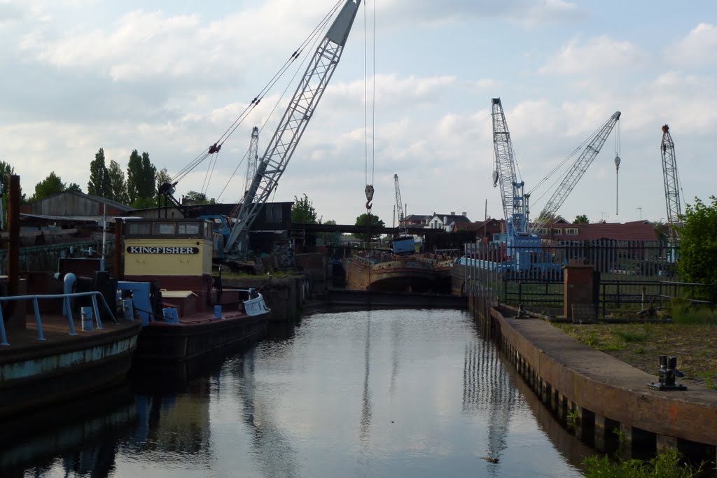
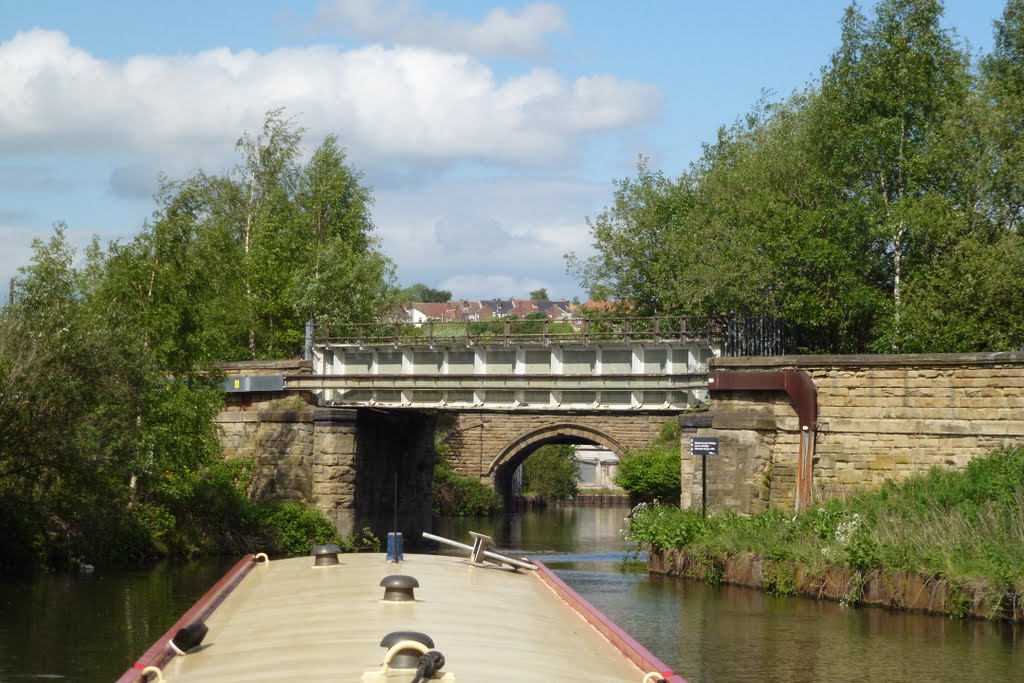
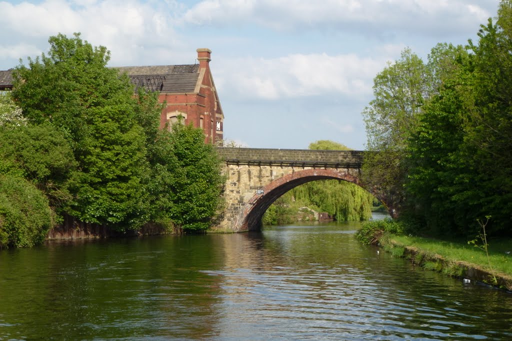
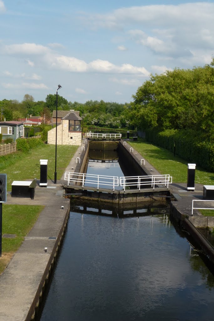
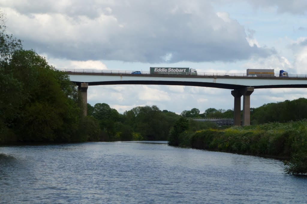
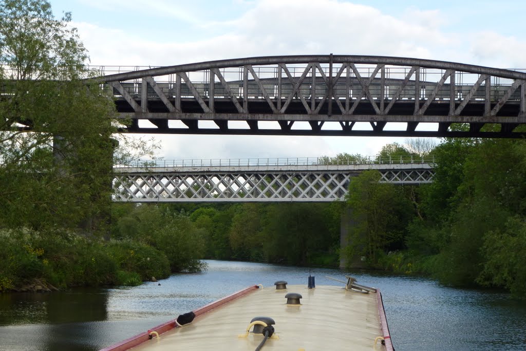
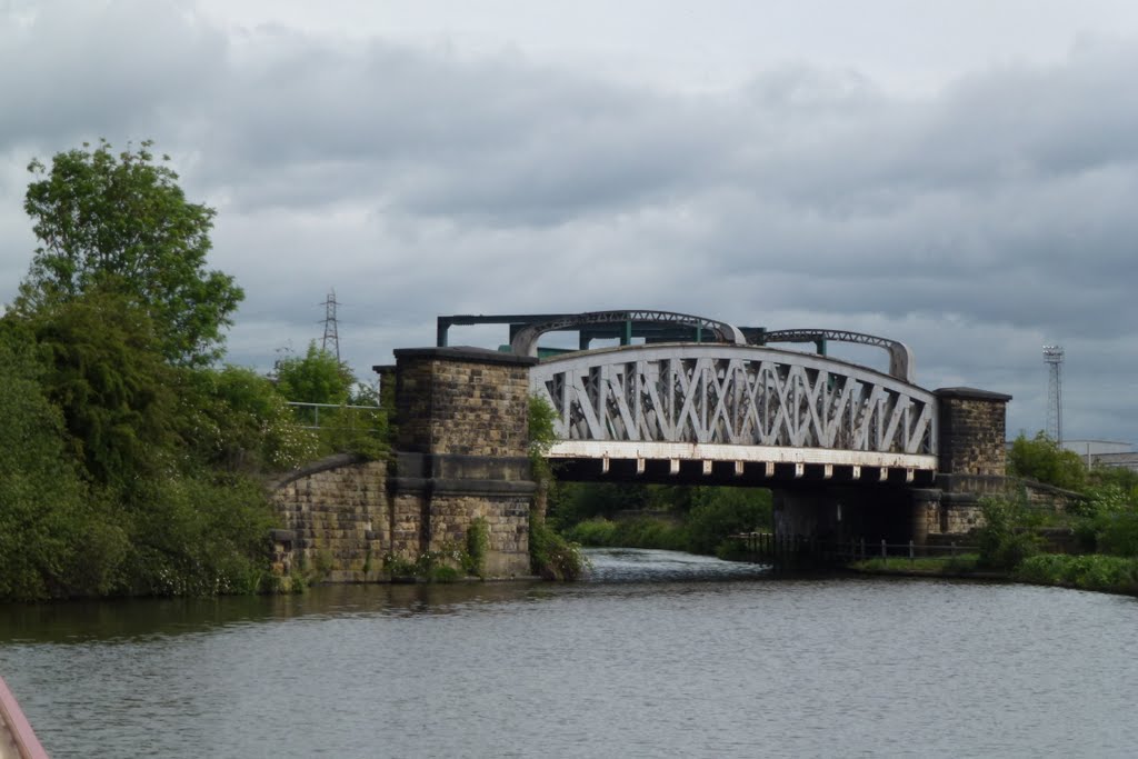
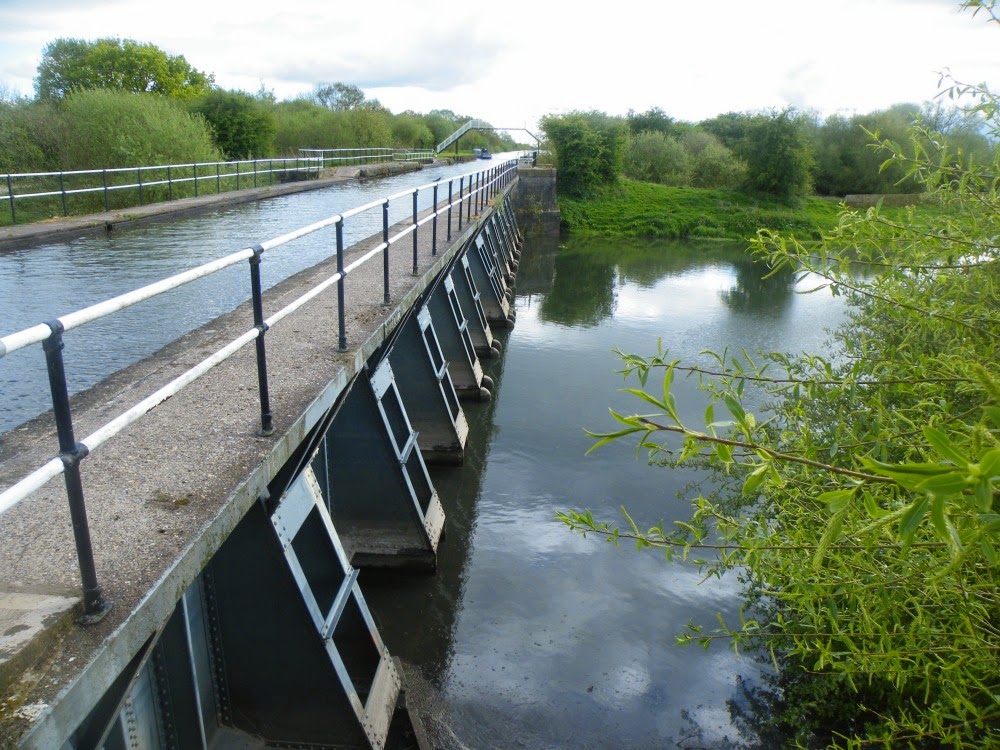
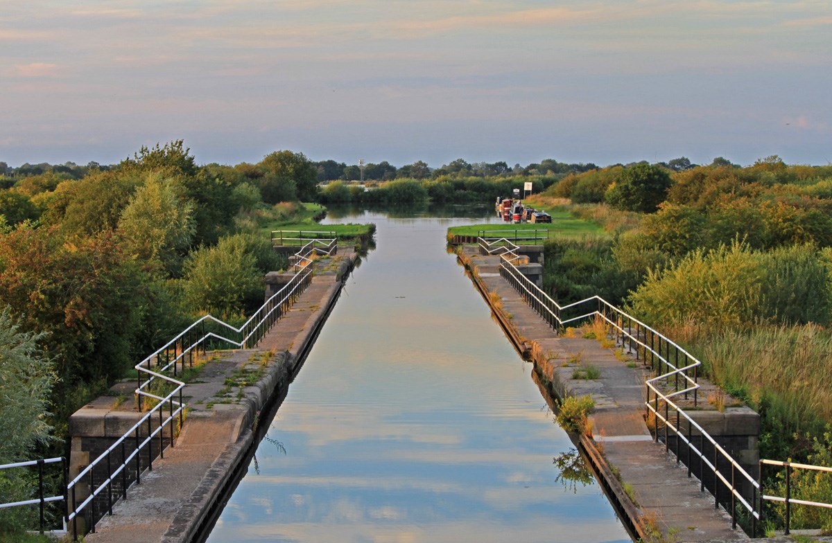
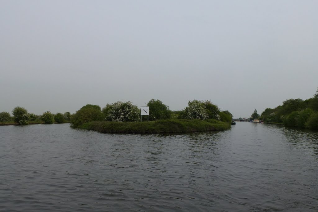
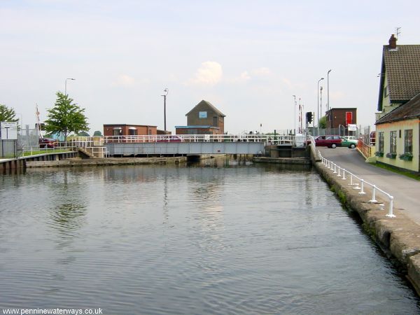
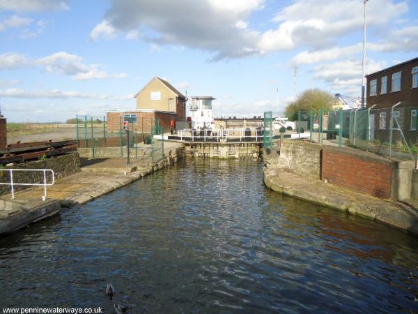
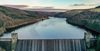
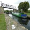
The Sheffield and South Yorkshire Navigation comprises the Stainforth & Keady Canal (which joins the river Trent at Keadby Lock), the New Junction Canal (which runs between the Stainforth & Keadby Canal at Bramwith Junction and the Aire & Calder Navigation at Southfield Junction), the River Don Navigation (which runs from the bottom of Tinsley Flight to Bramwith Junction) and the Sheffield & Tinsley Canal (which runs from the head of navigation in Sheffield to the bottom of Tinsley Flight). A total of 48.4 miles (77.9 km) with 28 locks. The Dearne & Dove Canal (restoration proposed) also joined the River Don Navigation at Swinton.
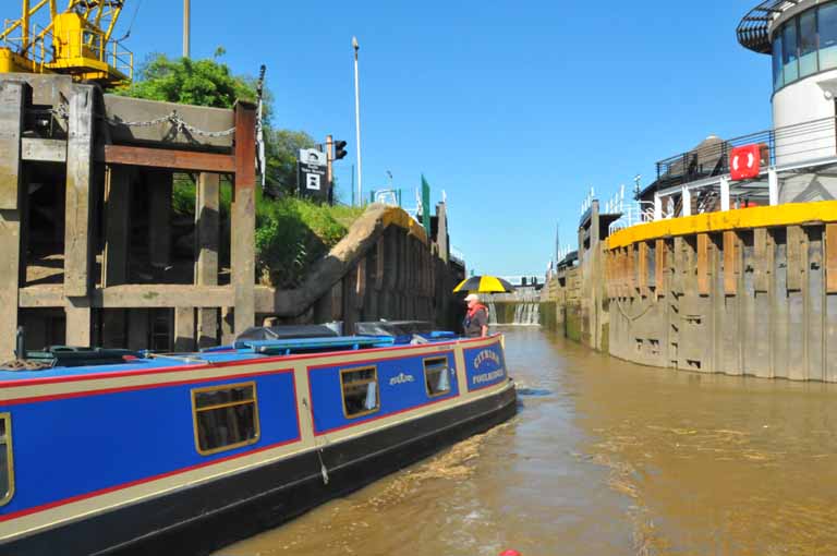
The maximum boat size that can navigate throughout the Sheffield & South Yorkshire Navigation is
length: 68' 7" (20.9 metres) - Ickles Lock or 61' 7" (18.8 metres) - Thorne Lock (Stainforth & Keadby Canal)
beam: 19' 0" (5.8 metres) - Ickles Lock (Tinsley Flight) or 18' 4" (5.6 metres) - Thorne Lock
height: 10' 0" (3.05 metres) - Bacon Lane Bridge
draught: 4' 0" (1.3 metres) - Tinsley Locks or 6' 7" (2 metres) - cill of Rotherham Lock and Attercliffe Aqueduct
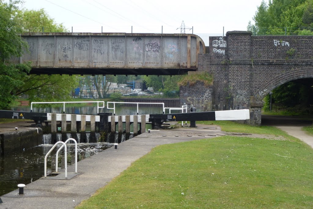
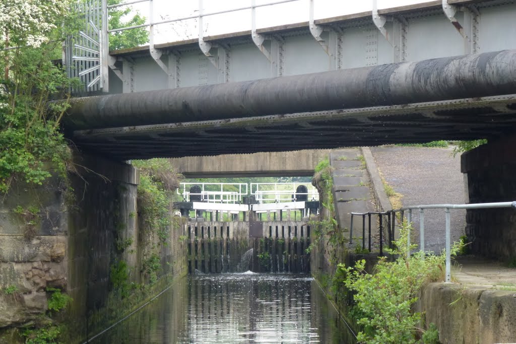
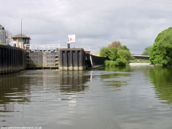
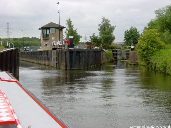
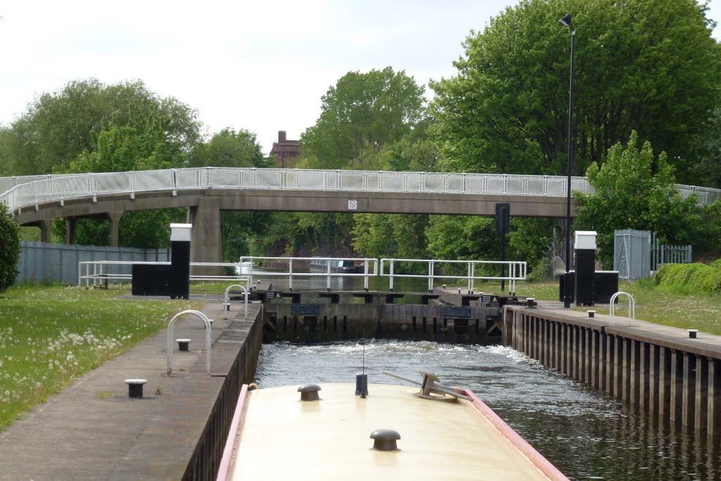
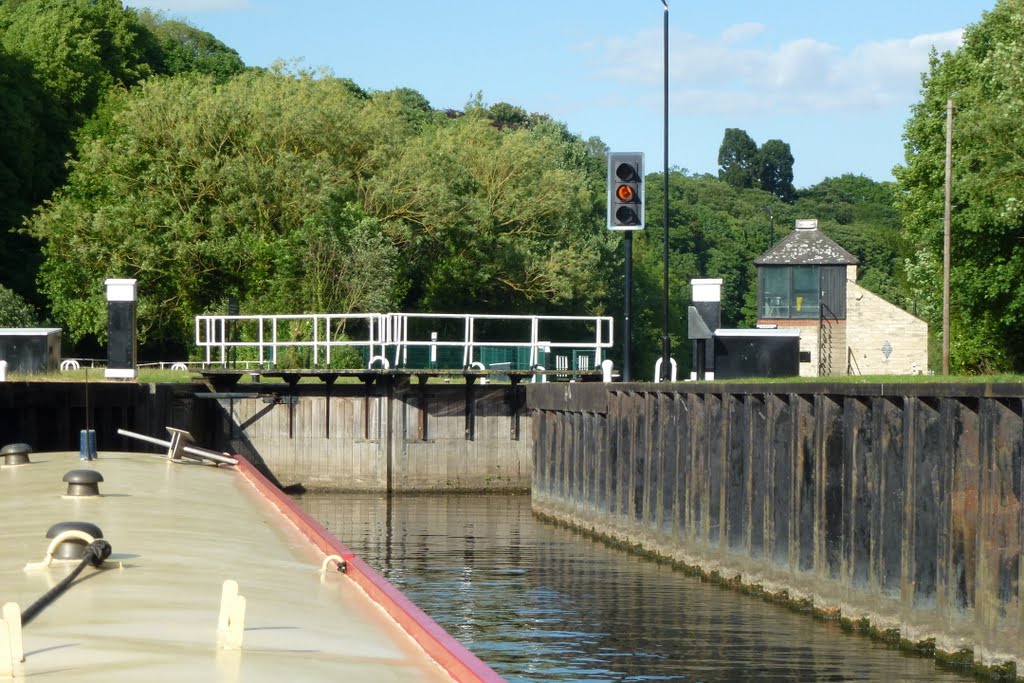
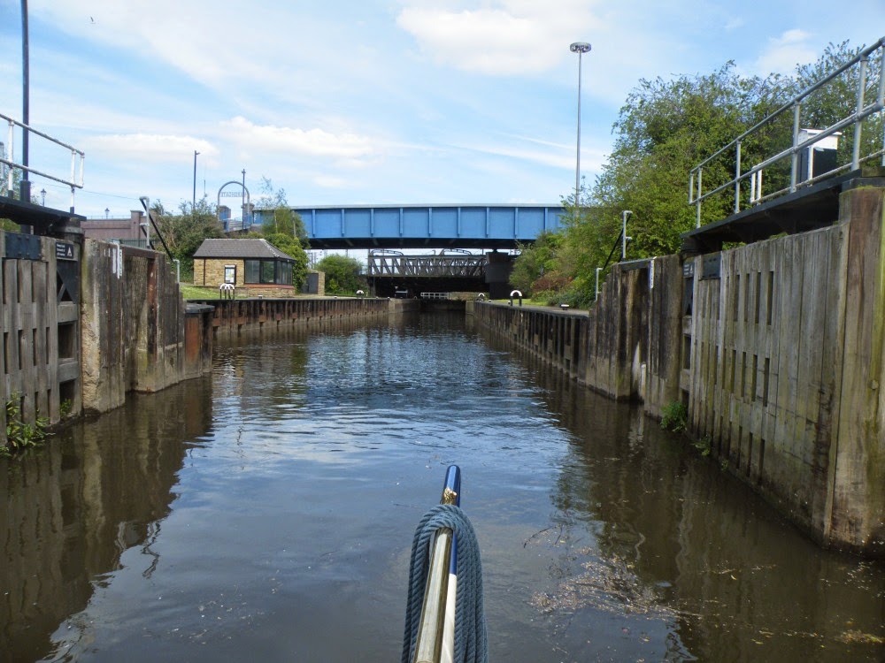
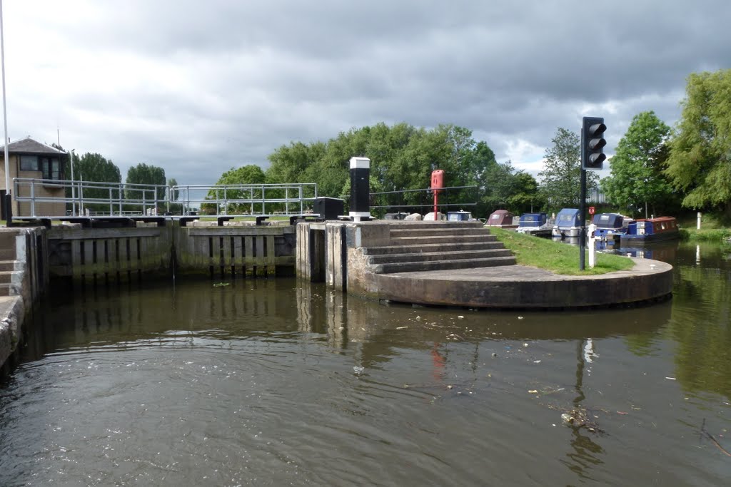
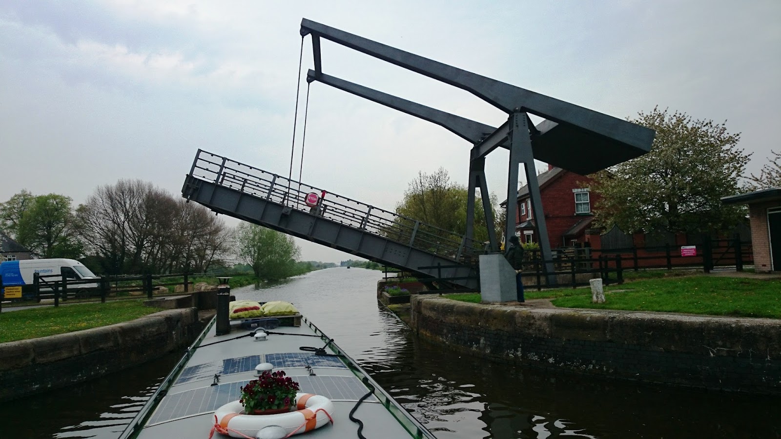
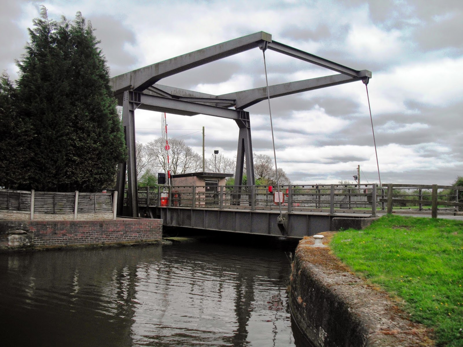
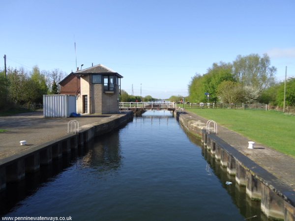
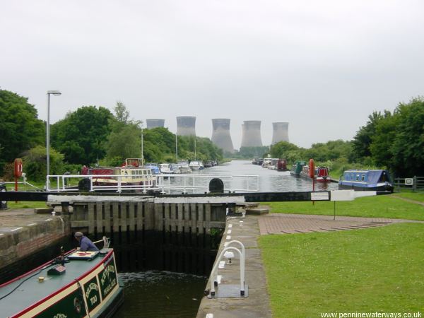
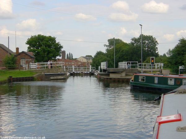
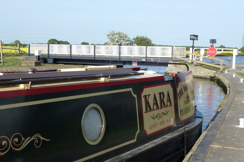
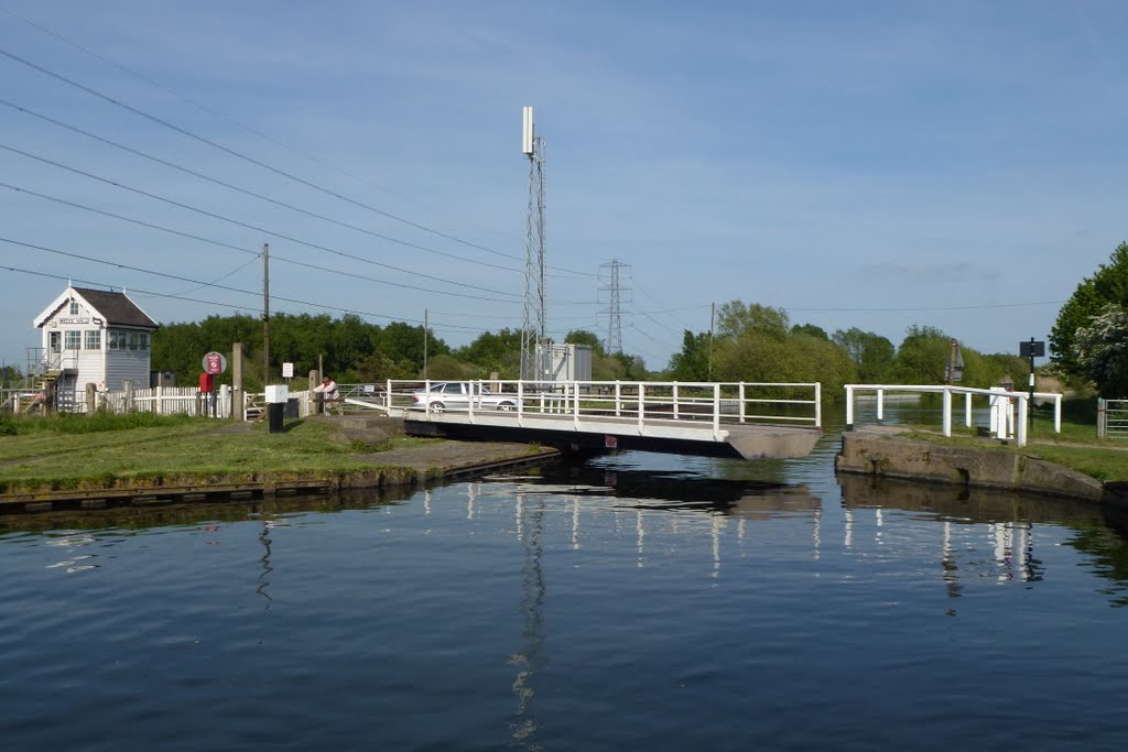
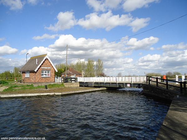
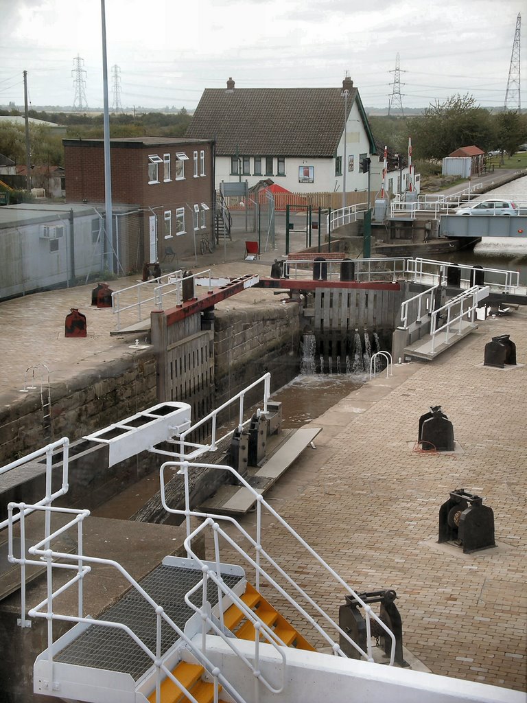
Many of the locks (not Keadby Lock) require a Sanitary Station key to operate and have traffic lights (not Keadby or Thorne locks or the Tinsley Flight) to indicate the status of the lock (much the same as the Trent locks). For the larger locks, each gate and its paddles are controlled from an adjacent console. They are powered up by inserting a Sanitary Station key. An interlock prevents mis-operation. Detailed instructions are displayed at each console.
At the larger locks used by commercial vessels, recreational boaters are advised to keep clear of large vessels when they are leaving or entering a lock. Where provided, use the shorter leisure boat landings.
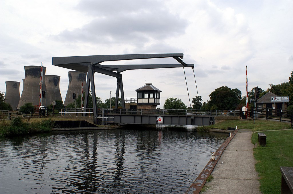
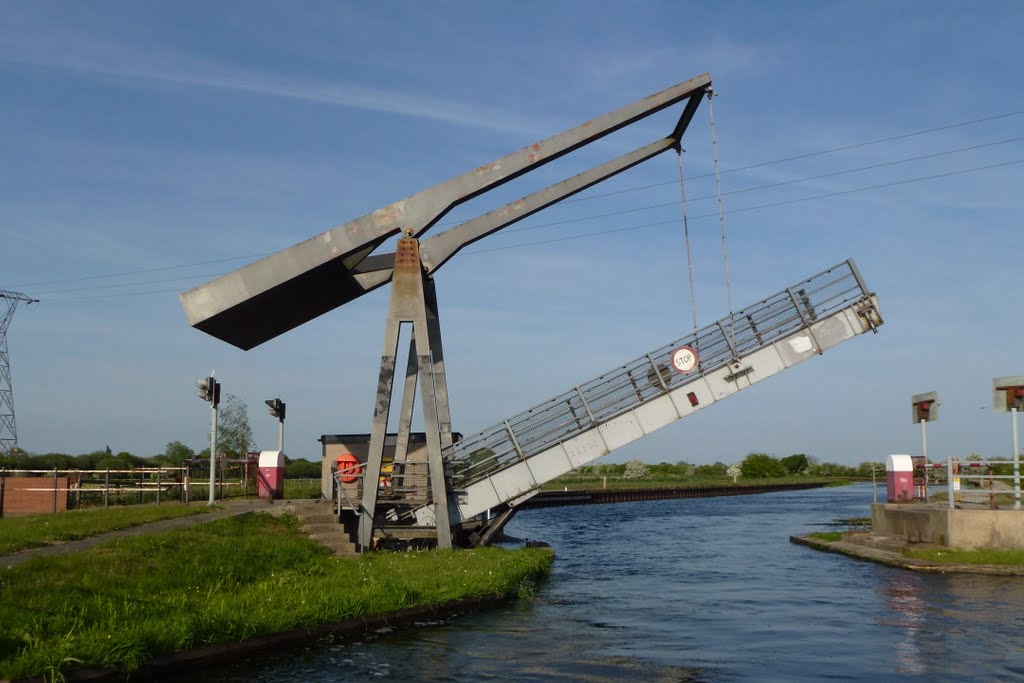
A Sanitary Station key is required for the swing bridges on the Stainforth & Keadby Canal. Keadby Lock, which leads to the tidal Trent, is operated by a lockkeeper - call 01724 782205 (or 07733 124611) 24-hours in advance.
http://nbgabriel.blogspot.com.es/2016/05/thorne-to-wakefield.html
http://ianhelencanals.blogspot.com.es/2015/05/sunshine-and-storms-to-sheffield.html
Vídeo:
Web recomendada: http://www.penninewaterways.co.uk/sheffield/index.htm
Contador: 4978
Inserción: 2016-10-05 18:48:46
Lugares a visitar en un radio de 100 km (en línea recta)


Mapa de los lugares a 100 km (en línea recta)
Mostrando Registros desde el 1 hasta el 0 de un total de 0
Visitas RSS |
Más visitados Basílica de San Marcos  153494 Catedral de Notre Dame (París)  143022 Torre de Pisa  130580 Monte Saint-Michel  99762 Presa de las Tres Gargantas  79867 |
Incorporaciones Paisley  63 Bury  115 Castillo Mareccio  116 Castillo de San Martín de la Vaneza  125 Castillo de Arzignano  126 |
Comentarios hazola  Cúpula de la Roca gracias me... gera  Buenos Aires las mejores fotos de la mejor ciudad del... Daniel M. - BRASIL  San Francisco ... PEQUE  Presa Chicoasén SERA QUE ALGUIEN ME PUEDE DAR MAS INFORMACIÓN DE ESTE PROYECTO ESTUDIO EN LA UNACH Y ES PARA UN... Mery  Huaca Pucllana Muy interesante, muy buena la información y... |


